Ben Aigan
- Height
- 471 m
- Grade
- Beginner
- Round trip
- about 2 hr 50 min
- Distance
- about 11 km there and back
- Ascent
- 355 m
- Steps
- 14,001
- Start
- Ben Aigan car park, off the A95
- Region
- Moray
Times are our own pace, with Katrina and Chase — and the total has our half-hour wrong turn taken off, though the distance still includes it. Recorded on the app: 10.93 km, 3 hr 20 min.
Always go back down the way you came up. Same rule as every walk on here — if you’re not sure of the ground, that’s the way you know.
Ben Aigan is a local hill of 471 metres sitting right above the Spey near Craigellachie. The day after Mount Keen we were back out — me, Chase and Katrina this time, her first hill on here since Tap o’ Noth.
Getting parked
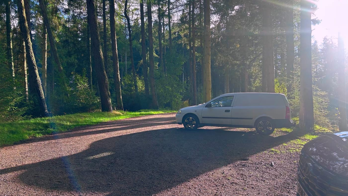
The car park is a gravel clearing in the trees just off the A95, and we had it near enough to ourselves — the van, one other car and the sun coming through the pines.
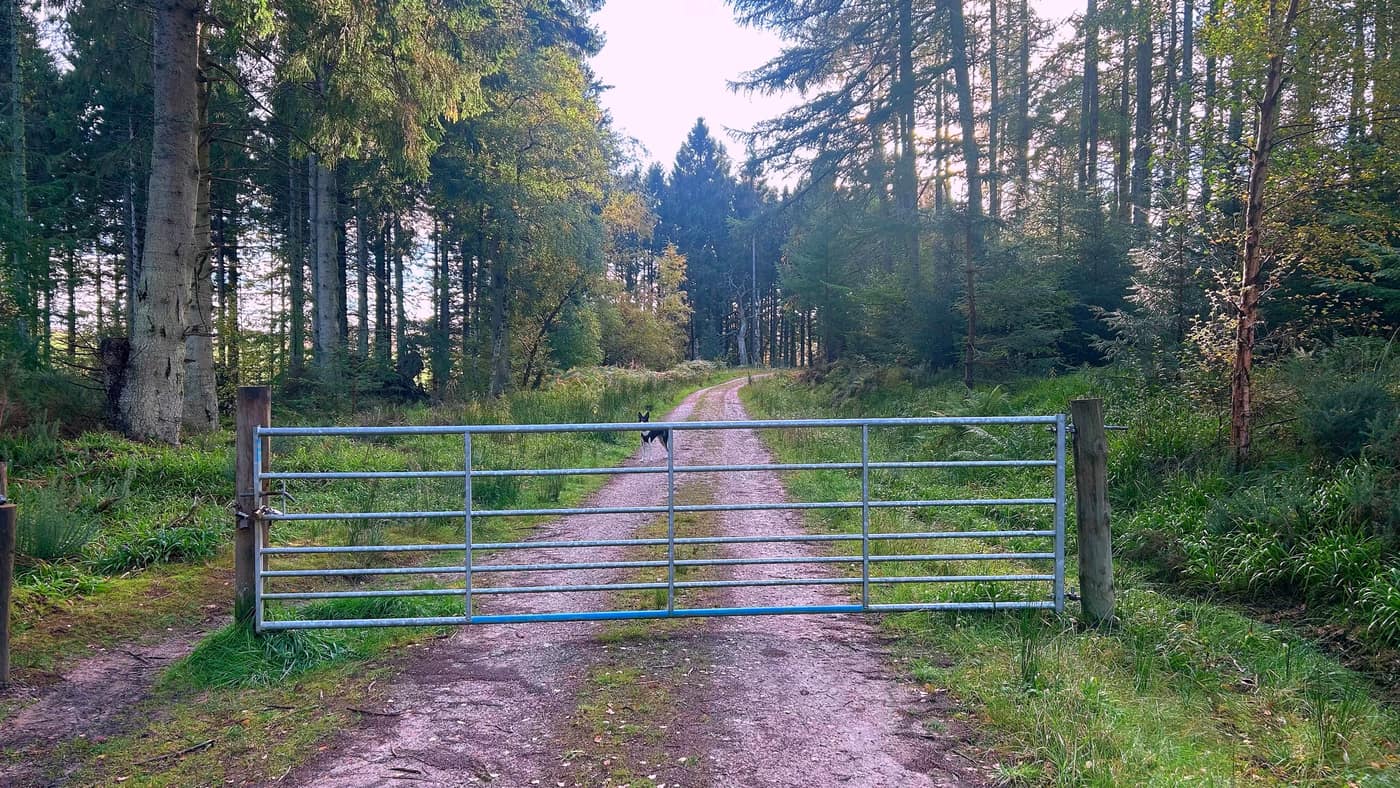
From the car park, head towards the metal gate across the track. It’s padlocked, but you just go round the side of it — Chase was through and waiting before we were.
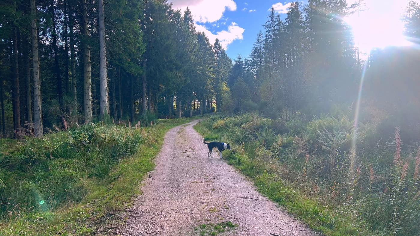
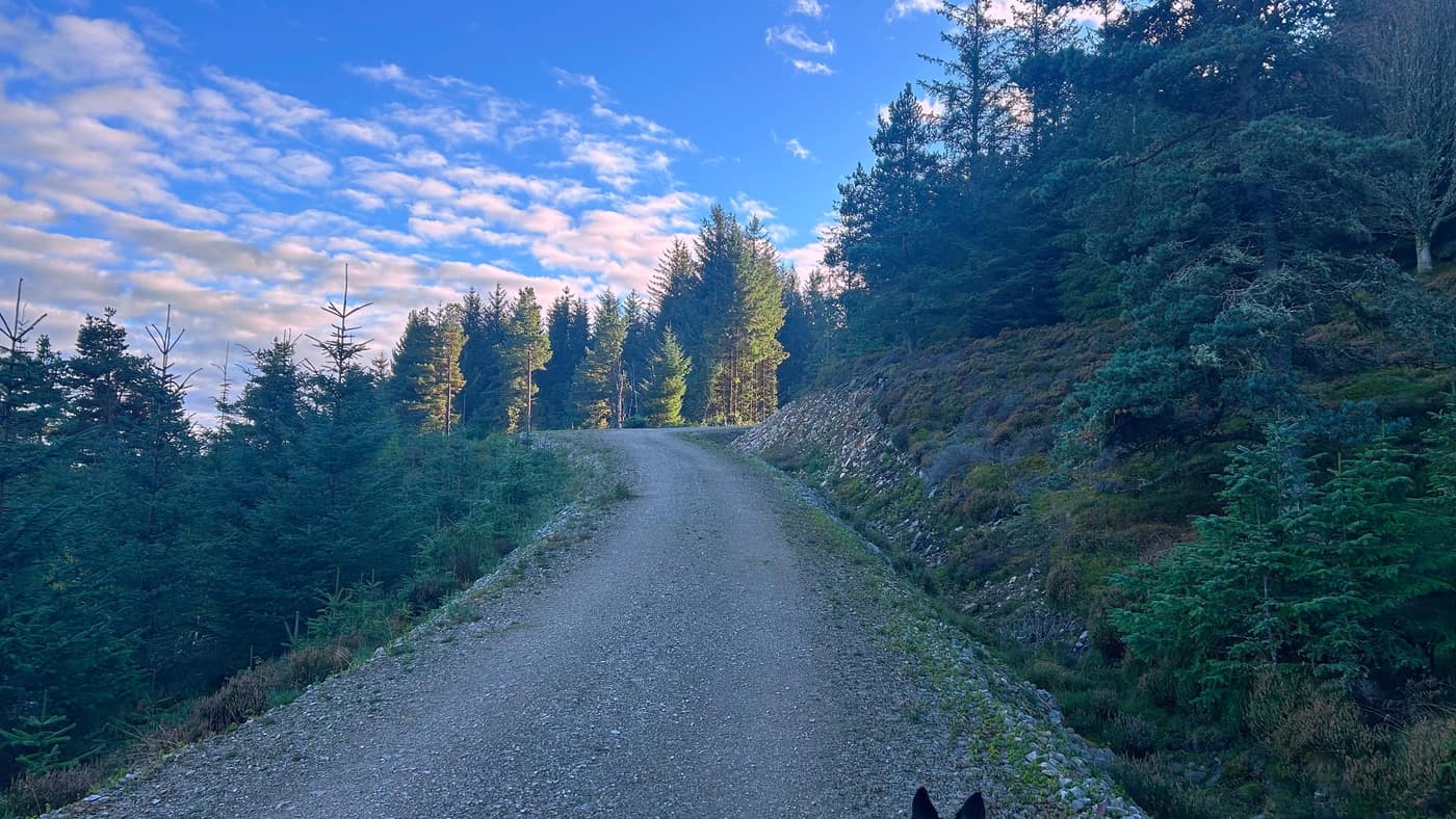
Past the gate the track is wide and easy through the forest, bracken either side and the sun coming through the trees. These tracks are shared with the mountain bikers, so keep an ear out behind you.
To the junction
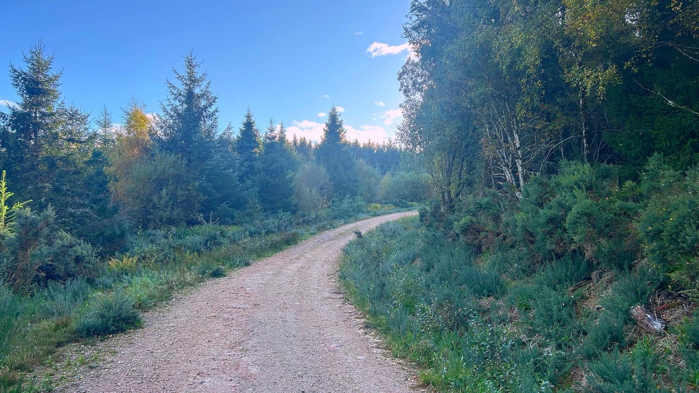
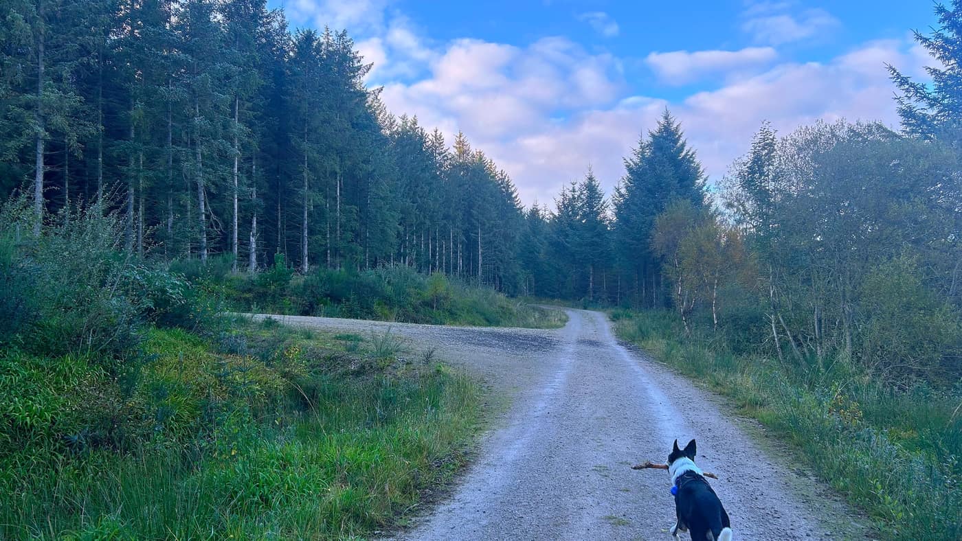
After the gate it’s a straight walk along the track, gorse and young trees either side of it, until you come to a junction. Turn left here. Chase had found himself a stick by this point and wasn’t for putting it down.
Up to the quarry
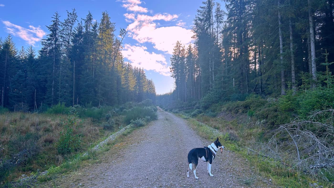
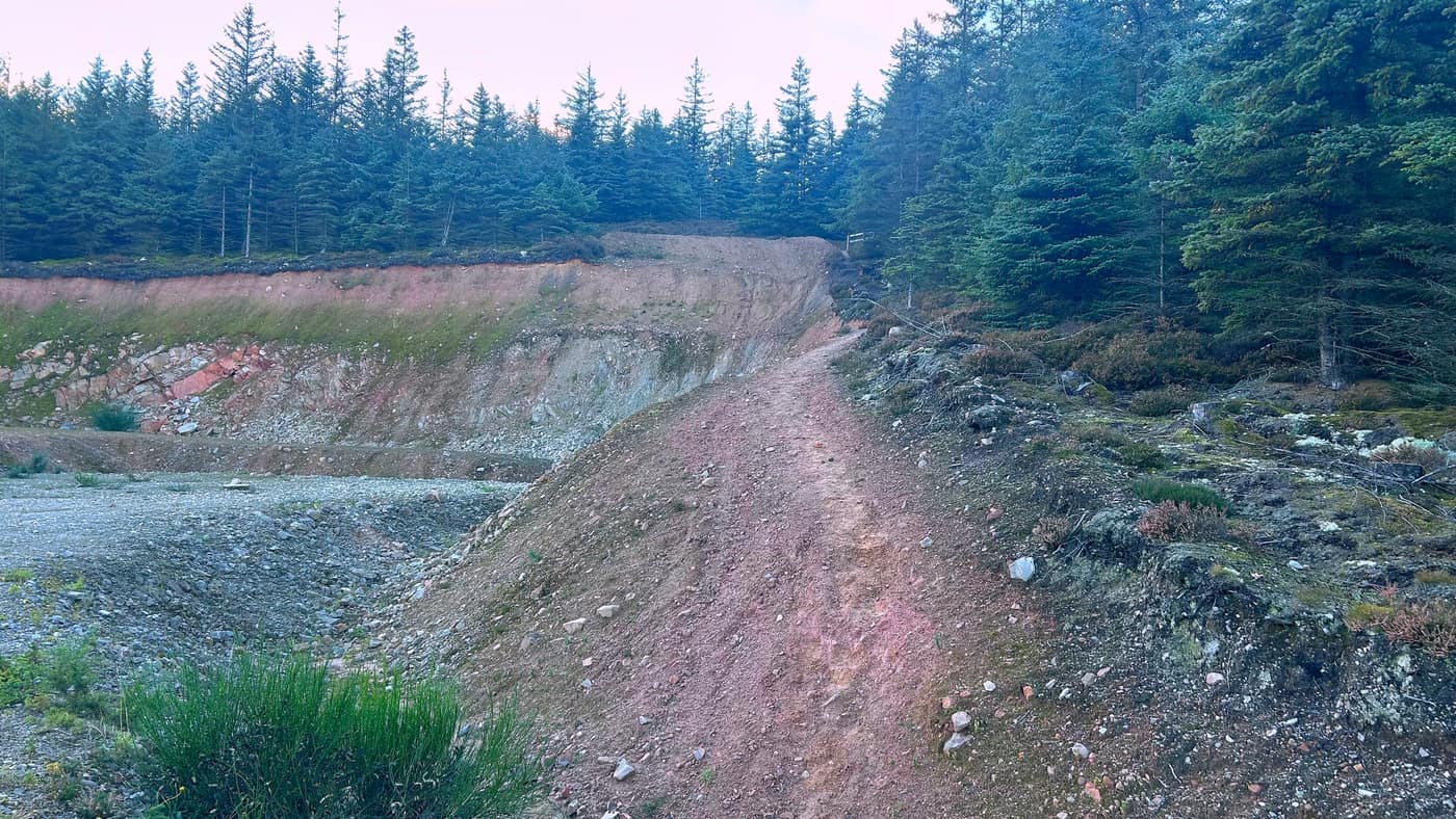
From the junction the track climbs — straight up, nothing to think about, the forest opening and closing either side as you go. Keep going until you come to the quarry, and you’ll know it when you’re in it: a big scoop out of the hillside, and the rock is pink. The path carries straight on up the middle of it.
Up the quarry path
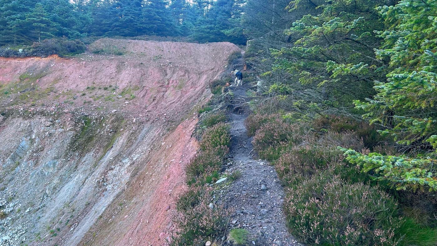
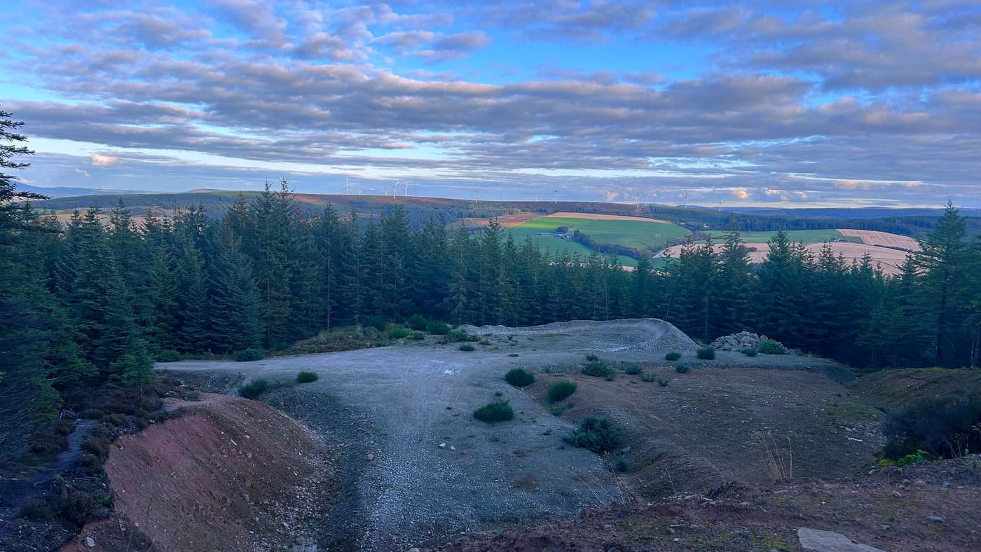
There’s a wee path that runs up the right-hand side of the quarry — head up here. The view’s already opening out behind you by the top of it: the windmills along the ridge one way and the farmland squared out below.
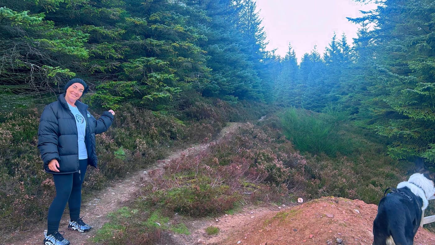
Now pay attention at the top of the path, because we didn’t. We took a left first time and it was taking us away from the hill — the map on the app’s walk tracker showed us as much, so we headed back and took the right option, which had us back on track. That wee detour cost us the best part of half an hour, so learn from us and go right.
To the final climb
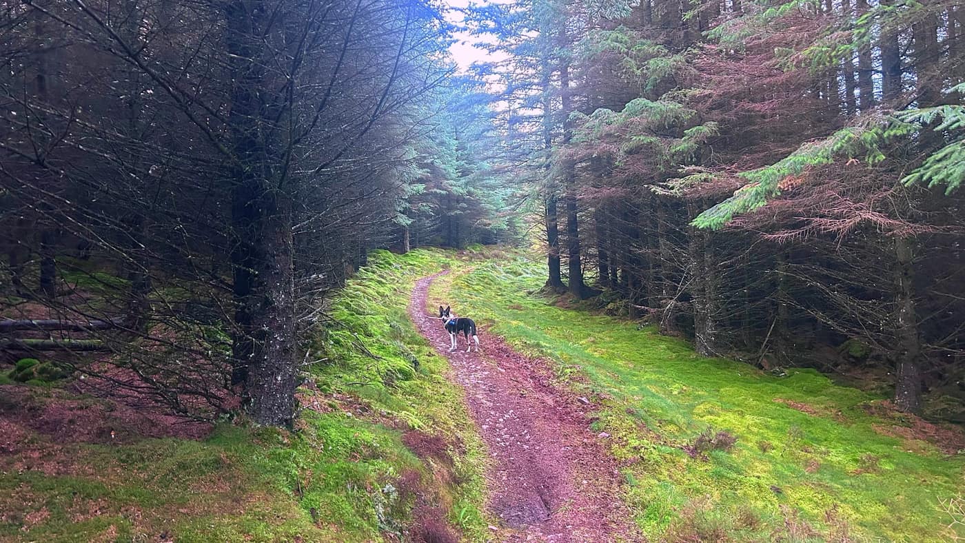
Keep going along the narrow path — mossy and close through the trees for a stretch — until you come to a junction. Turn left, and when you see the heather, turn right for the final climb to the top.
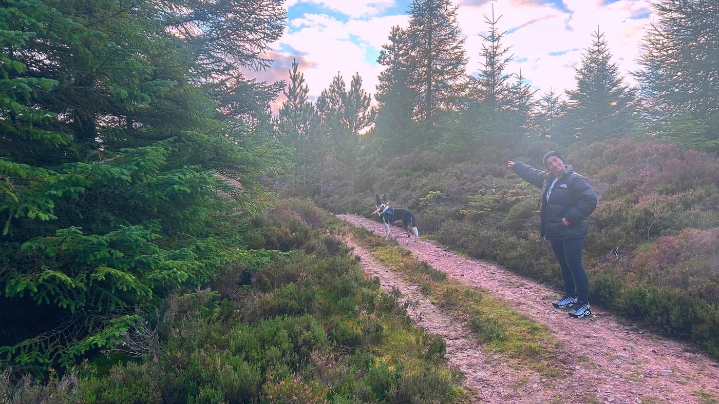
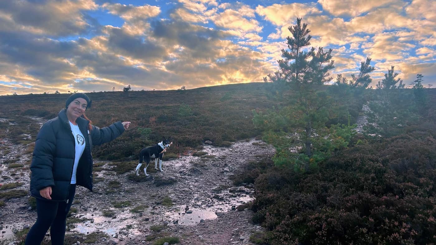
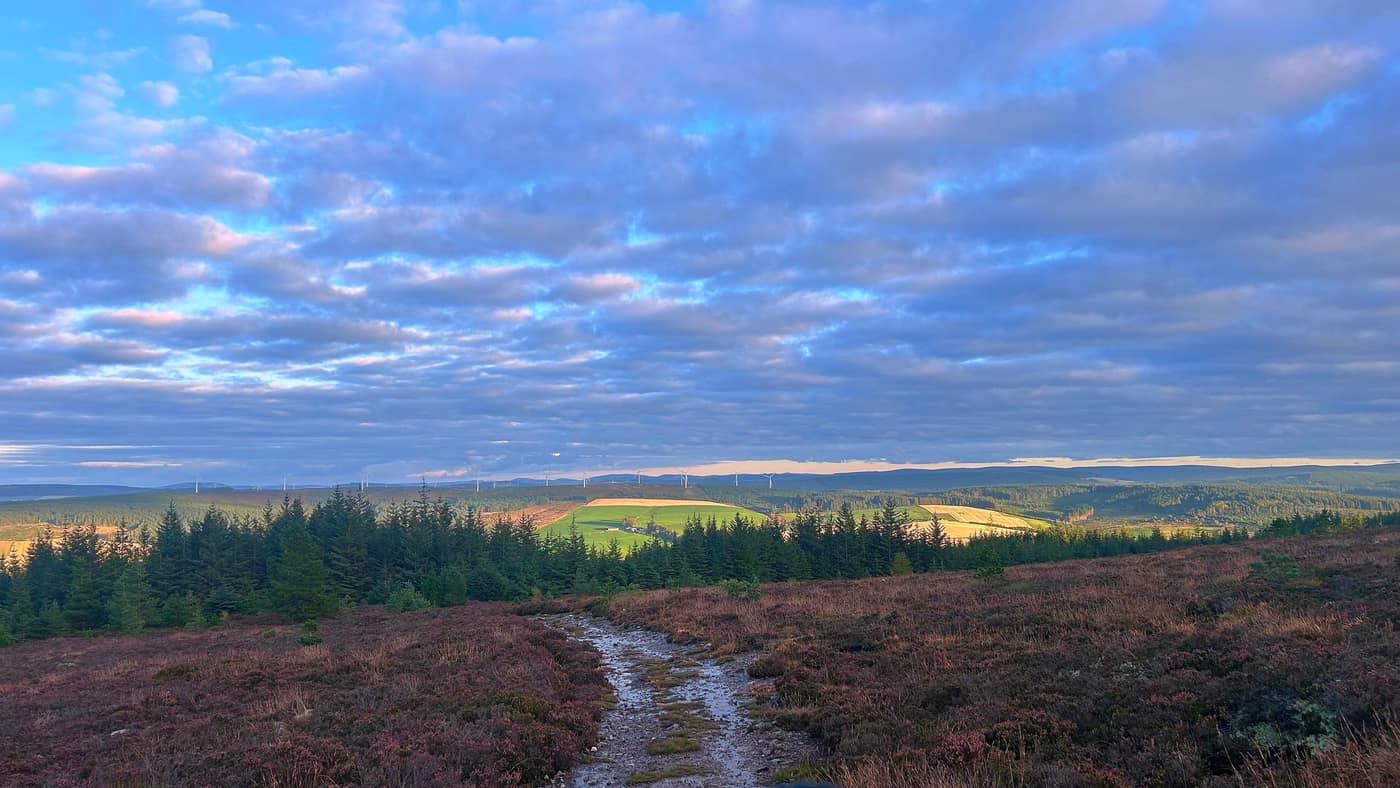
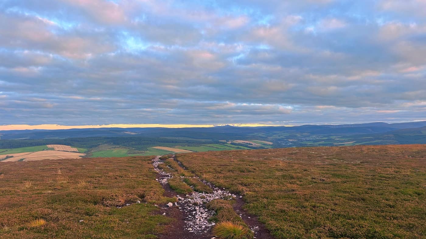
From there the trees fall away and it’s open hill the rest of the way, the path wet and stony through the heather. Katrina’s doing the pointing in the photos, so you’ve no excuse for going the way we went earlier.
The views on the way up
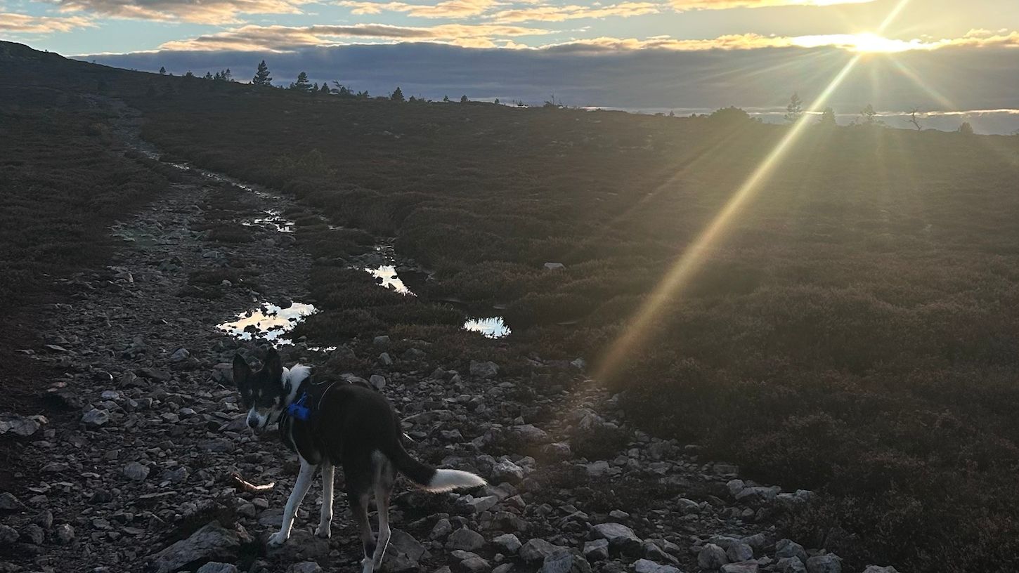
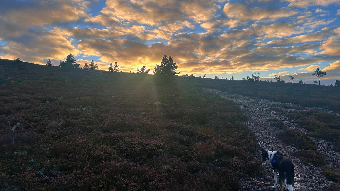
The views earn their place on this climb — the windmills along the ridge behind you, the last of the light on the fields below, and the sun sitting low over the hill in front. Plenty of reasons to stop and look back.
The top
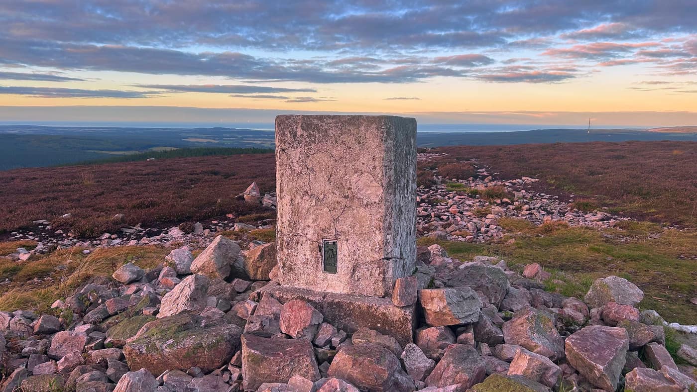
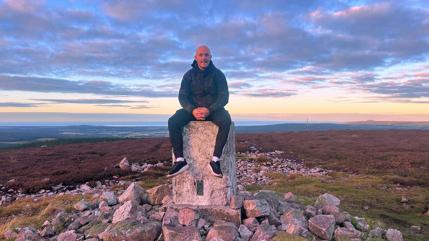
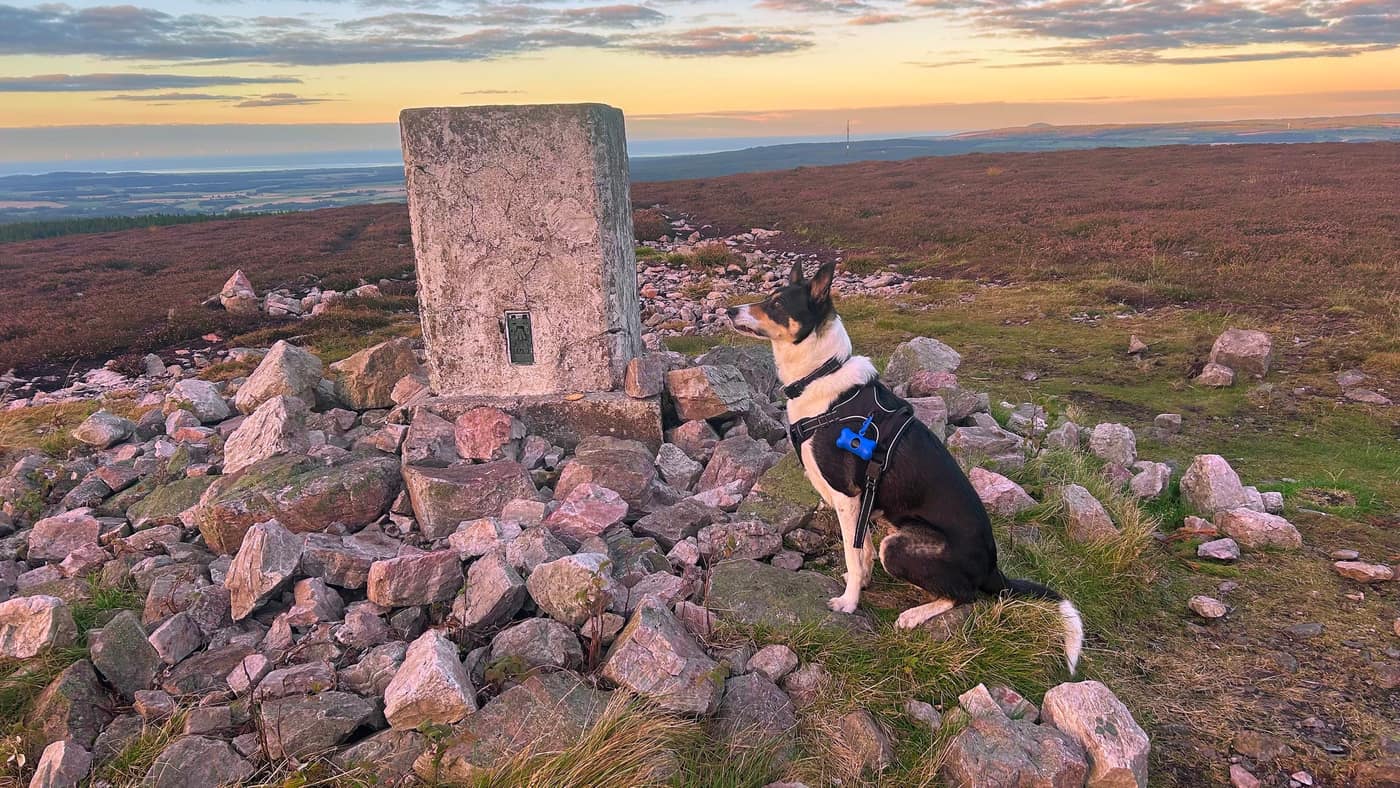
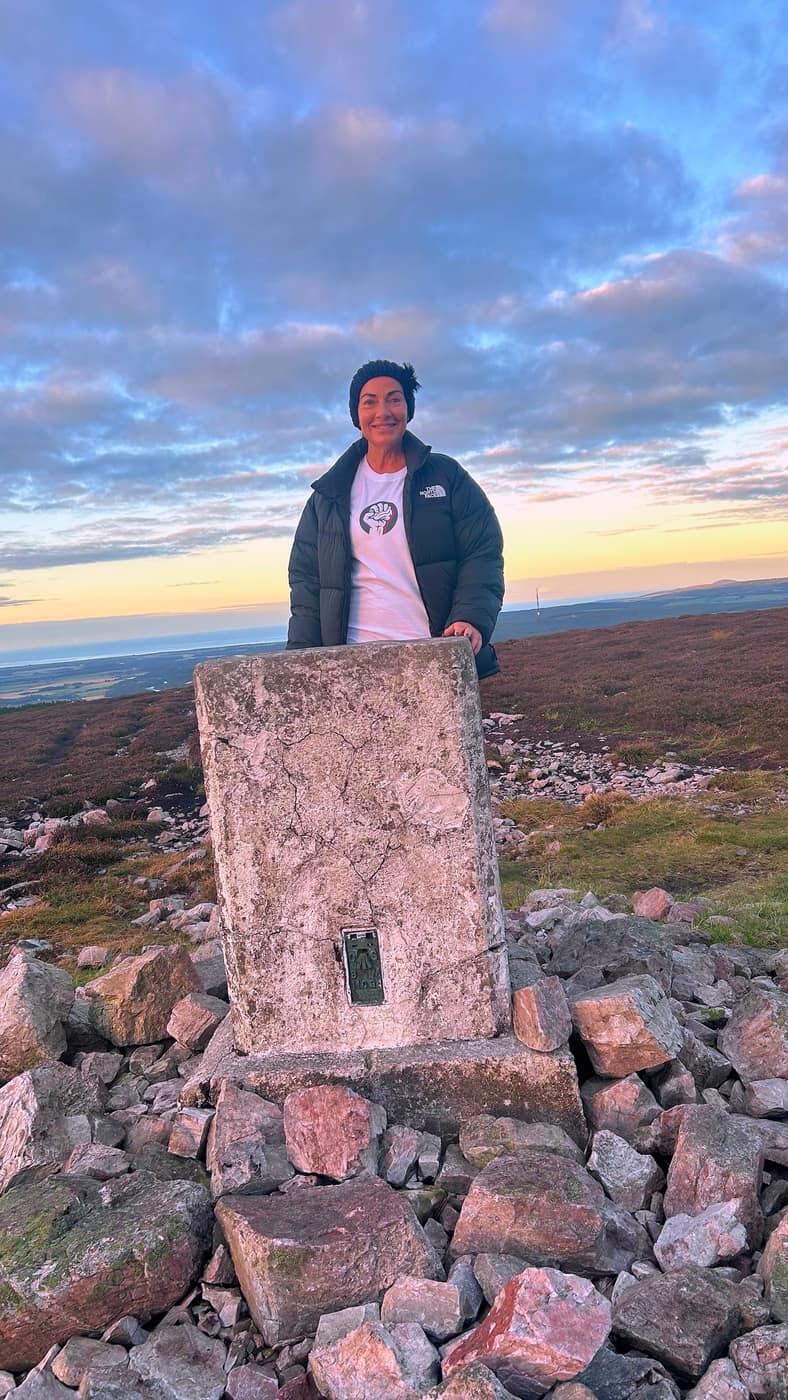
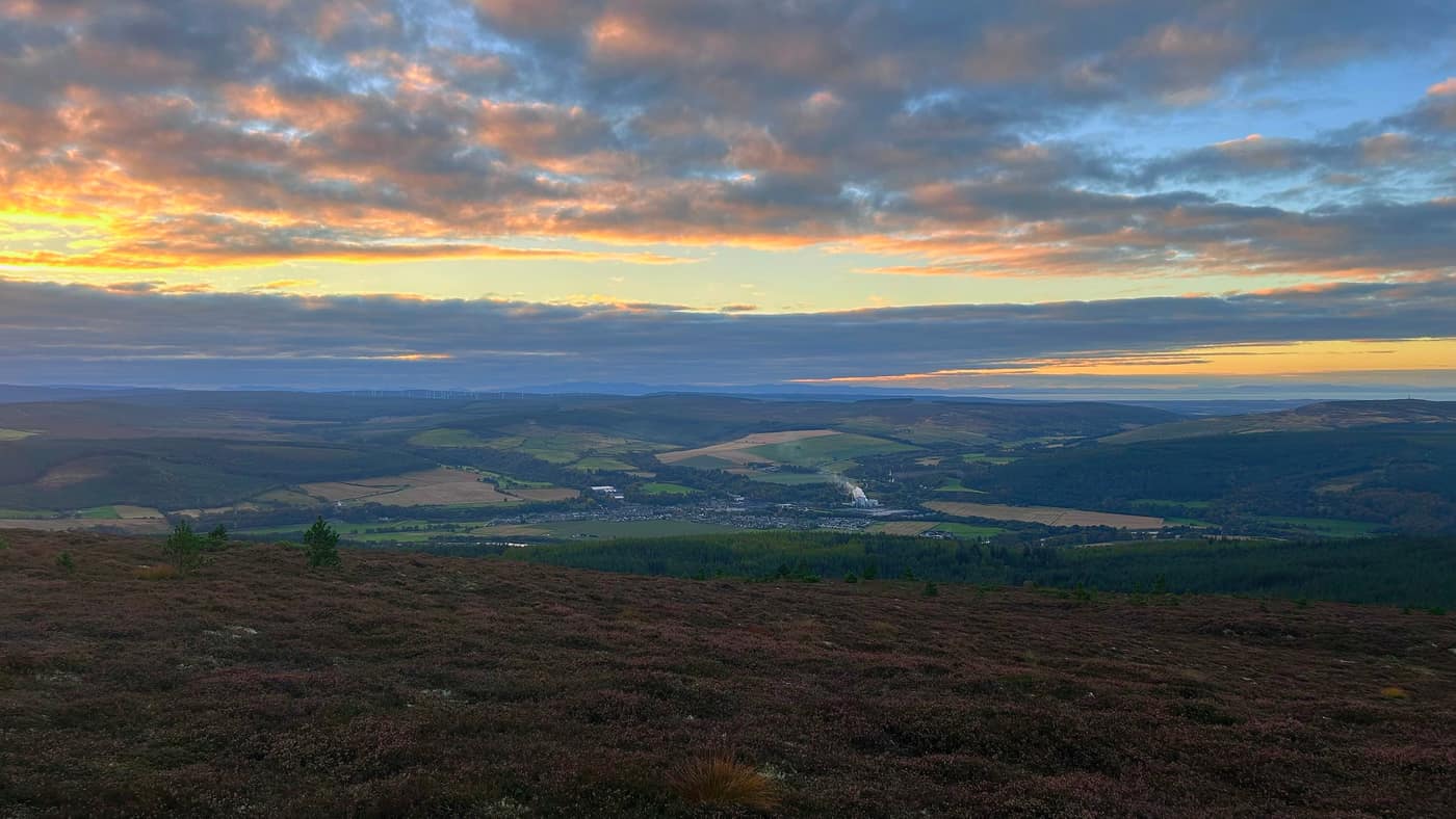
The trig point sits on a pile of the same pink stone as the quarry, and from it you get the lot — the Moray Firth laid out along the horizon, the coast, and the light going gold over the water. For a local hill of 471 metres, that’s no bad going.
Chase got his trig photo this time — no wind to bother him, a seat taken and the view properly looked at. I took the seat that was going on top of the trig, and Katrina got hers behind it.
The views
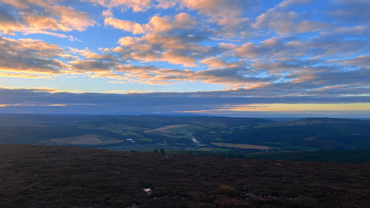
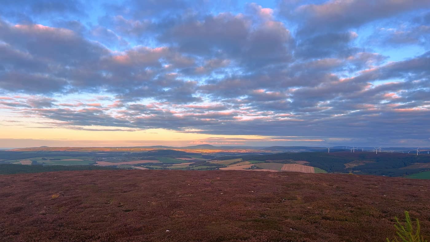
From the top you’re looking down on Rothes and the whisky country along the Spey, the distillery steam rising out of the middle of it. The Moray Firth is out along the horizon, and on an evening like ours you can see right across it to the hills on the far side. The windmills are away the other direction, and the light kept moving across the fields the whole time we were up there.
The big hill on the skyline is Ben Rinnes. I’ve been up that one twice — before the blog existed, so it’s ticked on the tracker but there’s no report for it yet.
The way back
We stopped about 15 minutes at the top, then headed back down the way we came. Same rule as always.
Worth knowing
It’s about 11 kilometres there and back, and the times through this post are our own pace — with the wrong turn taken off the total, so give yourself longer and don’t think twice about it. The tracks are shared with the mountain bikers, so keep an ear out behind you. The gate at the start is padlocked but you go round the side of it, and the paths above the quarry were wet and stony when we were there — nothing difficult, just watch your feet. And at the top of the quarry path, go right. The left looks just as likely, and it cost us half an hour.
The star
Two hills in two days — Mount Keen on the Saturday, Ben Aigan on the Sunday, and this one’s a lot closer to home. The star’s been on the map since August — now it’s got the report to go with it.
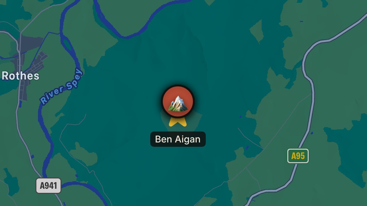
Take the tick list with you.