Bennachie (Mither Tap)
- Height
- 528 m
- Grade
- Average
- Round trip
- 1 hr 26 min
- Distance
- 5.09 km round trip
- Ascent
- 428 m
- Steps
- 6,372
- Start
- Bennachie Centre
- Region
- Aberdeenshire
Times are my own pace, with Chase.
Same rule as always before anything else: always go back down the way you came up. If you’re not sure of the ground, that’s the way you know.
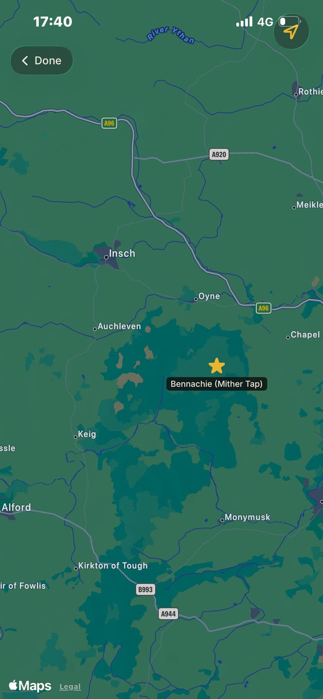
Bennachie sits above the Garioch in Aberdeenshire, and Mither Tap is the top with the old fort on it. The hill is 528 metres.
First thing I’ll say about this walk is that it wasn’t a day for views. The mist was down and it stayed down. So what I’ve got out of it is the directions and the climb, and that’s what this report is.
Getting parked
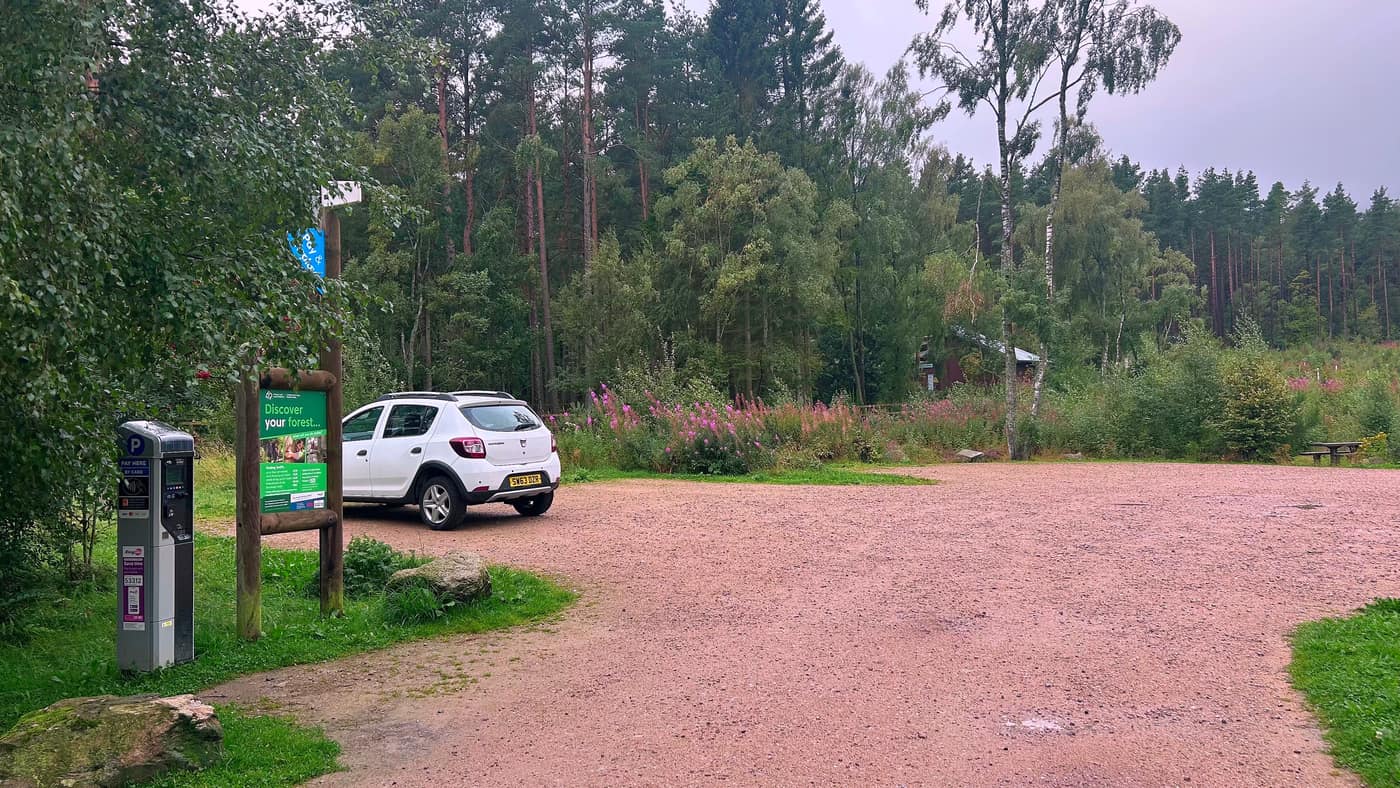
The app took me to the correct spot and there’s plenty of space to park the car at the Bennachie Centre. I paid a small fee of £3 for parking — there’s a machine at the edge of the car park that takes a card.
Getting started
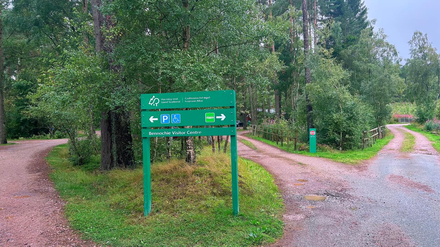
Getting started here was easy, and one thing I’ll say is it’s well signposted. By the centre you’ll find a map which gives you all the info you need. We took the path heading off to the left of the board.
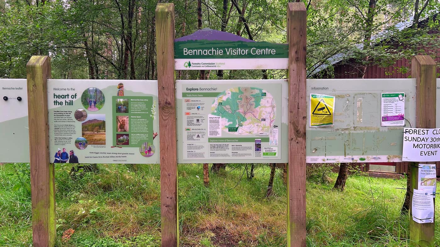
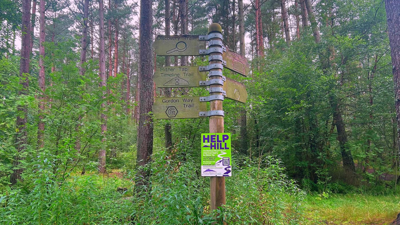
From here it was pretty straightforward and you just keep walking until the next sign. I just kept following the Mither Tap sign, but there are other options like wildlife trails, which I’m assuming would lead to the top eventually — that’s just a guess.
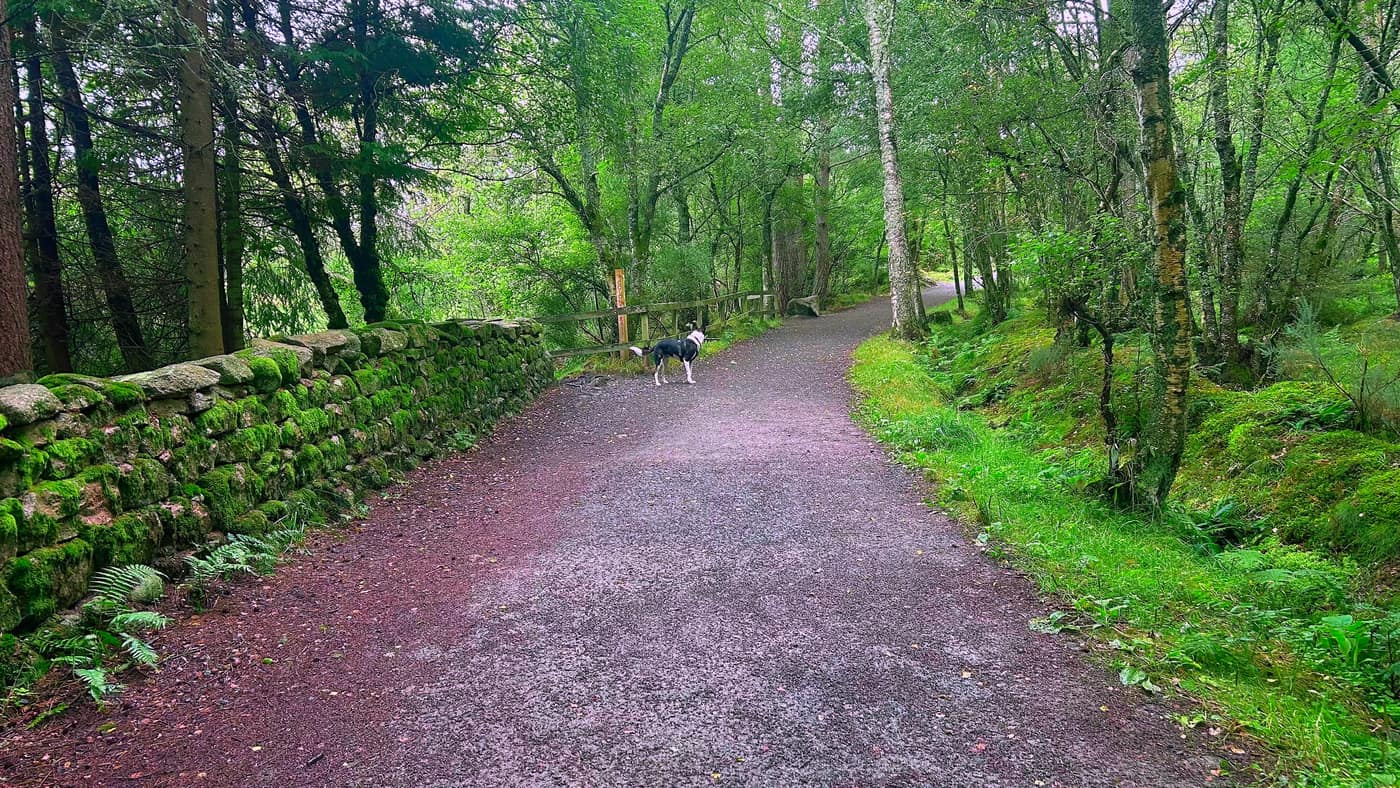
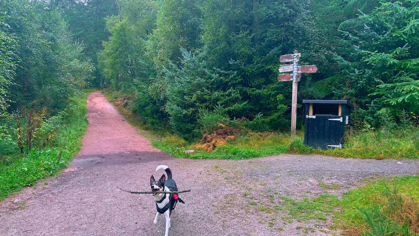
You’ll come across another three signs on your travels through beautiful woodland.
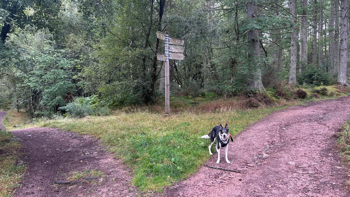
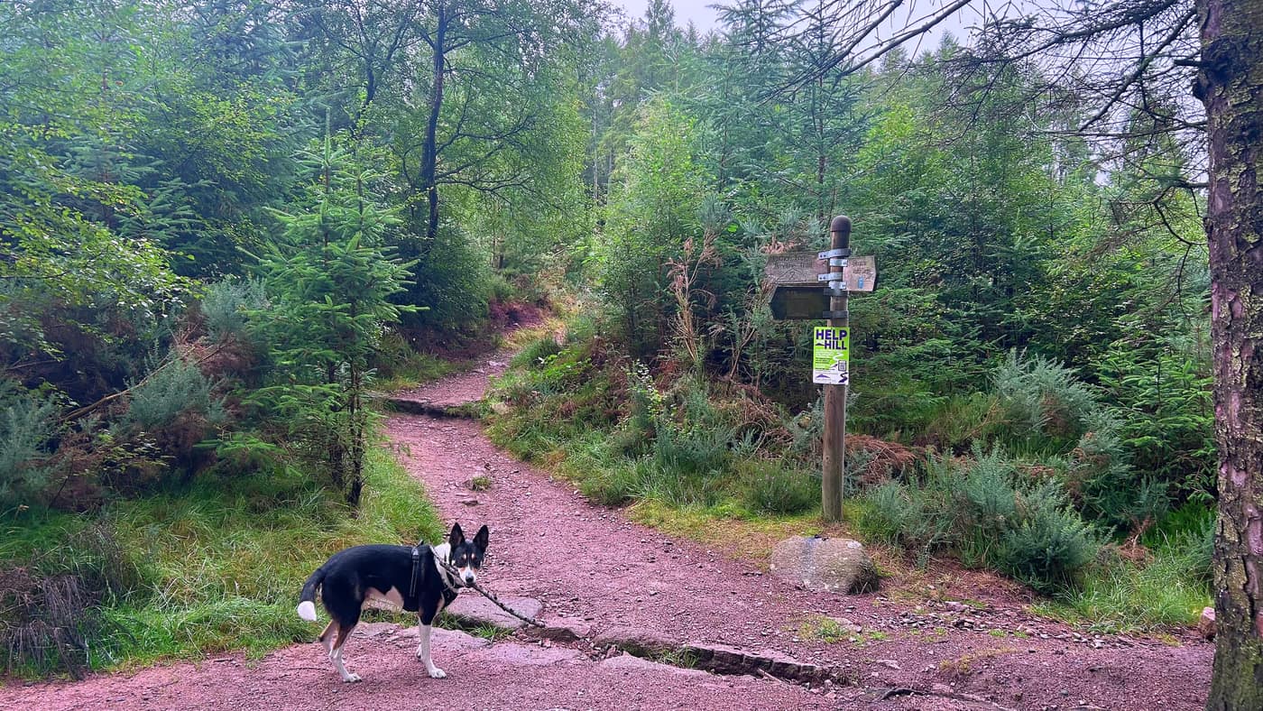
Where it steepens
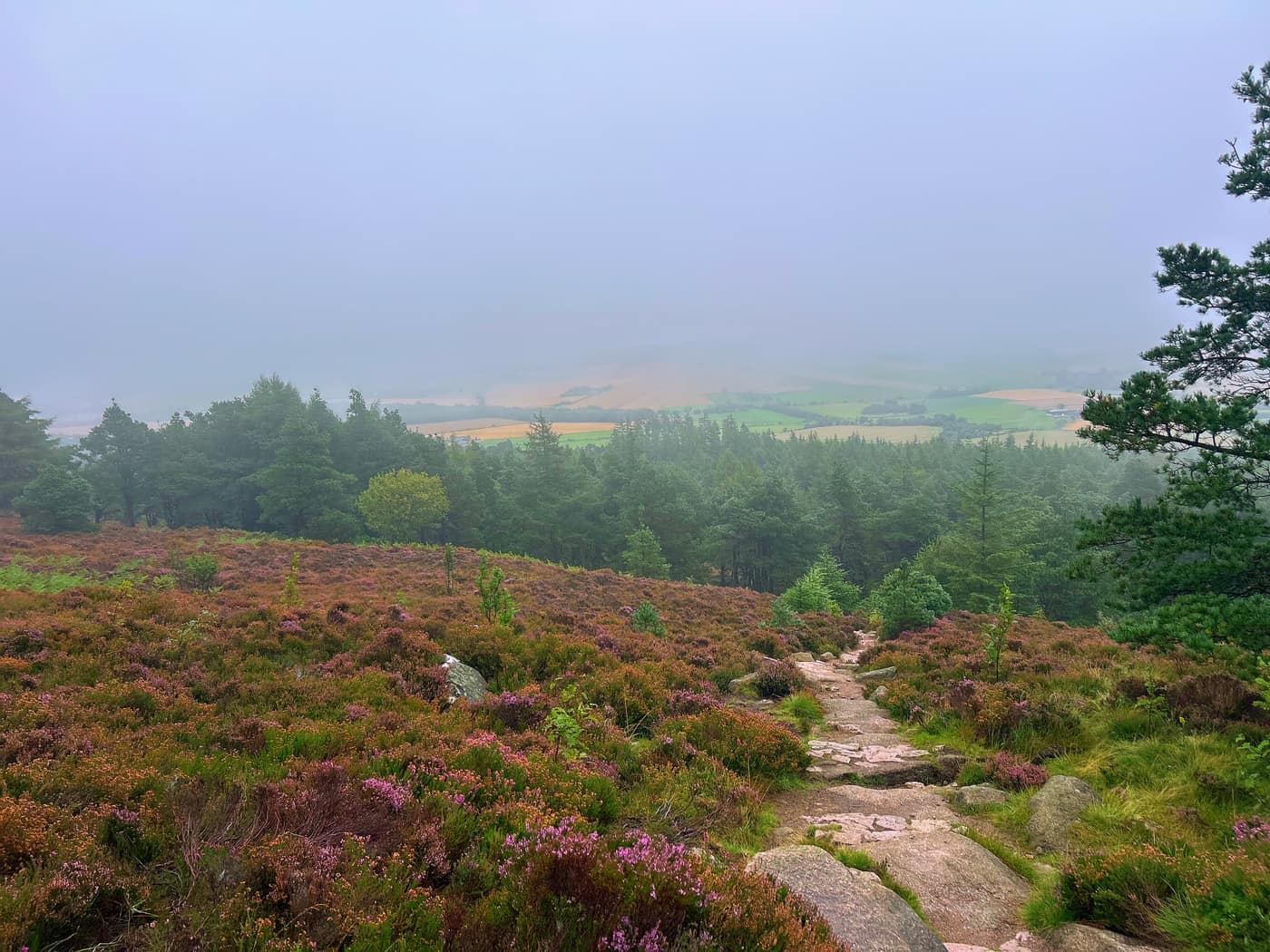
This is the part where the climb gets steeper. You climb up a wide rocky pathway from here, which is quite challenging for the beginner.
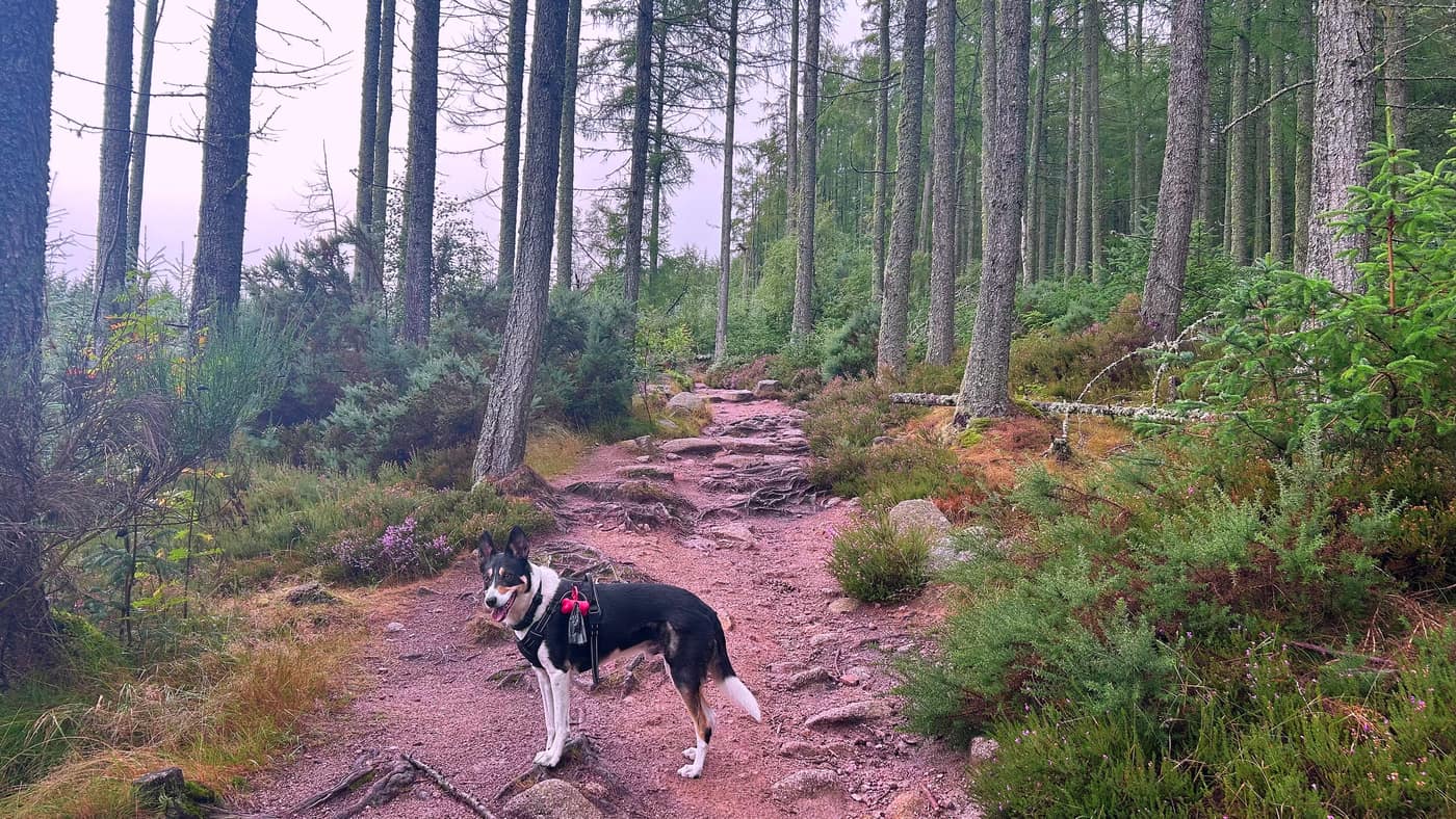
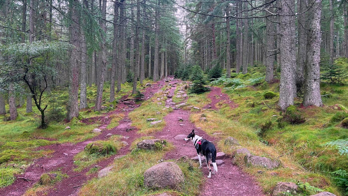
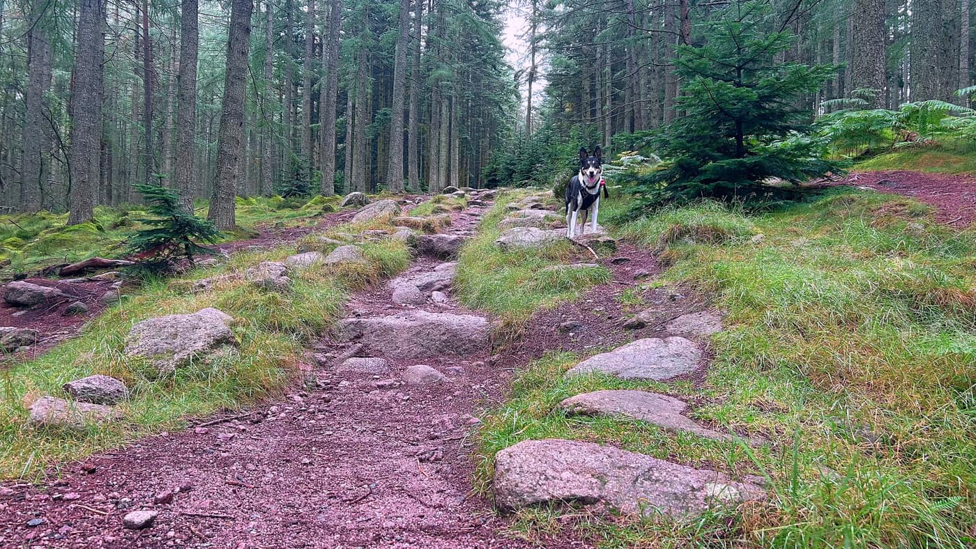
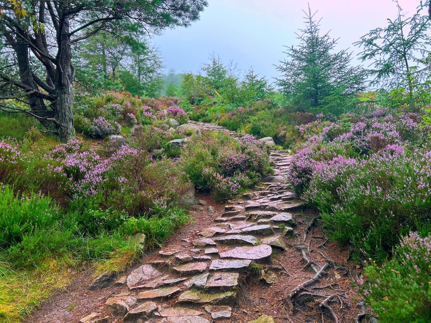
Then it goes narrow, and that’s the steepest climb of the walk — stone steps built into the heather, which was out purple the whole way up. You follow this path all the way to the top.
That stretch is also where I got the only landscape view of the whole walk, and it didn’t last. Fields and forestry below with the mist sitting on top of them.
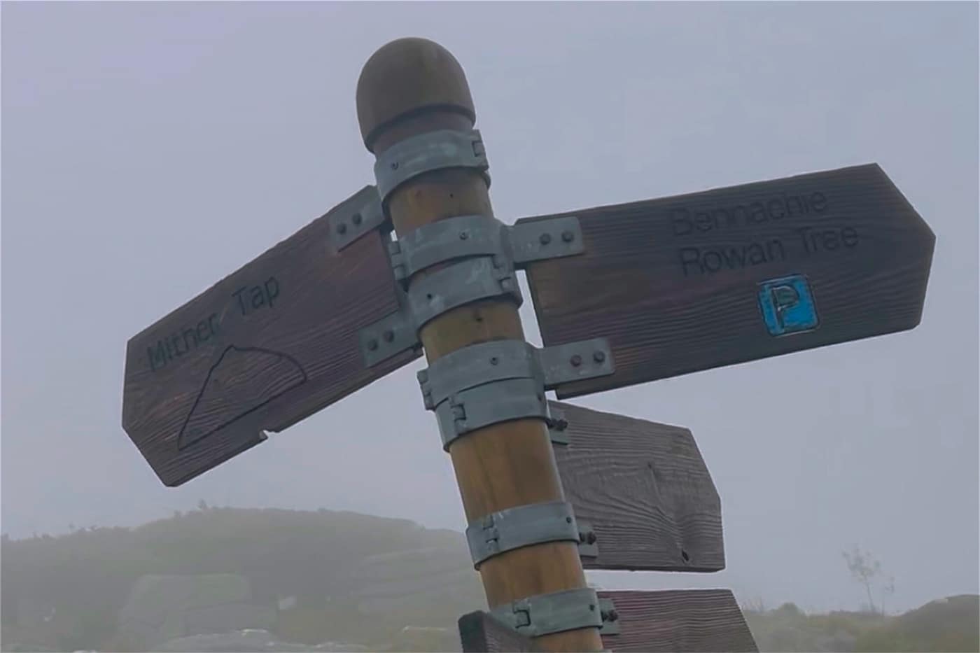
At the top of that path there’s another sign showing the different routes that get you to that point — Mither Tap one way, Bennachie and the Rowan Tree car park the other.
The top
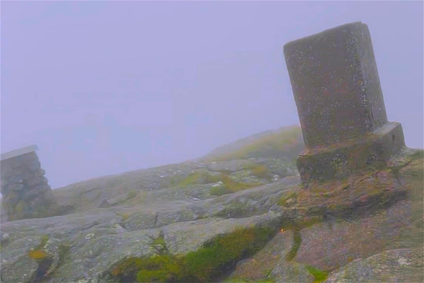
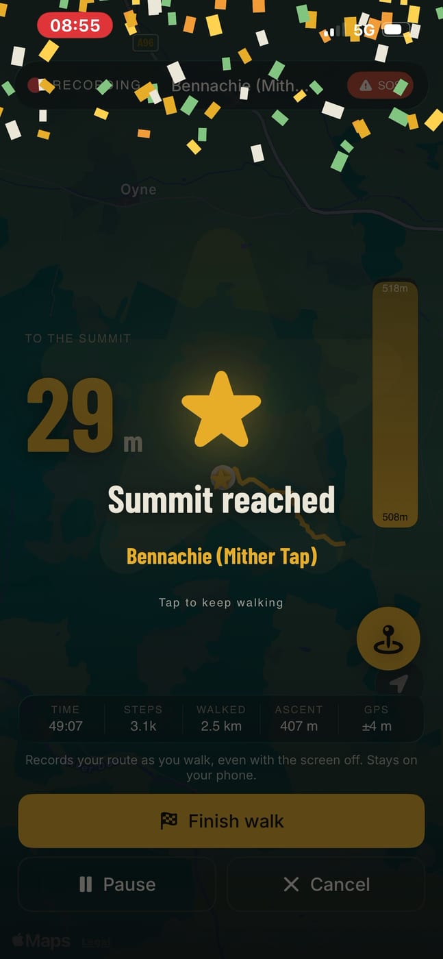
And finally we reached the top. As you can tell, the view in the background was non-existent due to the mist.
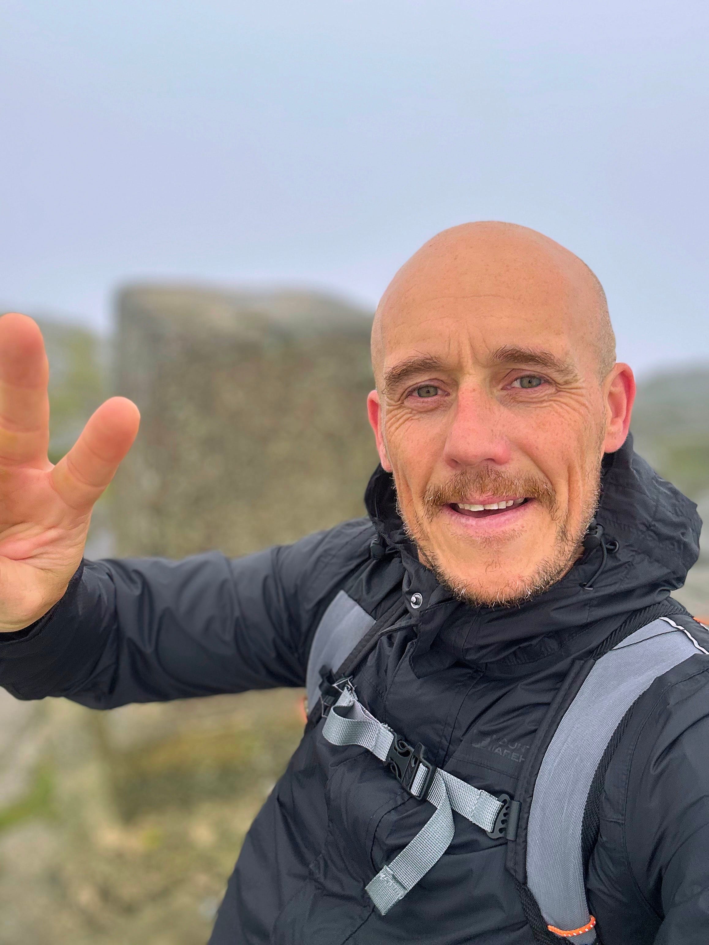
Chase never appeared in the summit photo this time. He’s in every other picture on this page — front and centre, stick in his mouth half of them. Then we got to the top and he was away somewhere else entirely.
I’ll revisit this hill to get some scenery views in future. But for now it’s another star marked on the map.
Take the tick list with you.