The Bin of Cullen
- Height
- 320 m
- Grade
- Beginner
- Region
- Moray
The Bin of Cullen is not a Munro. It’s not a Corbett or a Graham either. At around 320 metres it doesn’t trouble any of the national lists, and nobody is ever going to write a guidebook about it.
It’s also one of the best mornings you can have in Moray.
The hill sits behind Cullen, a lump of forested ground between the coast and the whisky country. Get the timing right and it gives you a view you’d drive a long way for.
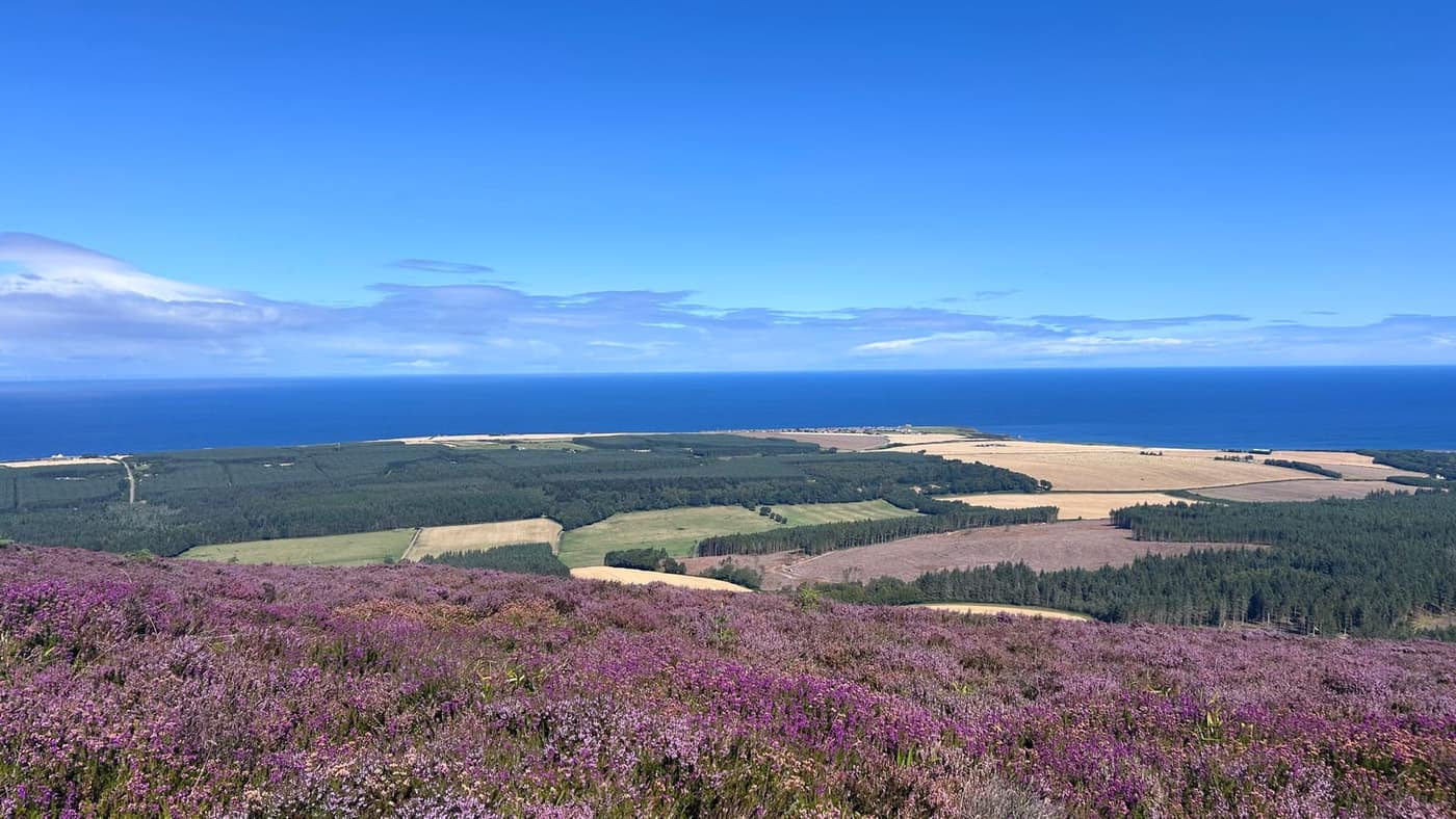
I got the timing right. Mid-August, the heather out in full colour, and one of those days the Moray coast produces about six times a year — blue sky with a few thin streaks of cirrus, and a Firth so flat and blue it could be somewhere warmer.
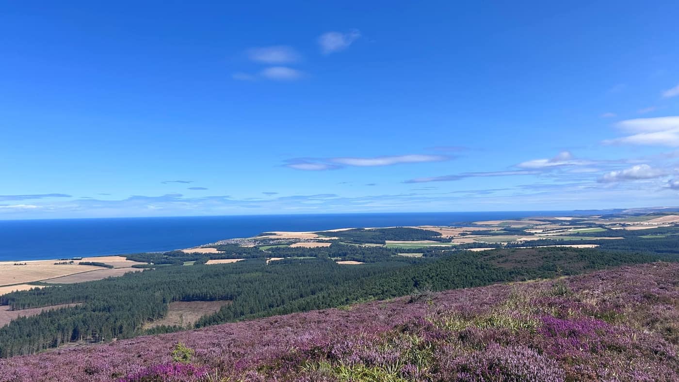
From the top the whole coast lays itself out below you. Dark blocks of forestry, stubble fields gone gold with the harvest in, and Cullen sitting out on its headland with the sea wrapped round three sides of it. On the horizon, the offshore turbines, just about visible.
Getting there
I picked the hill in the app and it took me straight to the forestry car park. Not the summit — the car park. That distinction matters more than it sounds. Plenty of apps will happily point your sat-nav at a spot halfway up a hill with no road to it.
It’s a hardcore parking area off the forest road, room for about half a dozen cars, level and well drained. There were two cars in when I arrived and space for plenty more. A metal gate marks where the track starts, with the usual forestry signs beside it — fire risk, keep dogs under control, that sort of thing.
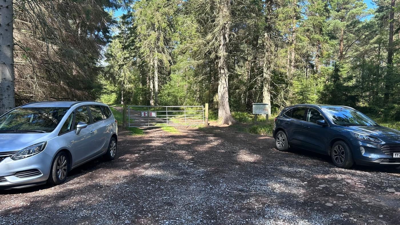
Walk round the gate and you’re on the track. No hunting about for the start, which is a pleasant change.
I had Chase with me, which meant the pace was set by him rather than by me — nose down, back and forth, twice the distance I walked.
The walk
From the gate it’s straightforward. A wide gravel track through the trees, climbing gently, dry underfoot and easy going. The sort of walking where you can look about you rather than watch your feet.
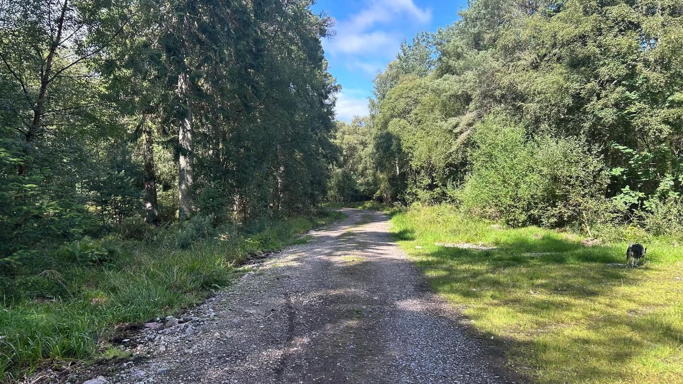
Five or ten minutes in you hit the first decision. The track opens out into a junction: straight on, or left.
I went straight on. It felt like the obvious line — the track carries on ahead, wide and confident, and there’s nothing to tell you otherwise. Then I checked the app and watched myself walking steadily away from the summit. Turned round, came back, took the left instead. That was the right one.
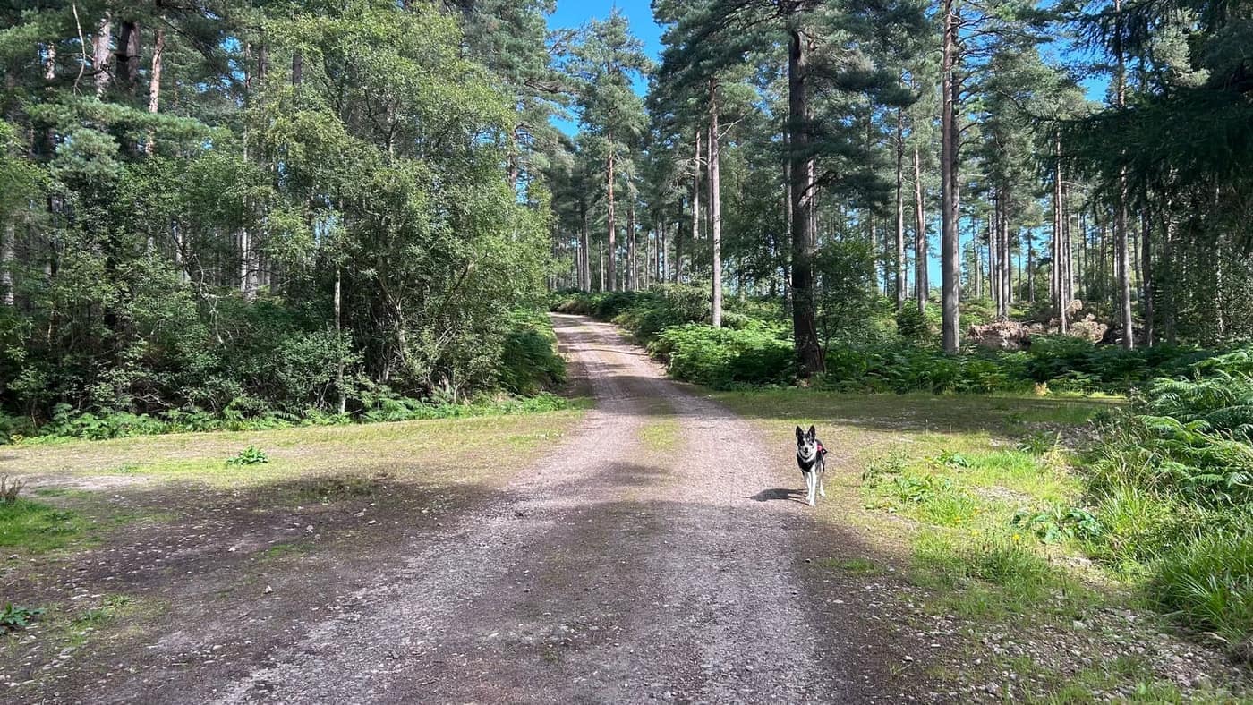
No harm done, ten minutes lost, and a decent lesson in why the map on your phone is worth a glance before you commit rather than after. If you’re heading up, take the left here.
The character changes once you’re on it. The wide forest road becomes a proper path, bracken shoulder-high on both sides, tall pines above. Narrower, greener, and it starts to feel like you’re going somewhere rather than just walking through a plantation.
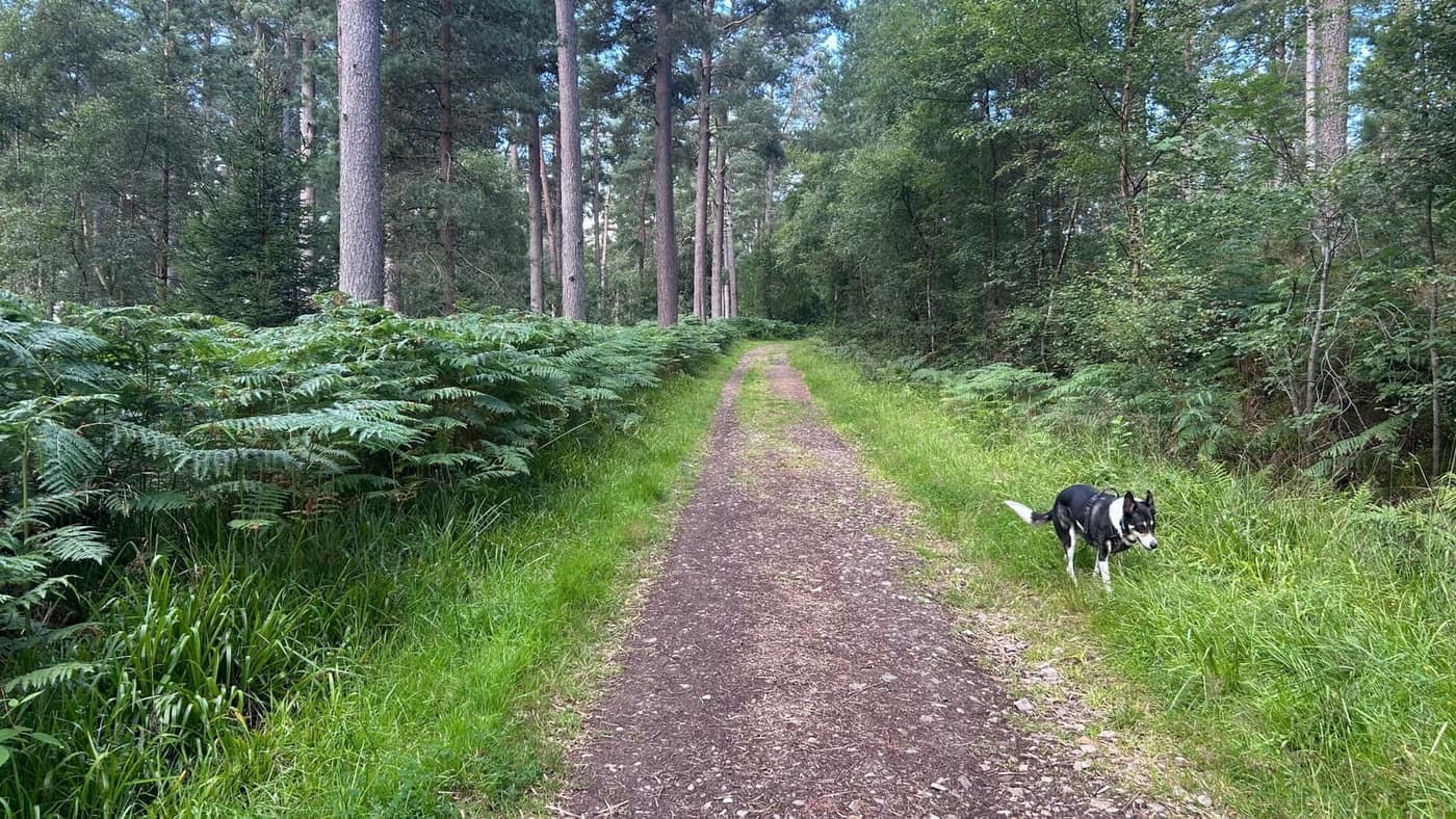
It’s a steady climb from there, rising gently through the trees. About ten minutes on, a second junction — and the same answer. Left again.
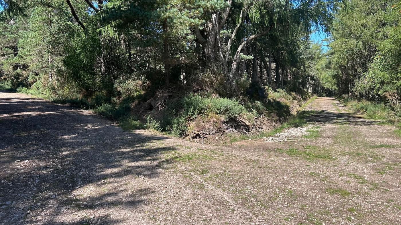
I’ve no idea where straight on goes. I didn’t find out. I had a gold star sitting on the summit in the app and I walked towards it.
From there it’s a steady climb all the way, the path winding up through heather and scattered Scots pine. Stonier underfoot than the forest road — loose rock in places — but never anything you’d call difficult.
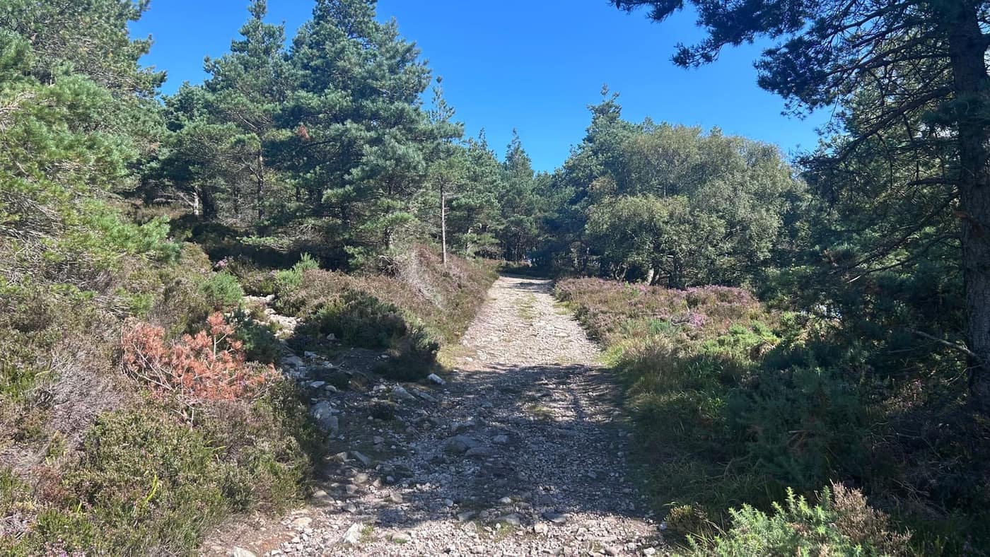
And this is where the Bin earns itself. The trees open up and the views start arriving long before the summit does. North, the forestry drops away to the fields and the coast, Cullen sitting out on its headland with the Firth beyond it and the far shore just visible under the cloud.
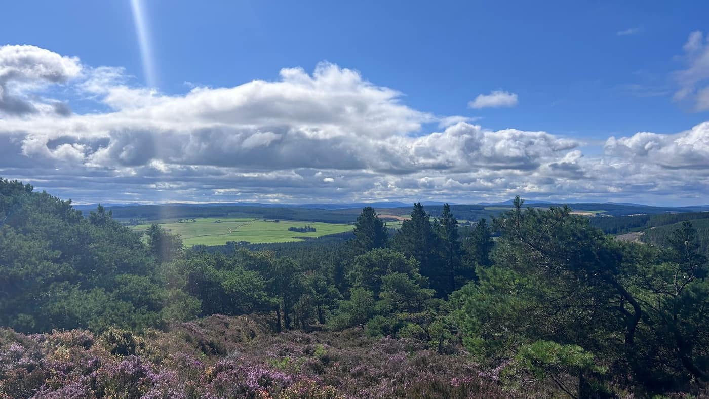
Turn round and it’s a different country. South, over green fields and more forestry, the ground rolls away towards the whisky country and the hills beyond.
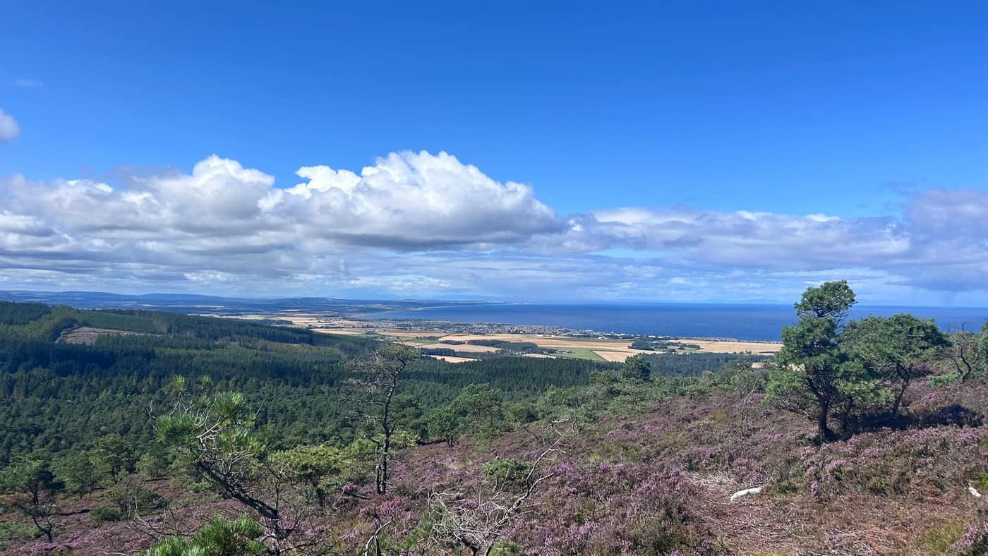
You get the sea one way and the hills the other. For a hill of 320 metres that’s a fair return.
One last pull and you’re there. The path climbs out of the trees altogether and runs up through open heather to the crown of the hill — stony, straightforward, and short enough that you can see the end of it from the bottom.
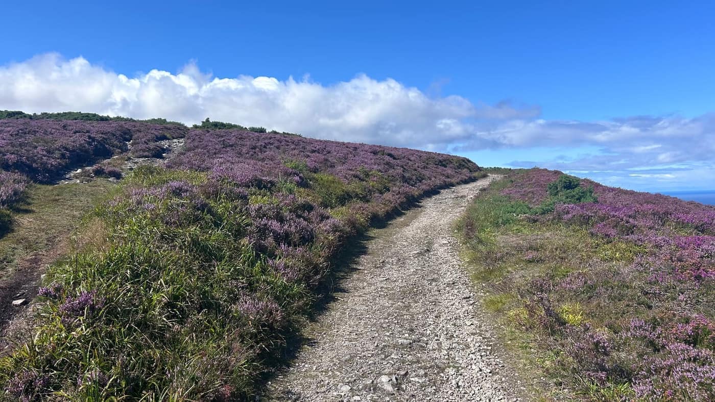
At the top
A little over half an hour from the car to the top, wrong turn included. I walk quickly, mind — if you’re just starting out, give it the guts of an hour and don’t rush it. It’s not a race and the view isn’t going anywhere.
And it is a view. Heather to the edge of the hill, then the forestry, the harvest fields, Cullen on the coast, and the Firth going on until it runs out. On a day like this you can follow the shoreline for miles in both directions.
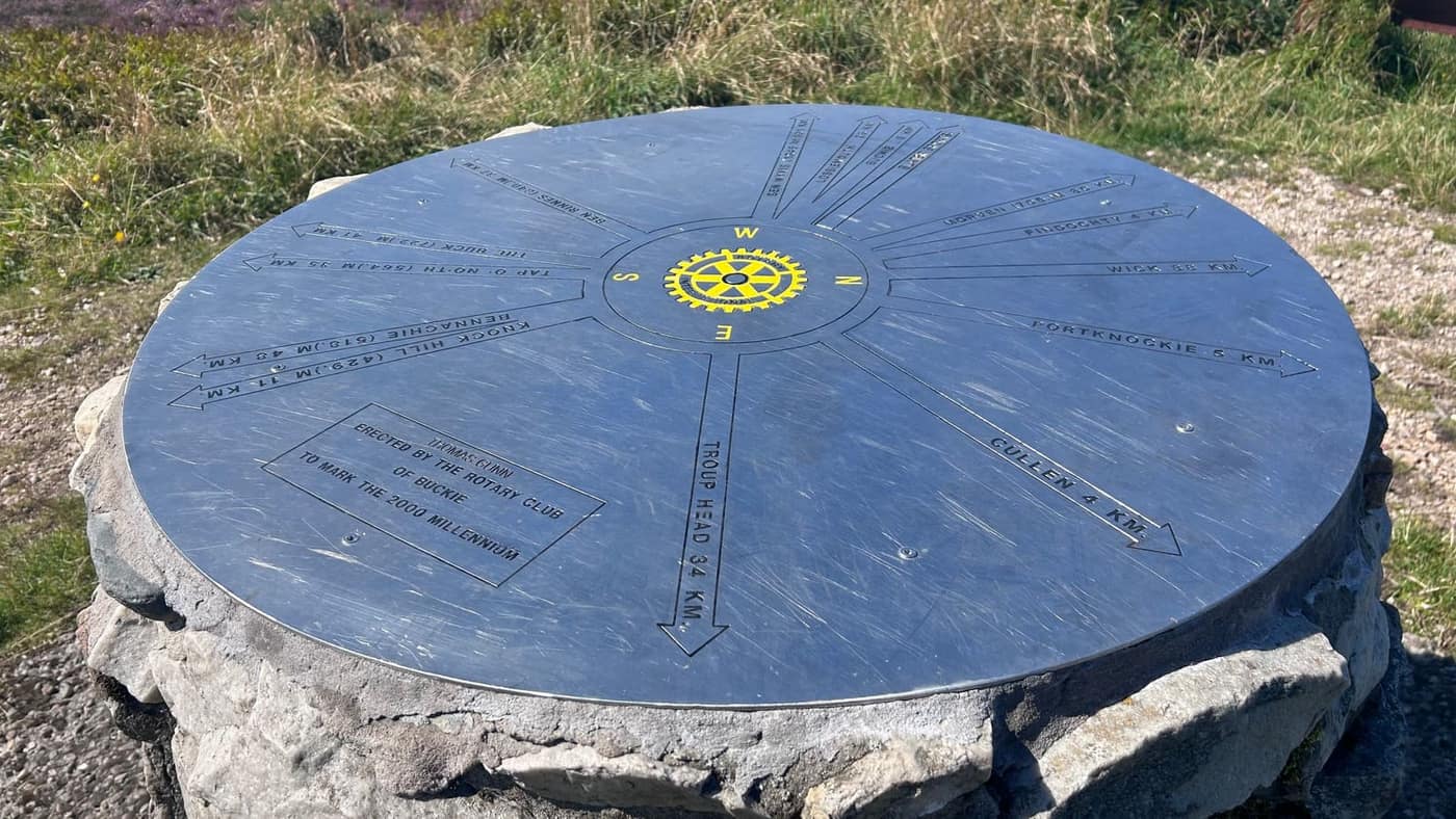
There’s a thing up here I didn’t know the name of. A metal disc set on a stone plinth, with arrows fanning out across it pointing at every hill and town you might be squinting at, each with its distance. I’ve since been told it’s called a toposcope. I should probably do my homework before writing these things.
Whatever it’s called, the Rotary Club of Buckie put it there to mark the millennium in 2000.
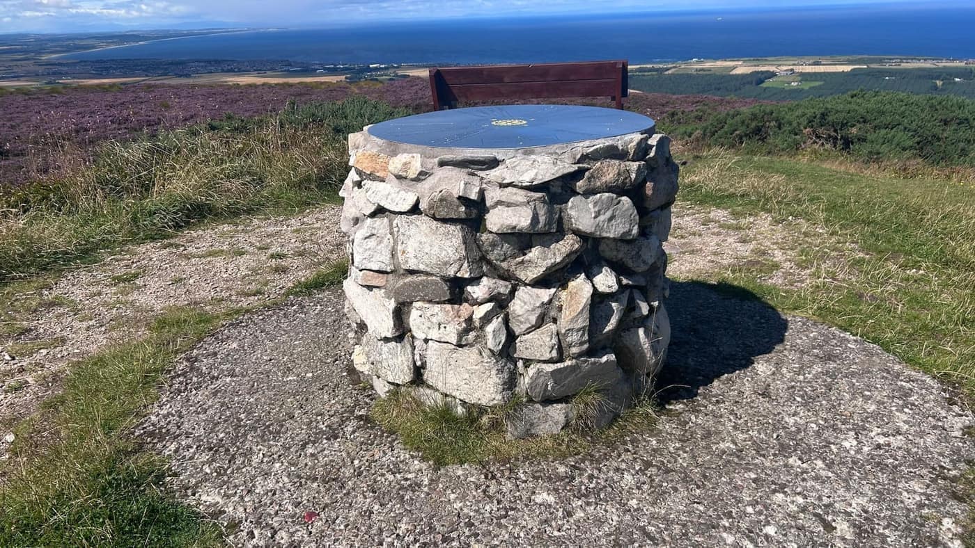
It’s worth a proper read. Cullen four kilometres away, Portknockie five, Findochty just along from that. Then it starts reaching: Troup Head at 34, Ben Rinnes at 47, Bennachie away to the south-east, Ben Wyvis at 90 kilometres across the Firth, and Wick at 88. Standing on a 320-metre hill above a forestry car park, looking at an arrow pointing at Caithness.
Someone has also put a couple of benches up there, which is a small kindness and exactly what the top of this hill needed. Sit down, get your flask out, and let the coast do the work.
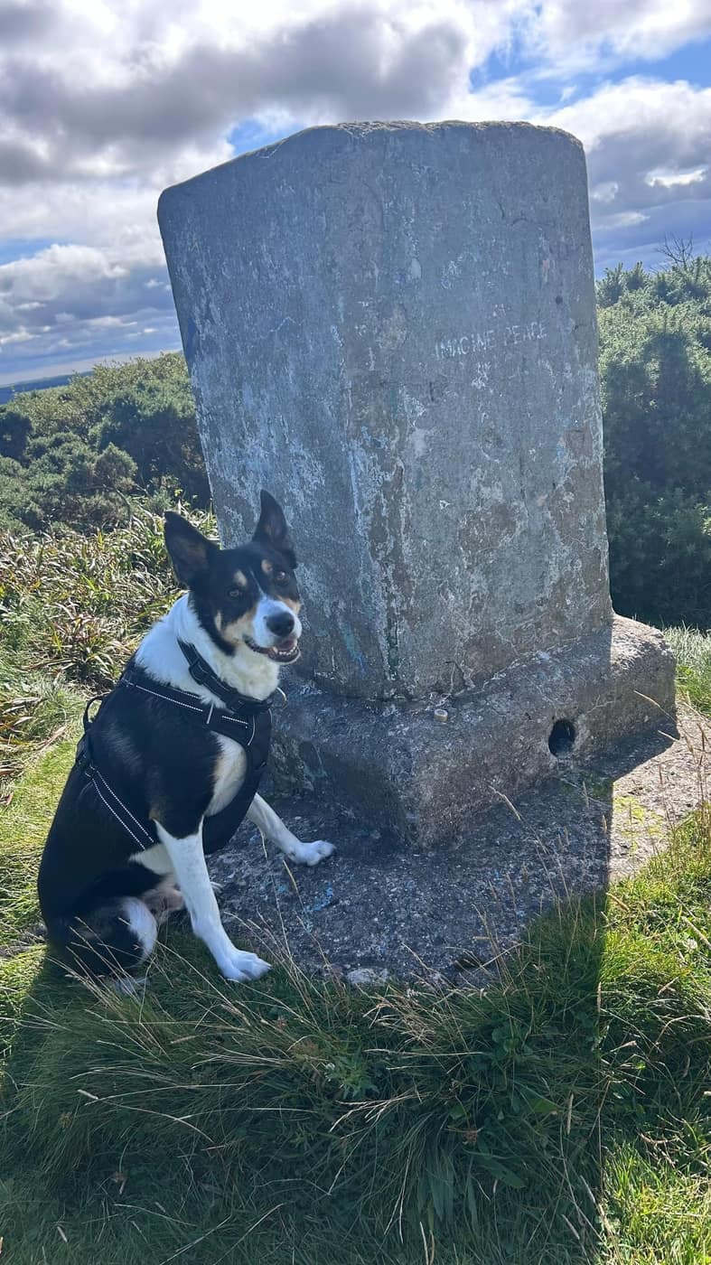
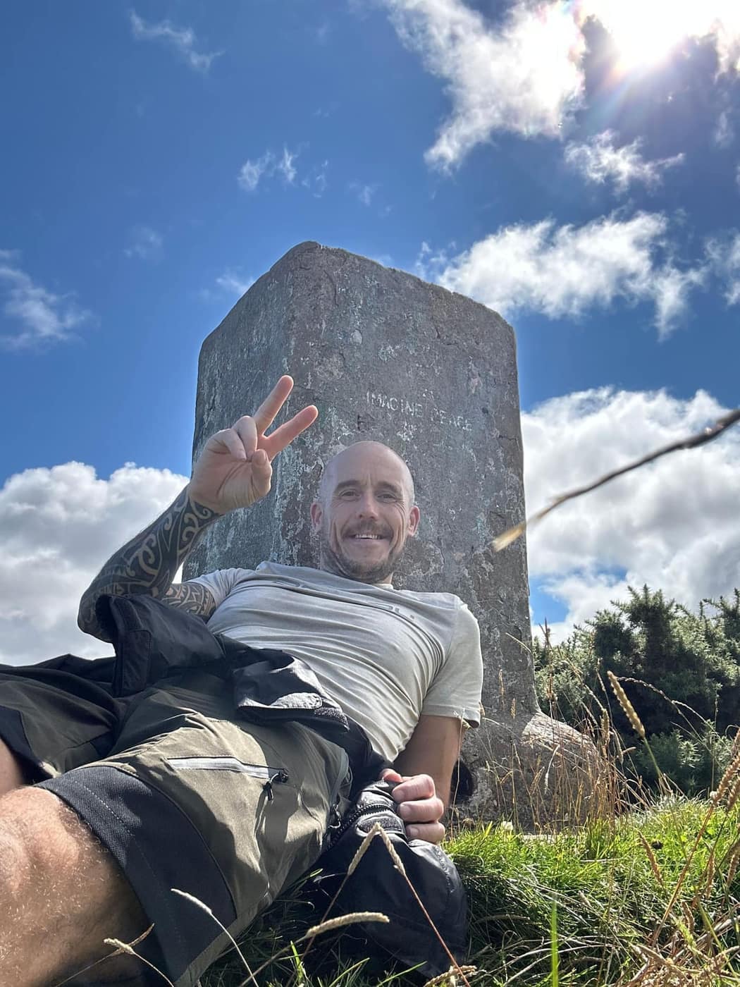
The trig point is a little further on — a squat granite pillar, weathered and lichened, with IMAGINE PEACE picked out across the face of it. Fair enough. On a morning like that one it isn’t hard.
Chase parked himself against it and waited. He knows the routine by now: smile first, bud, then the treat. He held the pose. He got the treat.
Then back down the way we came — left turns become right turns, and this time I got them right first go.
Worth knowing
This is a proper beginner’s hill and I’d send anyone up it. Clear tracks, short enough to fit round a morning, and a view at the end that punches well above its 320 metres. Good boots are enough — no navigation headaches, no exposure, nothing to catch you out in decent weather.
Two honest caveats. The forest tracks all look the same on the way down, so pay attention to the junctions on the way up. And the summit is more exposed than the sheltered climb suggests — take a windproof even when the car park feels mild.
Take the tick list with you.