Clachnaben
- Height
- 589 m
- Grade
- Average
- Round trip
- 2 hr 16 min recorded
- Distance
- 9.92 km recorded
- Ascent
- 616 m recorded
- Steps
- 12,196
- Start
- Glen Dye car park
- Region
- Aberdeenshire
Times are my own pace, with Chase.
Same rule as always before anything else: always go back down the way you came up. If you’re not sure of the ground, that’s the way you know.
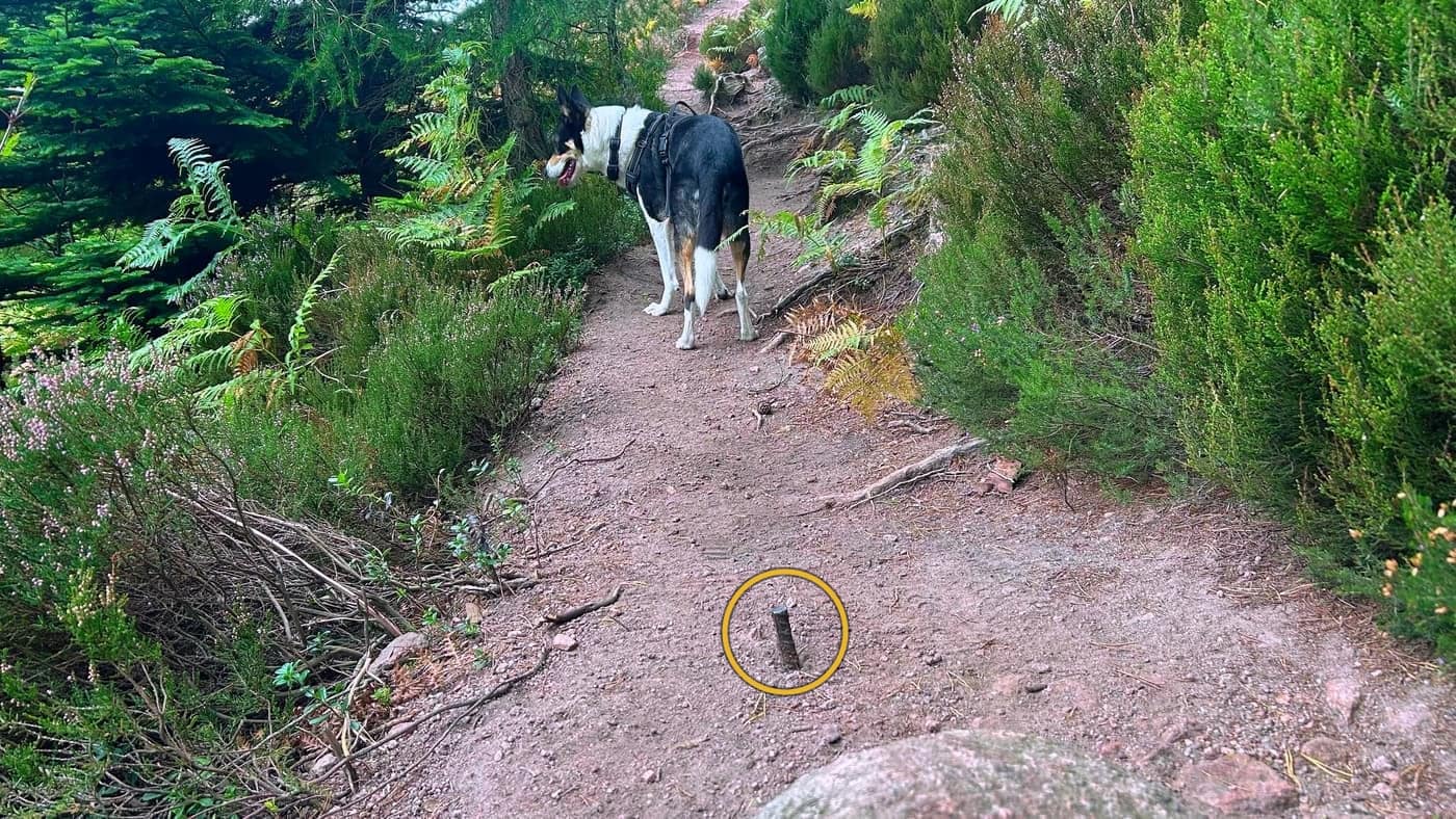
A warning for this one: above the trees there are small pieces of metal sticking out of the ground. There’s a few of them, and it lasts for a couple of minutes of walking. Easily avoided when you spot them — but if you’re running, or jumping over sections of the path, this could easily turn into a sore foot.
Clachnaben is a Graham of 589 metres in Aberdeenshire, south of Banchory. It’s the one with the huge granite tor on top, which you can see from the road for miles around on a good day. I saw none of it. The mist came in about two thirds of the way up and stayed.
Getting parked
The app did its job fairly accurately, although I did drive past the car park and had to make a U-turn. It’s easy enough to find, and there’s plenty of space.
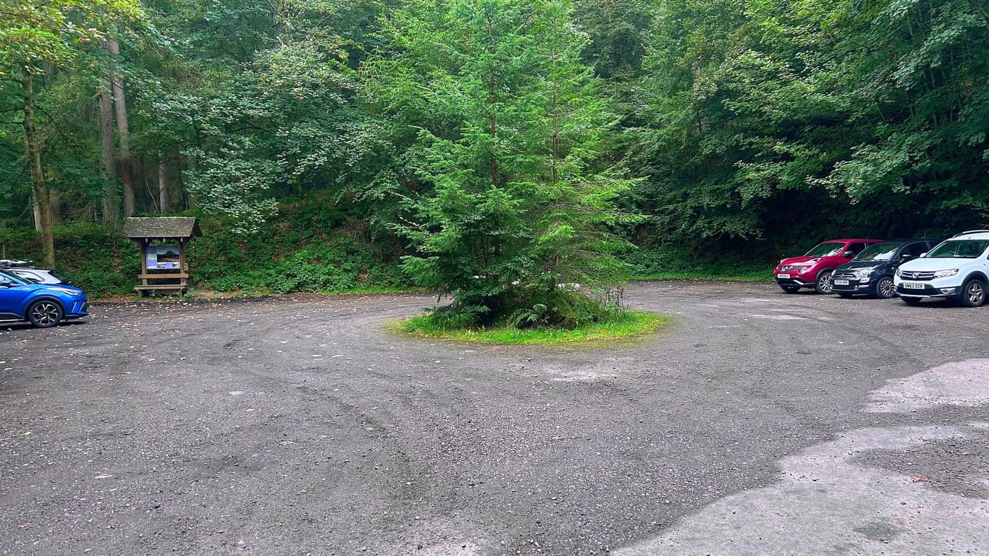
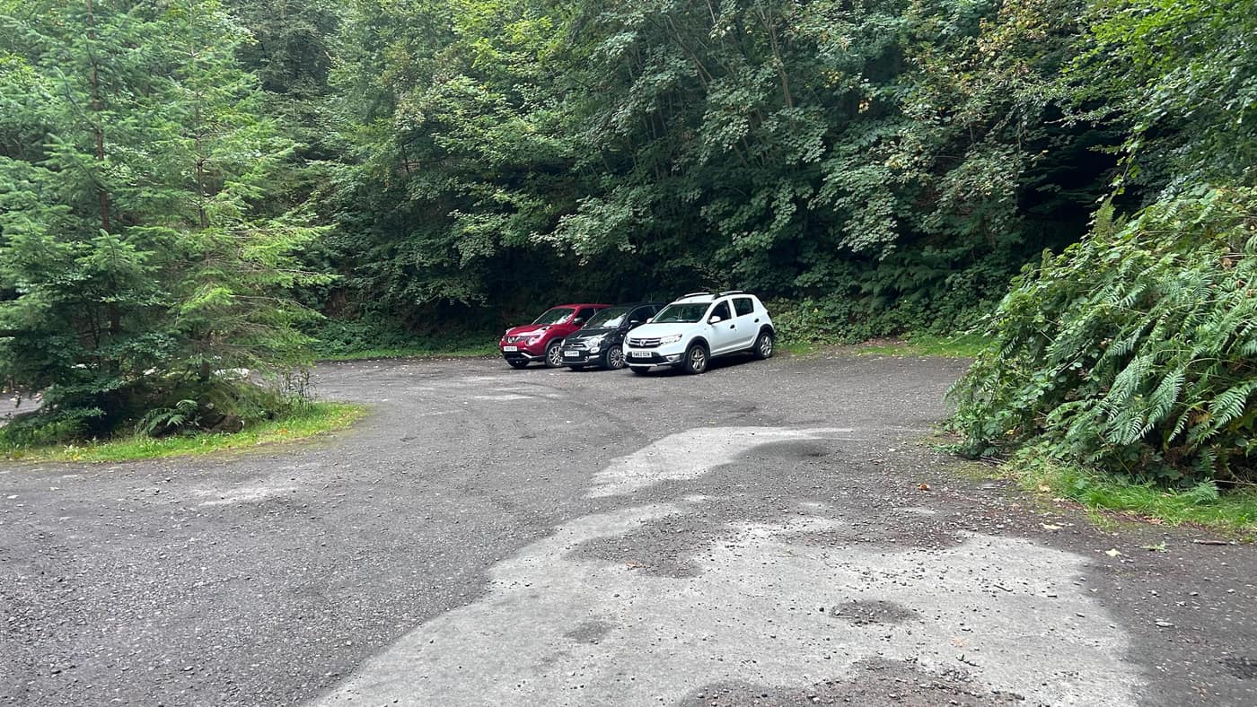
You can’t miss the start. There’s a board with a clear visual of the walk and where the hill sits, which was handy, because there are a few junctions on the way that aren’t signposted.
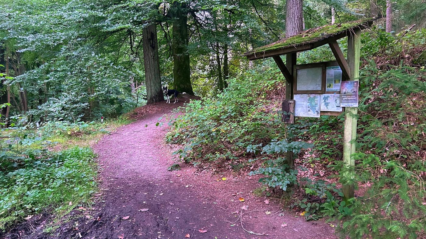
Through the woods
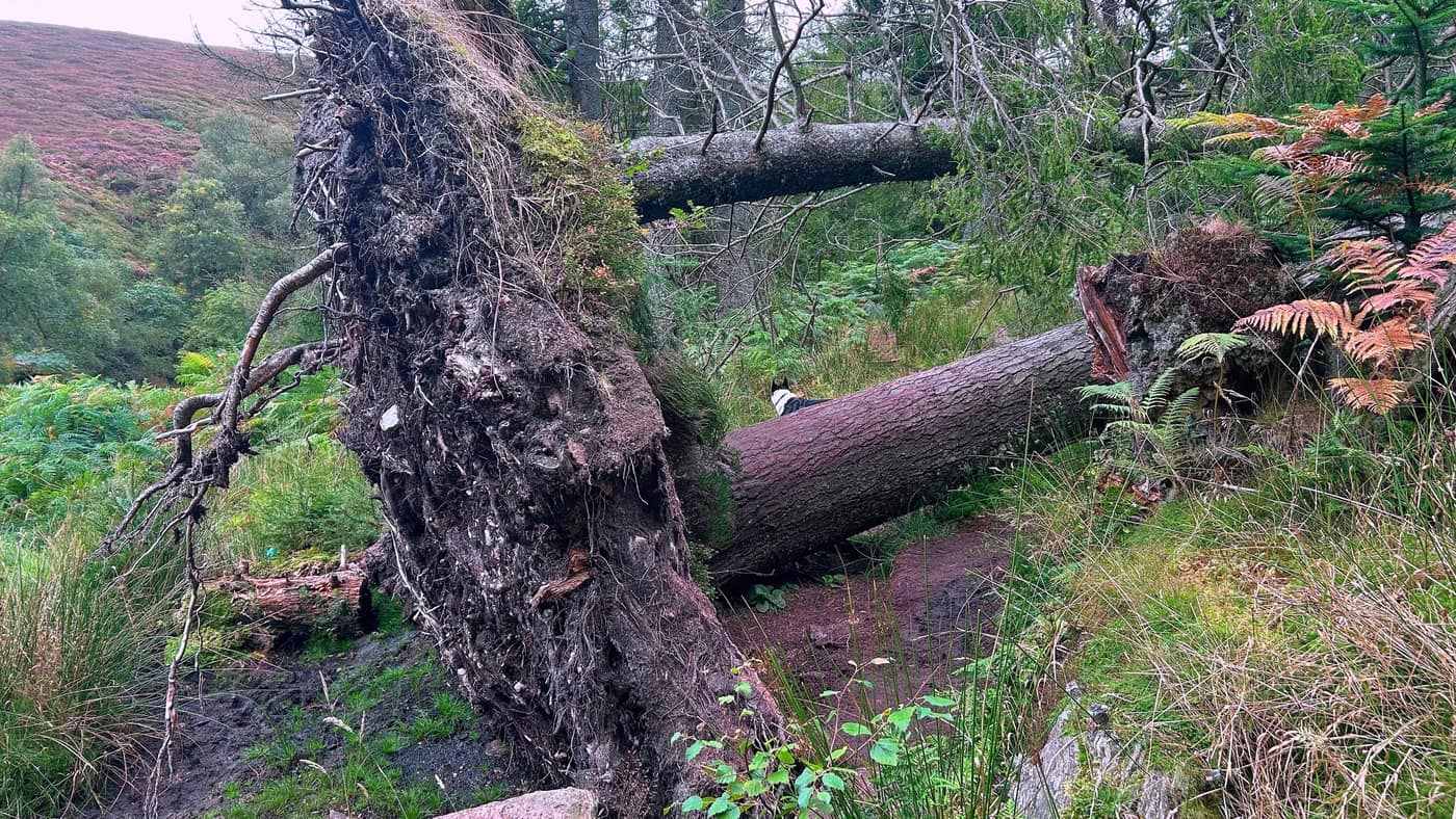
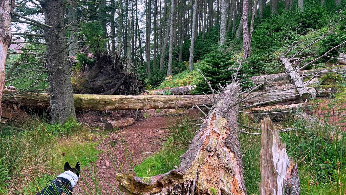
From the starting point it’s a steady walk, not too steep, through woodland. You’ll come across a tree blocking the path. Jump it if you’re fit enough.
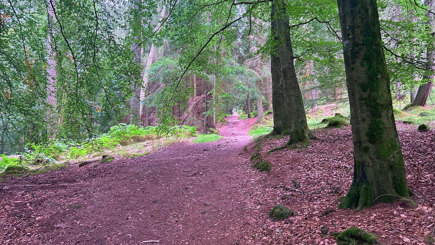
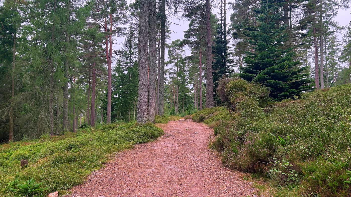
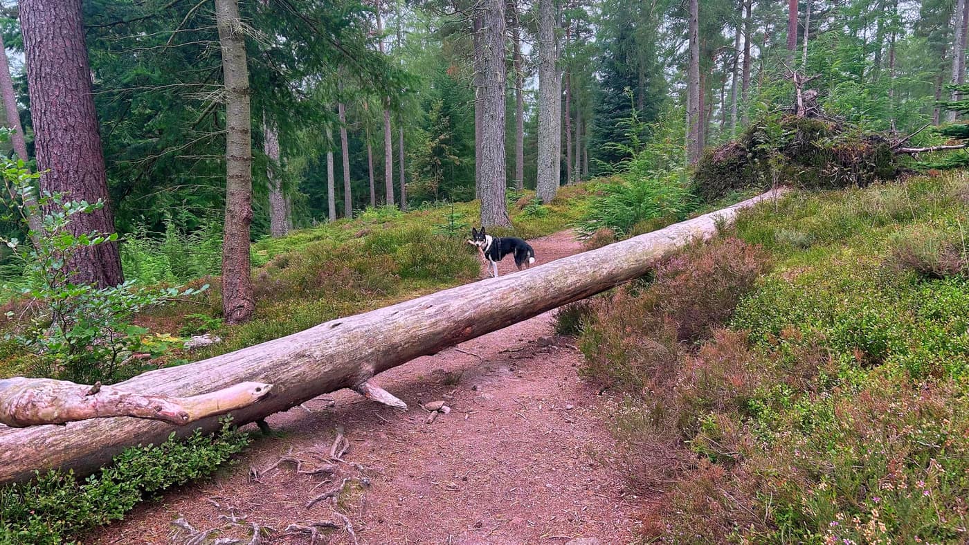
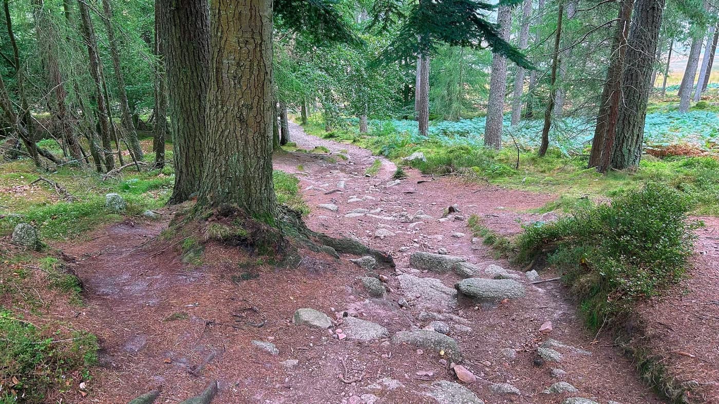
After the tree the path turns downhill. Watch yourself here, as there’s some rocks leading the way.
The junctions
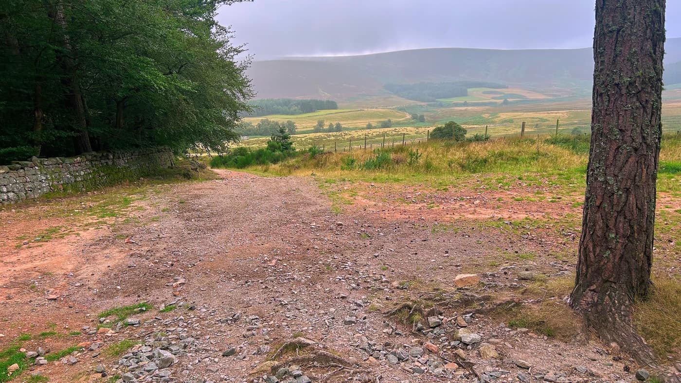
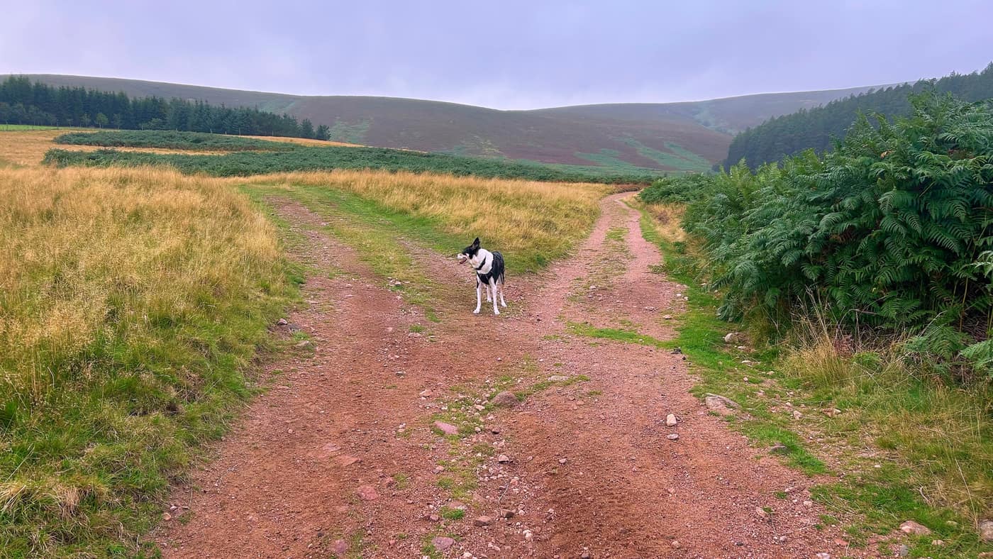
Just after the pathway you’ll come to your first junction. Go straight on here. You should see a gate in the distance at the bottom of the pathway — just head for that.
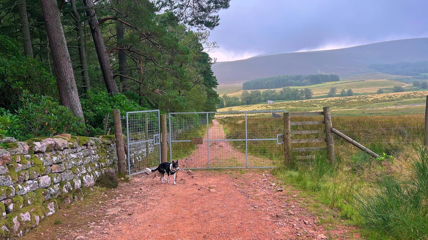
After the gate, if you look to your right, there’s a great inspirational quote on a board out in the middle of the moor. I phoned Katz to show her it. Couldn’t help joking that I wish I woke up to someone like that — she’s never there when I get up, on account of my snoring.
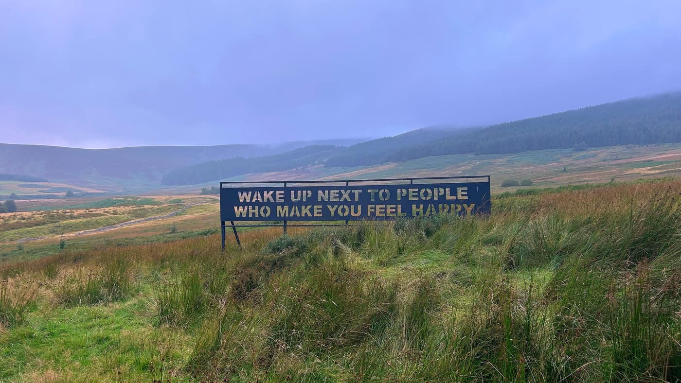
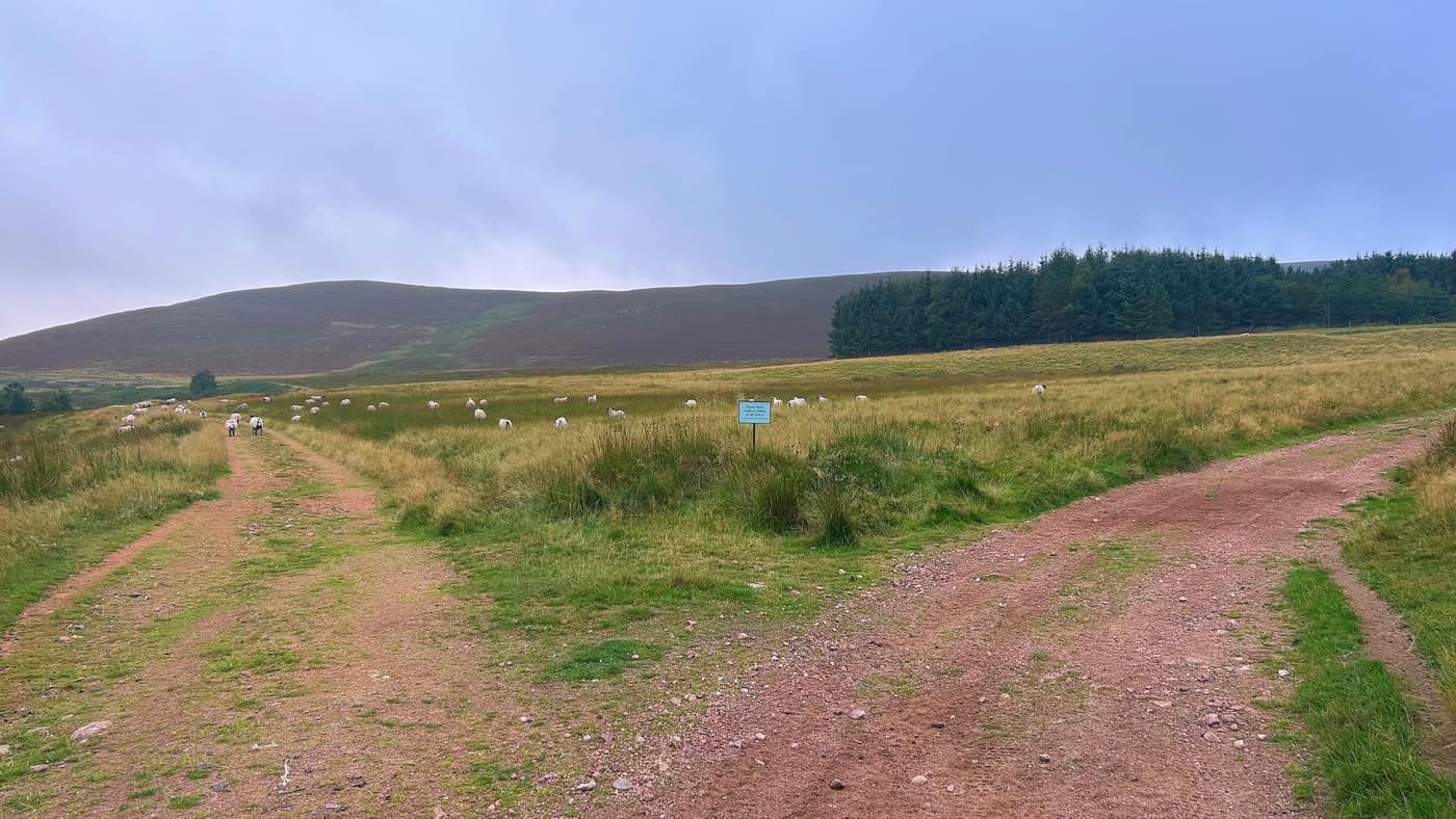
After the sign just keep walking until you come to your second junction. Take the path to the right, walk for another five minutes or so, then a third junction — again, stick to the right.
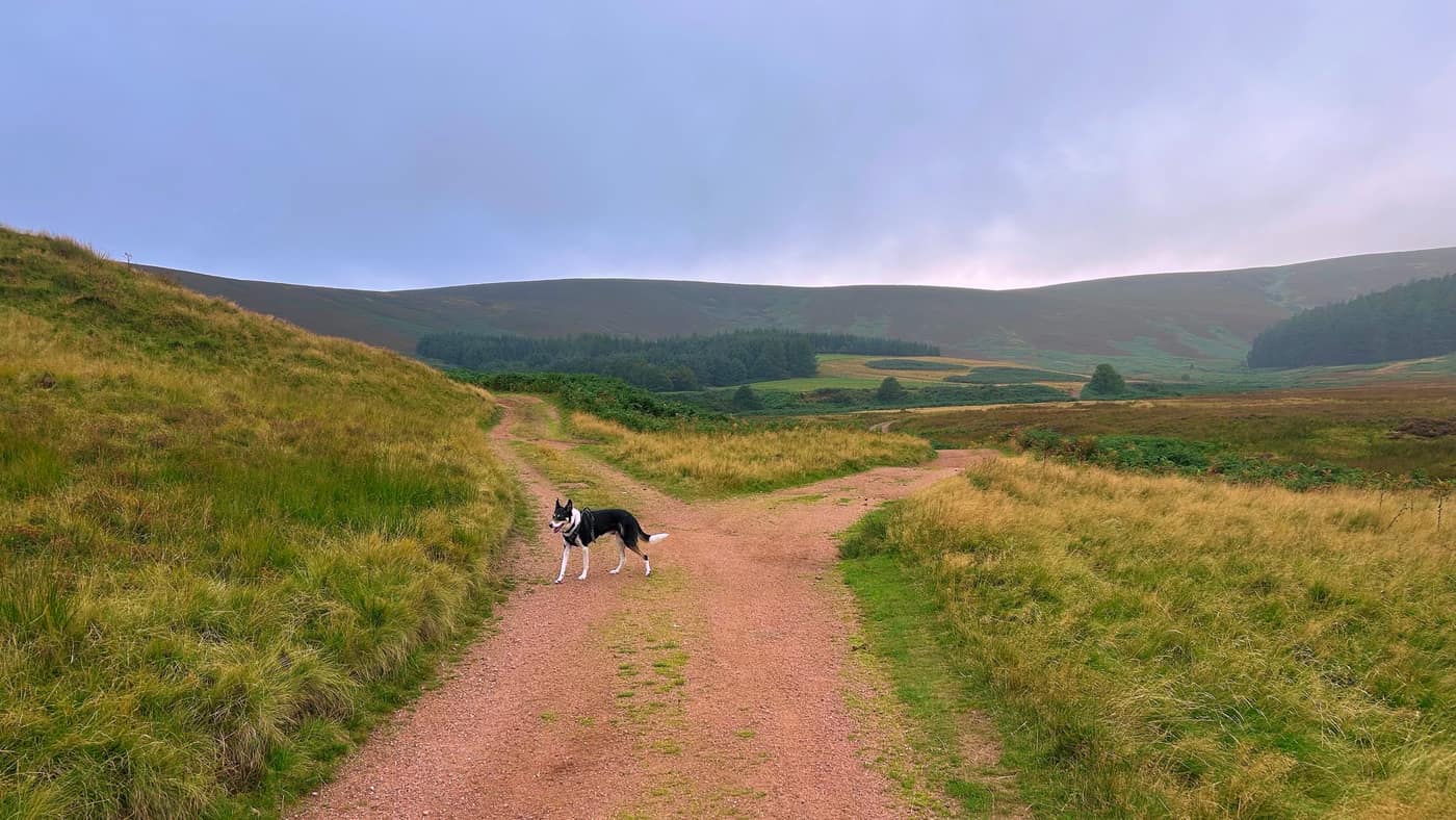
The water and the bridges
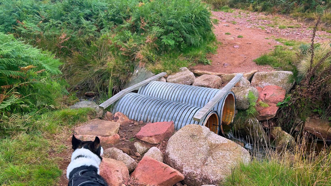
Next there’s a section with water blocking the pathway. If you fancy a stepping stone route and you like wet feet, then crack on through the water. Otherwise there’s a bridge at the left of the path.
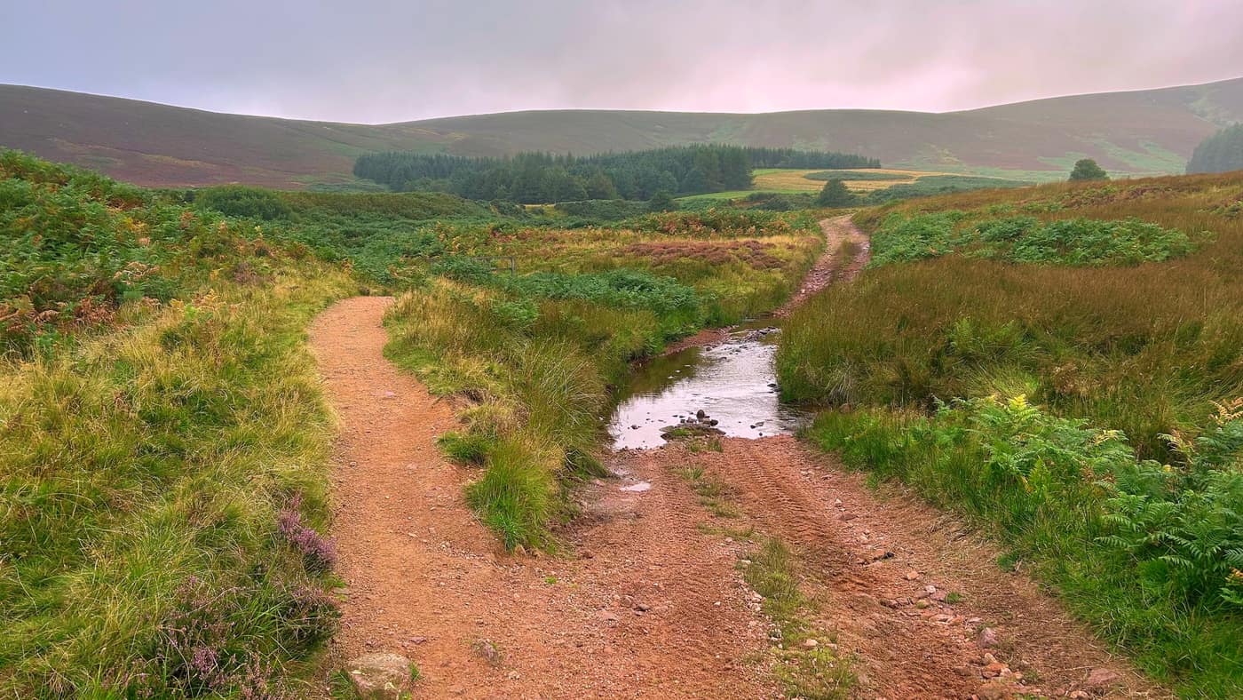
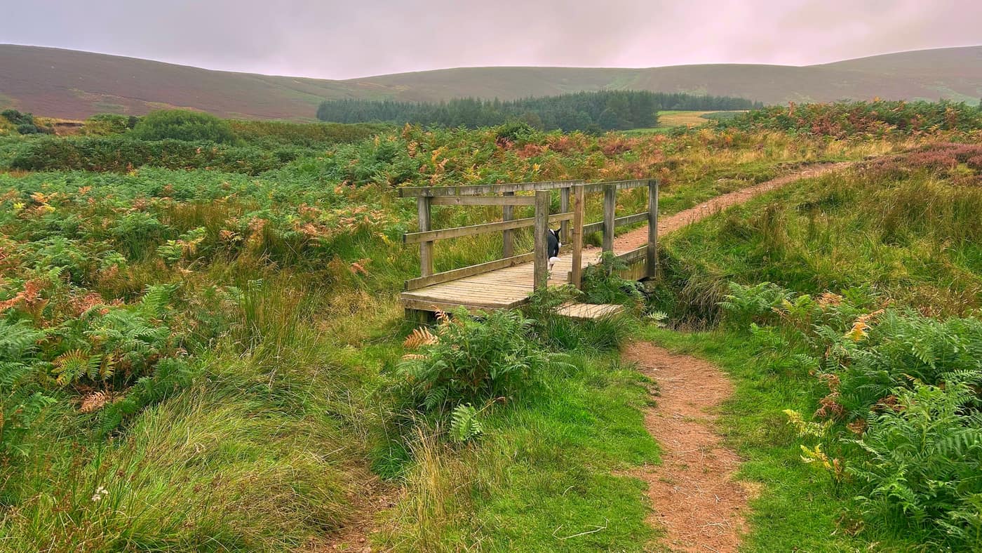
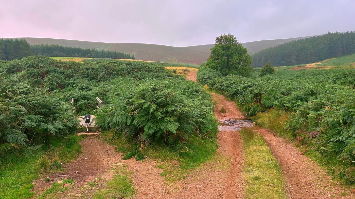
Final junction after the bridge, and again keep to the right. Then you’ll stumble across one last bridge.

Chase was a bit shaky going over the makeshift bridge, but he’s learning.
Into the forest
Just at the forest entrance you’ll see another gate and a sign you can’t miss, plus a bit of history on the hill if you’re interested.
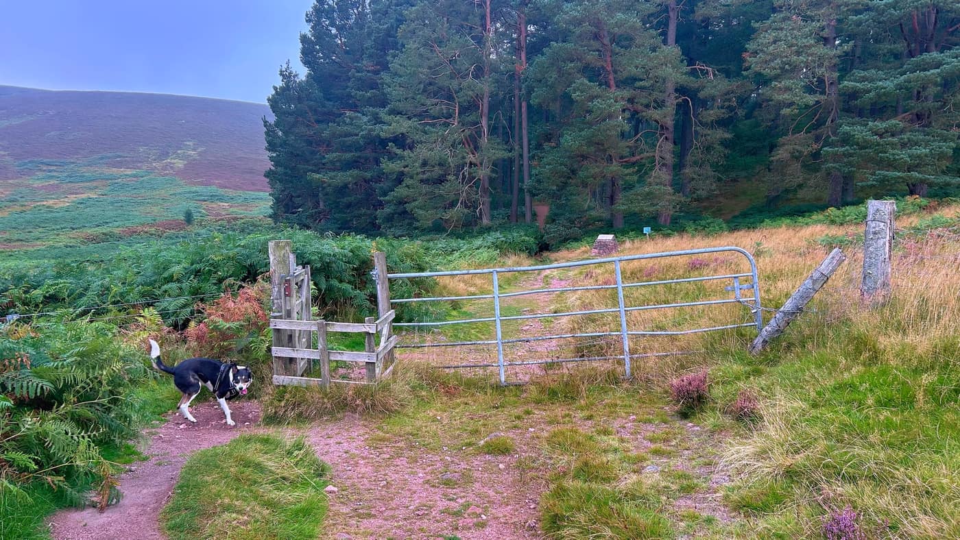
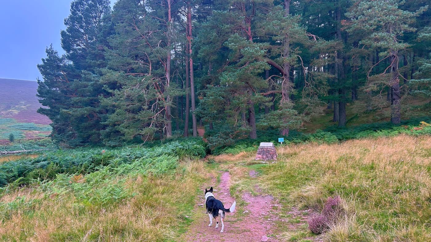
The sign is worth reading before you set off up. On the day I walked it — 12 September 2026 — it said the path was closed to let the ground recover, and to use the path to the left instead. That may well have changed by the time you’re stood in front of it, so go by what the sign says rather than what I’ve written here.
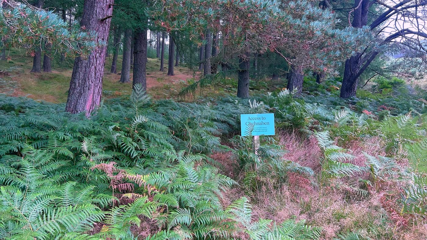
The climb through the trees
This is where the climb starts. Nothing too brutal yet, but a few obstacles on the way. The paths are clear, with routes around each fallen tree, but they’re easy enough to hop over — plus it’s fun.
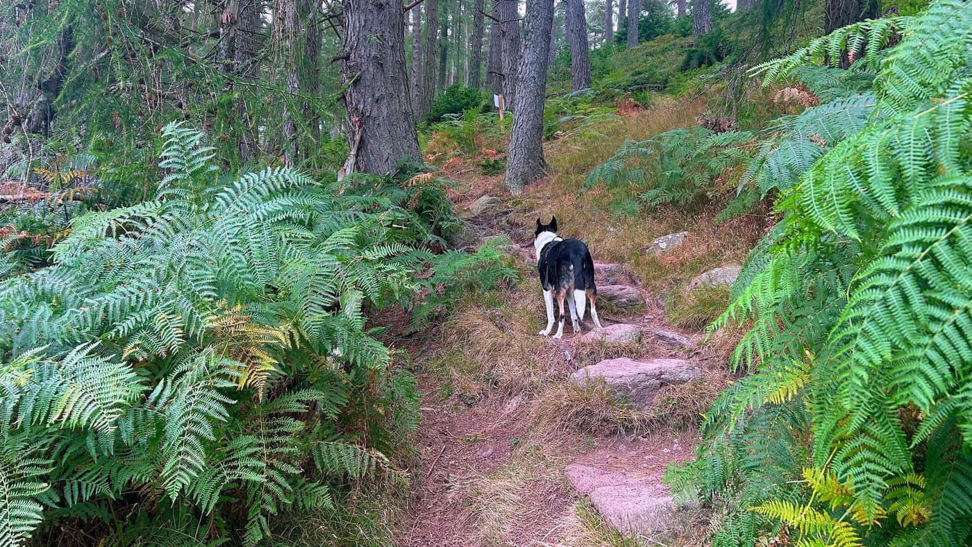
Watch your feet
This is the bit from the top of the post. Look out after the trees for small pieces of metal sticking out of the ground. I’ve put a ring round one in the photo so you know the shape you’re looking for. There’s a few of them and it goes on for a couple of minutes.
Out onto the open
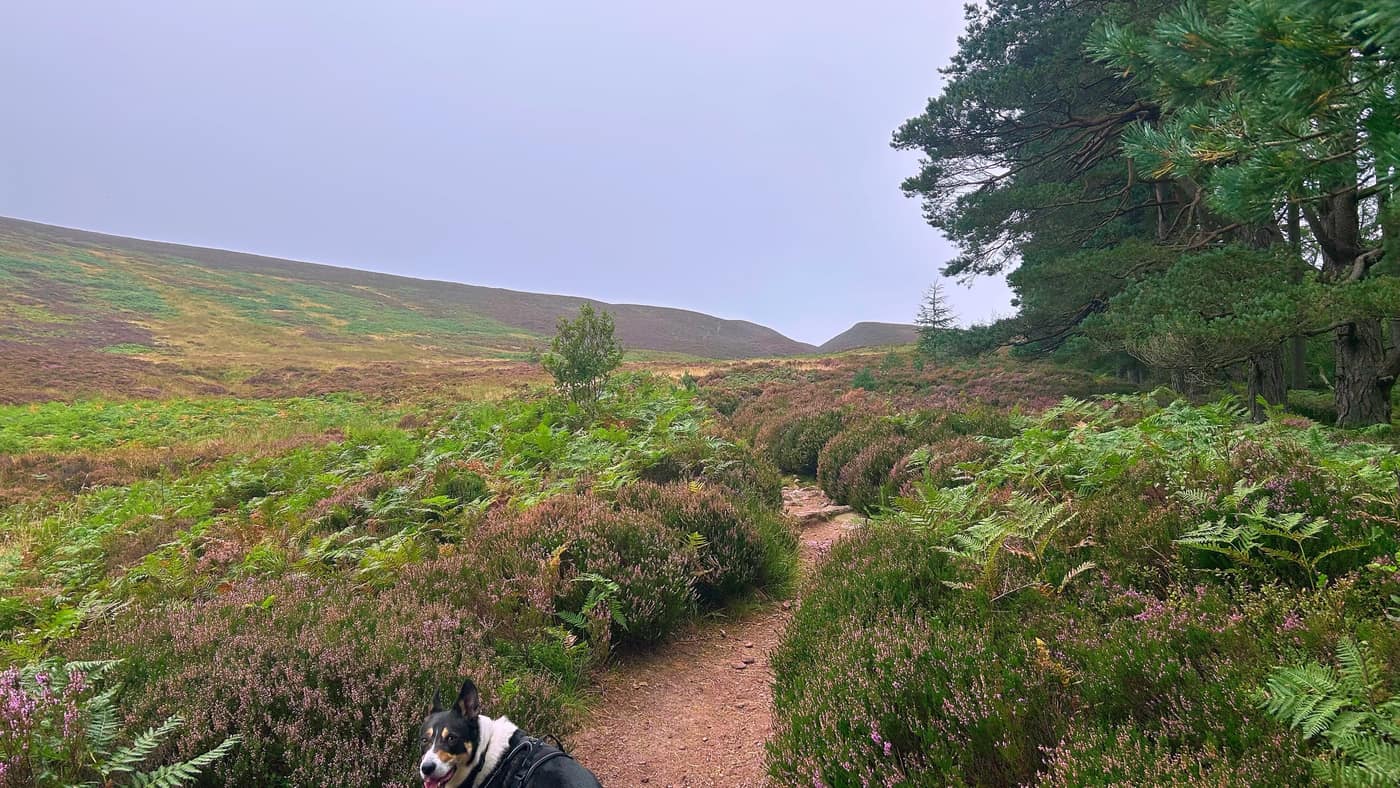
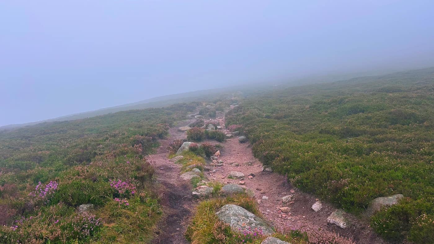
After here you walk for another five minutes or so and you hit the open, and start the steeper climb to the summit.
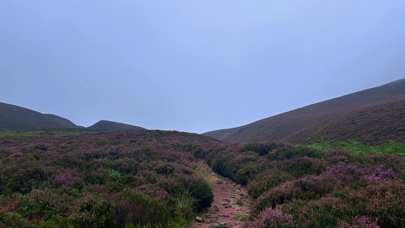
Things started to get misty, so I had to take a photo before I disappeared into the fog.
The stone steps
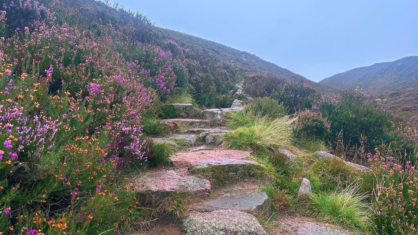
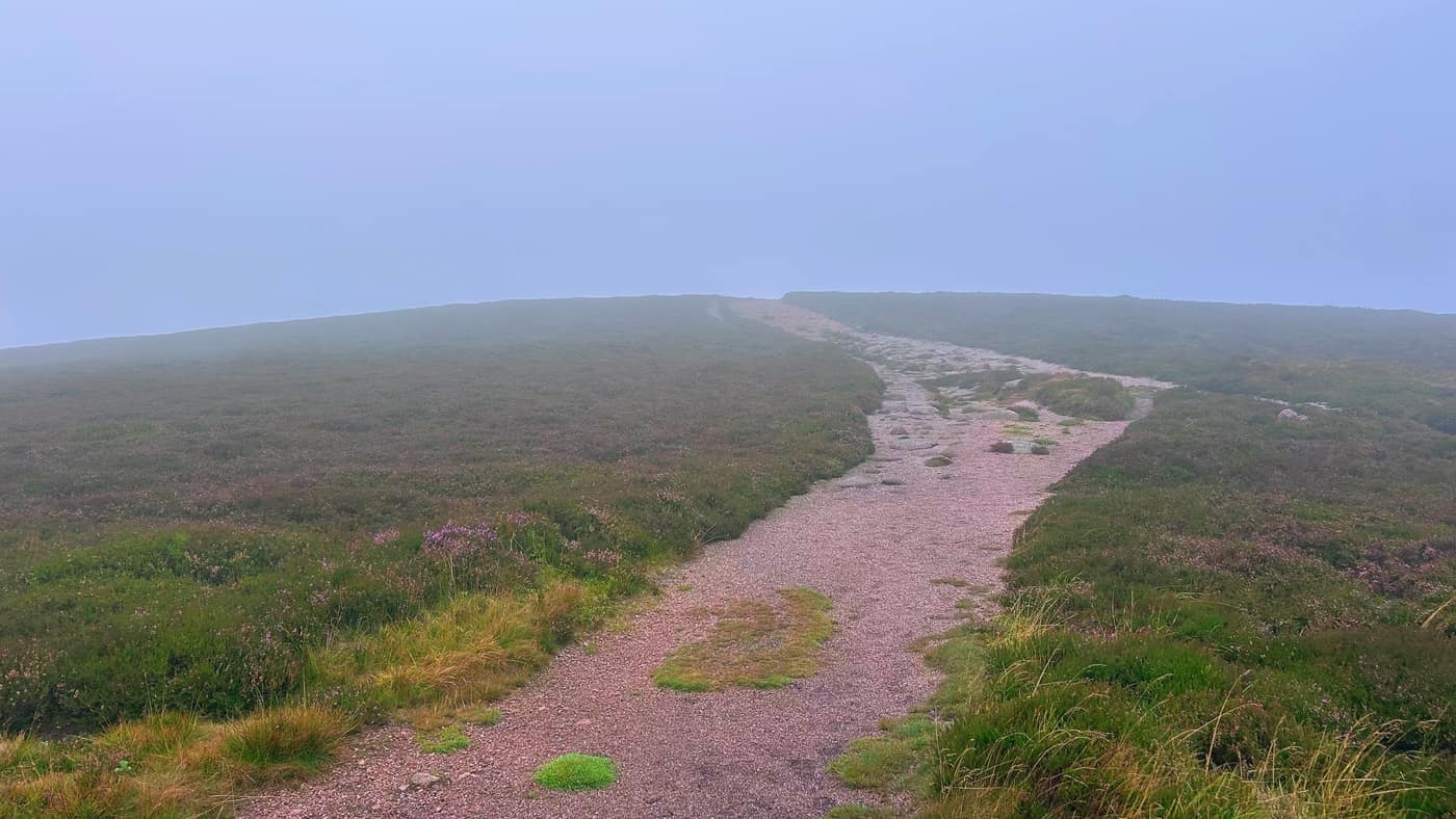
Then you come to the hardest part of the climb, with a stone step path that lasts around ten to fifteen minutes. The heather was out all the way up either side of it.
The rock
On a clear day, after the stones, you could probably see the peak of the hill where the rock is. I couldn’t see it. Just a path. Then the rock revealed itself as I got closer.
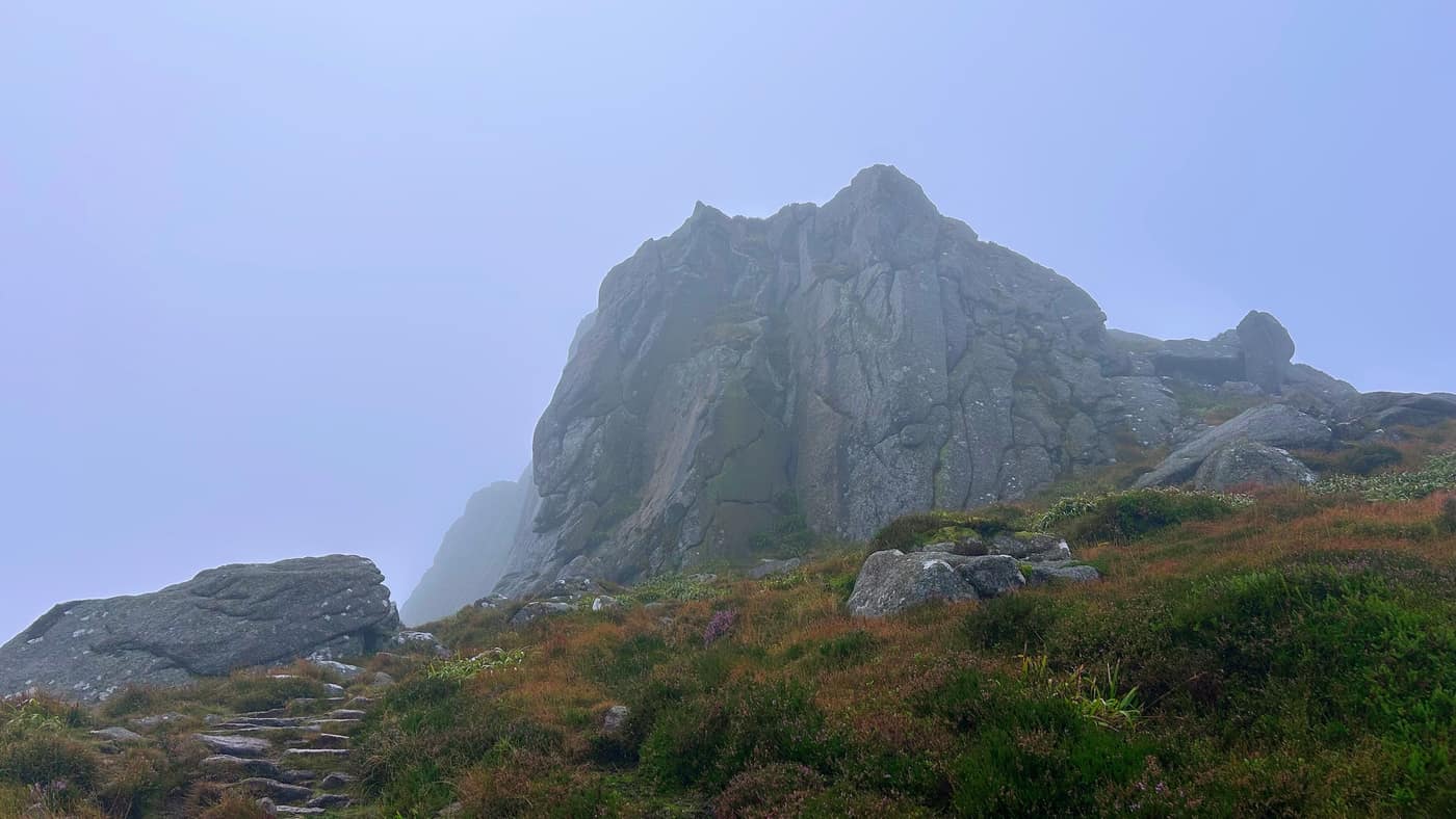
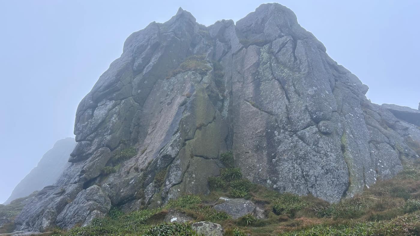
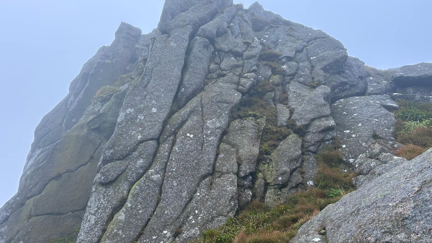
When you reach here, keep to the right and work your way round the back of the rock.
Finding the trig point
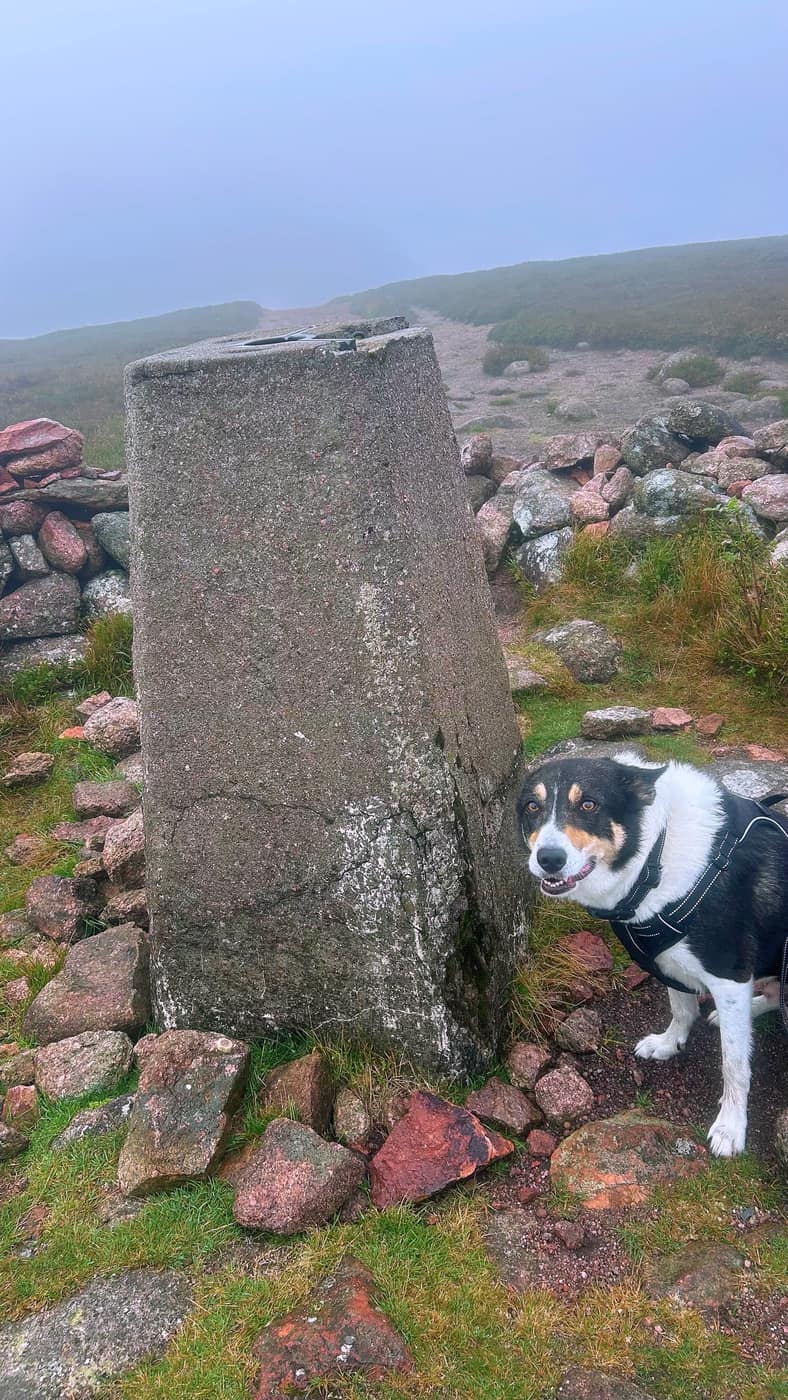
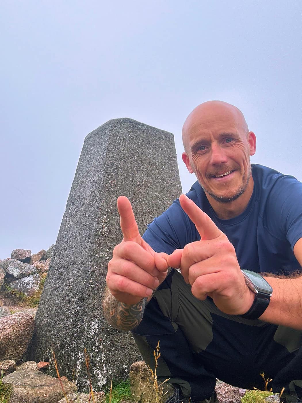
At the back of the rock you’ll see a path leading across to the trig point. It took me a good five to ten minutes of looking to find it, down to the visibility. I even checked on top of the rock to see if it was up there. Eventually I took the path, and me and the man took our pose.
The way back
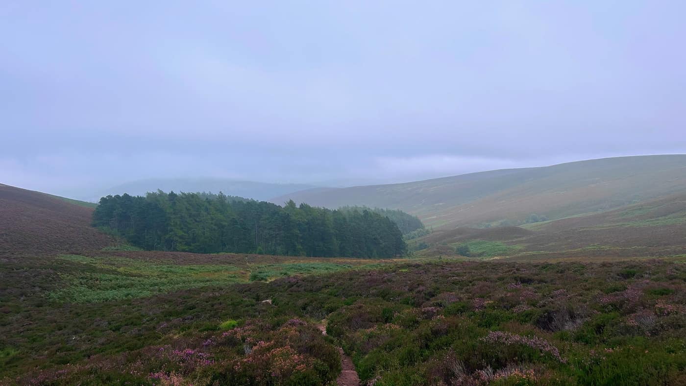
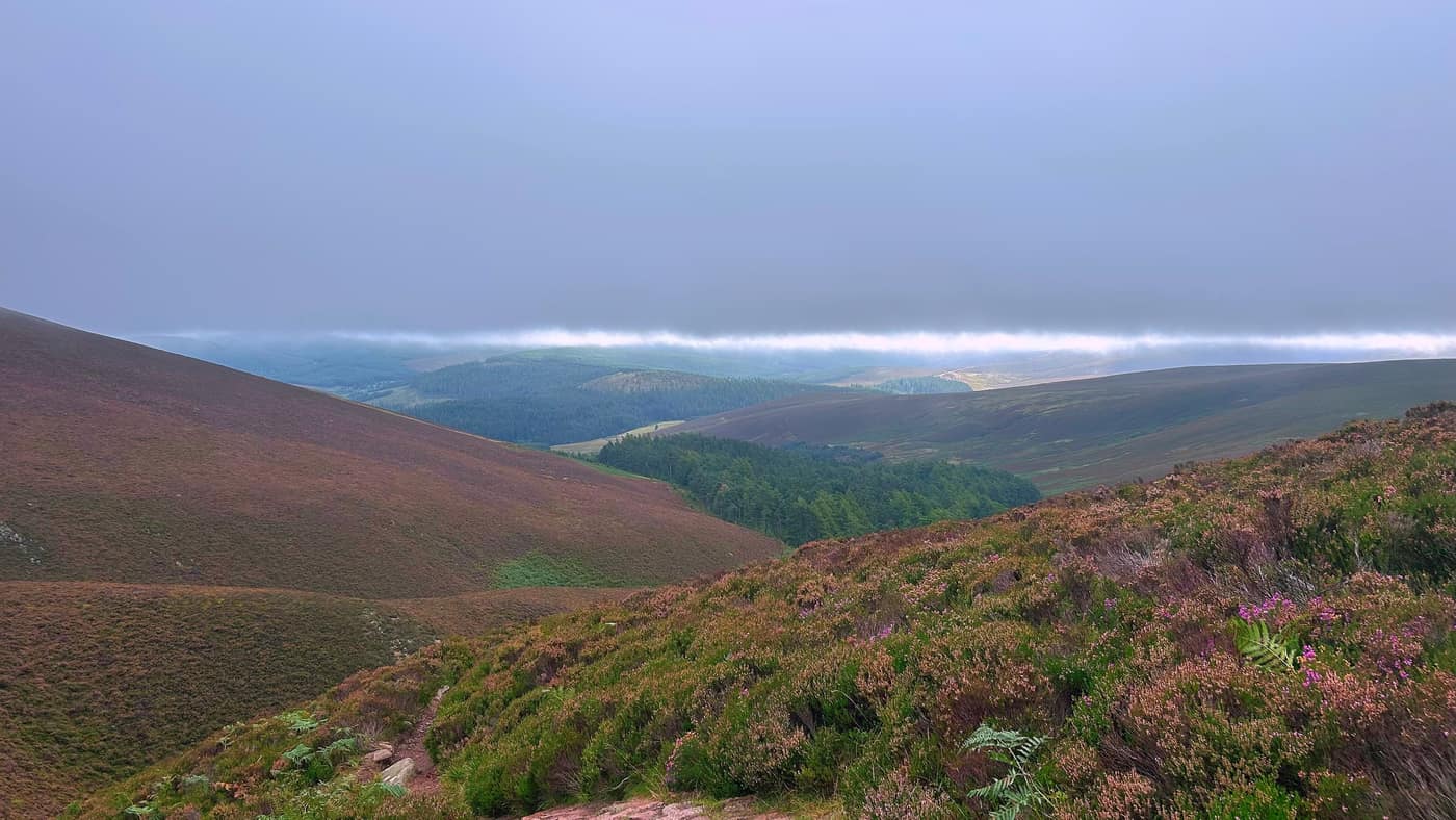
Not much of a view on this one today, but I did manage to get some on the way down. The cloud sat in a flat band right across the glen.
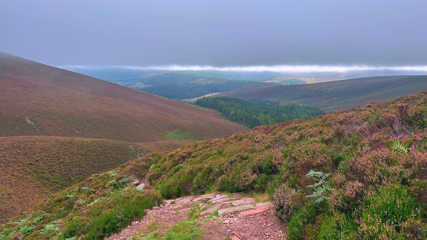
Another summit reached and another star on the map, and we headed back down the way we came up.
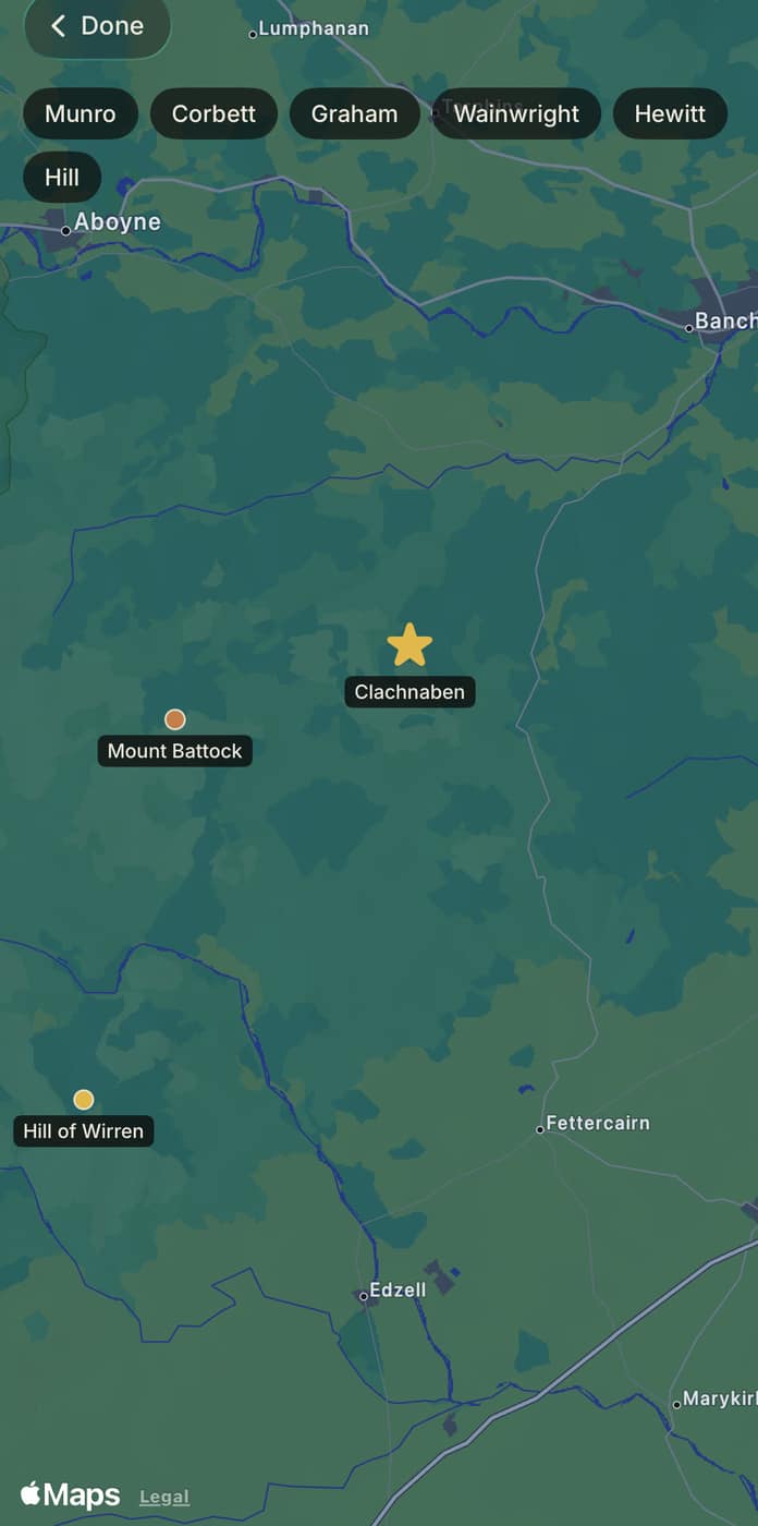
Take the tick list with you.