Little Wyvis
- Height
- 763 m
- Grade
- Average
- Round trip
- about 3 hr 20 min
- Distance
- about 9.5 km there and back
- Ascent
- 644 m
- Steps
- 13,500
- Start
- Silverbridge car park, A835
- Region
- Easter Ross
Times are our own pace, with Katrina and Chase. I finished the recording at the summit, so the distance and steps above are the way up doubled — recorded on the app: 4.78 km, 1 hr 43 min and 6,744 steps to the top. The total time is my own estimate.
Always go back down the way you came up. Same rule as every walk on here — if you’re not sure of the ground, that’s the way you know.
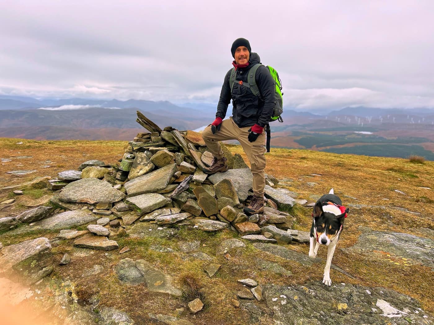
Little Wyvis is a Corbett of 763 metres just north of Garve, sitting right next to Ben Wyvis. It was me, Katrina and Chase today.
Getting parked
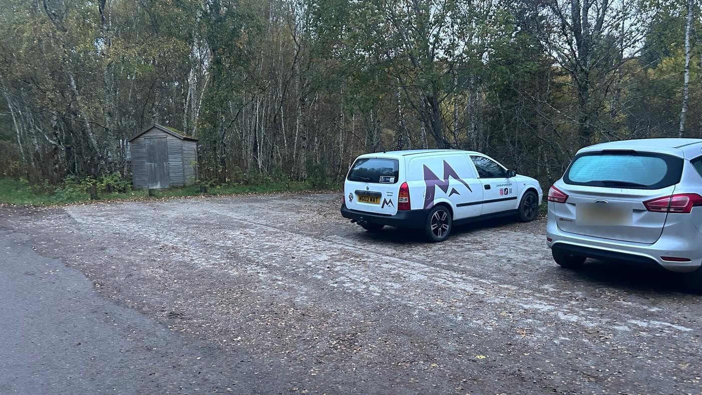
The car park is at Silverbridge, just before the bridge on the left as you come up the A835. The board there says the car park and toilets are looked after by Highland Council.
The app didn’t get this one right. We ended up driving up the footpath we were meant to walk, so I’ve had to readjust the coordinates in the app, and it’ll take you to the correct car park now.
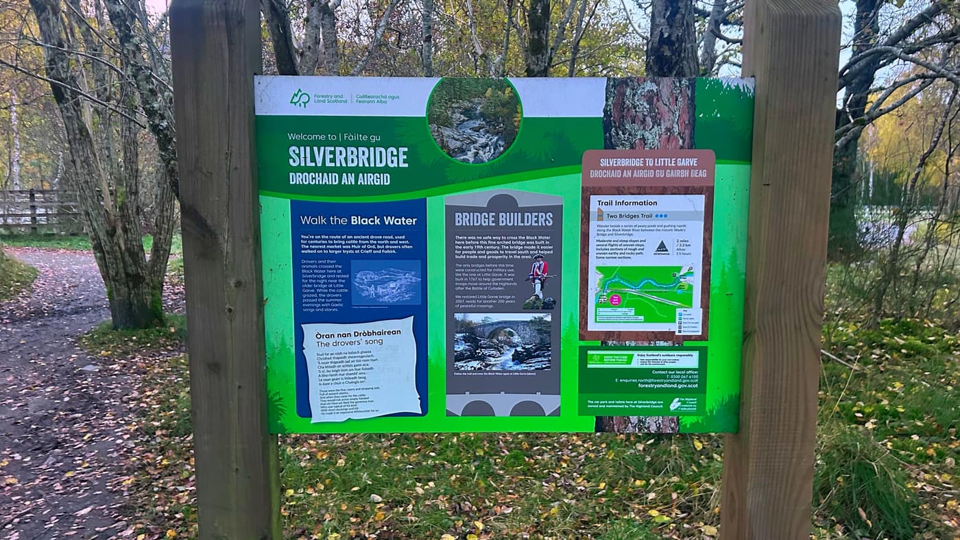
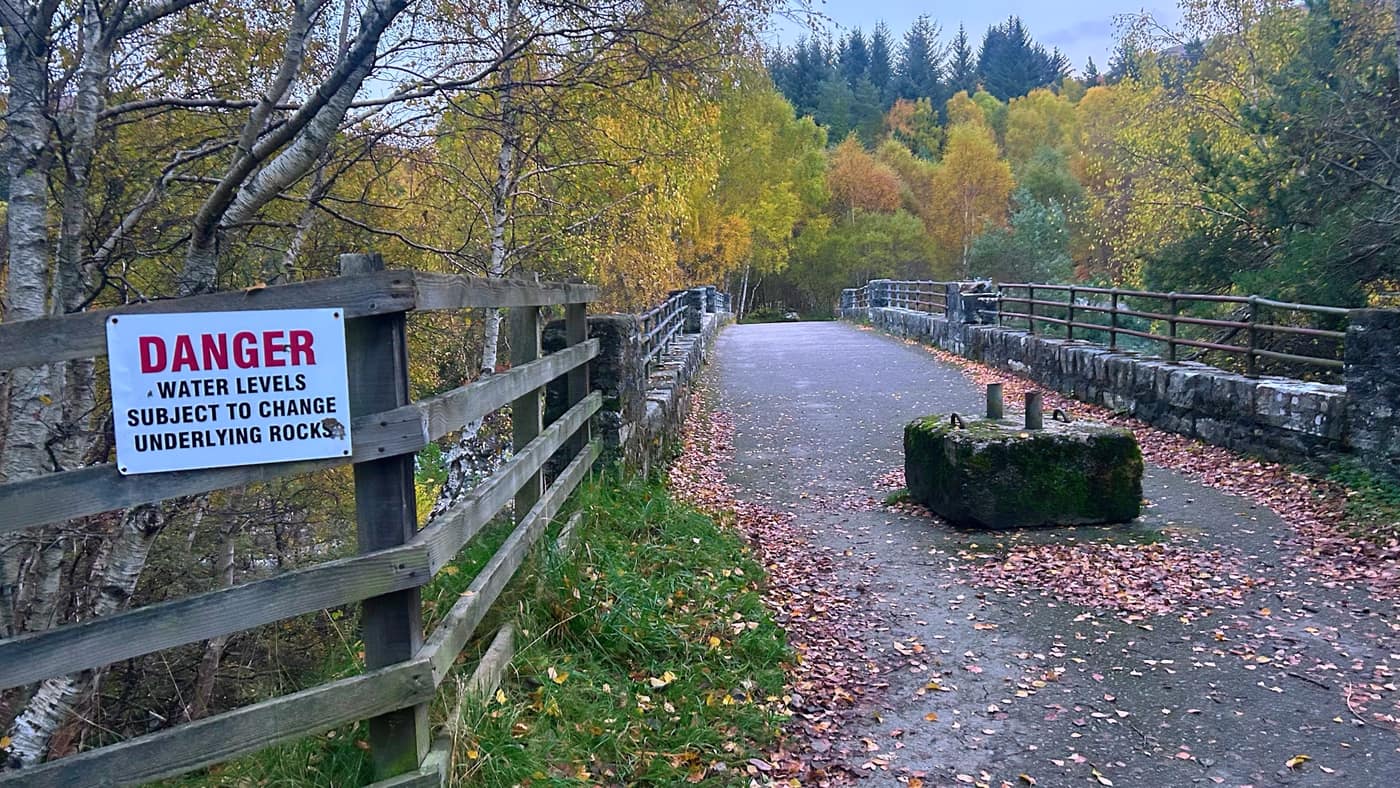
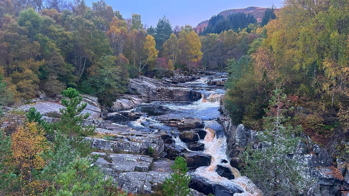
From the car park, walk over the footbridge. It’s the old arched bridge over the Black Water, built in the early 1800s, and the board says this was an old drove road. Cattle came through here for centuries on their way to market. Stop on the bridge and look down, because the Black Water comes crashing through the rocks right underneath you.
Across the road
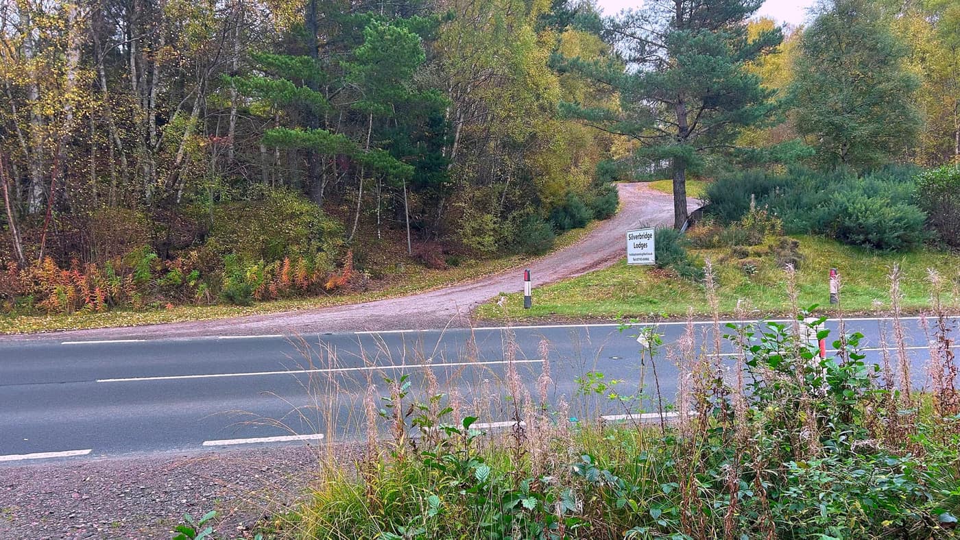
Watch yourself here: there’s a main road crossing to start the walk. It’s the A835 and the traffic doesn’t hang about, so take care.
Once you’re across the road and on the path, keep left and follow the track.
Up to the gates
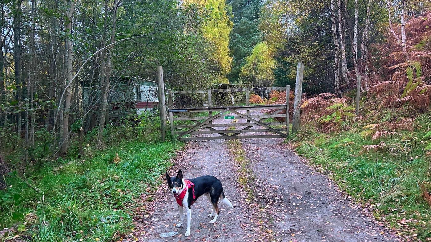
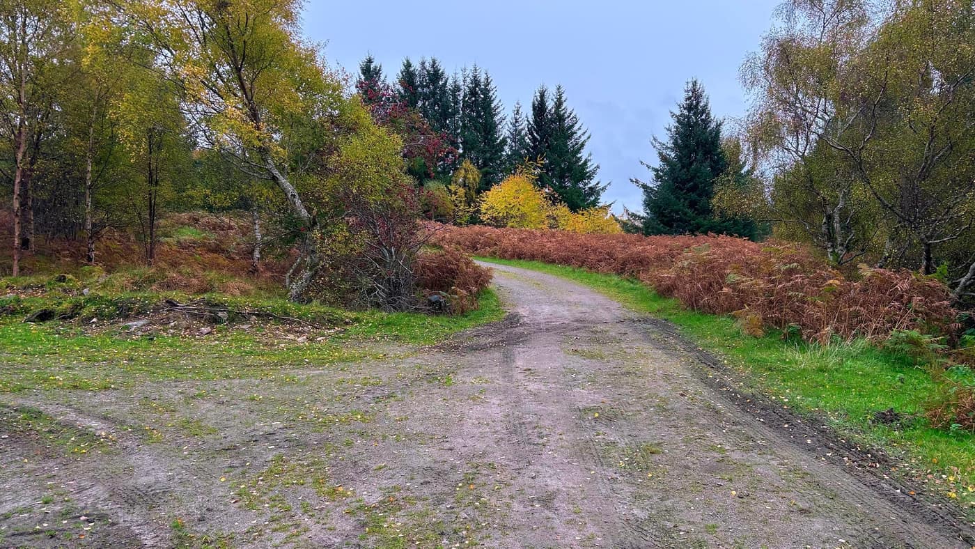
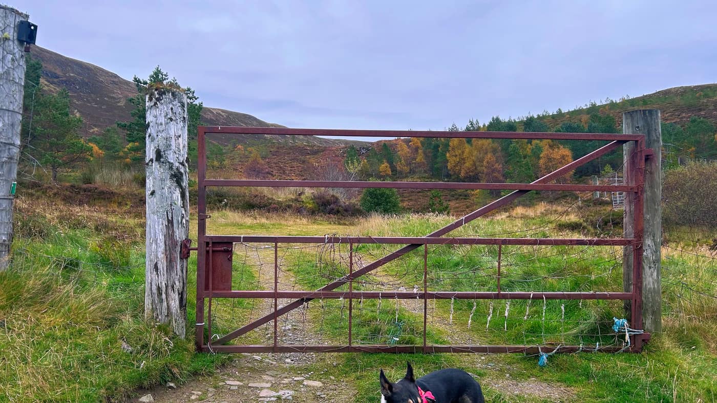
Keep following the track up to your left until you come to a gate, with an old abandoned caravan sitting just off to the left of it. Keep heading past here until you come to a second gate.
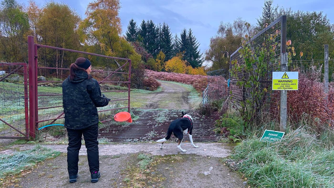
At the second gate, there’s a grating on the right of it, and it’s not safe. There’s a sign beside it saying so. Use the gate, not the grating.
Then head straight in front of you and carry on up the track.
Past the barn
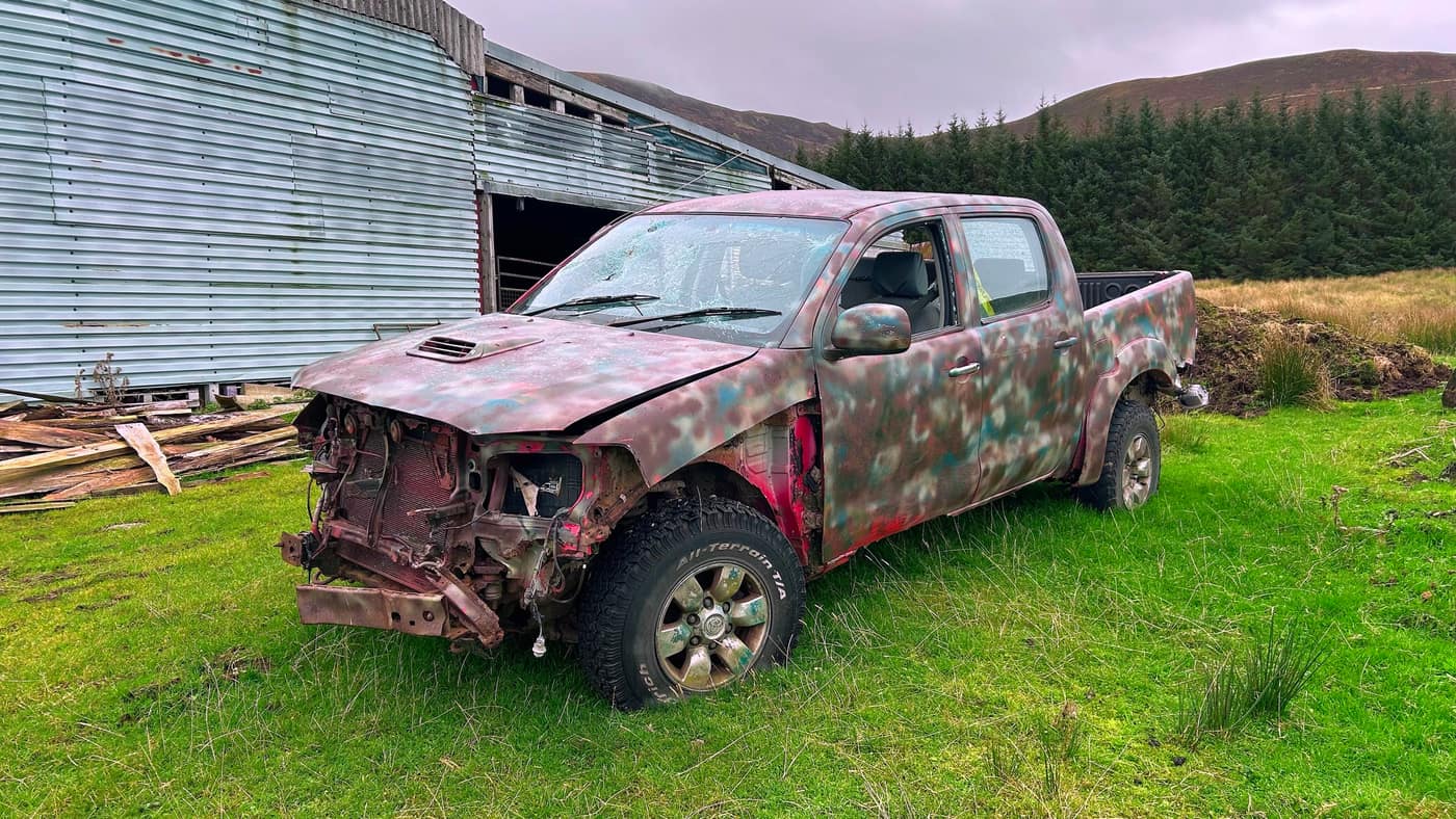
Keep walking for roughly another 5 to 10 minutes until you see a big barn on your right, with a couple of abandoned cars beside it, including this one. Past here you’ll come to another gate.
The climb starts
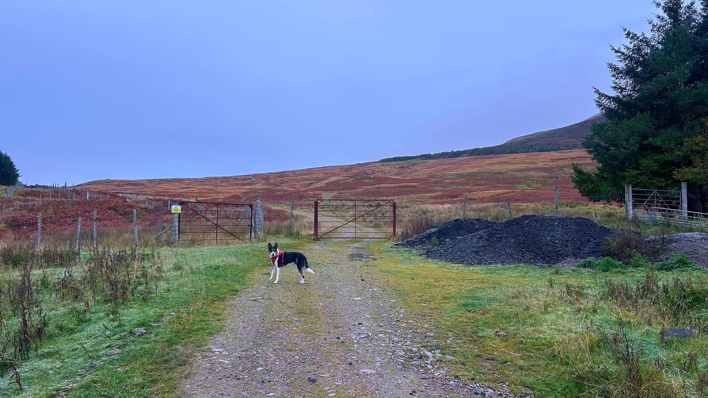
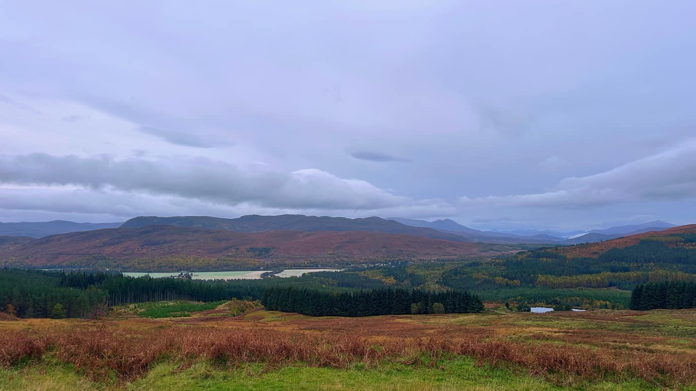
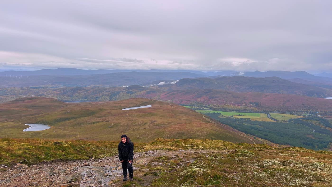
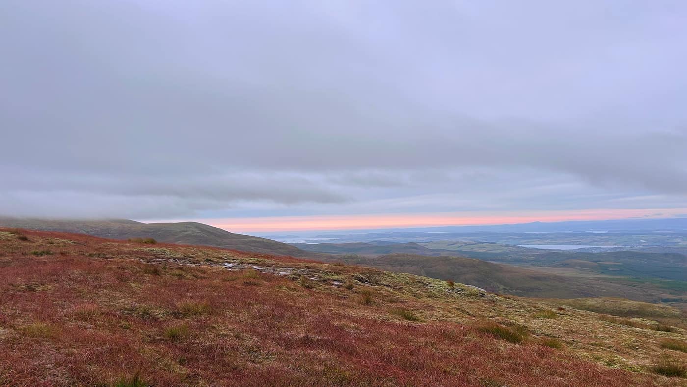
This is where the climb starts to get serious. It’s a good 15-minute walk until you reach the next gate, and it’s worth looking back at the views from here. The valley opens out behind you, forest and fields and hills stacked up behind them.
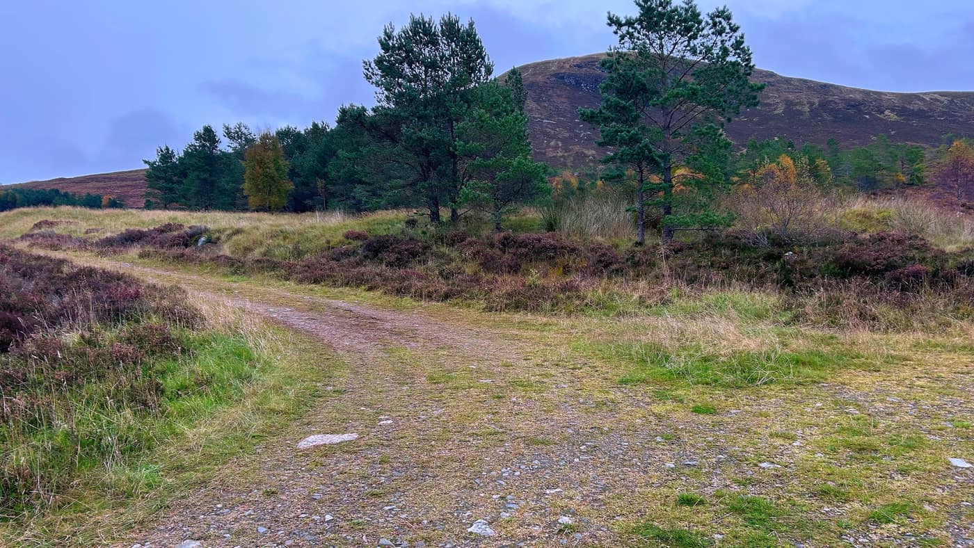
After the gate, take a left. The path on the right takes you to the radio tower on another hill.
The last gate
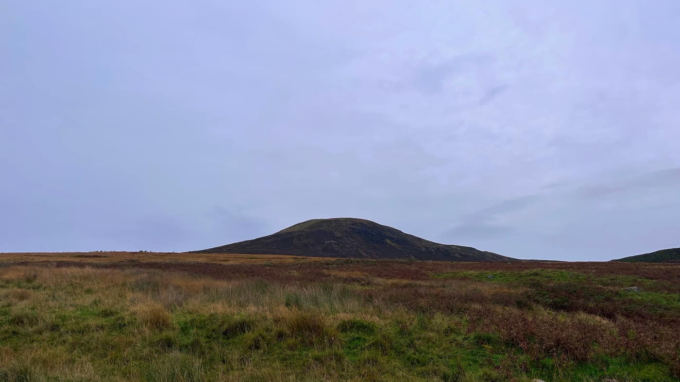
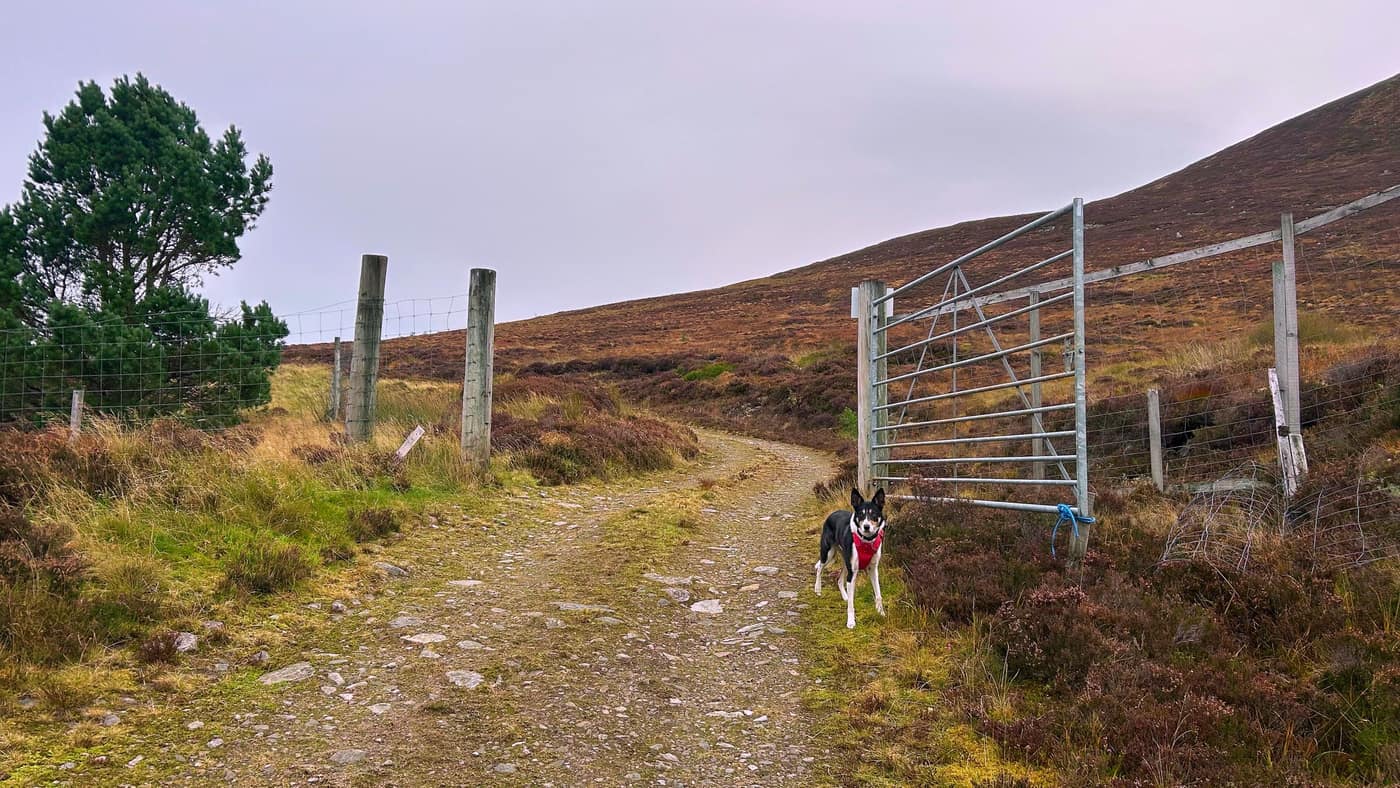
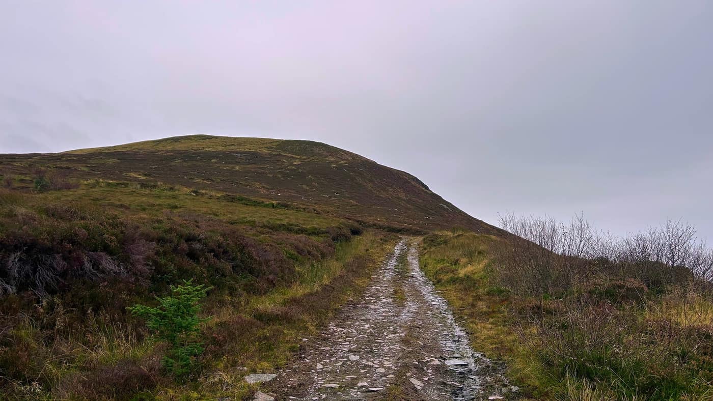
Walk a good 10 minutes or so and you’ll come to the last gate before the steepest part of the climb, where the path winds up towards the summit.
It’s straightforward from here: you just keep following the path upwards. Breaks may be needed, though. Katrina had a good moan on the way up this section, and this is only her second Corbett.
Looking back
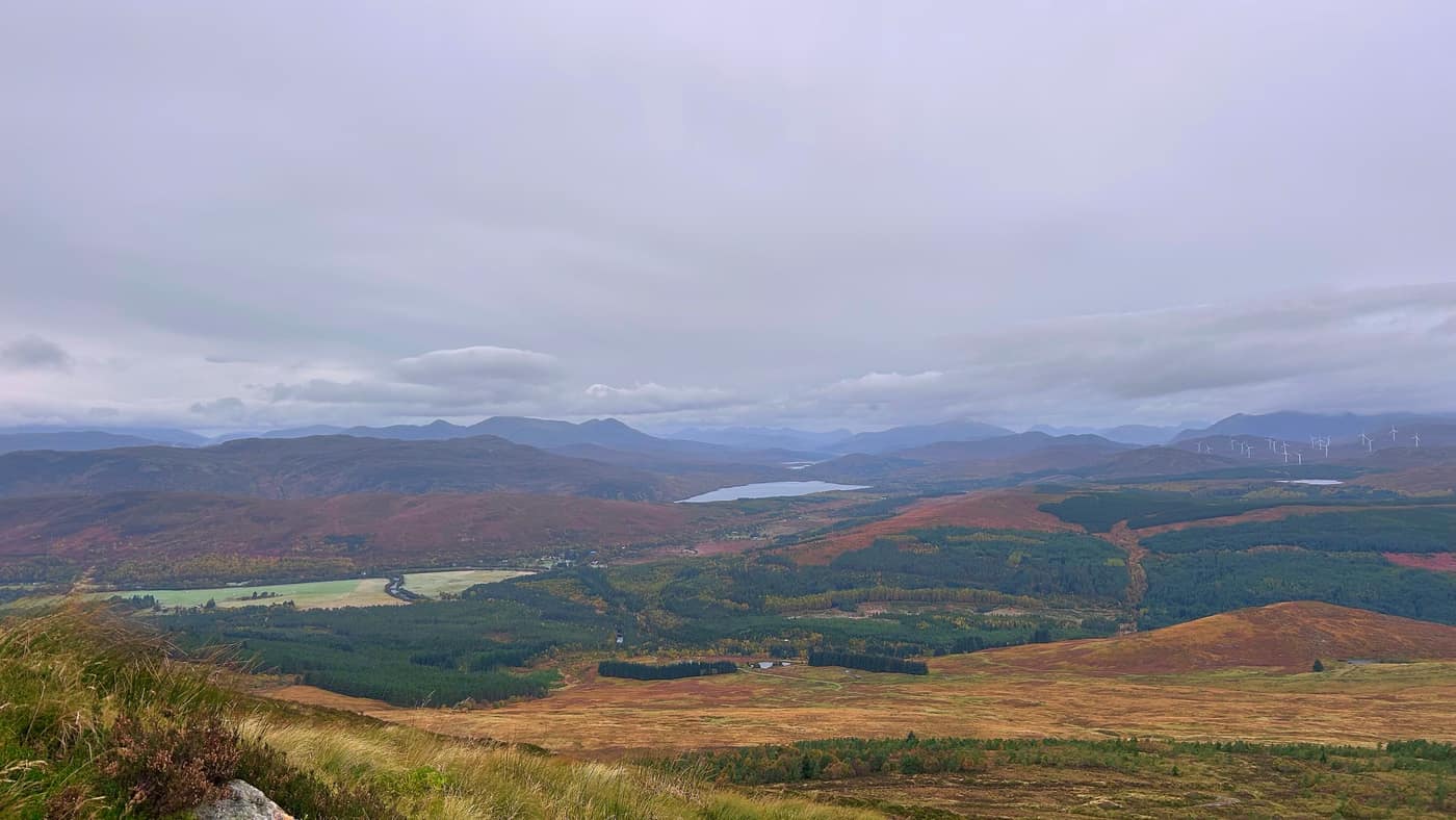
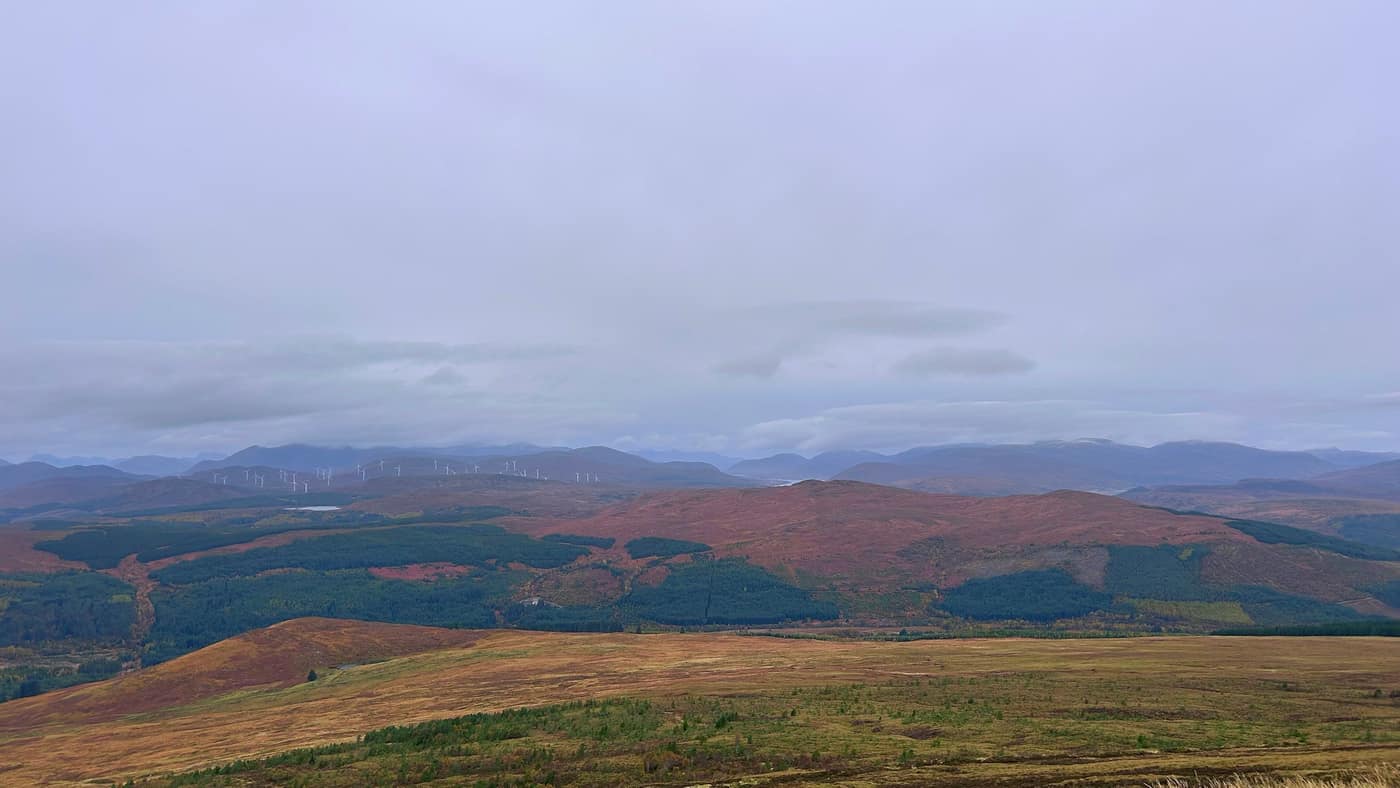
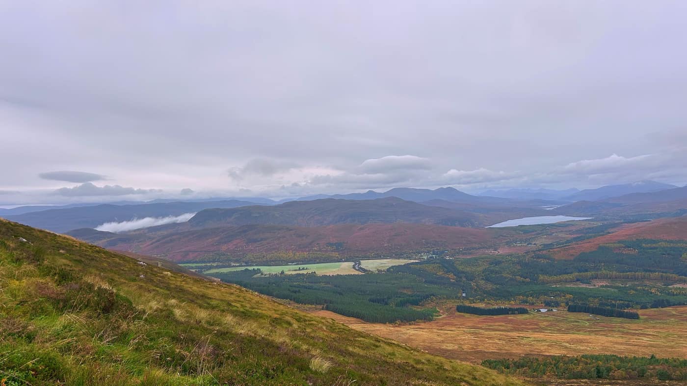
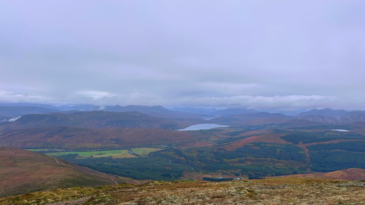
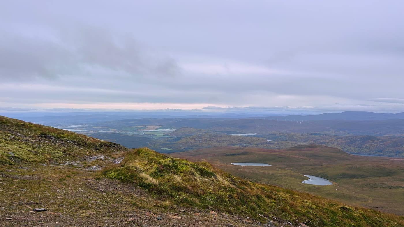
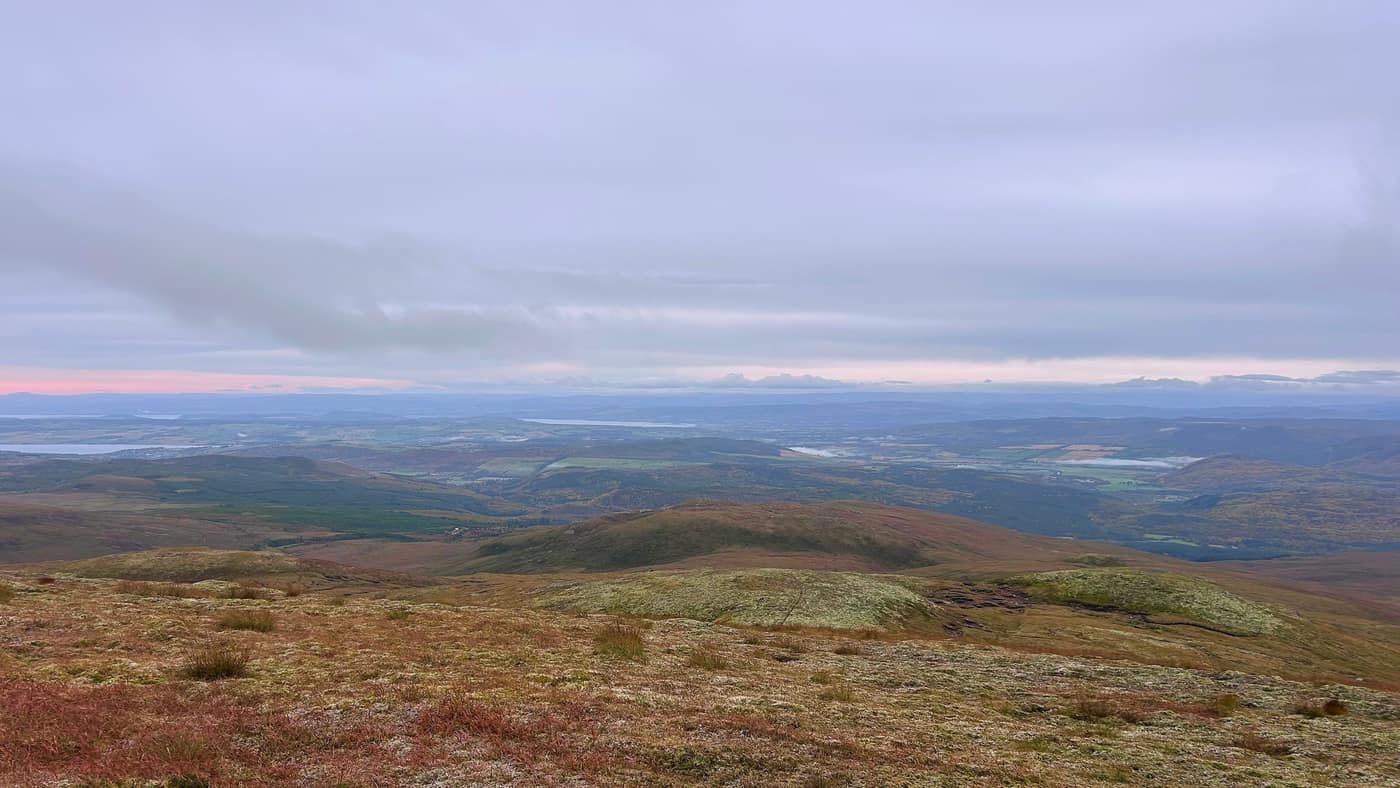
Like I said, the paths are straightforward, so I spent most of the way up looking back and taking photos of the scenery.
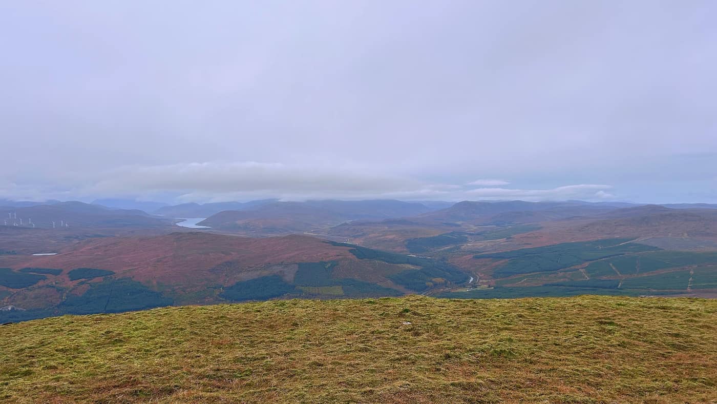
On one side there’s a loch below you, with the windmills along the hills behind it and bigger hills stacked up beyond them with cloud sitting on their tops. Turn round and the land runs away east towards the firths, flat and green, with water shining in among it.
The top
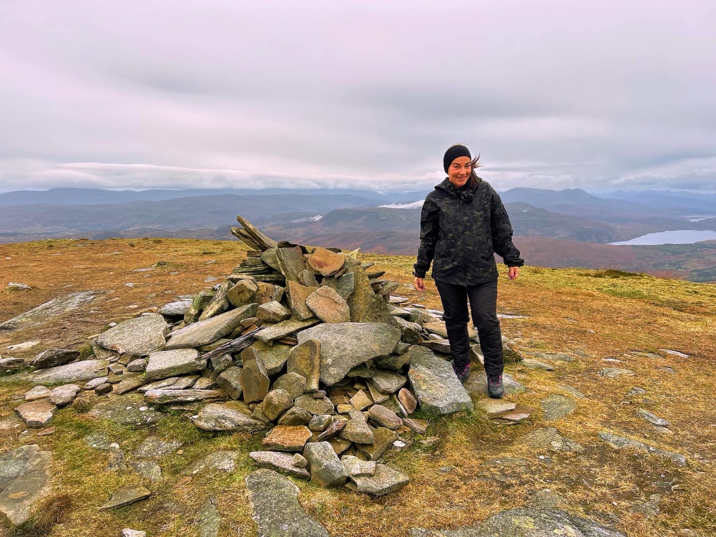
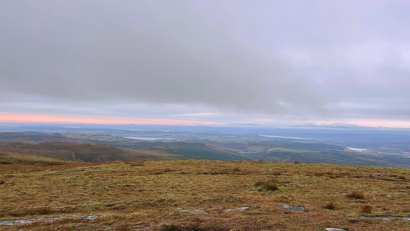
The climb up the paths was rough, but worth it. We finally made it to the summit and took in the view. Katrina’s happy now: mission accomplished.
The top is a cairn of flat grey stones on an open, grassy summit, with the view going every direction. Chase wasn’t stopping for any photos, he was off having a look round.
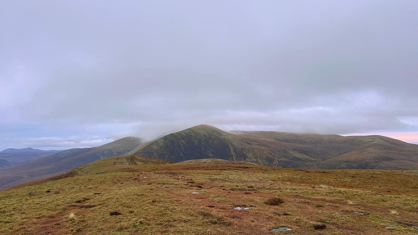
The big hill right beside you, with the cloud sitting on its top, is Ben Wyvis. It’s a Munro, and the app calls it a sensible first one. So if Little Wyvis goes well for you, the next step is stood right there looking at you.
The way back
We stayed at the top about 10 minutes. There was a weather warning out, and we wanted to get back down before the storm came in.
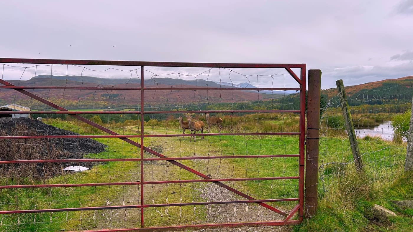
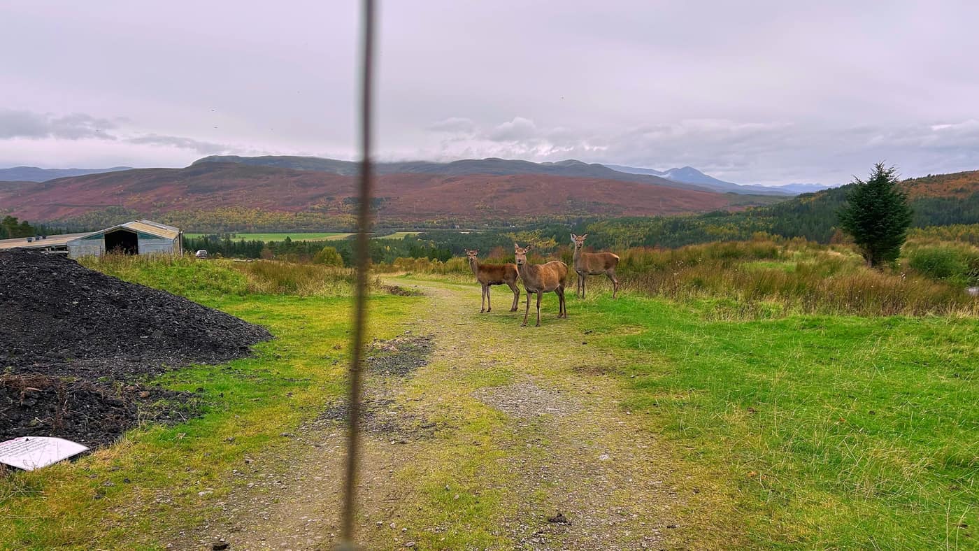
The way down was worth it, back the way we came up, same rule as always. Down by the gate near the barn we came across some red deer who had no fear. They stood on the track and watched us, and we managed to get some photos and footage of them.
Worth knowing
It’s about 9.5 kilometres there and back with 644 metres of climbing, and the 3 hours 20 minutes is our pace, with Katrina and Chase. The car park is at Silverbridge on the A835, and you have to cross the main road to start the walk, so take care there. At the second gate, use the gate, not the grating beside it, which isn’t safe. After the gate where the path splits, go left, not right to the radio tower. And check the forecast before you go. We had a weather warning on the day and kept our time at the top short because of it.
The star
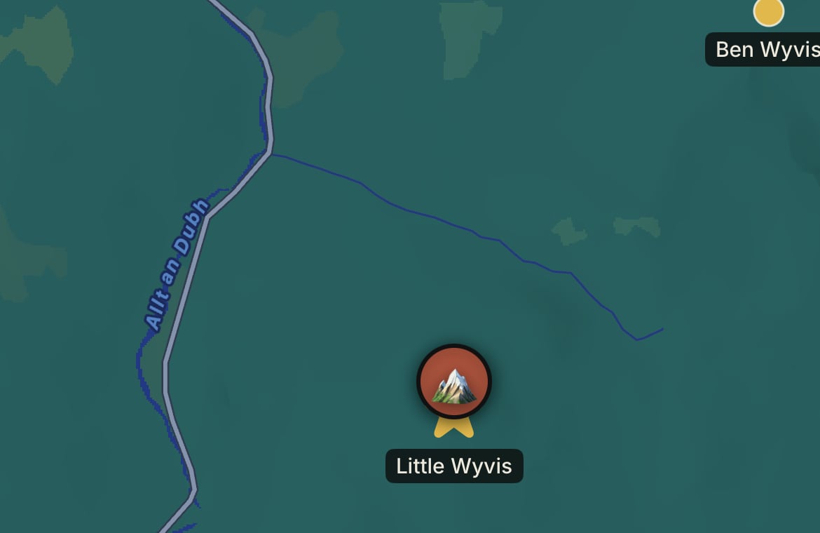
Another star on the map, and a new badge earned — Corbett bagged. On the map you can see how close Ben Wyvis is — it’s sitting right above it.
Take the tick list with you.