Mount Keen
- Height
- 939 m
- Grade
- Average
- Round trip
- 3 hr 58 min
- Distance
- about 17 km there and back
- Ascent
- 830 m
- Steps
- 21,539
- Start
- Invermark, Glen Esk
- Region
- Angus
Times are my own pace.
Always go back down the way you came up. Same rule as every walk on here, and it matters more especially when you’re in the bigger hills — and more so when you’re on your own.
Mount Keen is a Munro of 939 metres at the top of Glen Esk in Angus, and it’s Scotland’s most easterly one. It’s my first Munro since building the app.
This one was a change of plan. The weather chased us off the hill we’d meant to do, and as it turned out we picked a stunning day for it. Just me and Chase today.
Getting parked
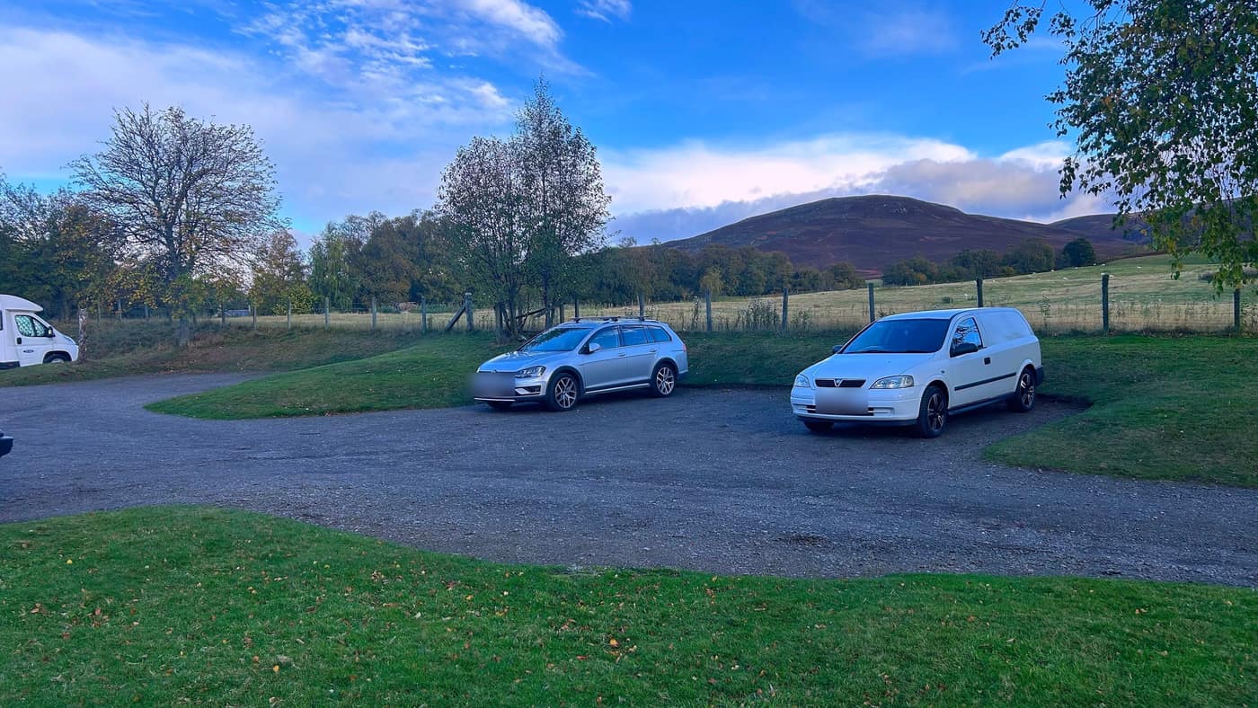
An early start, this one. I set off from Elgin at roughly 6:15am and arrived just after 9, so the day starts long before the walking does. The app took me to the doorstep. The car park is at Invermark, right at the end of Glen Esk — and it really is the end, the dead-end signs aren’t kidding. The road runs out and the hills take over.
There’s a good-sized gravel car park either side of the road, and just after nine on a Saturday there was a motorhome, a couple of cars and that was it.
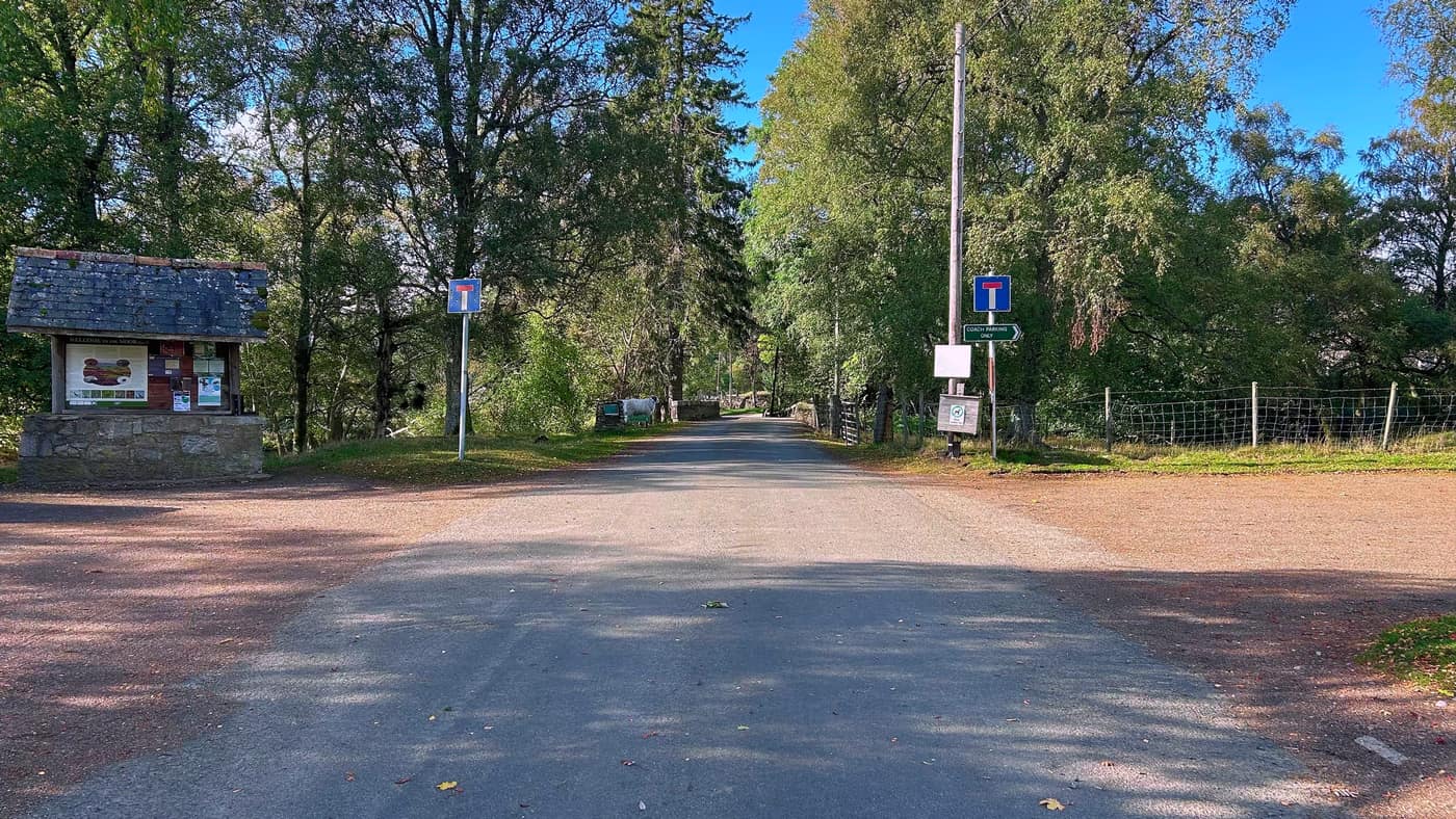
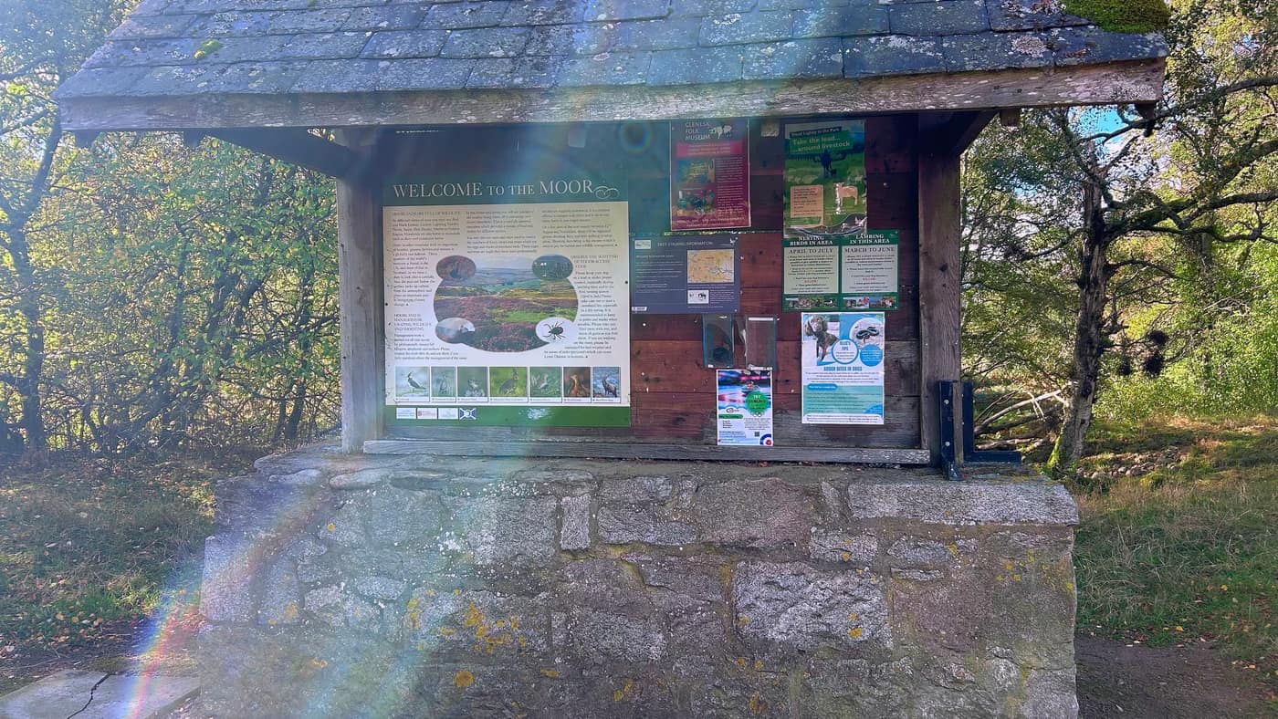
Before you set off, it’s worth a minute at the Welcome to the Moor board by the entrance. This is a working estate, and the board carries its deer stalking information — the shooting and stalking days run from August into November, so right through autumn — along with notices about keeping dogs on a lead around livestock, and a poster about adder bites in dogs. If you’ve got a dog with you like I had, that board is for you.
Onto the track
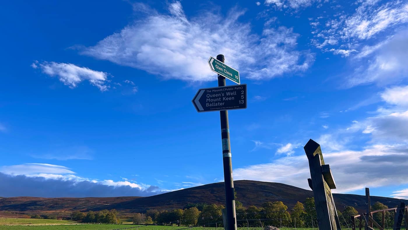
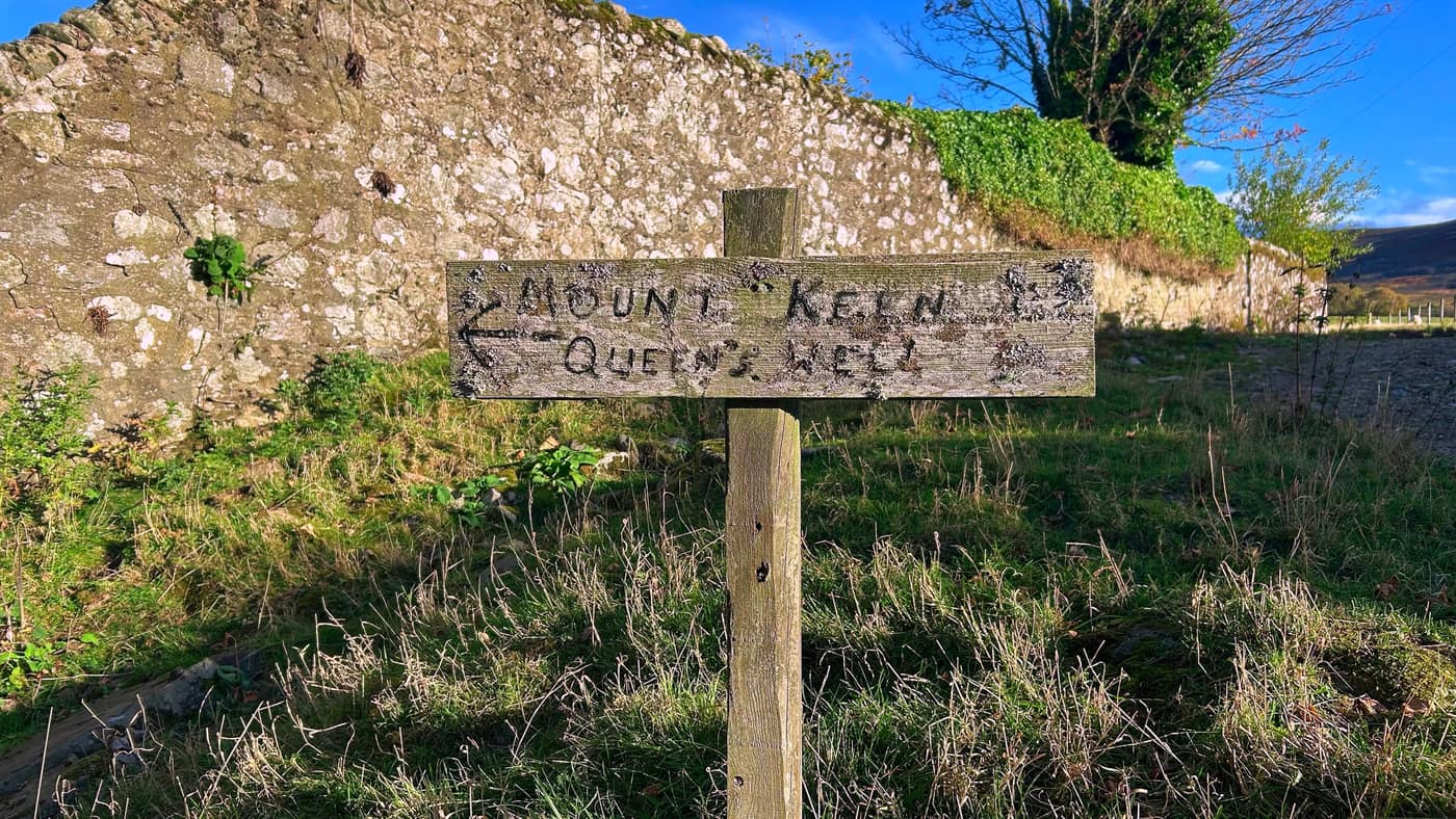
From the car park, head down the dead-end road until you see the signs on your right. There’s a proper signpost — Glen Clova off one way, and The Mounth public path the other, with the Queen’s Well marked at 2 miles and Mount Keen at 5. And in case you doubted it, there’s an old hand-painted wooden sign by the stone wall saying the same thing: Mount Keen and Queen’s Well, that way.
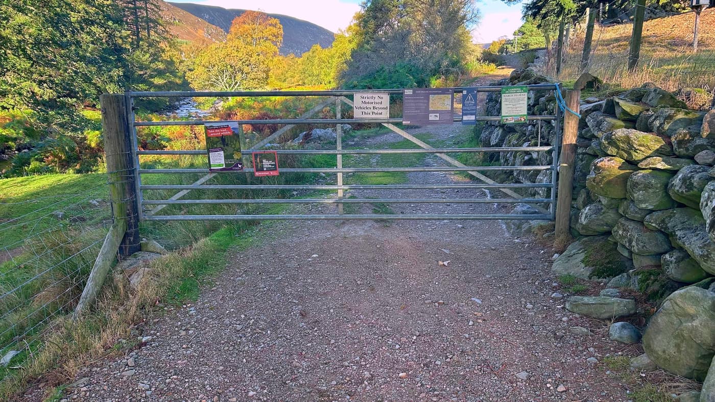
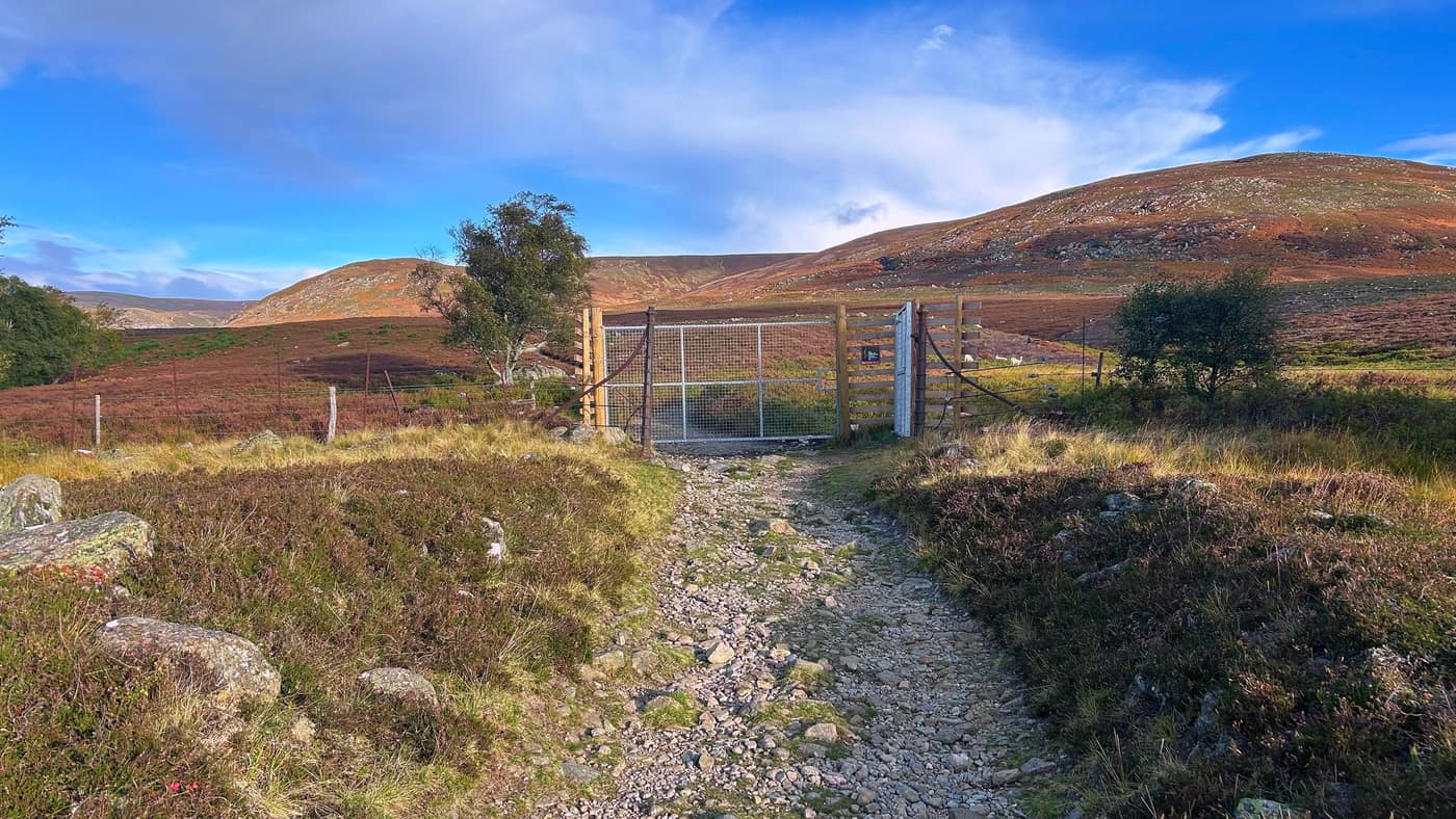
A bit further on you reach a long metal gate across the track — strictly no vehicles beyond this point — hung with the estate’s notices: the stalking information again, dogs on leads around wildlife, lambing in spring, no fires.
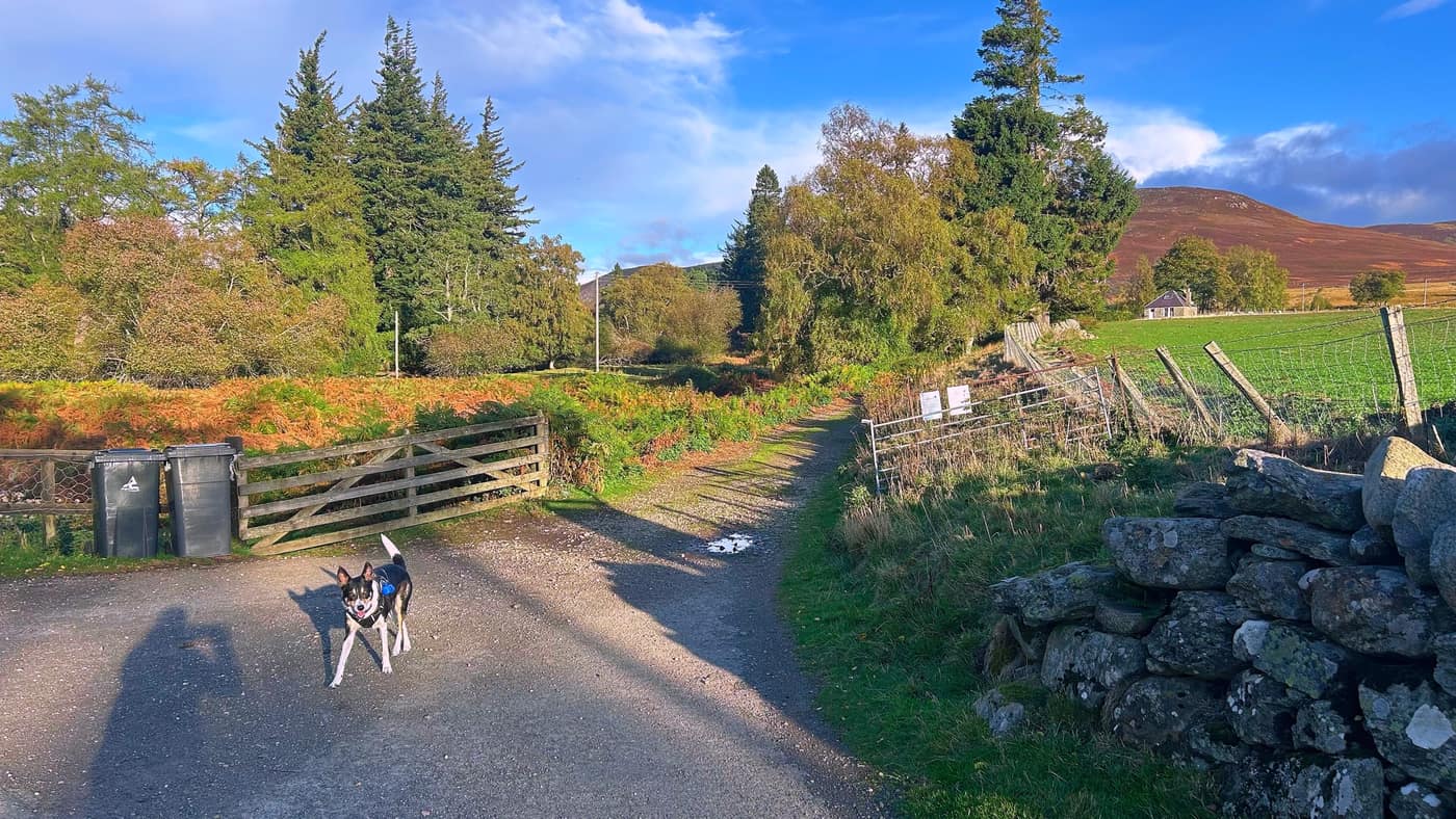
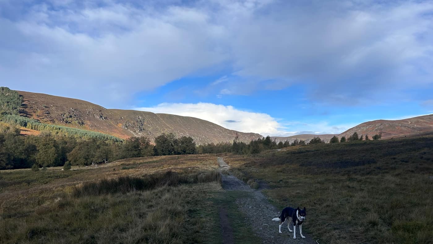
Past the gate, take the track straight in front of you — the one heading off to the right takes you in amongst the sheep. Chase was out in front showing the way.
To the next gate
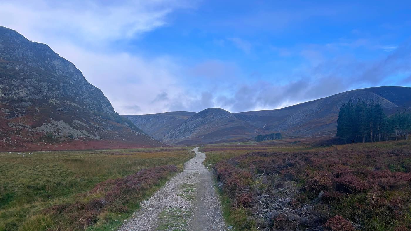
From here it’s a straightforward walk to the next gate, the path stony underfoot and easy enough to follow with the glen rising on both sides.
Through Glen Mark
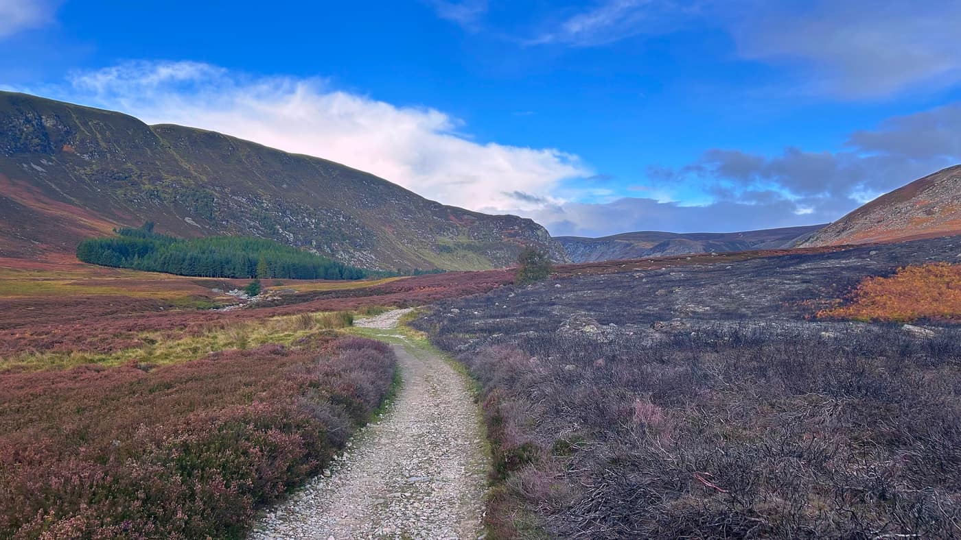
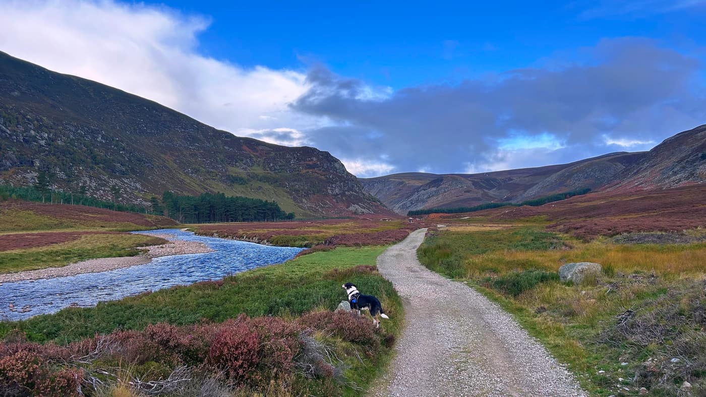
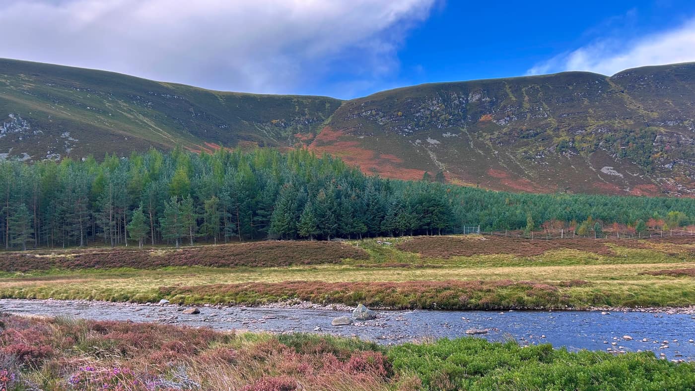
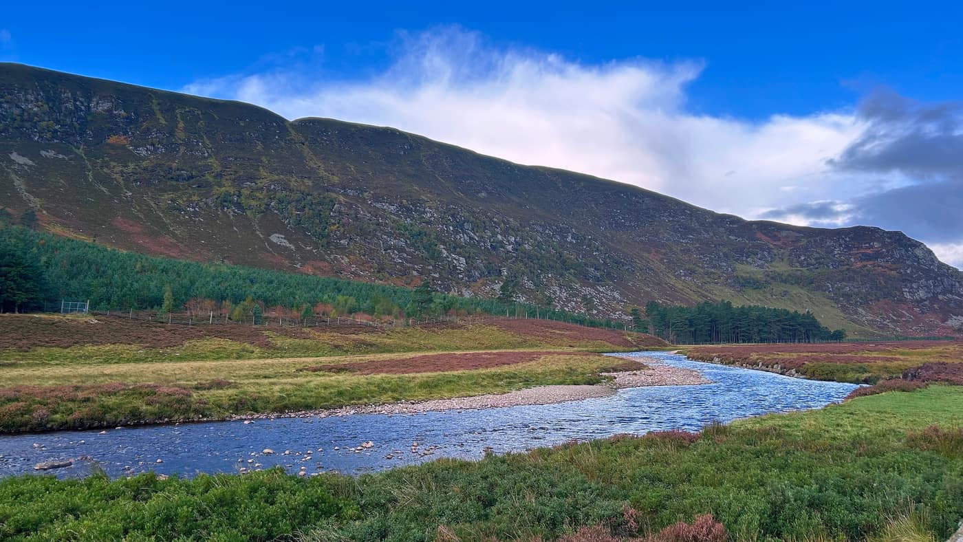
From here it was just a case of soaking in the scenery. The river running alongside the track is the Water of Mark — it comes down the length of the glen and meets the Water of Lee back at Invermark, and between them they become the River North Esk. The track follows the water on a good flat surface, with the heather still holding some colour and the glen slowly narrowing ahead of you.
The Queen’s Well
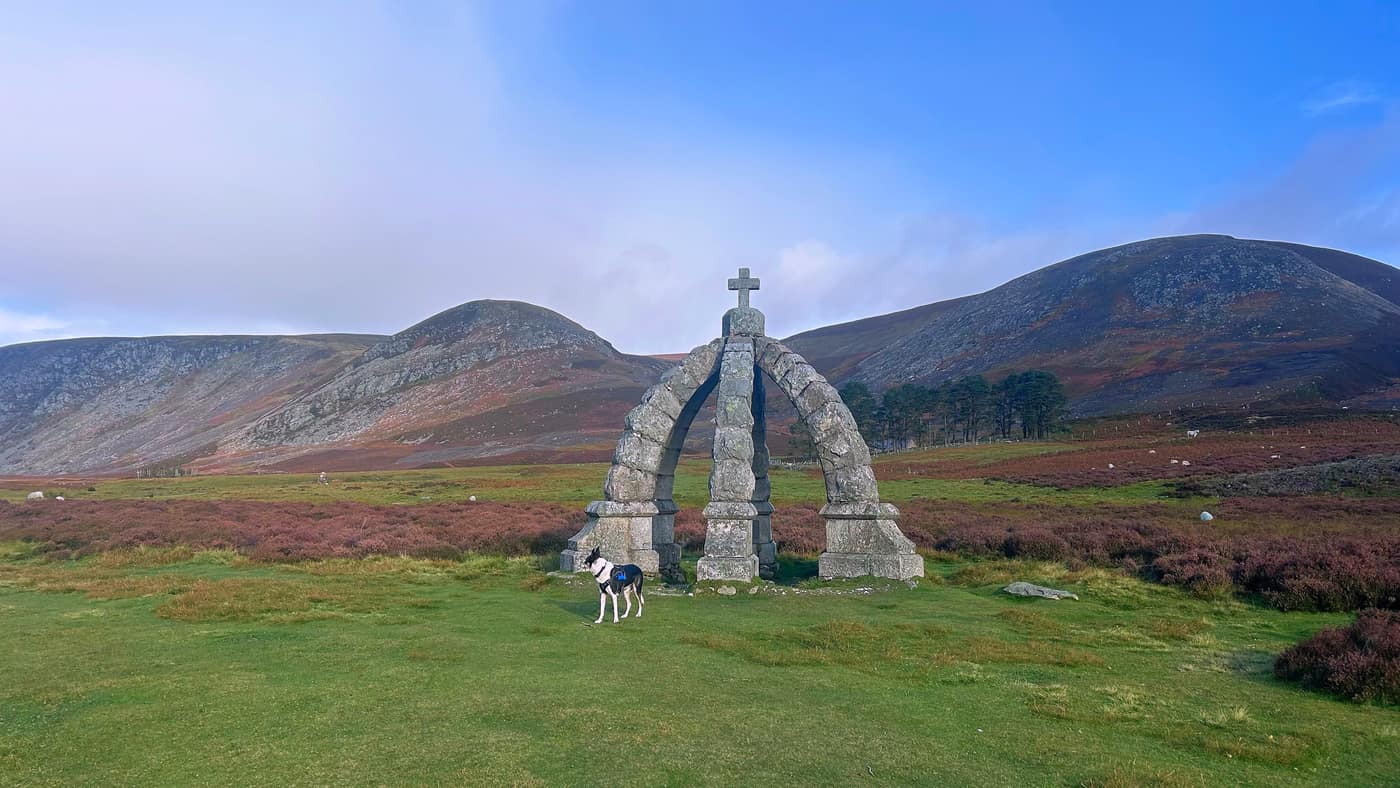
About 40 minutes of walking brings you to the Queen’s Well, and you’ll see it long before you reach it — a granite crown standing on its own in the middle of the glen, with nothing else around it for company.
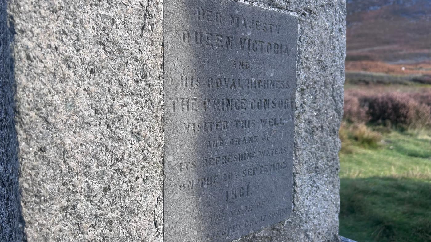
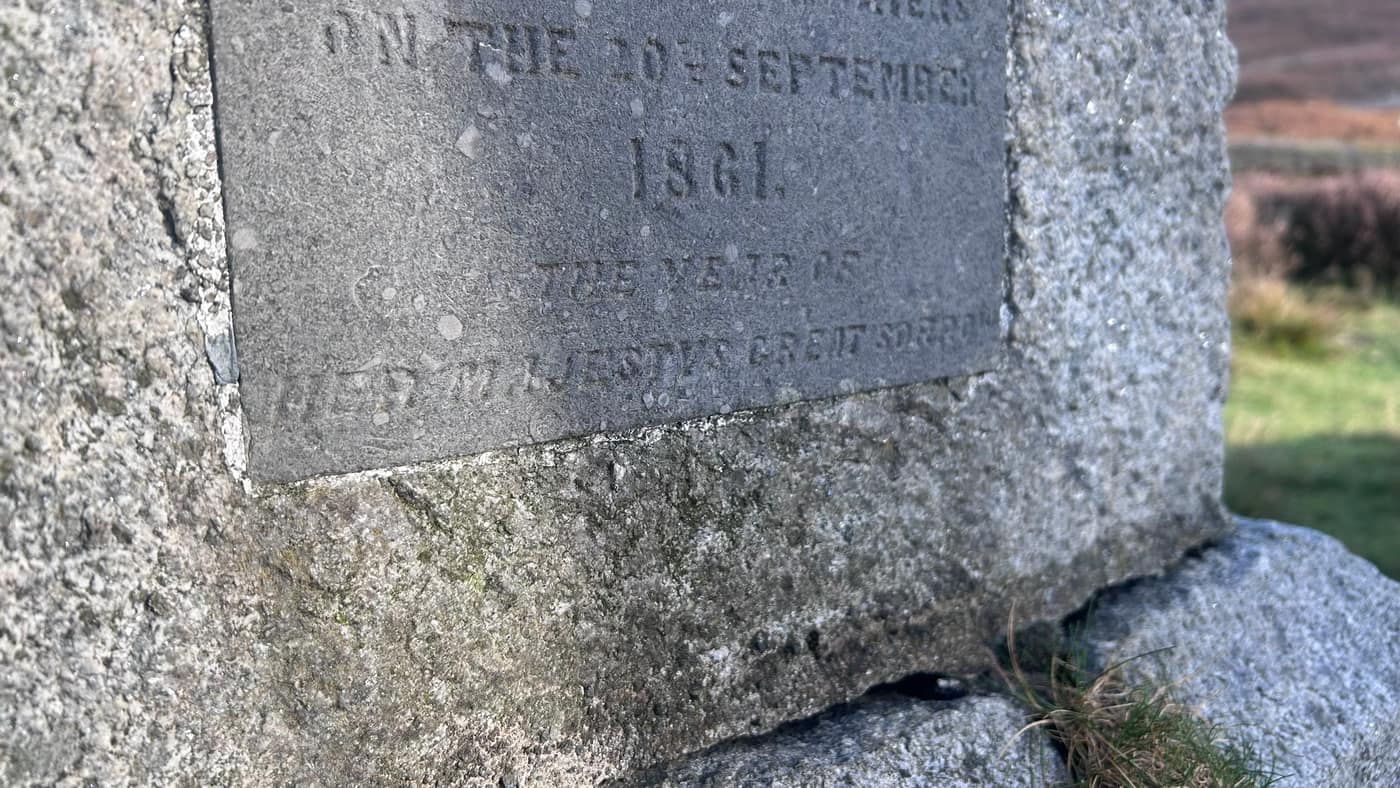
The history is on the plaque. Queen Victoria and Prince Albert stopped here on 20 September 1861, on their way over the Mounth from Balmoral, and drank from the well — the monument was built to mark the visit. The plaque ends with “the year of Her Majesty’s great sorrow”. Albert died that December, less than three months after the two of them stood here.
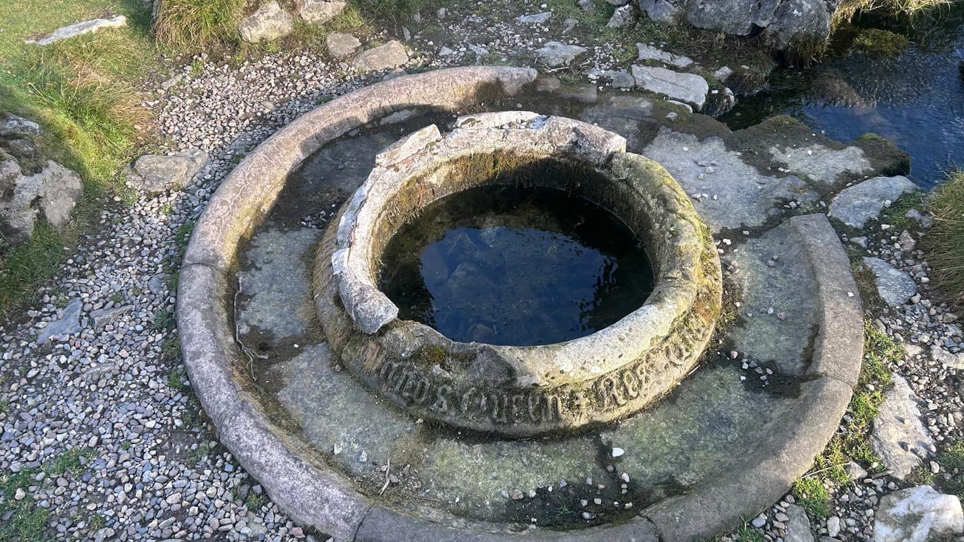
The well itself is still there under the crown, a stone basin with a worn inscription running round the rim. It’s a strange thing to come across in the middle of nowhere, and worth the stop.
The lodge
Keep going past the well and you come to a lodge sitting on its own at the foot of the hill, a drystone wall round it and a green door on it. It’s the last building you’ll pass all day, and the route goes up behind it.
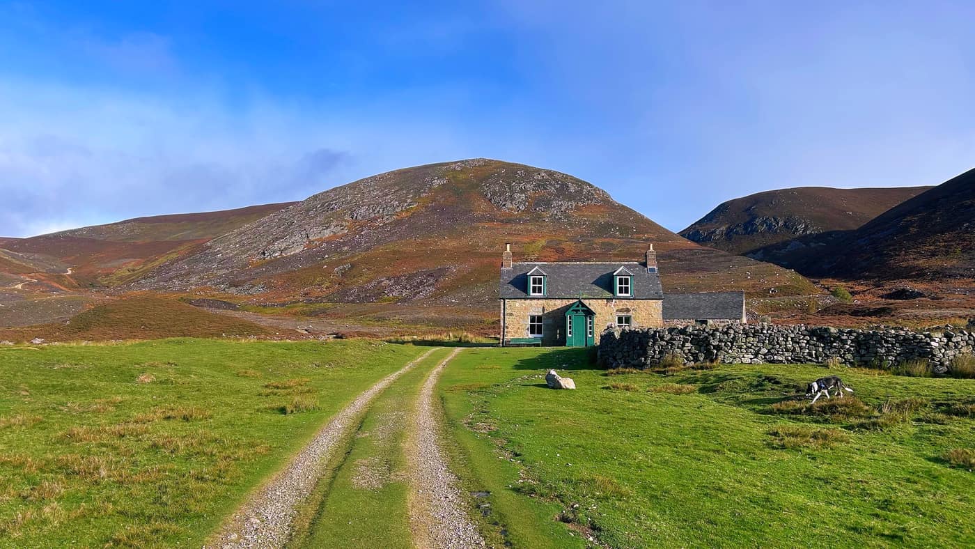
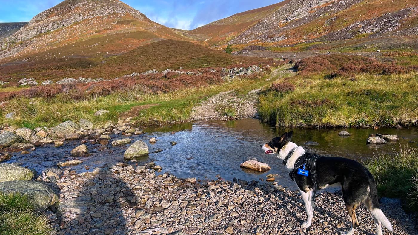
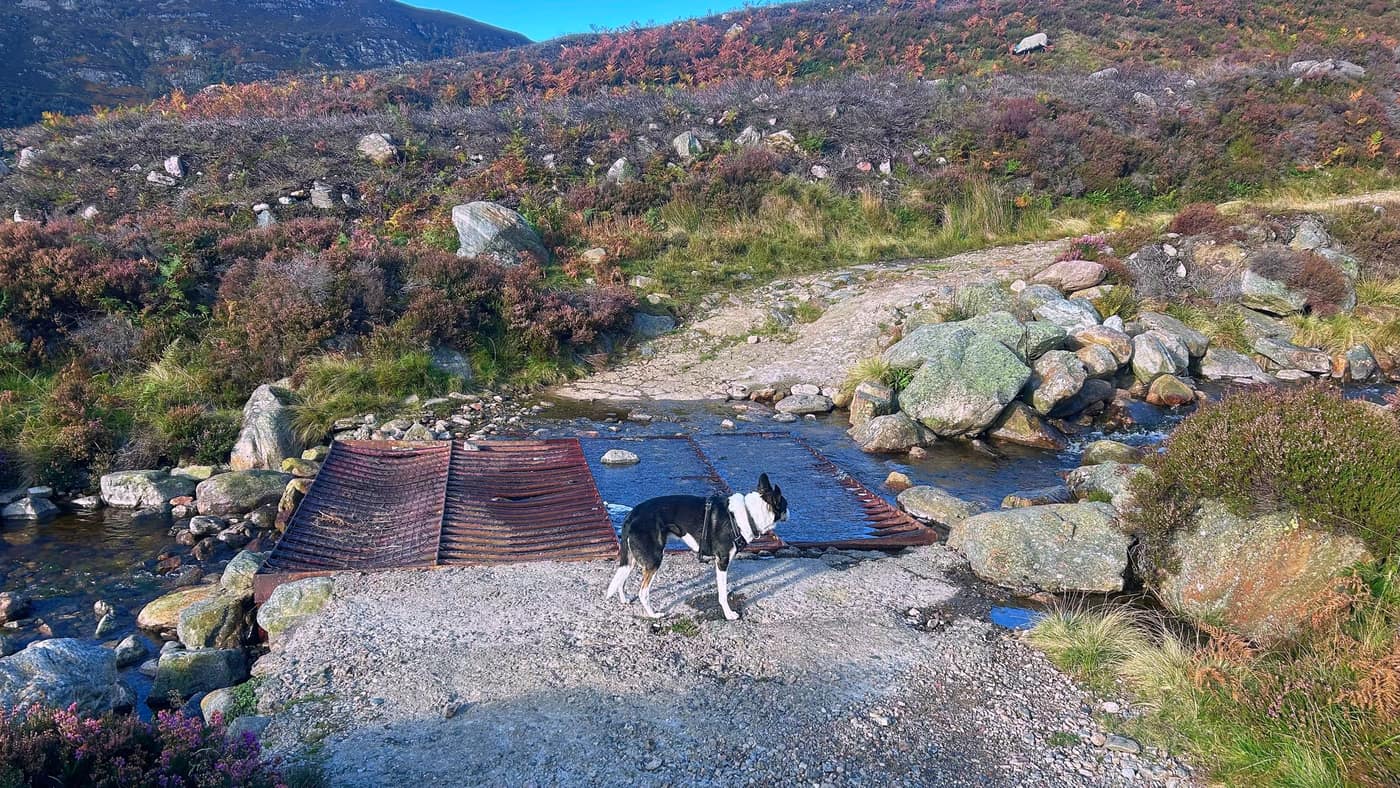
Just after the lodge there are two burn crossings close together — one on stepping stones, one over an old metal ford — and this is where the climb starts. The track’s straightforward though, and you can see it winding up the hillside ahead of you.
It’s locked up, by the way — two lads were having a look around it when I passed, and they’d already checked.
The climb
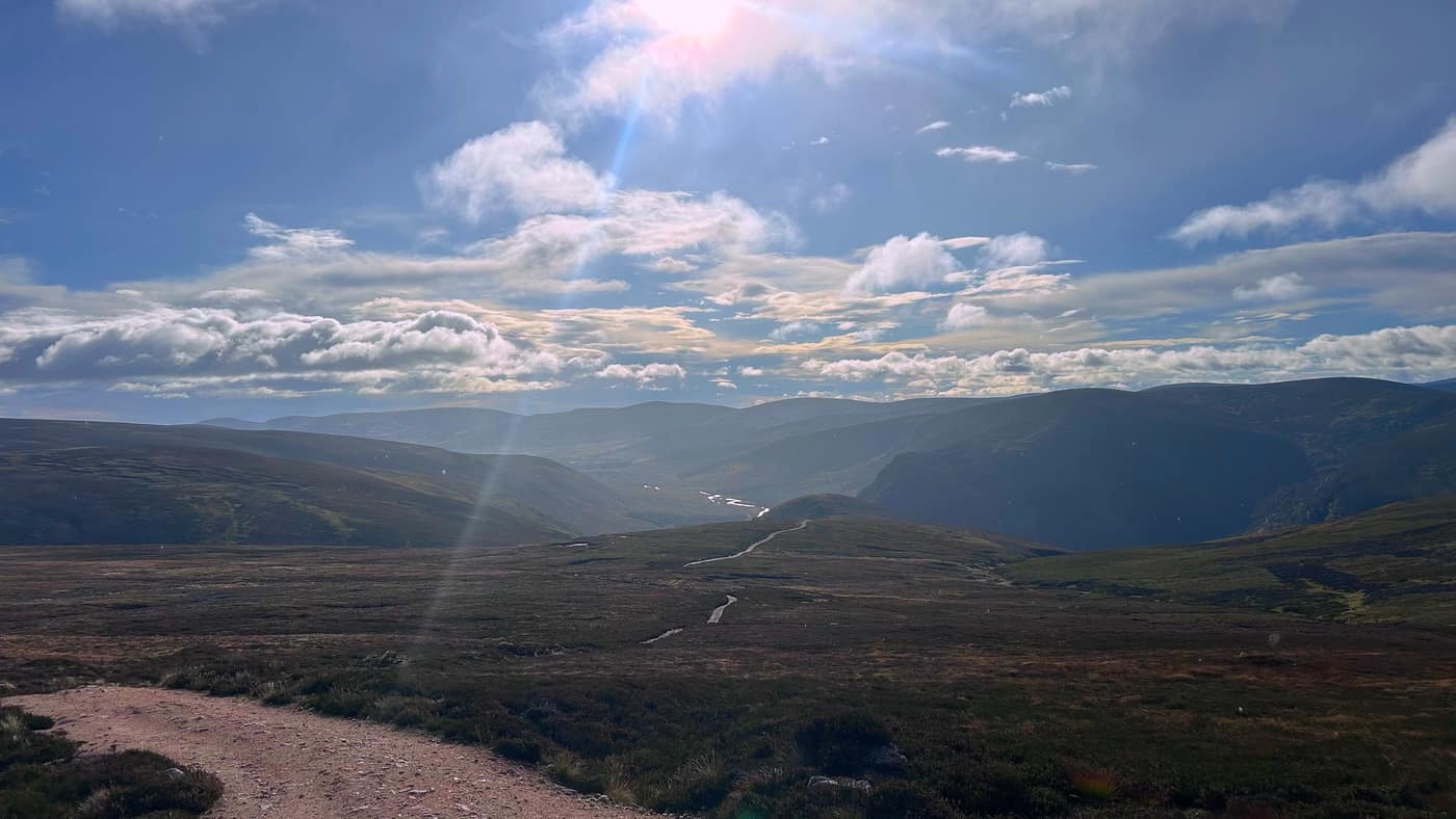
The path climbs steadily away from the burn, good gravel the whole way, and it’s worth a pause every ten minutes or so to look back and take in the view. The lodge shrinks away below you, and the whole of Glen Mark opens out behind — the river winding back the way you came, the hills stacked up either side of it.
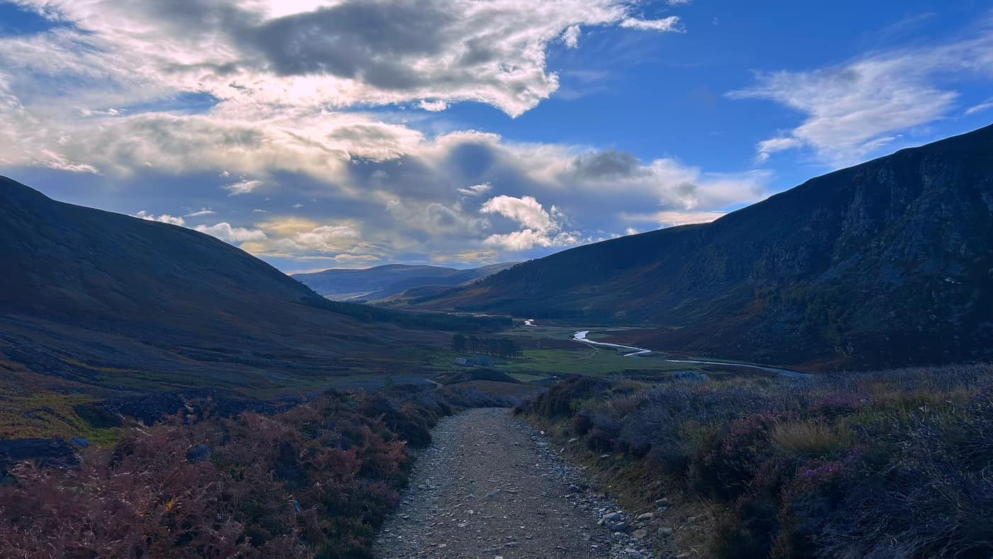
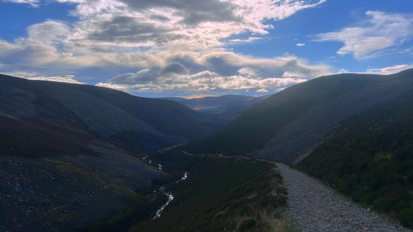
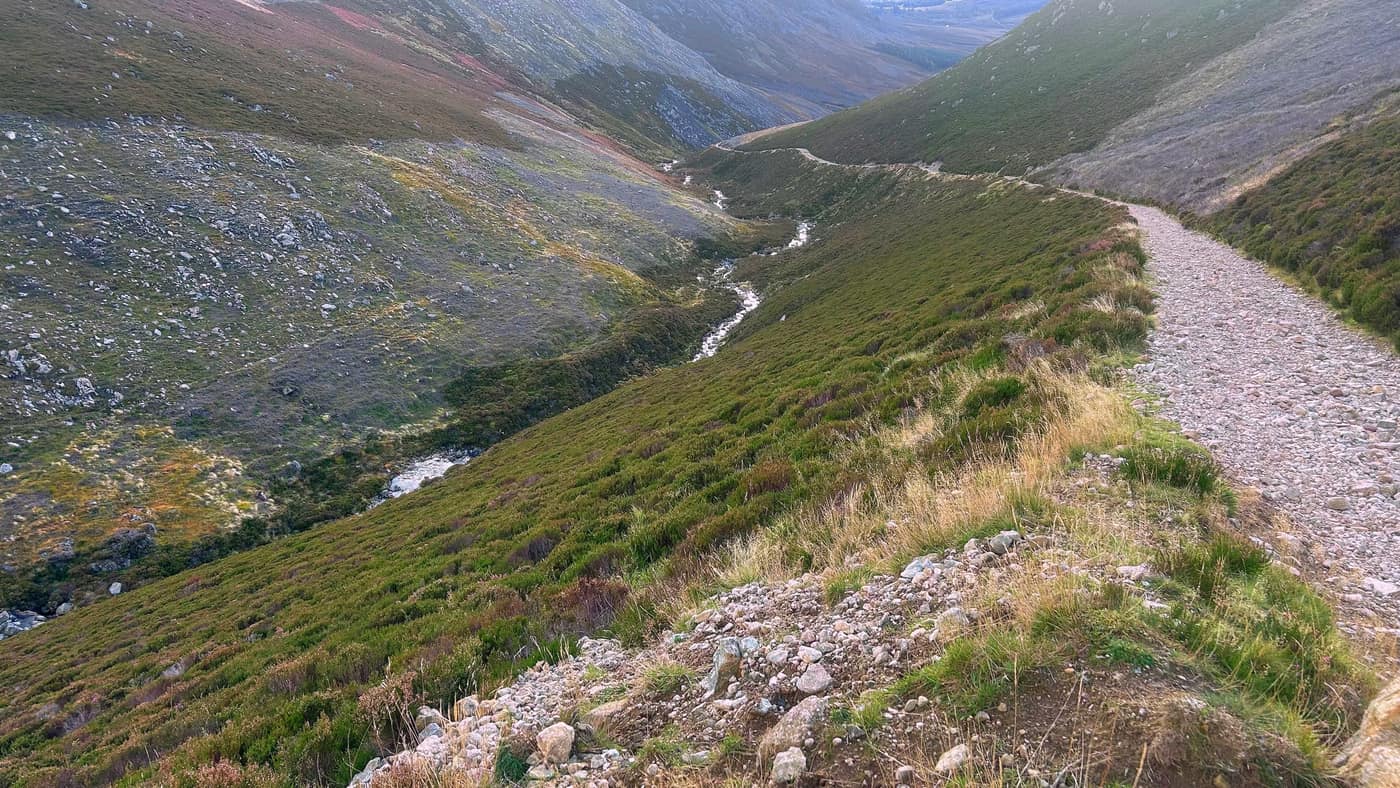
Higher up, the ground eases off onto open moor and you get your first proper sense of how high you’ve come.
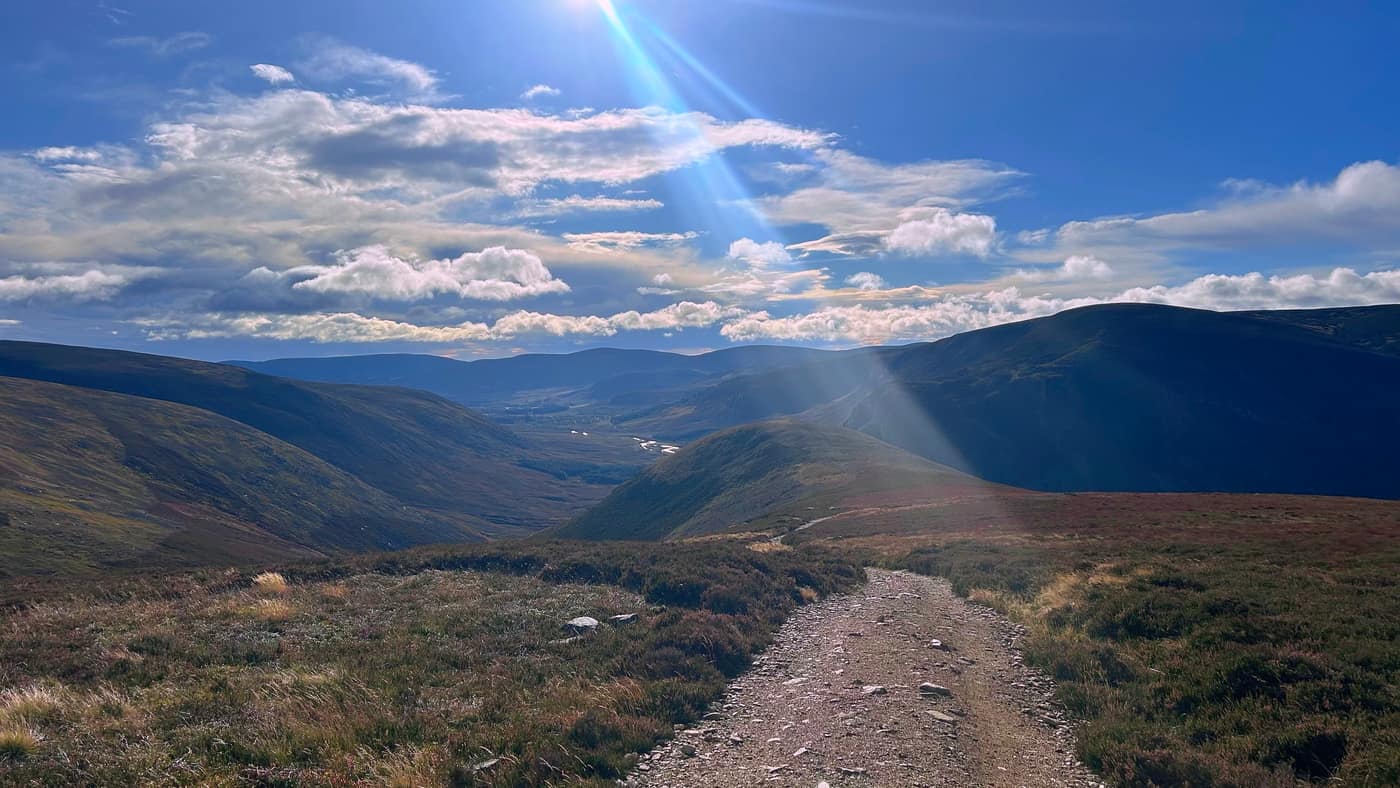
Honest opinion: the climb was easy enough for me, but I train, so that might not be the case for a beginner. I’d still recommend this as a first Munro for anyone starting out — the track is good the whole way and there’s nothing to catch you out.
Across the moor
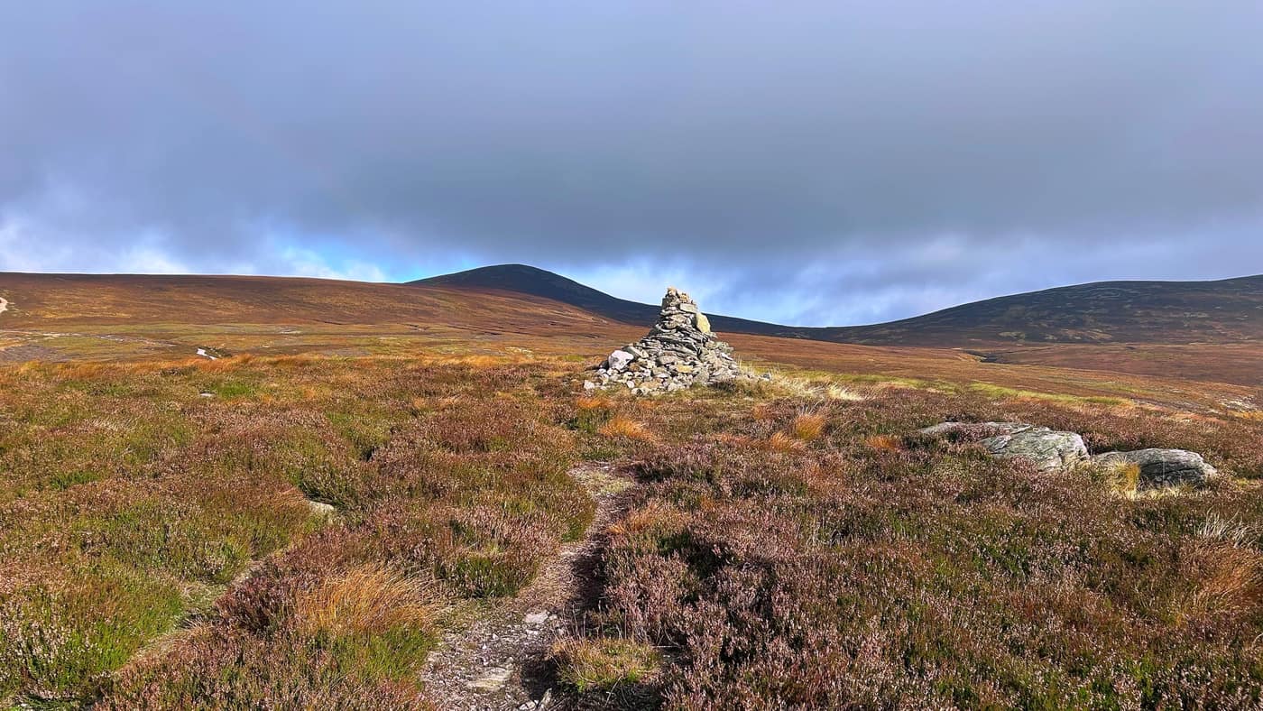
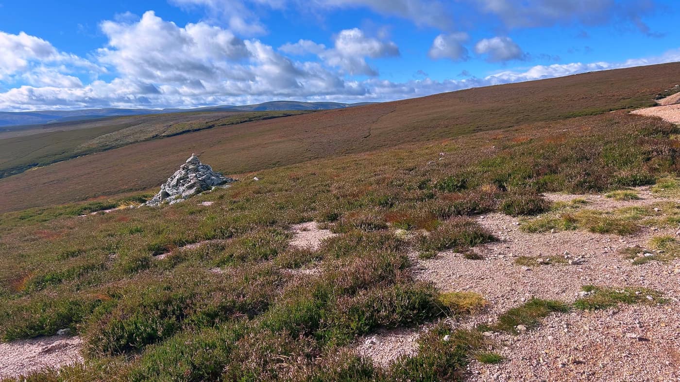
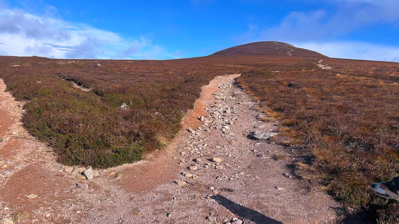
There are a couple of cairns to pass on the way up, including this one off to the right of the path. By now Mount Keen itself is ahead of you — a dark cone sitting out on the moor, with the summit path visible going up the side of it, so you can see exactly where you’re heading long before you get there.
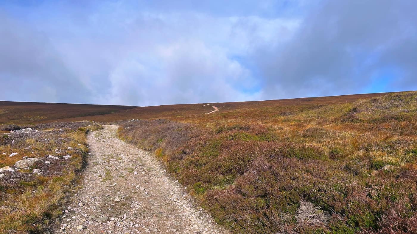
And the view back down the glen just keeps getting bigger.
The crossroads
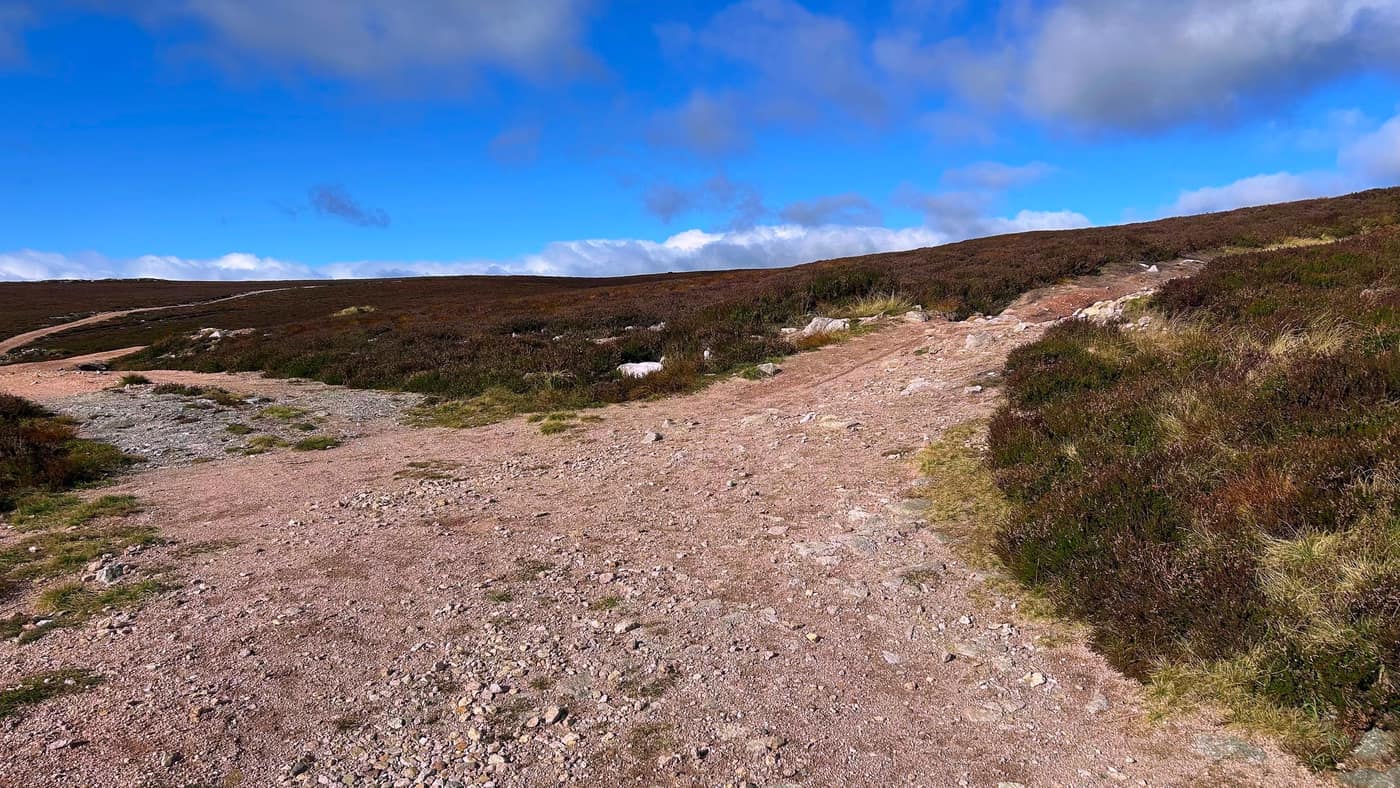
About 50 minutes from the lodge you get to the final climb up to the summit. You’ll see a cairn on your left and a crossroads in front of you — there’s no sign, but it’s obvious where to go, and it’s straight up from here.
The top
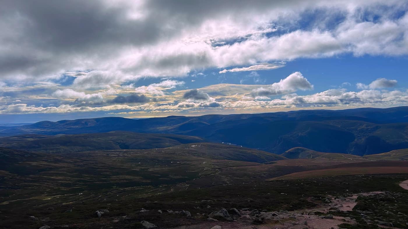
It’s about 30 minutes from the crossroads to the top, and it’s all views from here. The summit is a heap of granite boulders with the trig point sitting in the middle of them, and on a day like we got you can see the sea shining away on the horizon in one direction and hill after hill in every other.
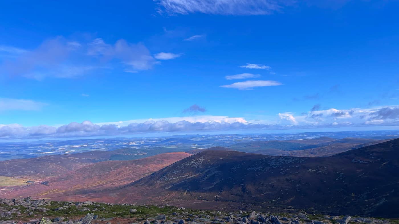
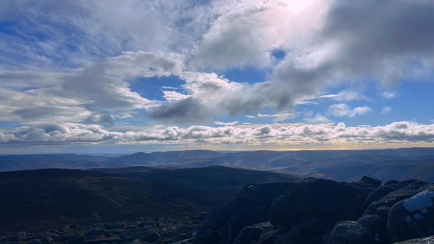
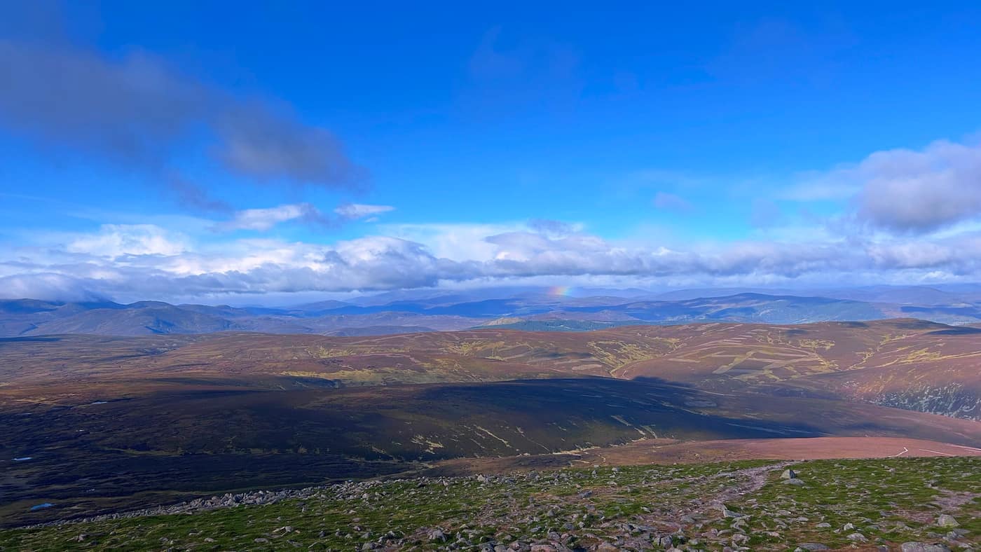
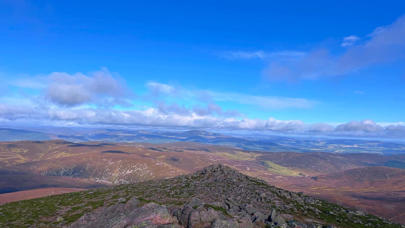
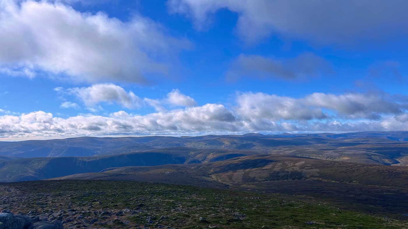
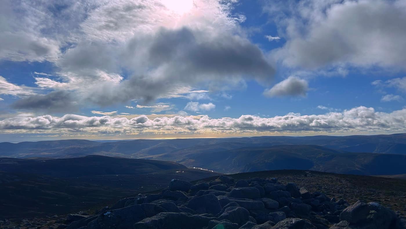
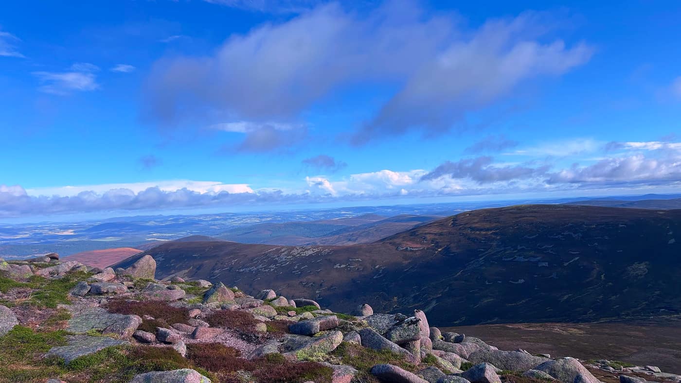
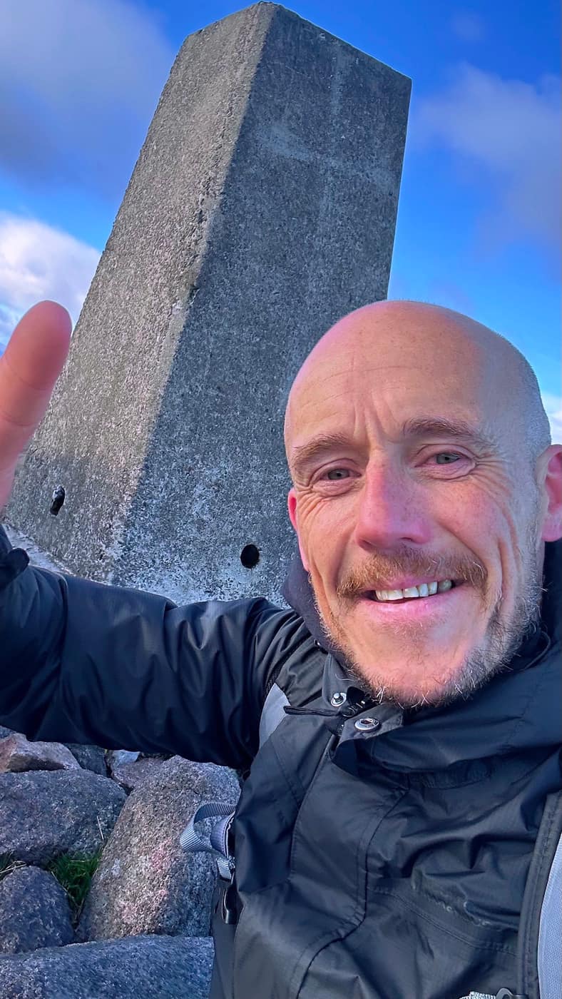
No summit photo of Chase this time — there were a lot of rocks around the trig point, it was very windy, and he wouldn’t settle. So you’ll have to make do with me.
The way back
We stopped at the top for about 15 minutes and had a bite to eat, then headed back down the way we came up — same rule as always. The views you climbed past in the morning are all still there waiting for you on the way down.
Worth knowing
It’s about 17 kilometres there and back, and the times through this post are my own pace — the app reckons 6 to 7 hours for this one, so take what you need. There’s nothing out there after the car park: the lodge is the last building you’ll pass and it’s locked, so carry what you’ll want for the day. It was very windy on the top even on a clear day, so bring a layer for the summit whatever the forecast says. And this is a working estate — the stalking season runs from August into November, so have a look at the board by the car park before you set off.
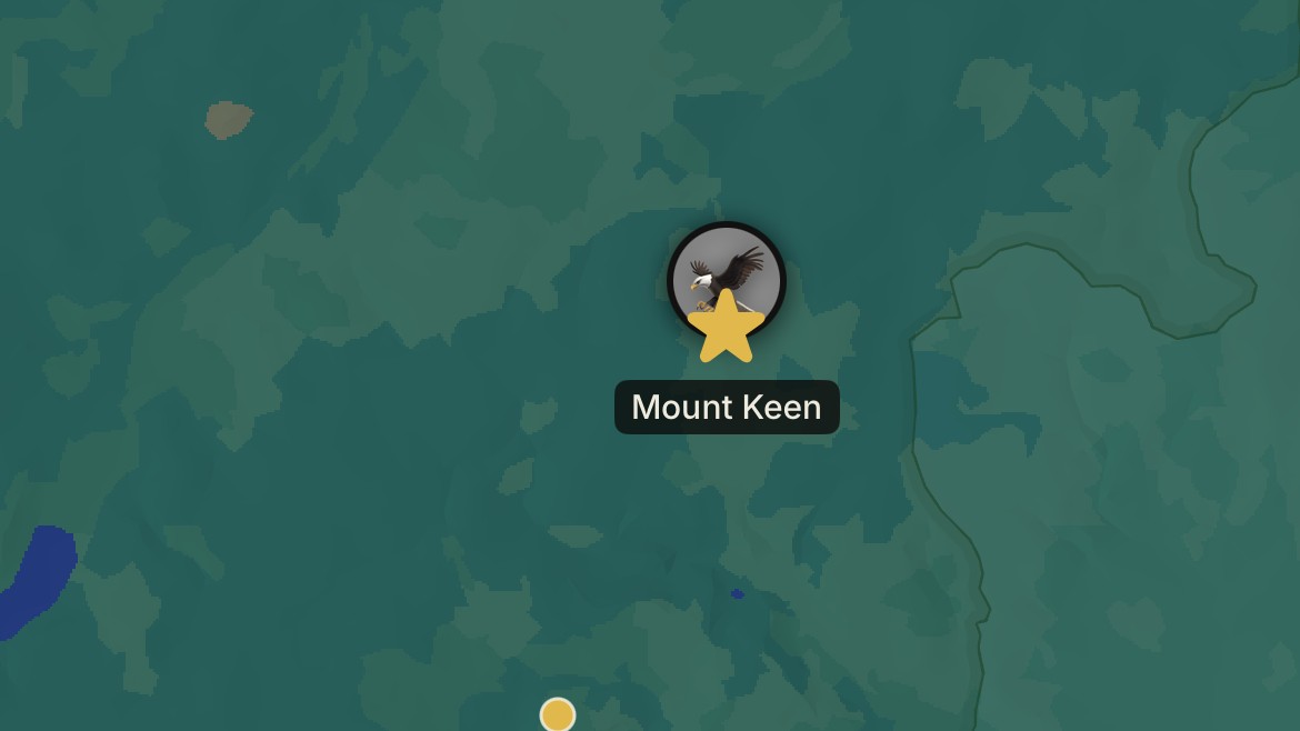
Another star on the map
That’s Mount Keen done — my first Munro since building the app, and another star on the map. Some days you get the view. This was one of those days.
Take the tick list with you.