Tap o' Noth
- Height
- 563 m
- Grade
- Beginner
- Up
- 48 min
- Distance
- 2.4 km up
- Ascent
- 298 m
- Region
- Aberdeenshire
Times are our own pace, with three kids and a dog.
Same rule as always before anything else: always go back down the way you came up. If you’re not sure of the ground, that’s the way you know.
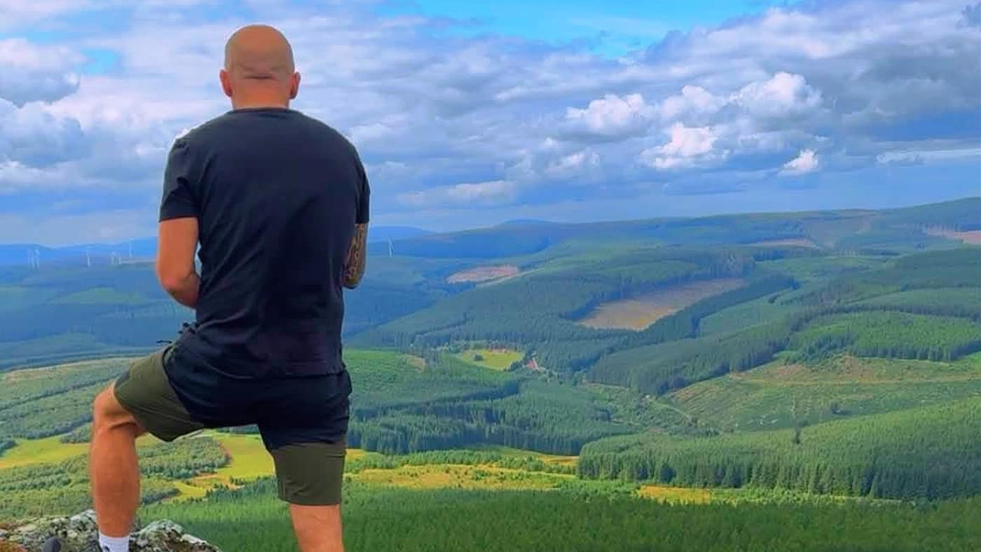
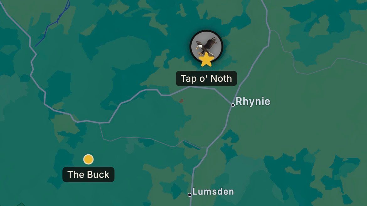
Tap o’ Noth sits above Rhynie in Aberdeenshire. It’s 563 metres, and it’s a short walk that doesn’t mess about — 298 metres of climbing in a bit over two kilometres. That’s most of the height of the Bin of Cullen in half the distance, and you feel it.
This one was a family day. Katrina came, and the kids — Ellie, Lilly and Caiden — and Chase. It was the first hill the three of them had done.
Forty-eight minutes to the top, and that was with the whole crew.
Getting parked
The car park sits at the top of a narrow dirt track off the main road, and it isn’t obvious from the road. The app did its job and took us straight to it.
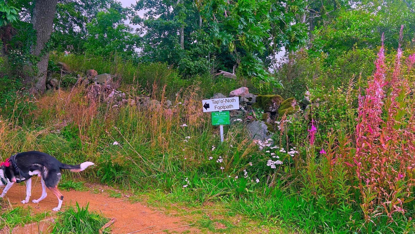
You don’t have to work out where to start, either. There’s a sign right at the car park with an arrow on it, and you’d have to be trying to miss it.
The way up
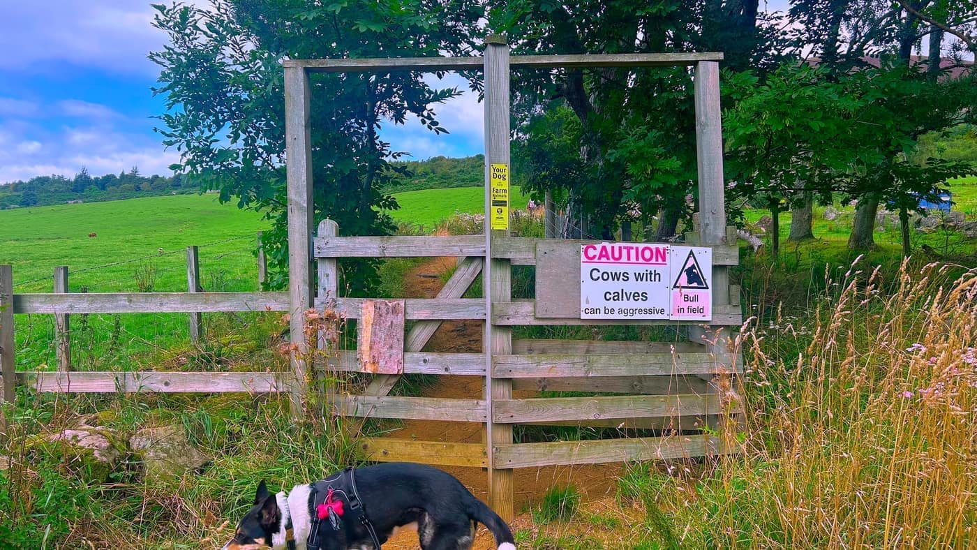
The first gate is just after the sign, and there’s a caution notice on it — cows with calves, and a bull in the field. Read it before you go through, and keep your dog on a lead past the stock.
From there you walk up a narrow sandy pathway for roughly three or four minutes until you reach a second gate, and then a third straight after, which puts you onto a grassy pathway.
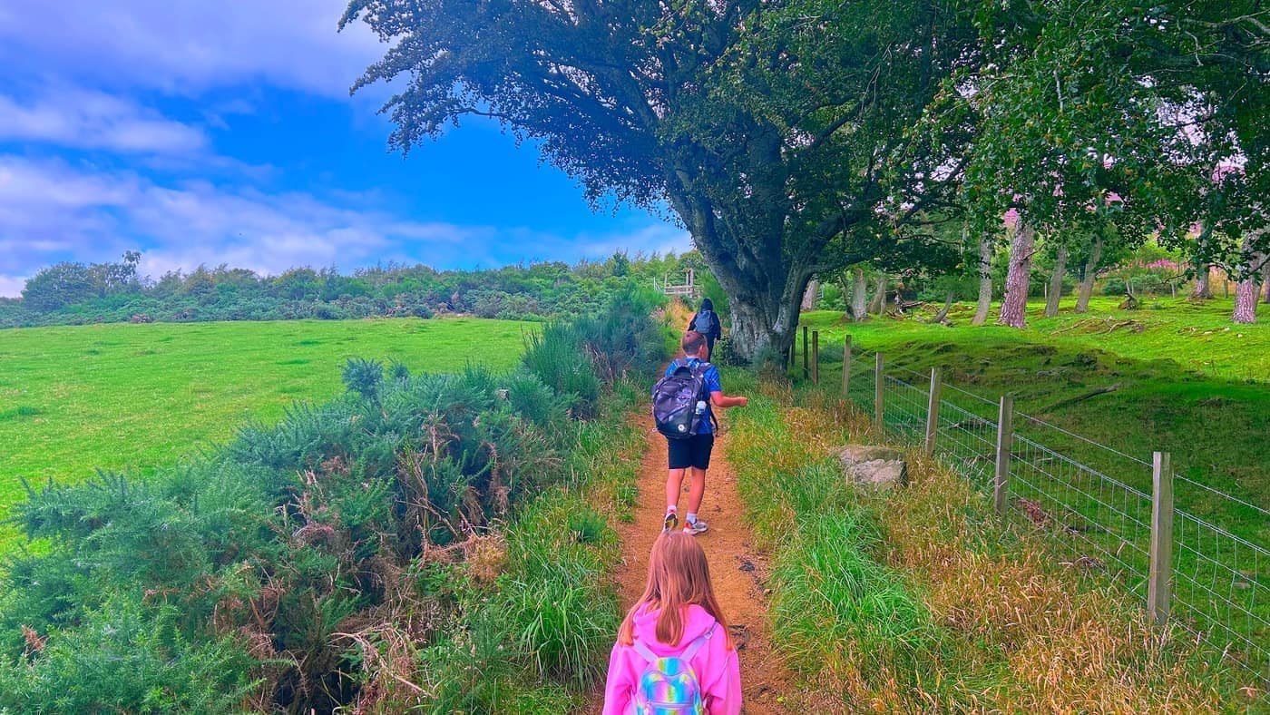
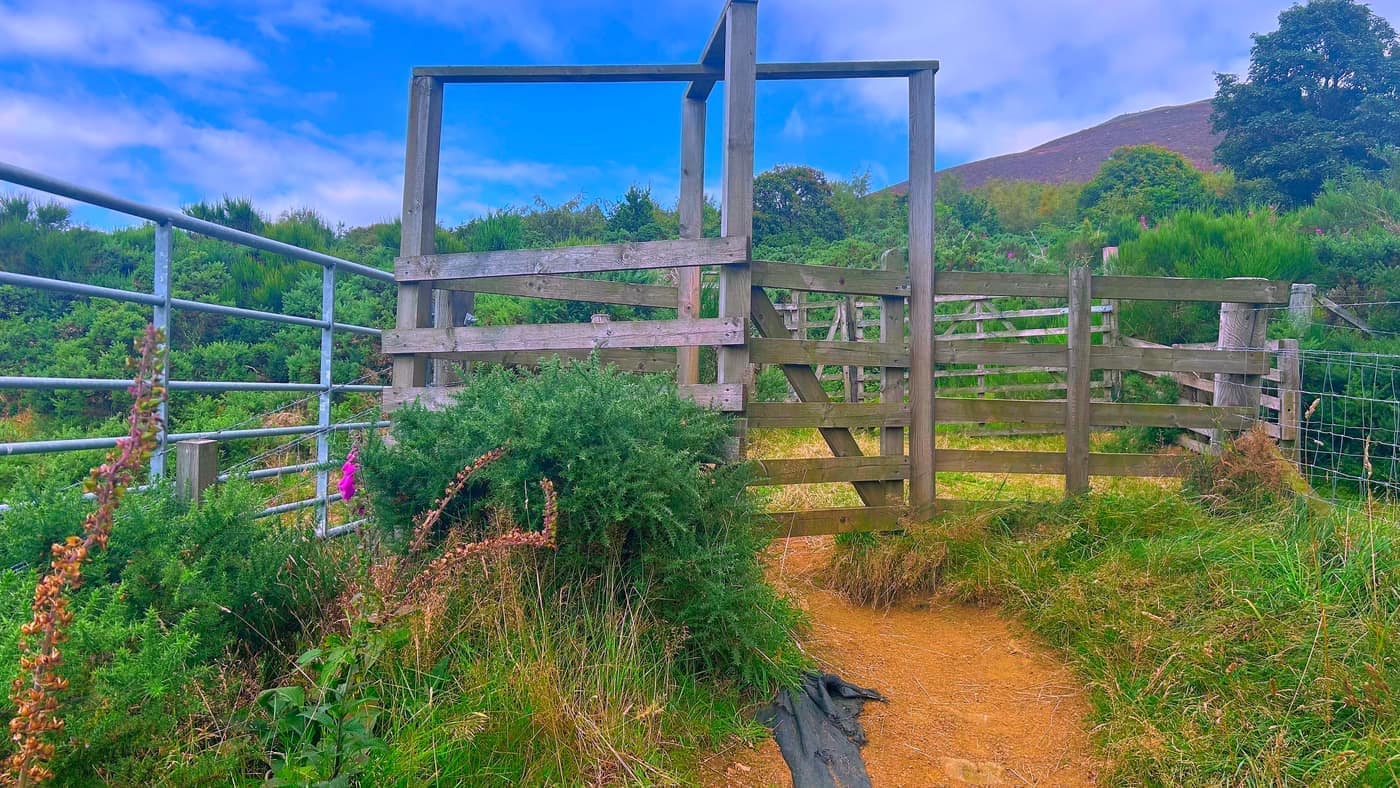
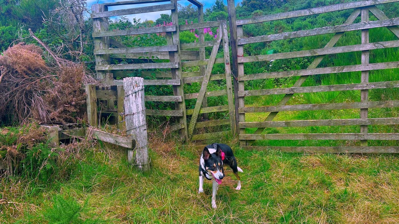
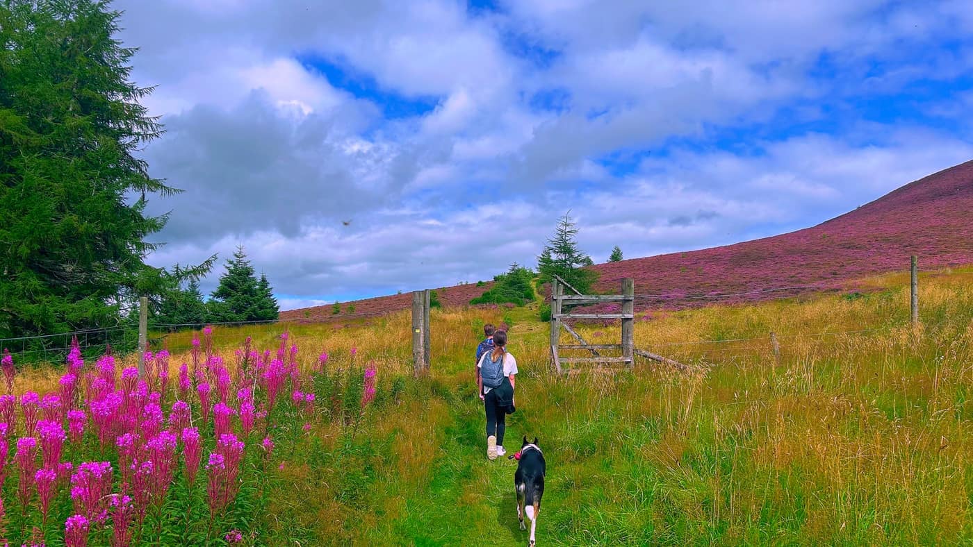
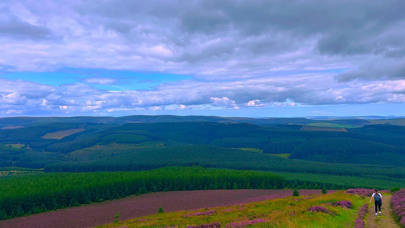
There’s another sign at that point pointing the way on, and from there it’s a seven or eight minute walk straight ahead. The fireweed was out bright pink the whole length of it, and the view starts opening up behind you as you go.
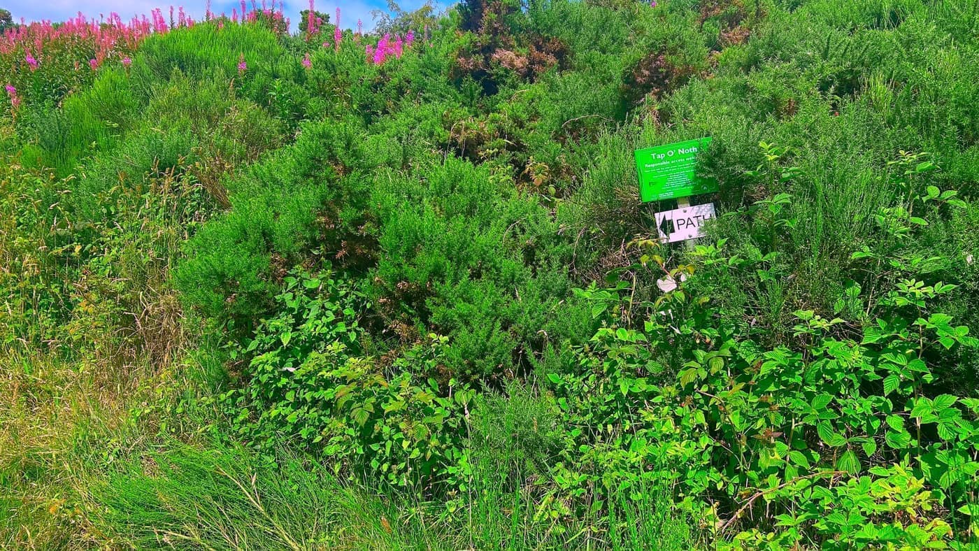
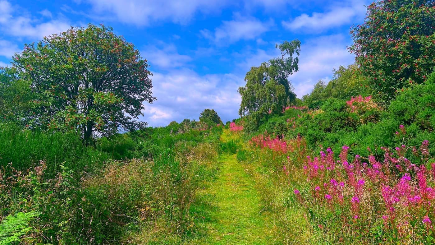
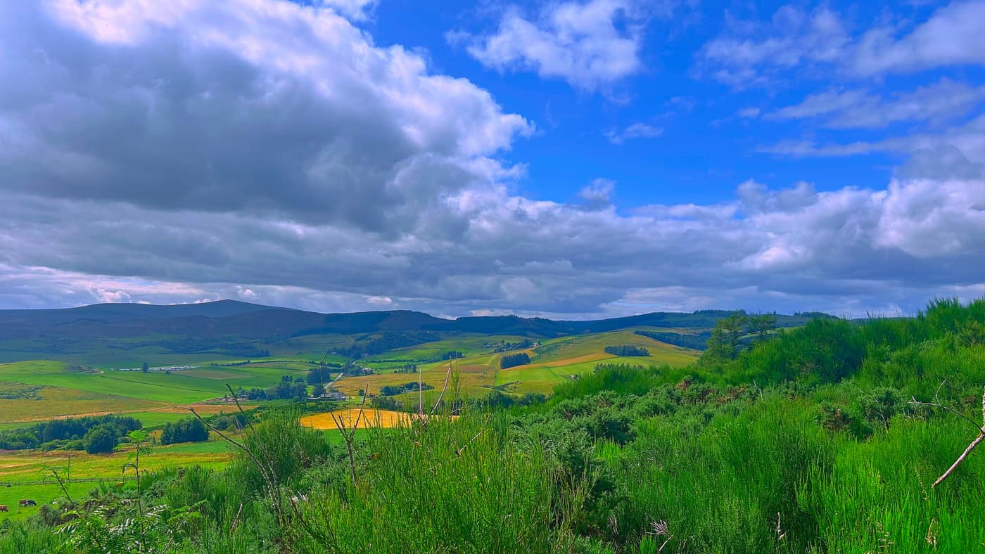
Then you get to a gate, with a path steering off to the right and a mast on the ground behind it. The right hand one is the way we went. I’m not sure where the gate led — the last thing we needed was to get lost with three kids in tow.
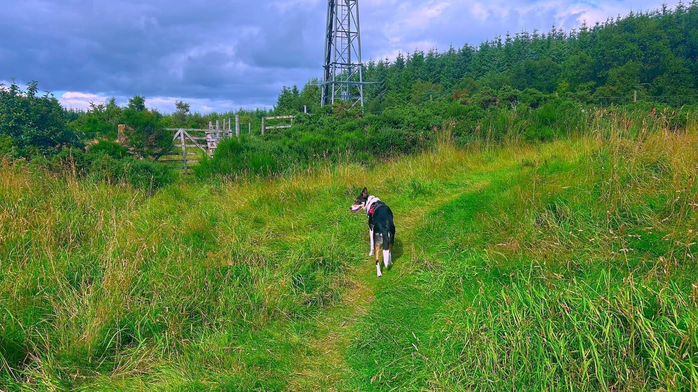
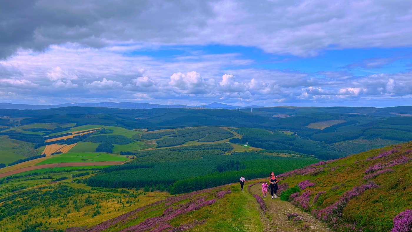
After that there’s no more guessing, because the hill is straight in front of you and the whole top of it was purple with heather.
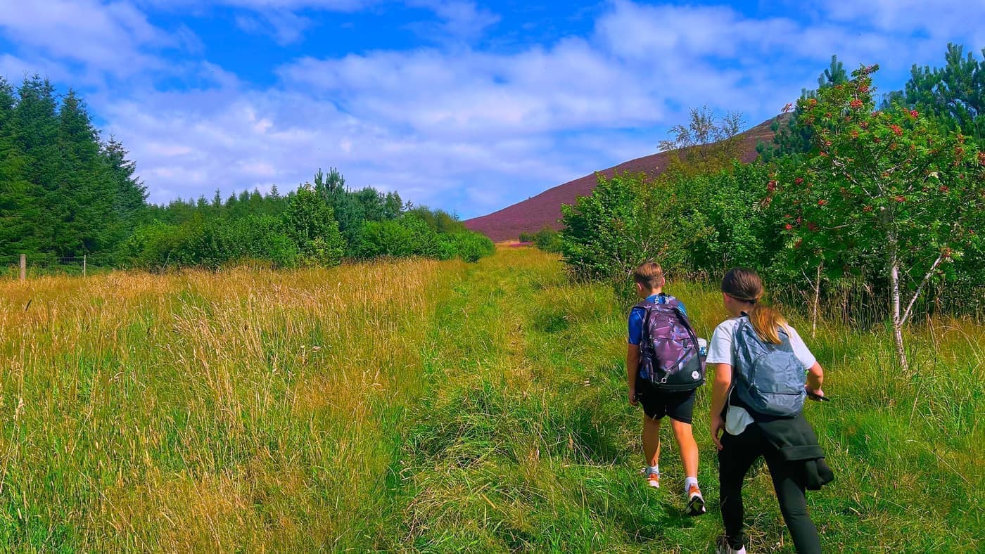
Another five minutes up the path and you reach one more gate, at the foot of the gravel pathway that runs up to the summit. This is where it steepens.
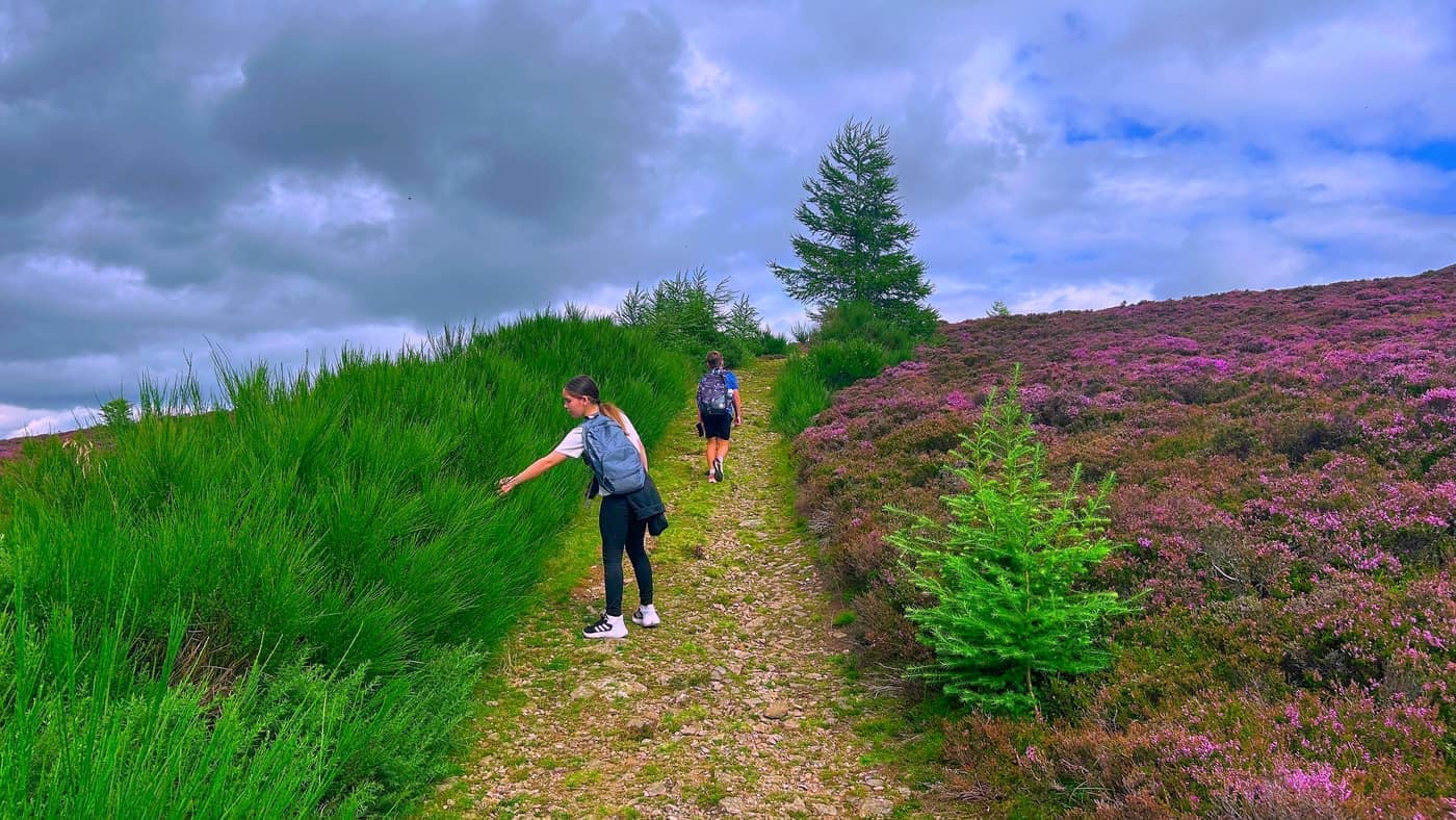
The kids had a slight moan on this stretch. “What is the point in all this, may I ask?” I said they’d understand when they got there.
This was the toughest part of the walk, especially for them.
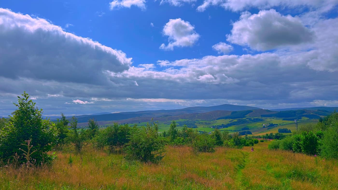
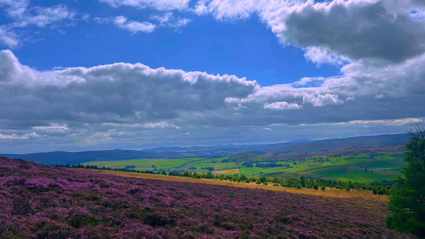
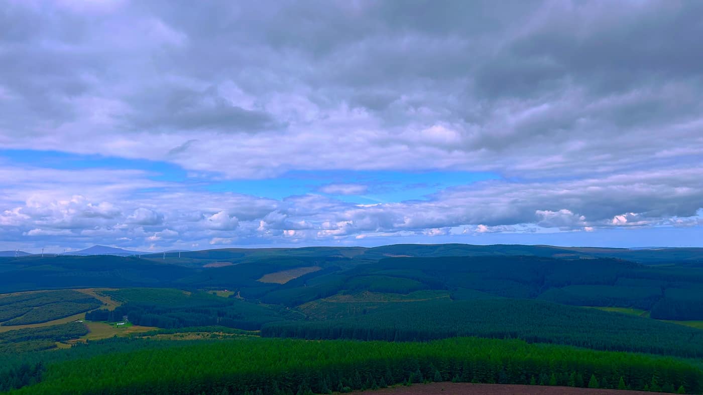
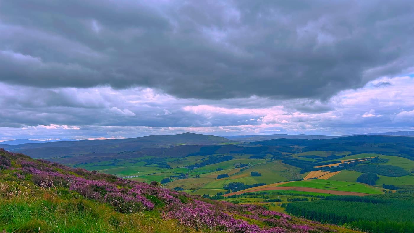
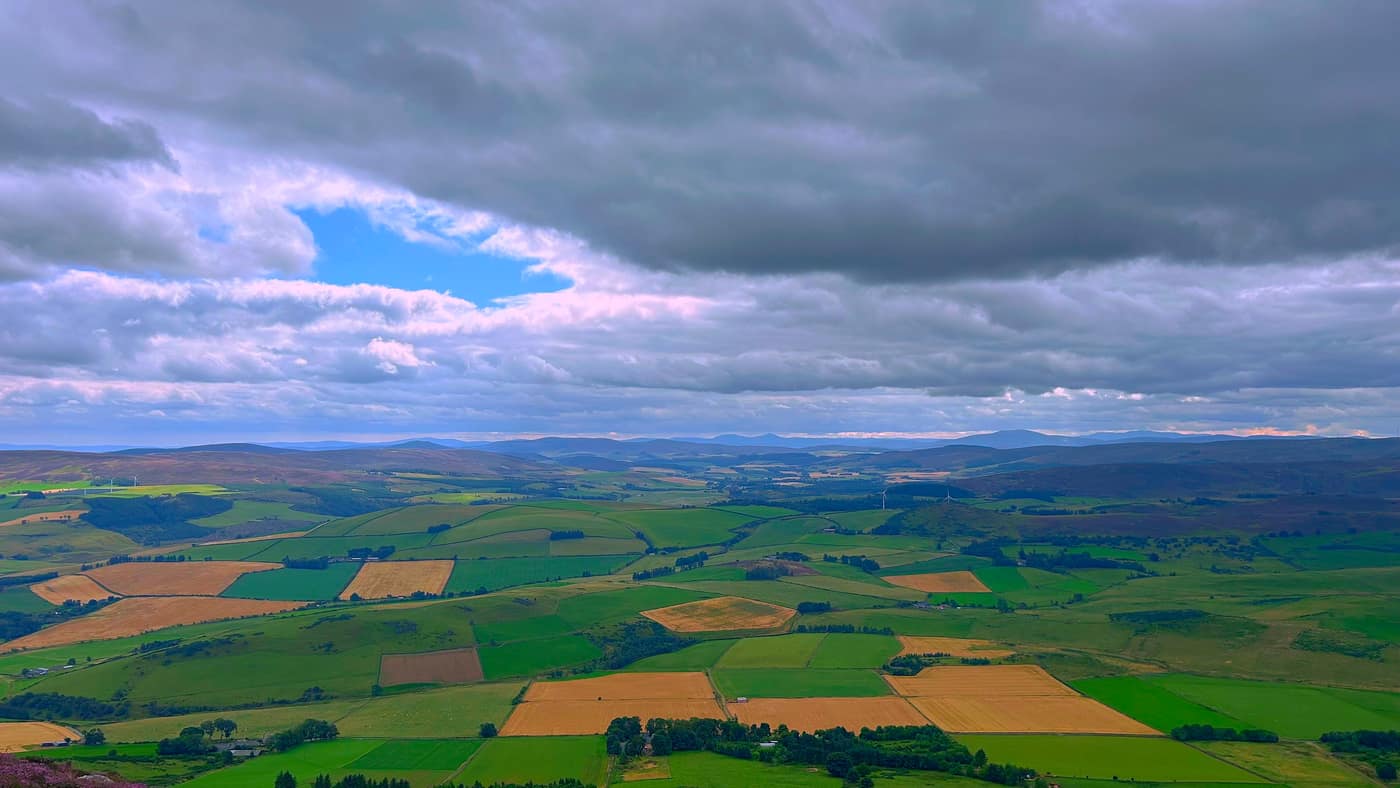
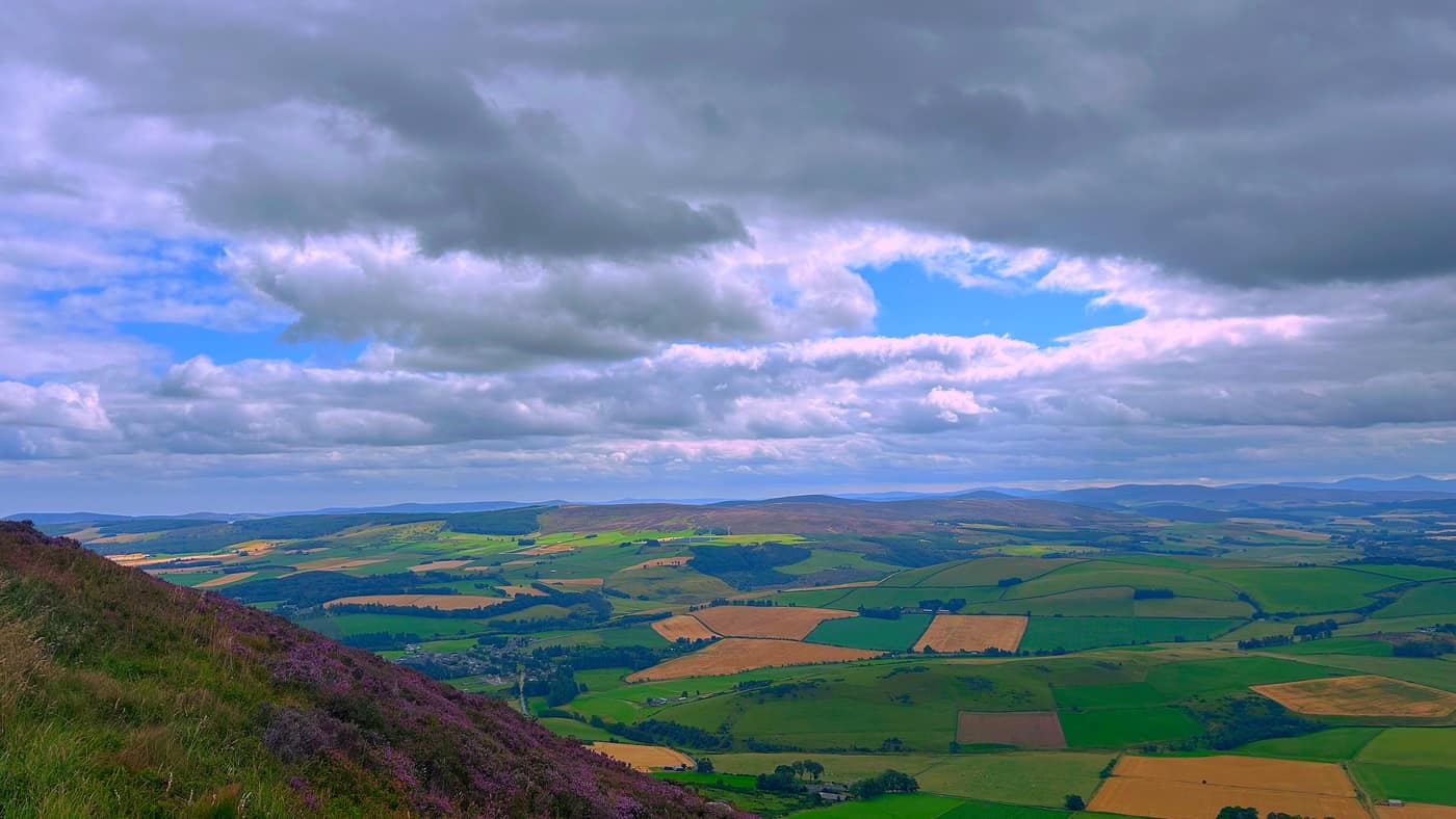
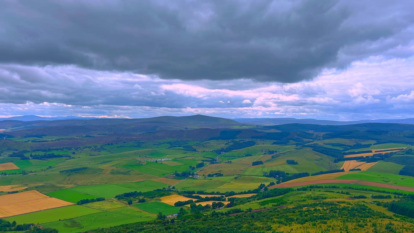
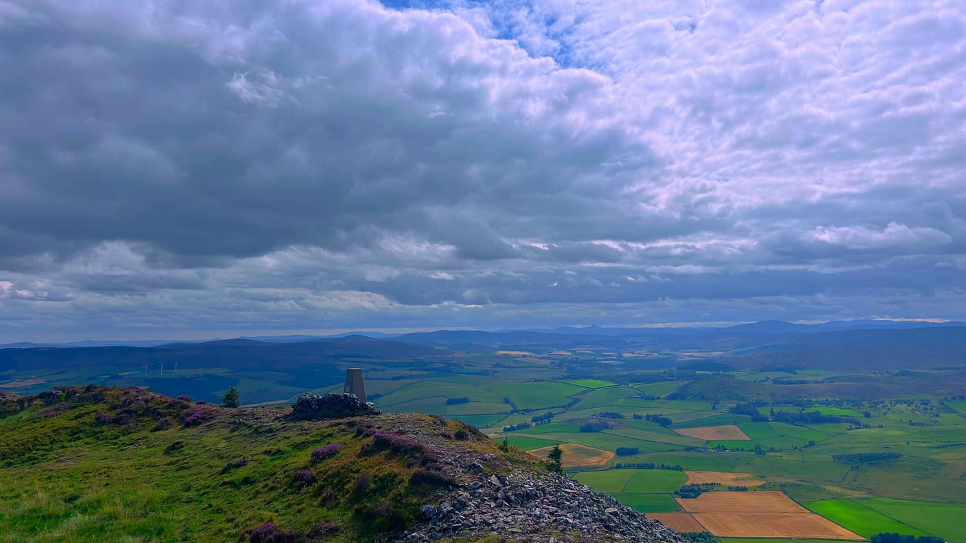
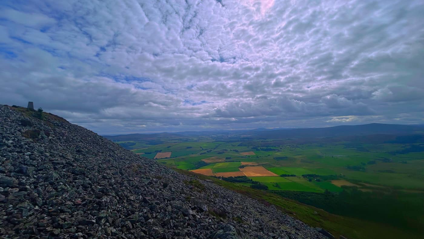
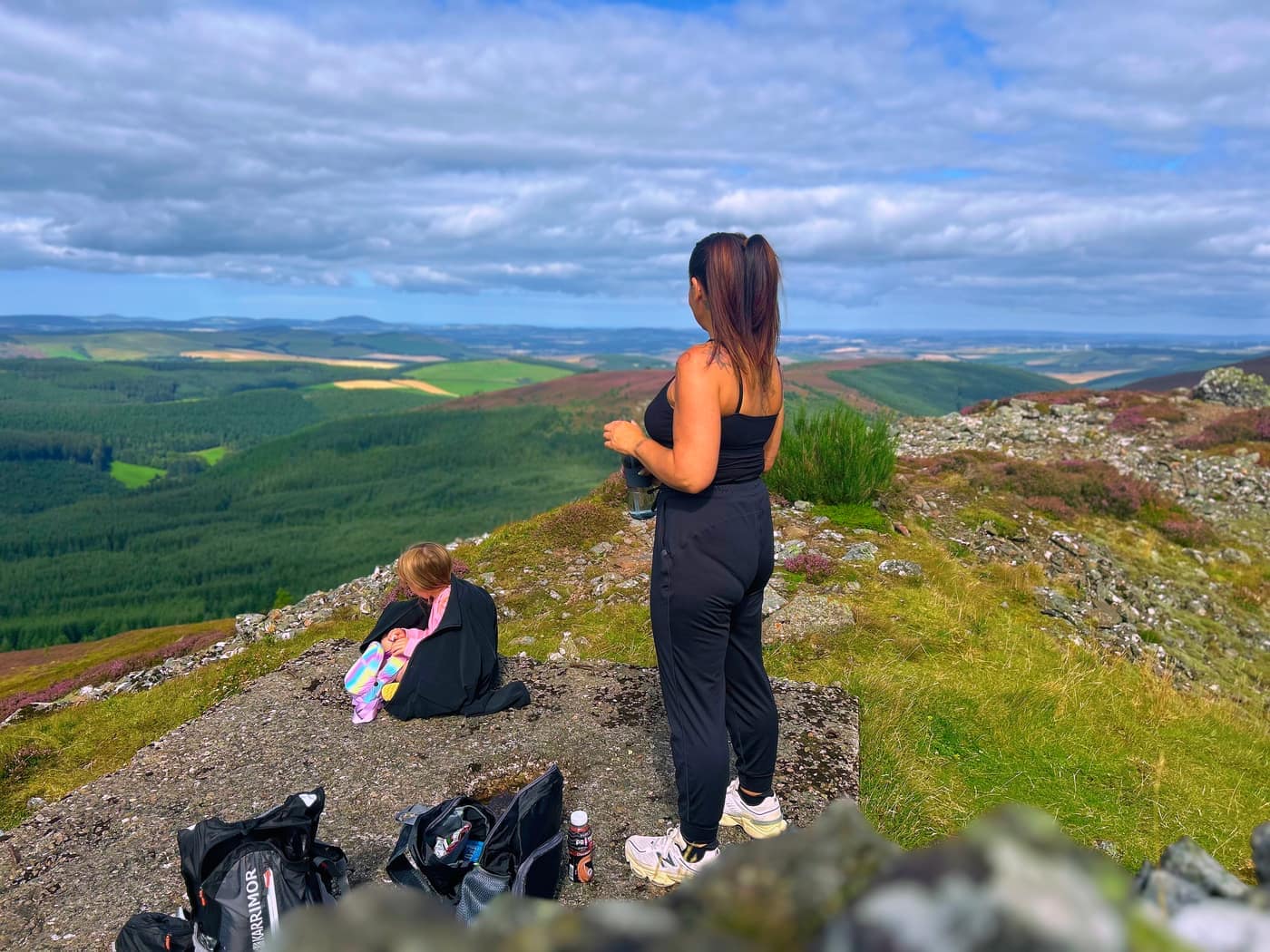
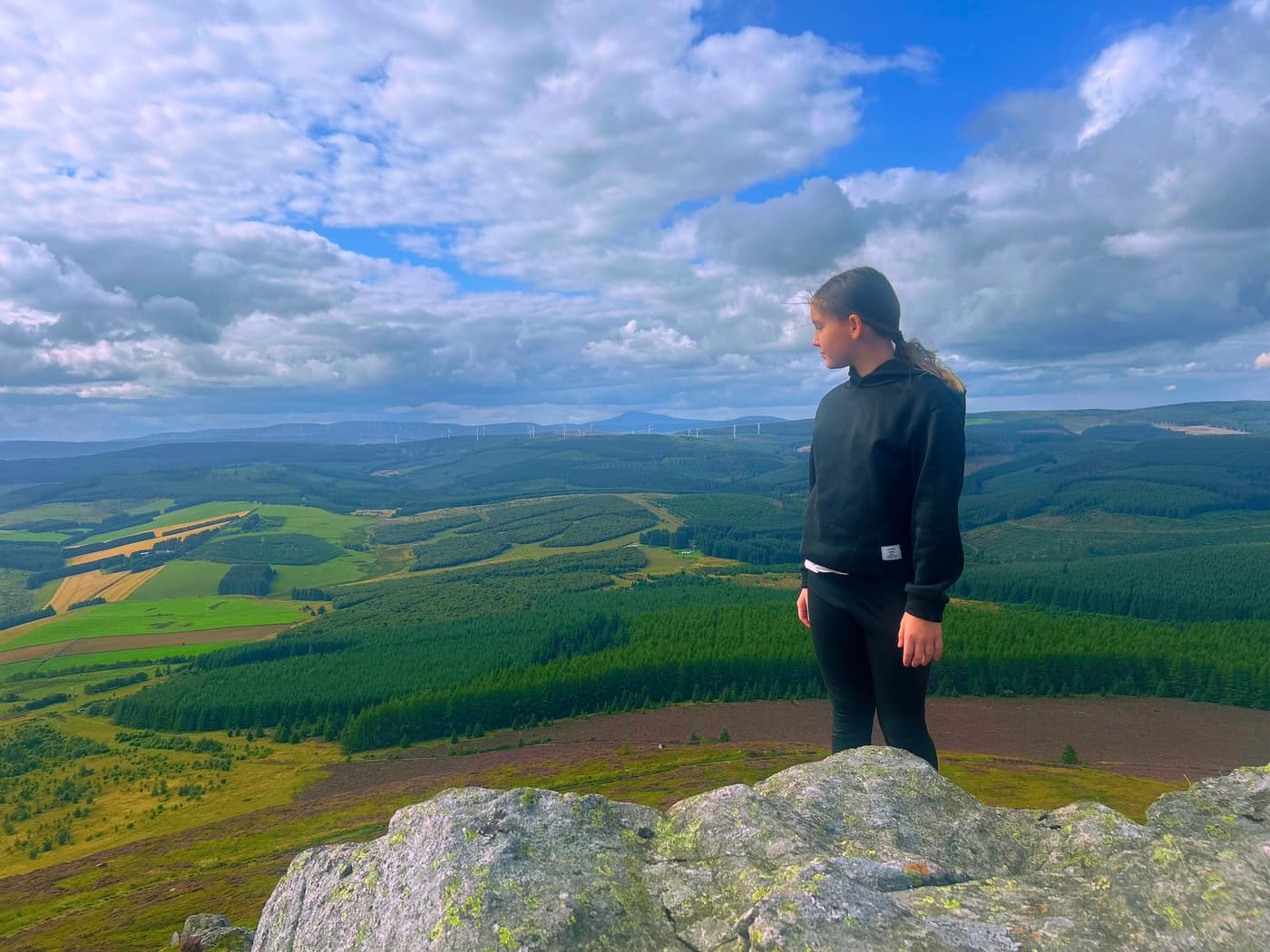
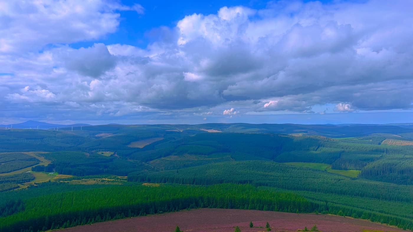
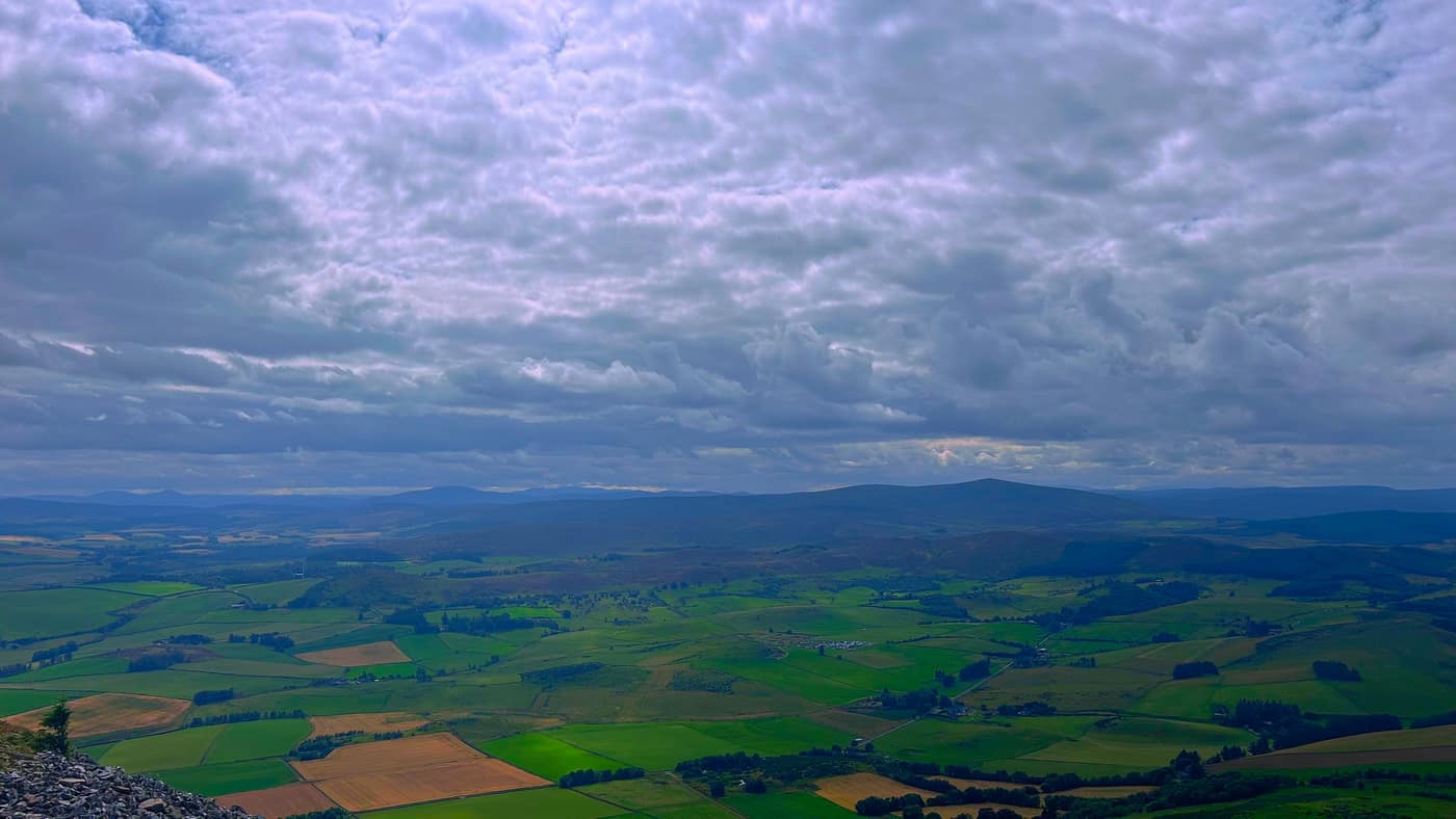
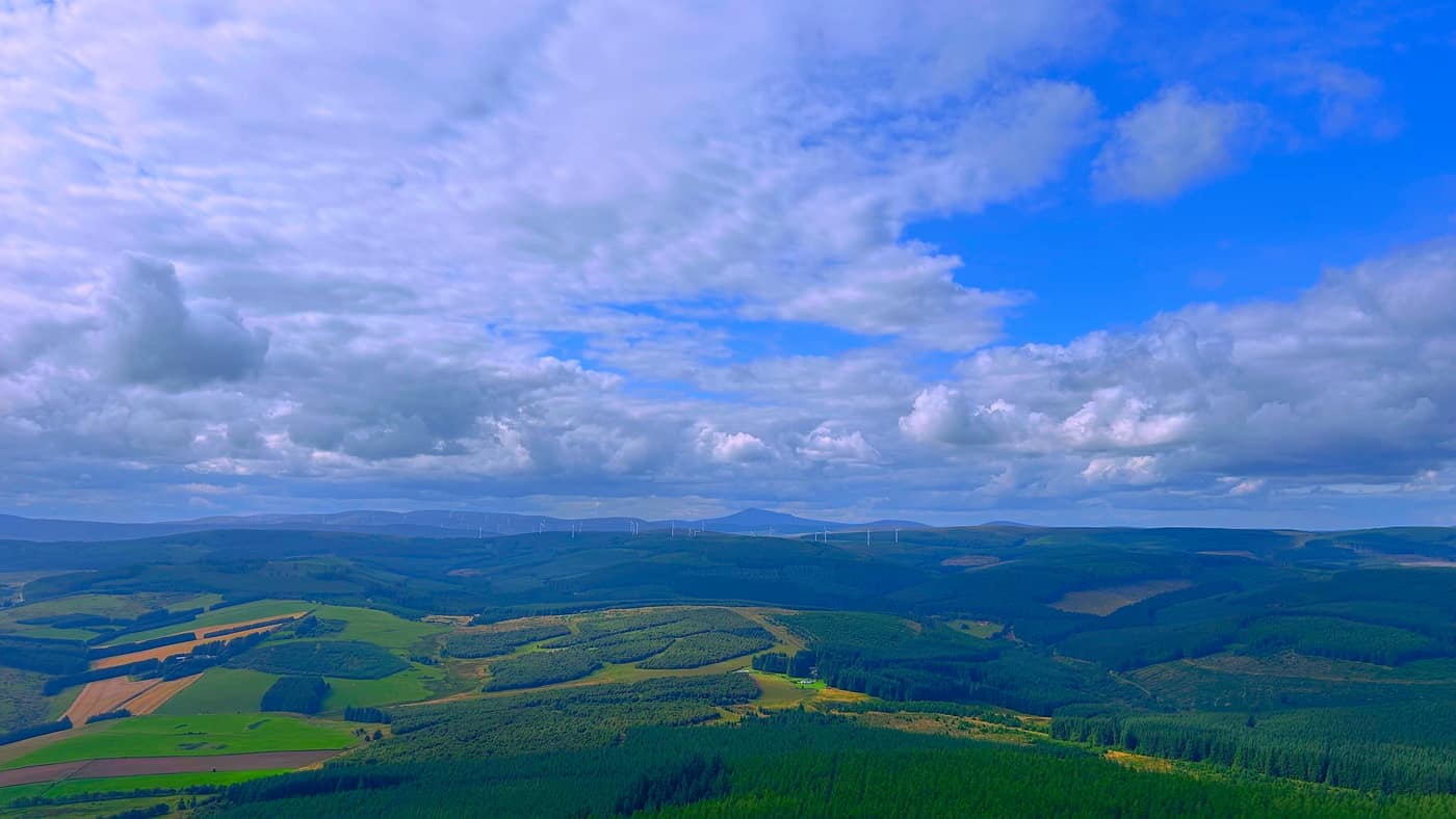
It’s a straightforward walk from here to the top, with nothing to work out and nowhere to go wrong — you just keep going up. What you get for it is behind you the whole way: dark blocks of forestry running out to the horizon, wind turbines strung along the skyline, and the farmland below cut into green and yellow squares with Rhynie sitting in the middle of it.
The top
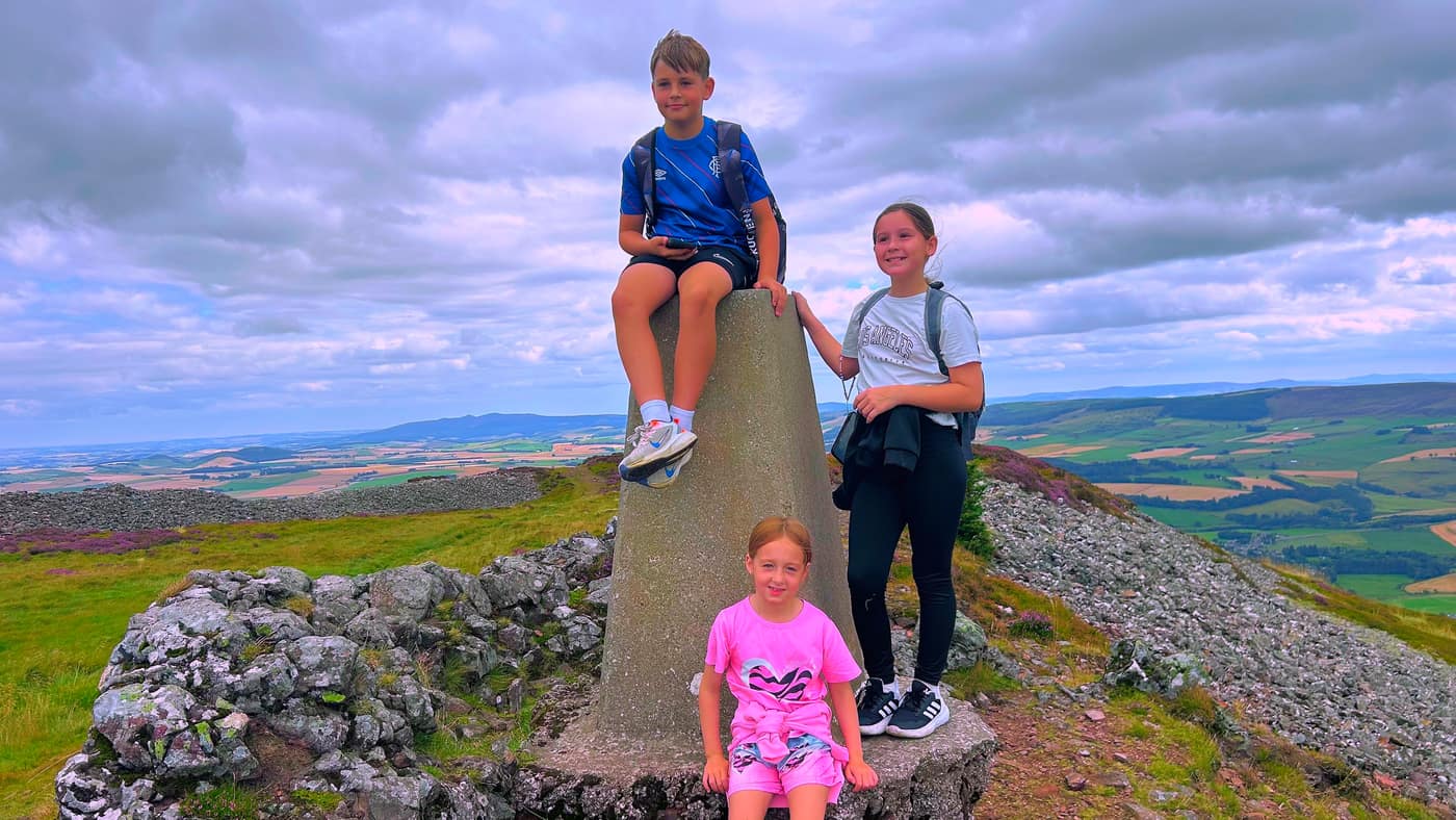
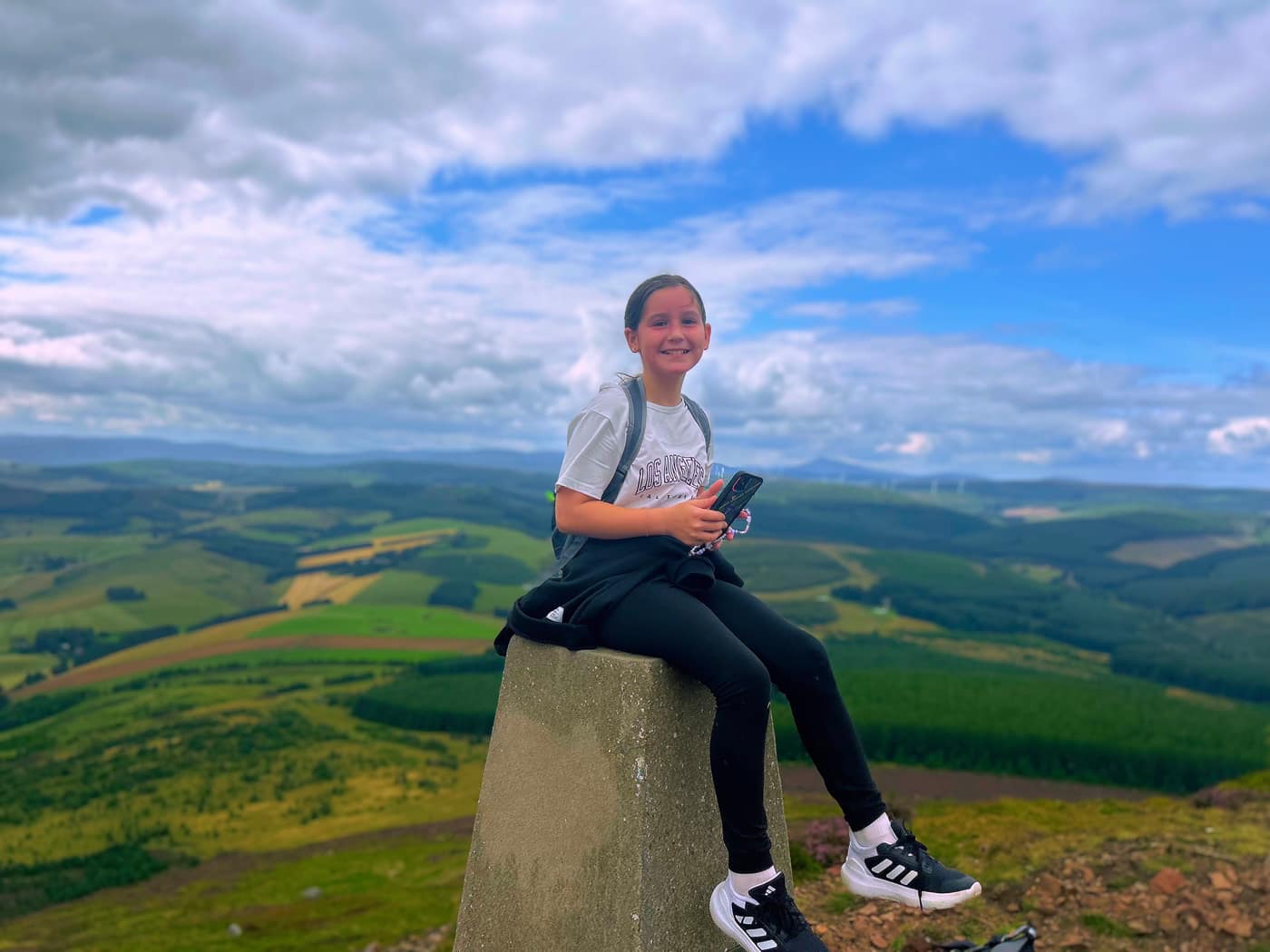
The summit reached, and the kids were delighted they’d managed their first hill climb. They ticked a star off on the Climb A Munro app.
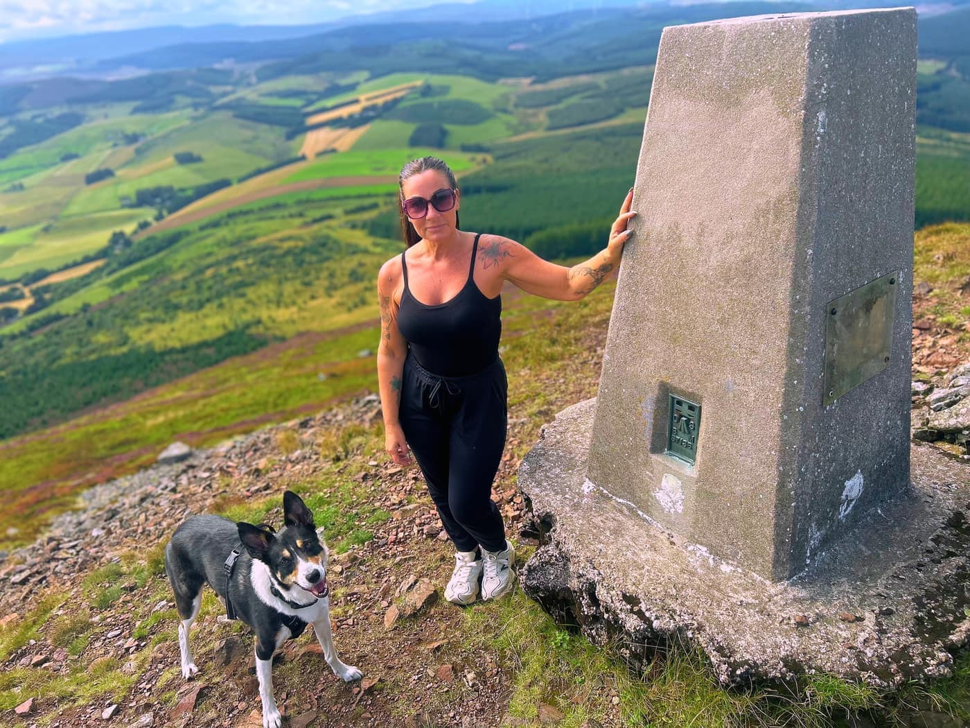
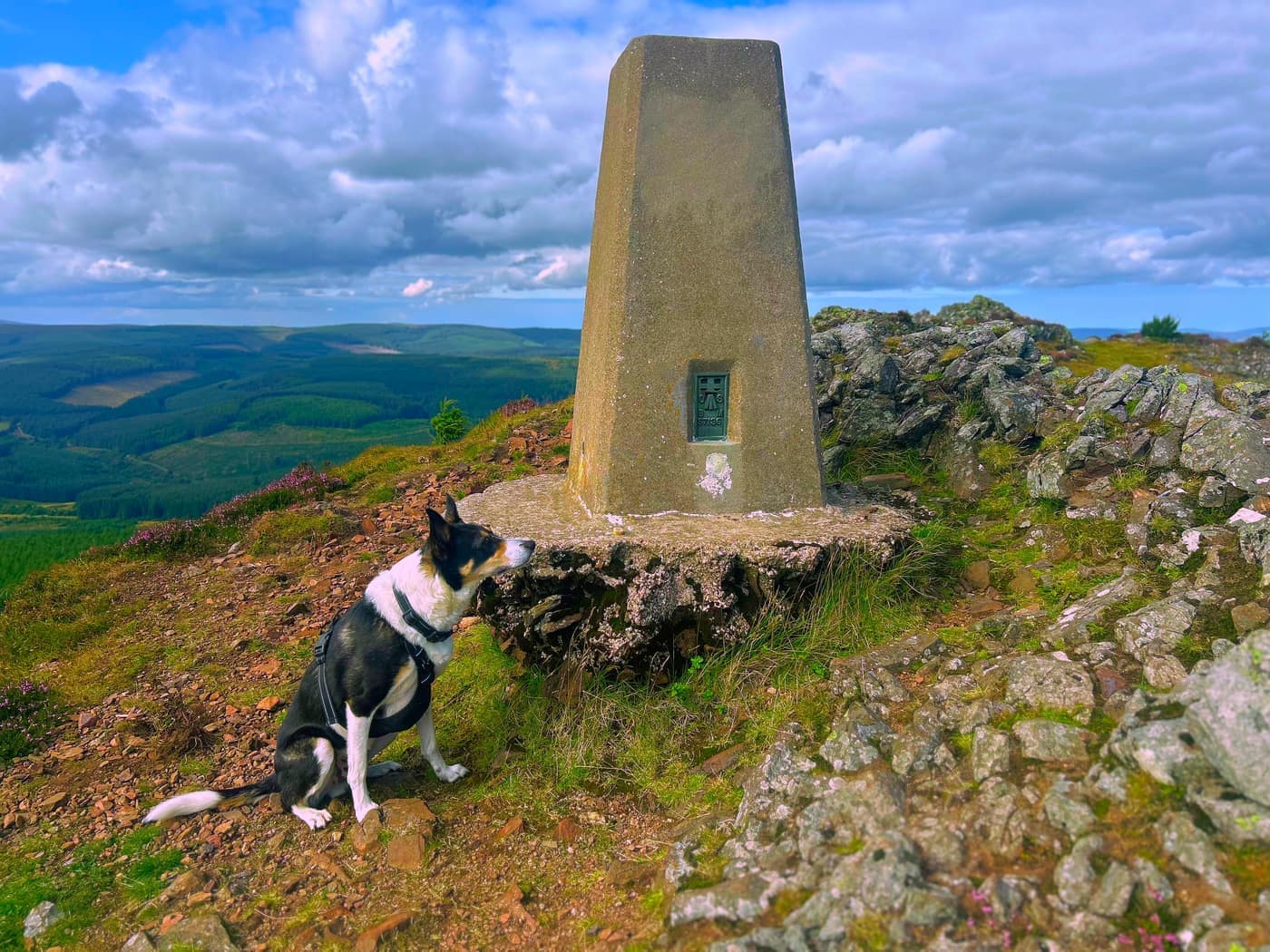
The top itself is all stone. The whole crown of the hill is loose grey rubble, with the trig point stood on a mound at the end of it, and it carries on down the slope further than you’d expect.
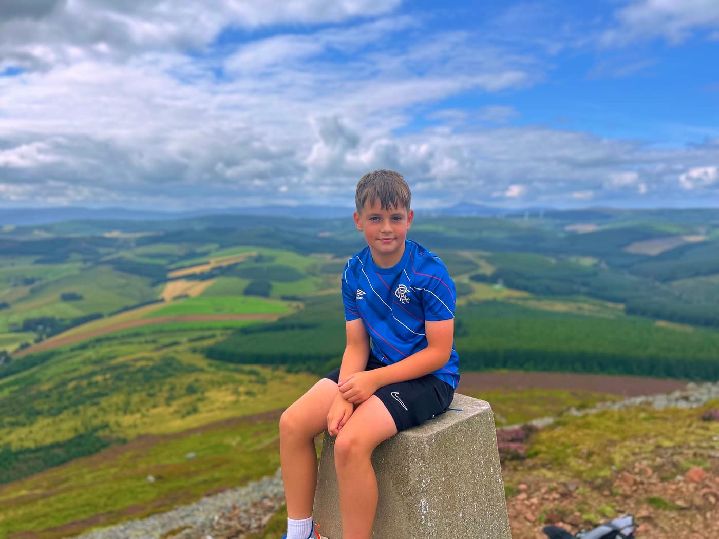
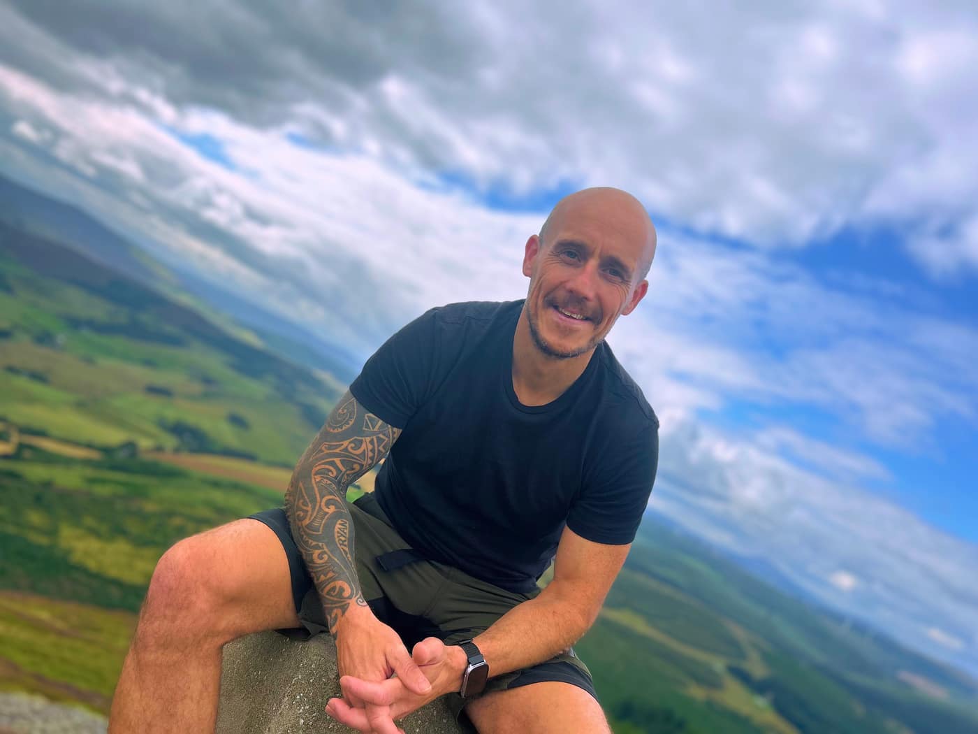
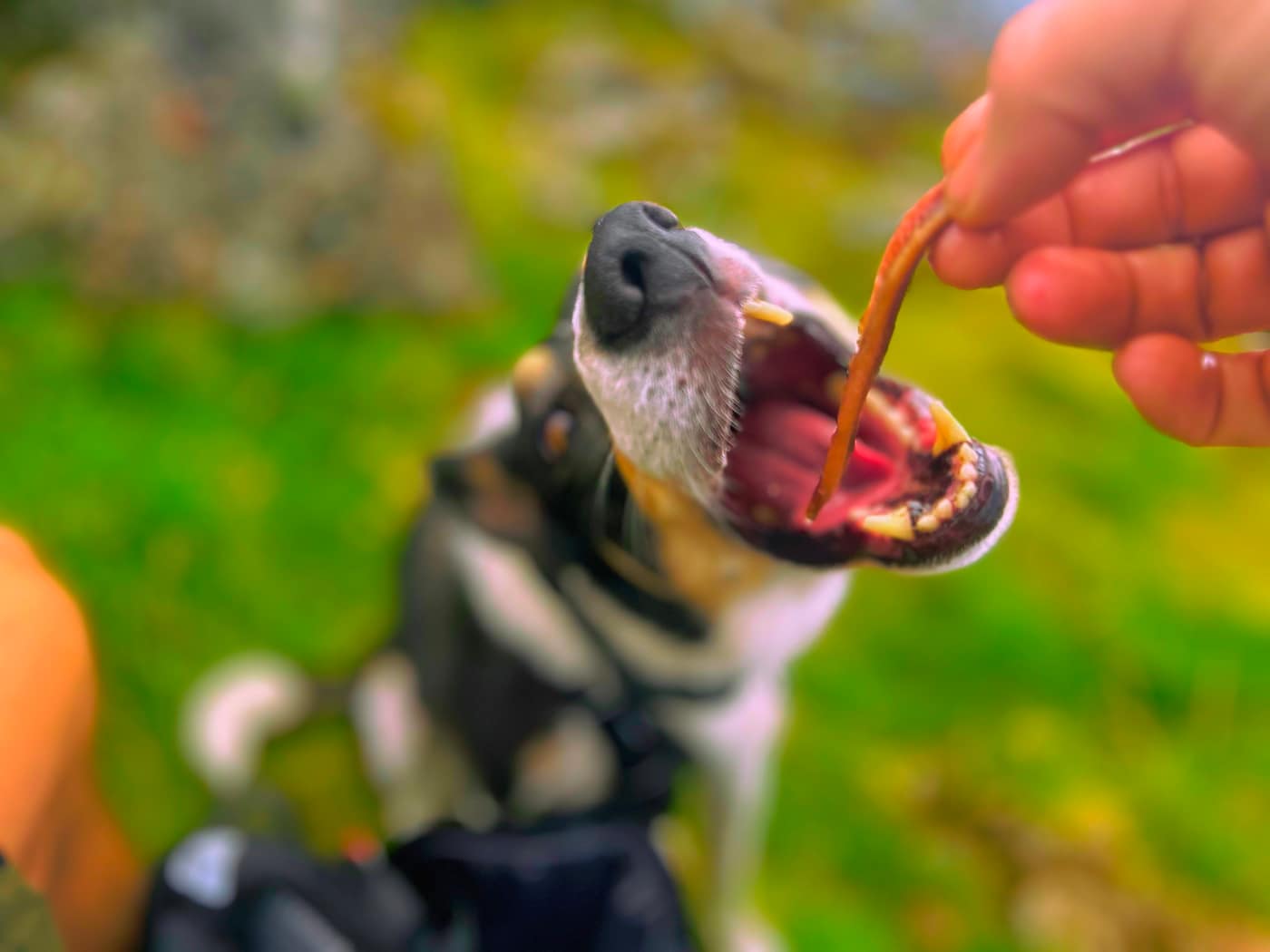
And here’s me, Katrina and Chase in our summit photo, with Chase once again waiting patiently for his treat. He parked himself at the foot of the trig point and stared at it until it turned up.
We got the food out and stopped about thirty minutes up there, long enough to sit and pick out what we were looking at, before heading back down the way we came up.
Worth knowing
We’re lucky to have this kind of view on our doorstep.
I asked the kids, do you get it now? They said yes, and they were loving the views from the top.
Take the tick list with you.