The Buck
- Height
- 721 m
- Grade
- Difficult
- Round trip
- 1 hr 7 min recorded
- Distance
- 3.86 km recorded
- Ascent
- 279 m recorded
- Steps
- 5,195
- Start
- Layby on the roadside
- Region
- Tomintoul to Banff
Times are my own pace, with Chase. The recording cut off and I restarted it late, so these figures are short of the full walk.
Same rule as always before anything else: always go back down the way you came up. If you’re not sure of the ground, that’s the way you know.
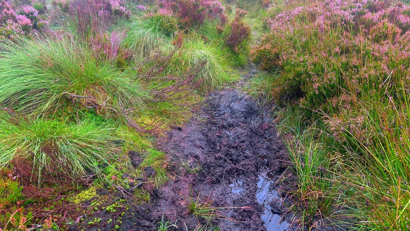
A warning for this one before anything else: The Buck is very boggy. Not a wet patch here and there — marsh for roughly three quarters of the climb, with no visible path through most of it. Wear proper boots, take care crossing it, and avoid the deeper sections.
The Buck is a Graham of 721 metres, in the hills between Tomintoul and Banff. This was the second hill of the day for me and Chase, after Mither Tap in the morning, and the mist hadn’t lifted for either of them. Not much in the way of views again.
Getting parked
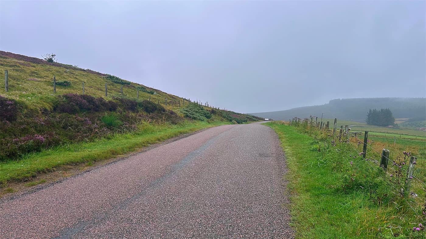
The app did its job and took me to a layby at the side of the road.
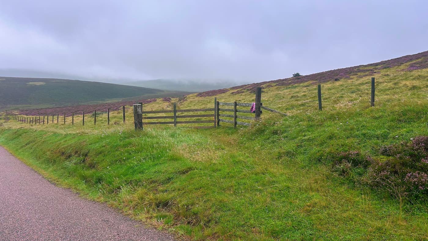
About 150 yards back from the layby there’s a gate. That’s where you go through, and from there you follow a narrow path — visible for now, at least.
The narrow path
From the gate the path runs for around five to ten minutes straight on through the heather, which was out purple the whole length of it. That’s the one bit of colour you get on a grey day.
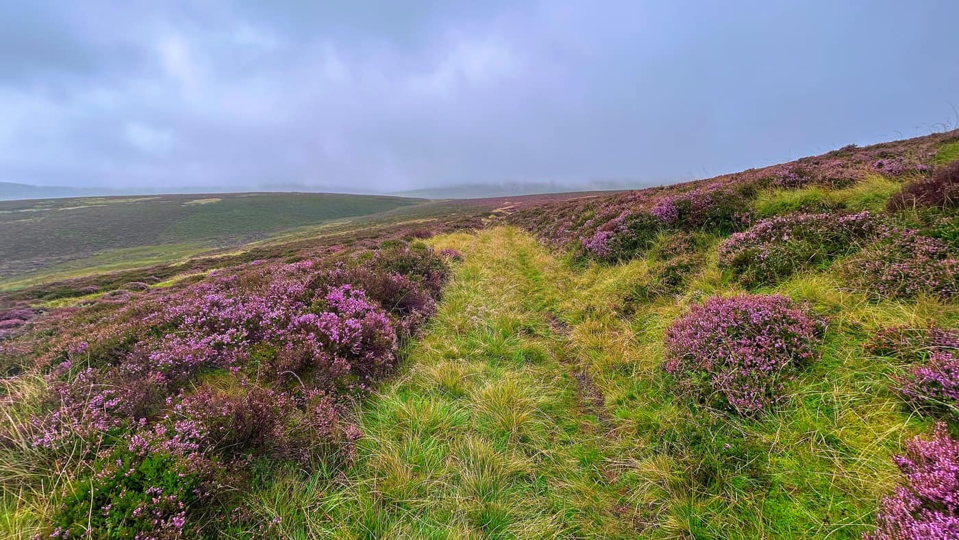
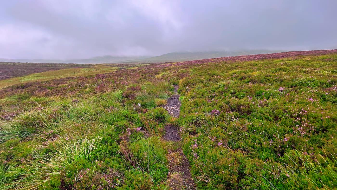
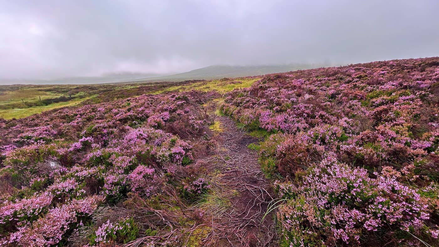
The marsh
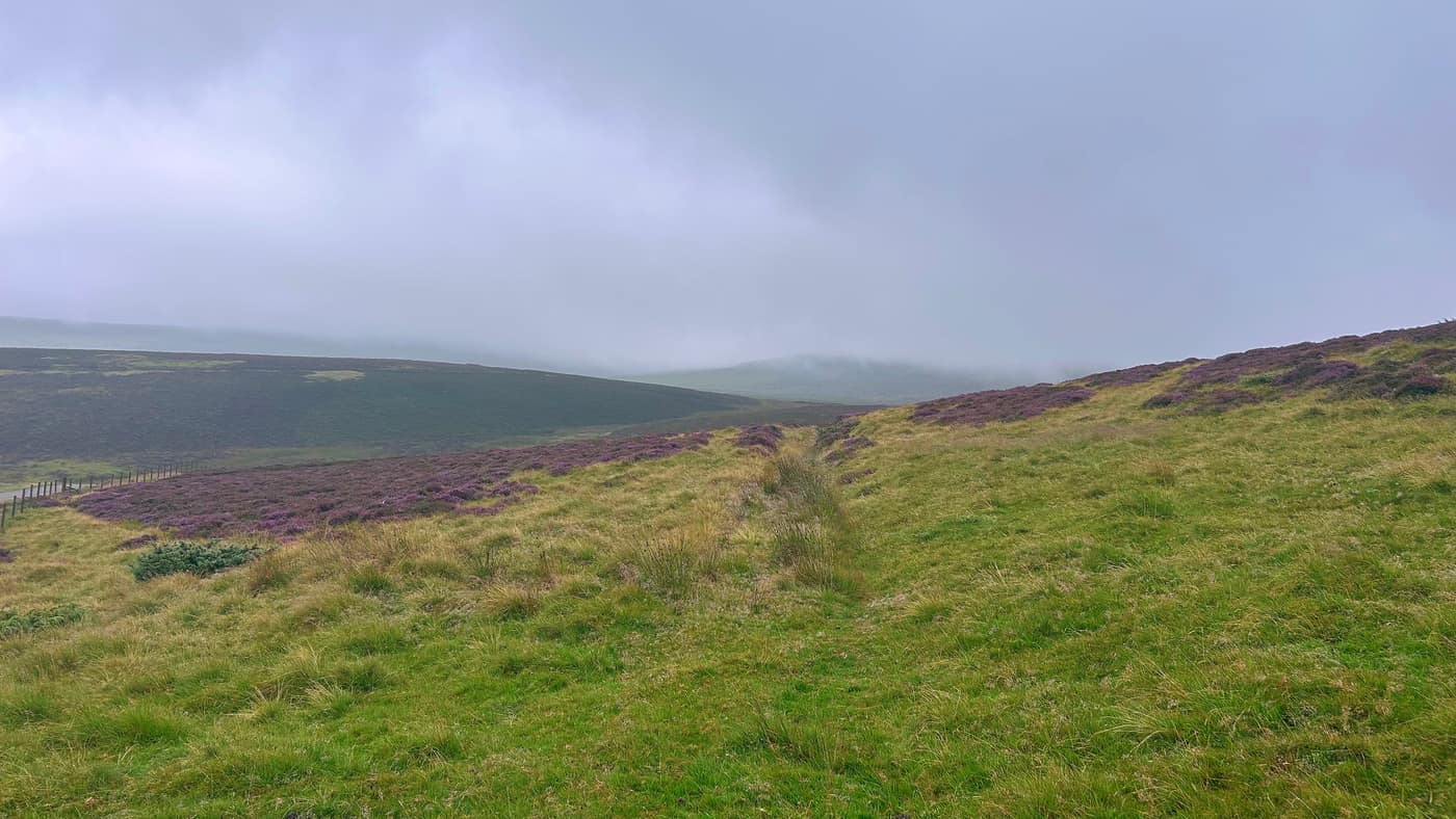
Then things start to get boggy, and you struggle to see any path at all from here.
When you reach this point, look over to your left and you’ll see fence posts. Zoom into the photo and you’ll pick them out — three of them running across the middle of it. Be careful crossing the marshland here and try to avoid any deeper sections.
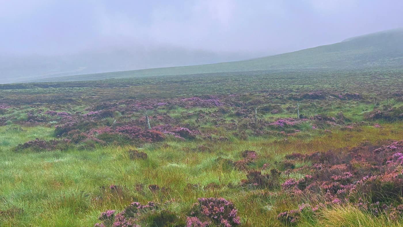
From the fence posts there’s a path that you follow straight up to the top. No turns. Just marsh, for roughly three quarters of the way up.
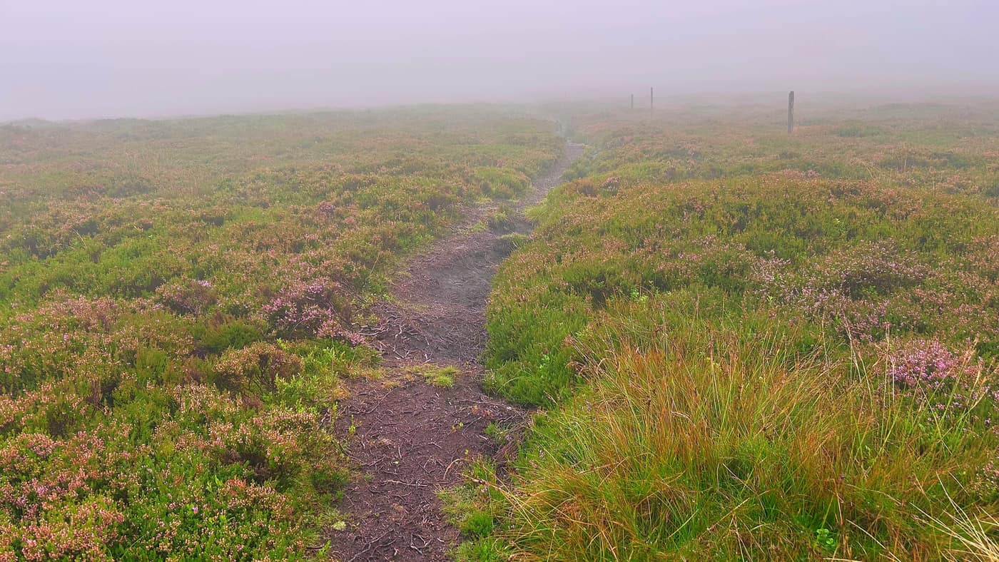
I put two notes into the app on the way up. At nine minutes: “Steeper climb here and hopefully the end of the boggy patch.” At ten thirty nine: “NOPE! STILL BOGGY BOOTS ON!!”
Even the dog wasn’t impressed.
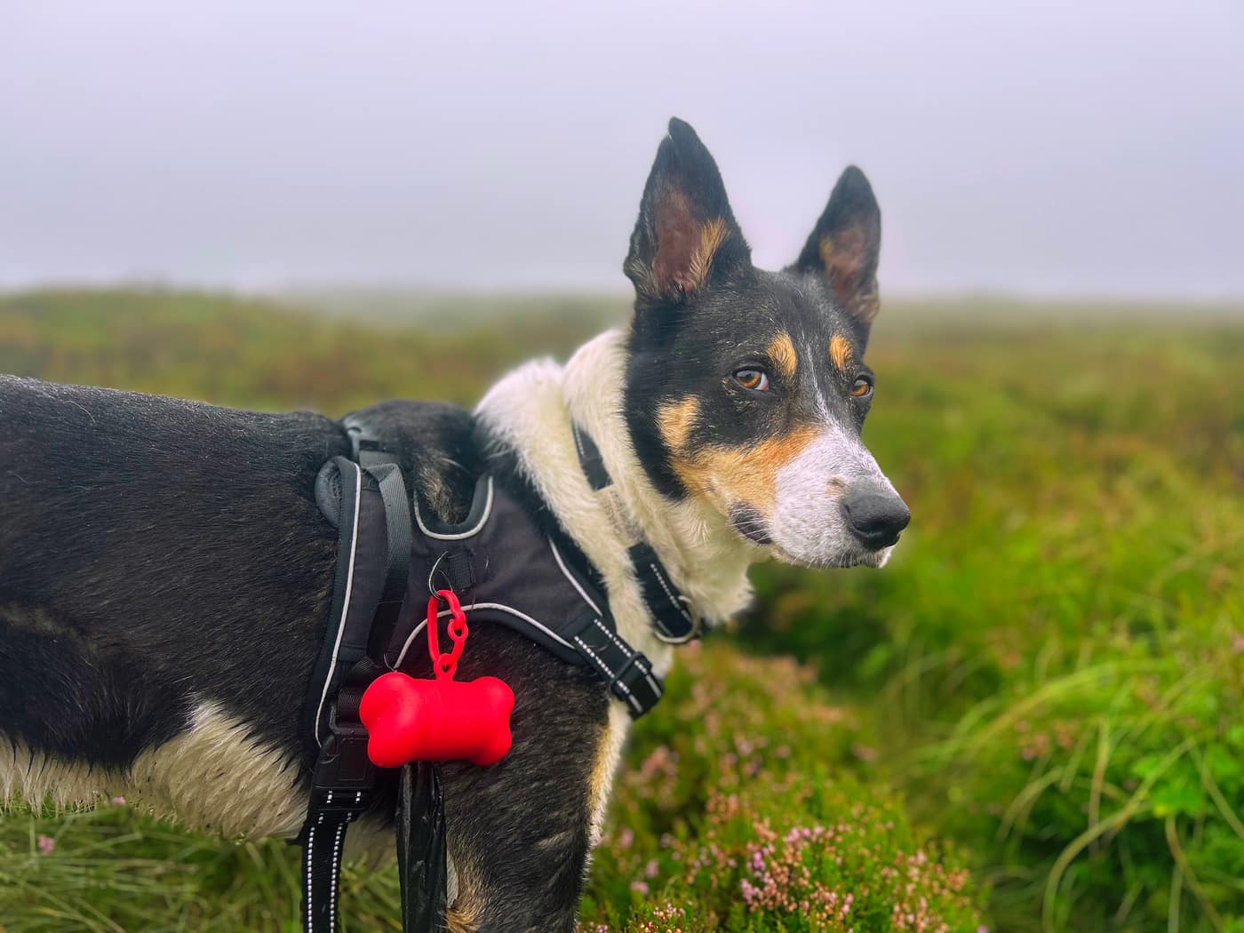
Where it dries out
Things do eventually get drier. You’ll know it when you see a slight bump in the climb with a white rock over to the right.
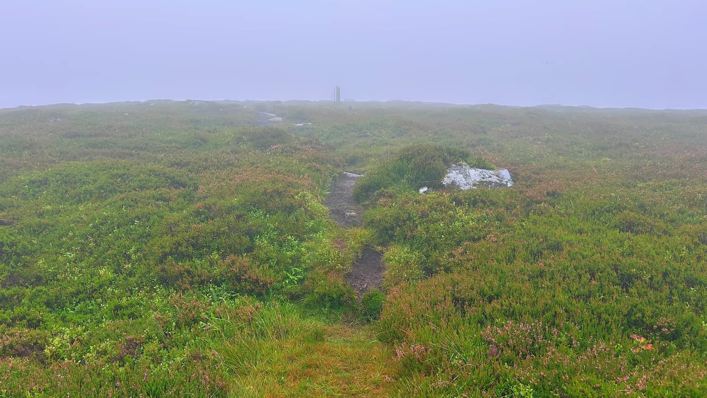
The top
Just after that point you’ll see the trig point, standing on top of rock. It needed a wee extra push to get up.
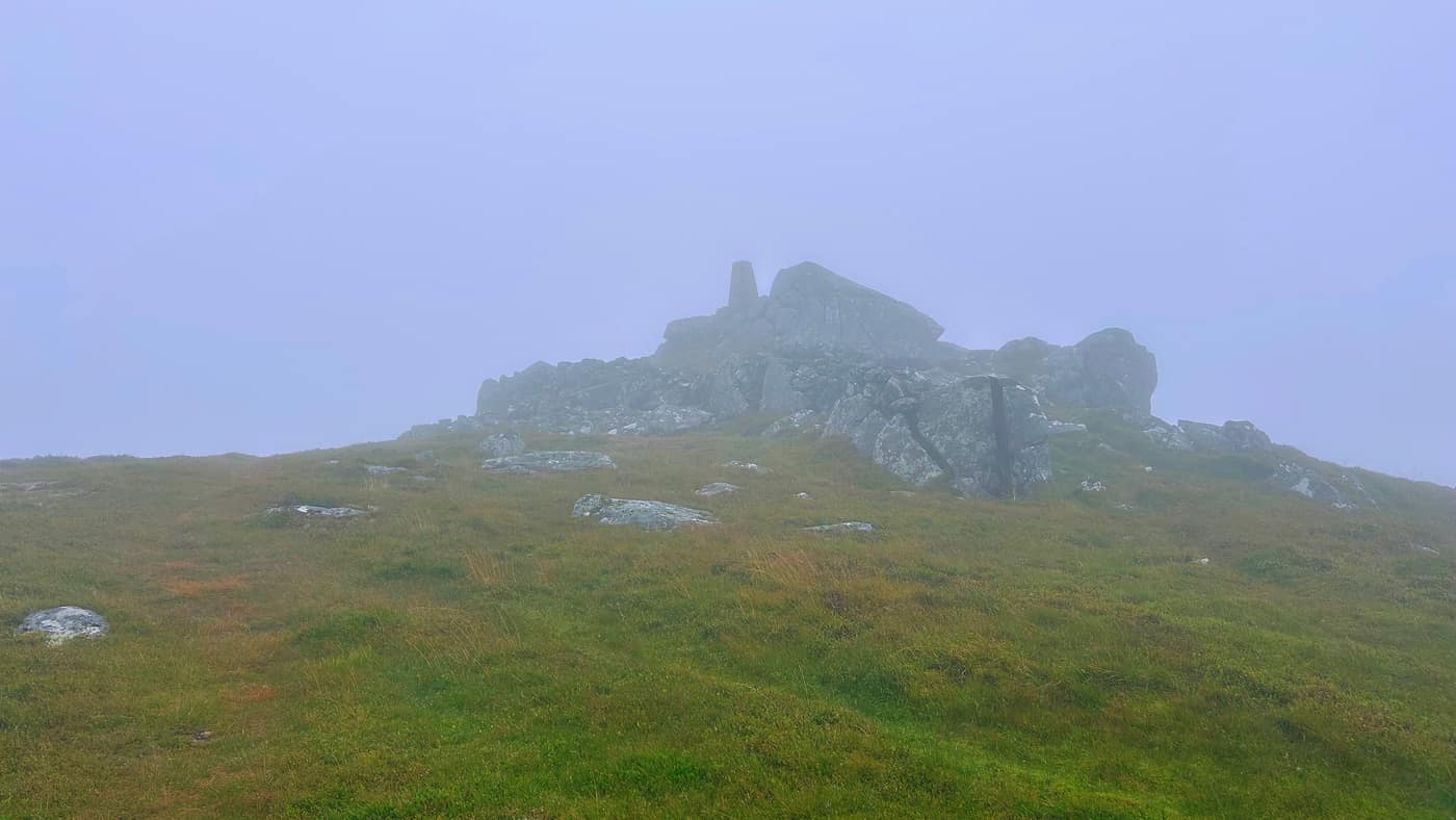
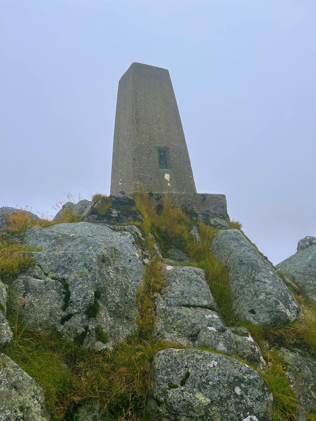
Wasn’t so easy for the dog, mind you. Chase got his treat at the top this time, but he couldn’t get up the rock to do his usual pose. He’s happy enough about it either way.
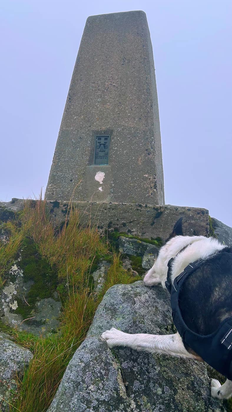
Not a hill I’d come back to in a hurry. But it’s another summit reached, and another star off the map.
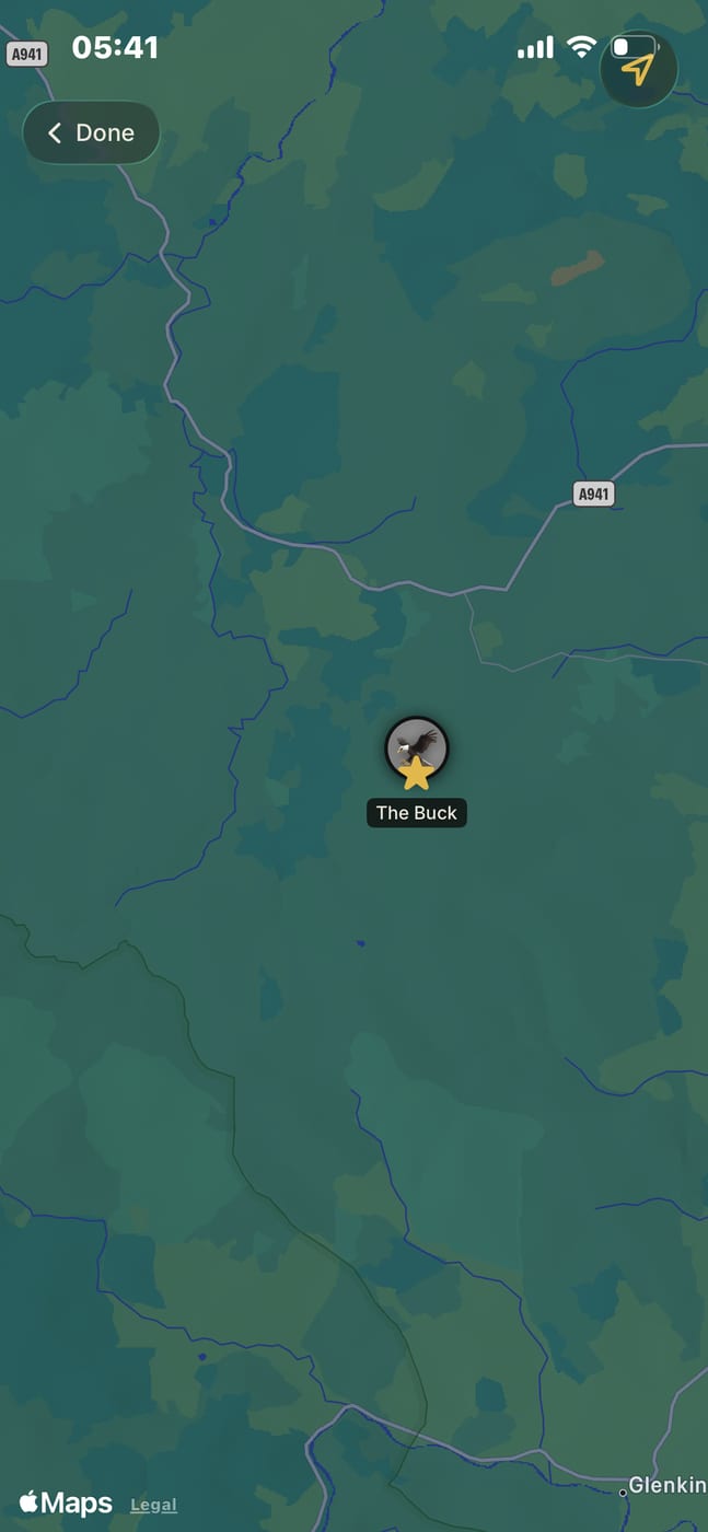
Take the tick list with you.