Mayar and Driesh
- Height
- 948 m
- Grade
- Difficult
- Step
- The Munro
- Round trip
- about 5 hr
- Distance
- about 14.6 km
- Ascent
- 894 m
- Steps
- 19,454
- Start
- Glen Doll car park, Glen Clova
- Region
- Angus
Times are our own pace, with Ryan, Chase and Piper. Recorded on the app in two parts: 5.65 km, 687 m up and 2 hr 16 min to the top of Mayar, then 9 km, 207 m up and 2 hr 45 min across to Driesh and back down.
Zoom in and move about. The map loads from OpenFreeMap when you tap, not before.
- Way up
- Way down
- Start
- Finish
- Top
Always go back down the way you came up, unless it’s a loop you’ve planned beforehand.
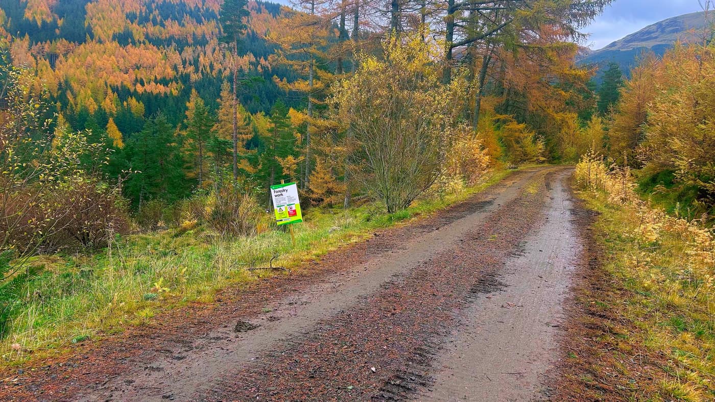
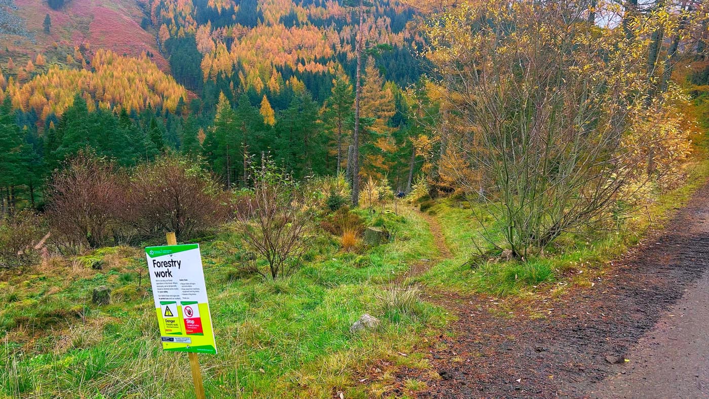
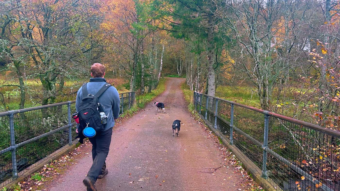
This one wasn’t a go back down the way you came. It was researched beforehand, and at the end there are photos of how clear the path is to take down after Driesh.
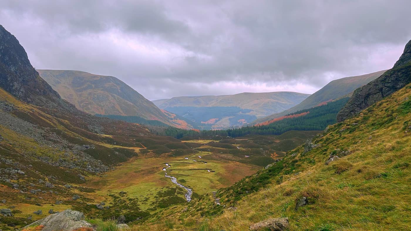
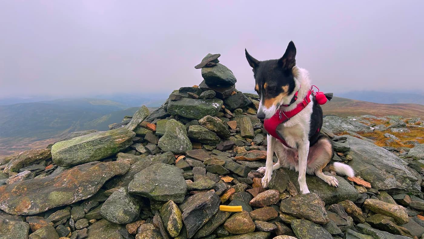
Mayar is 929 metres and Driesh is 948 metres, two Munros at the head of Glen Clova in Angus. It was me, my son Ryan, Chase, and Piper, Ryan’s dog, today.
Getting parked
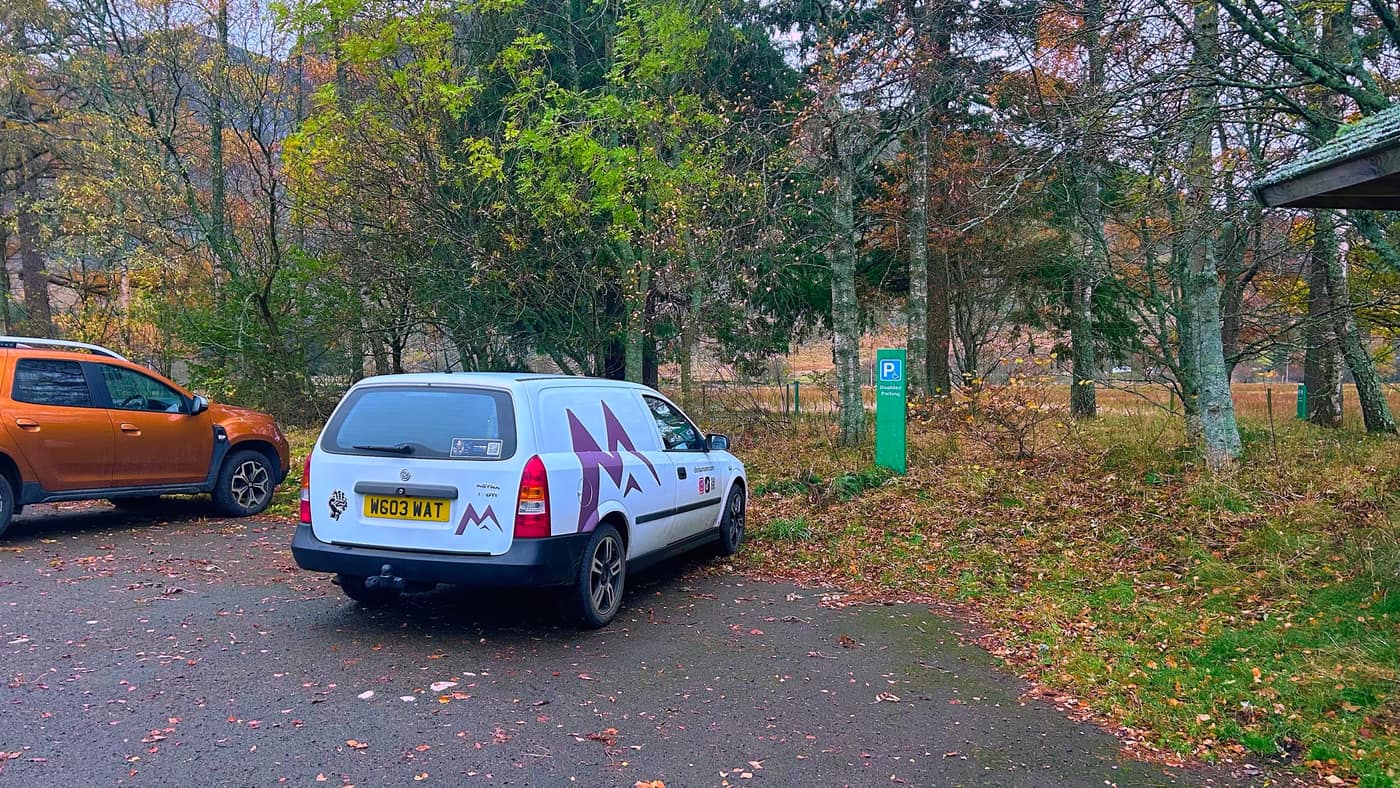
The walk starts from the Glen Doll car park at the top of Glen Clova. It’s a pay car park run by Forestry and Land Scotland, £3 for a car for the day, and you pay at the machine by the board.
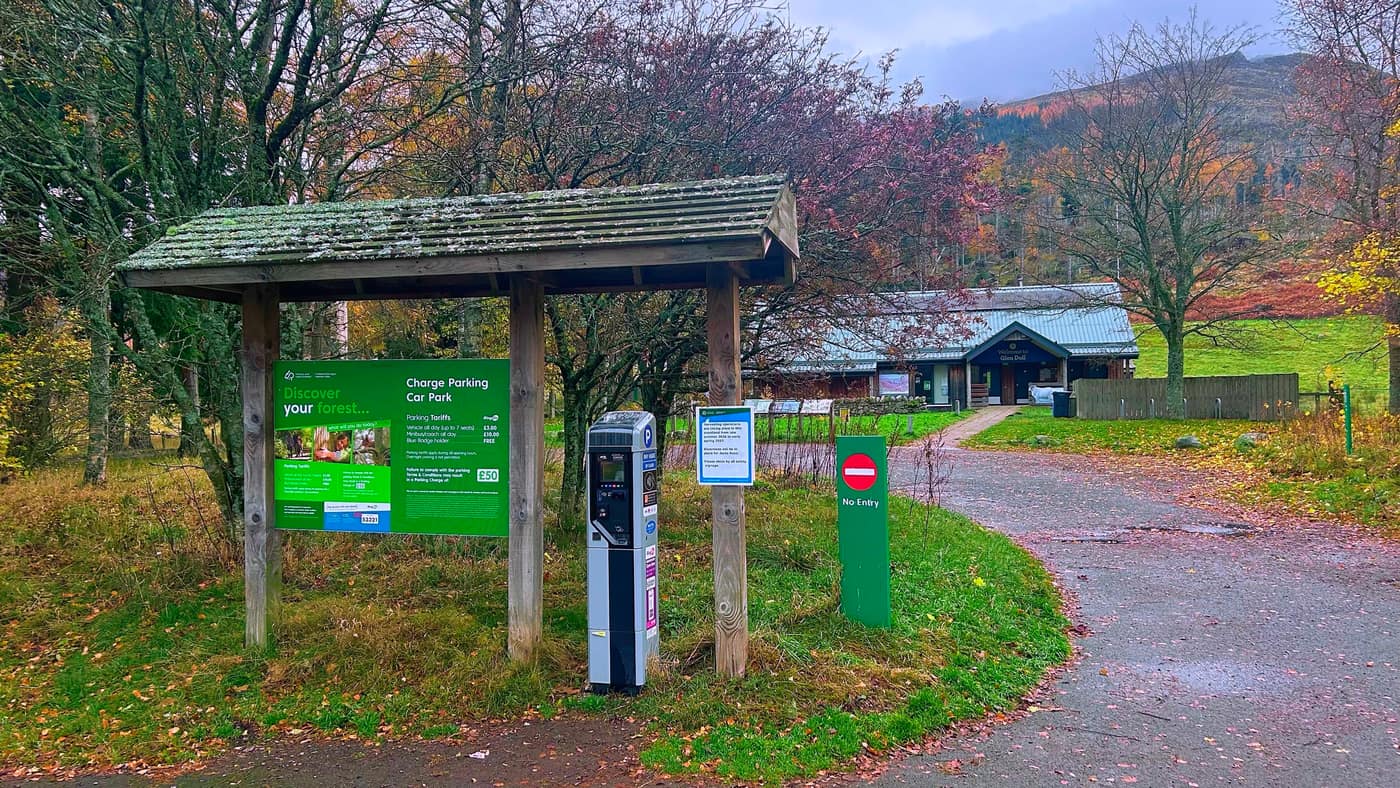
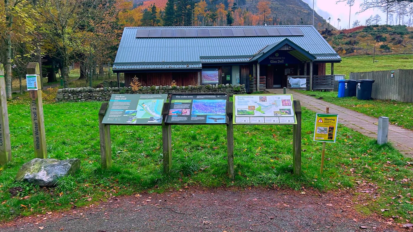
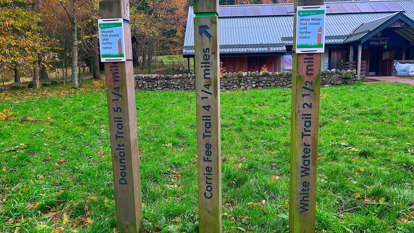
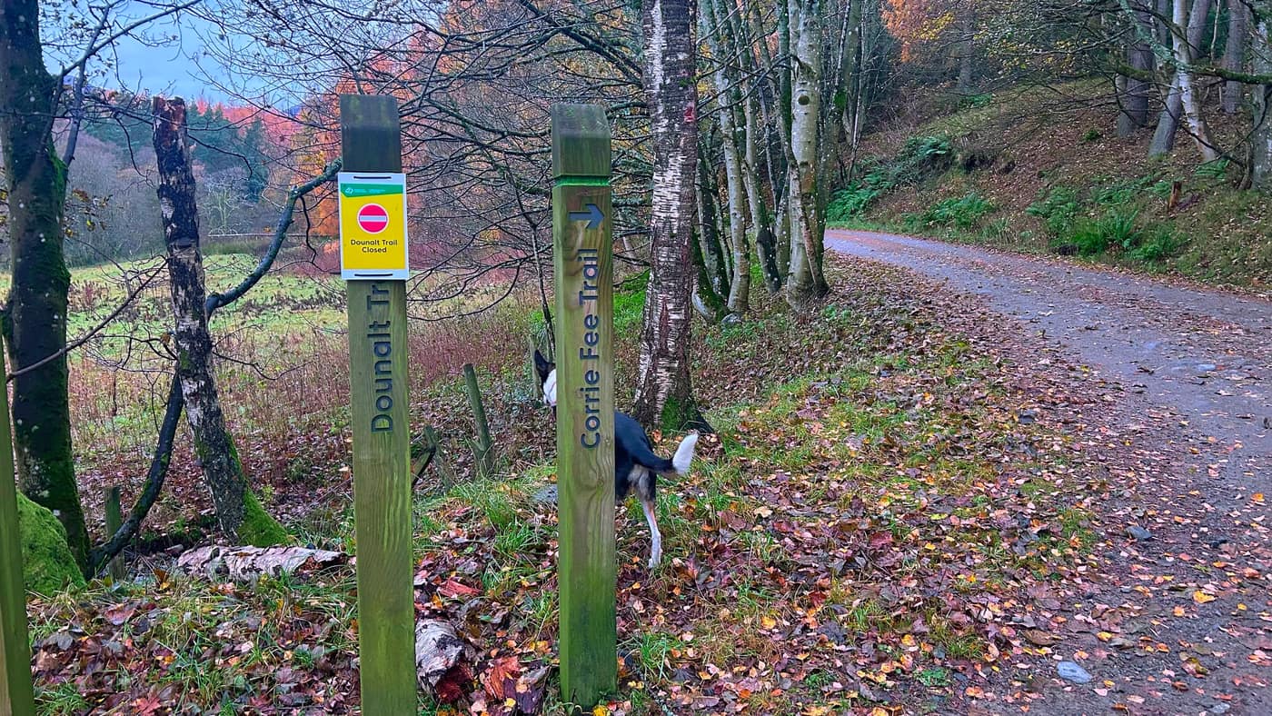
Past the machine is the Glen Doll visitor centre, with the information boards out front. The trail posts beside them have the Corrie Fee Trail at 4¼ miles. When we were there the Dounalt Trail and the White Water Trail were both closed until further notice, so check the signs on the day.
Up the track
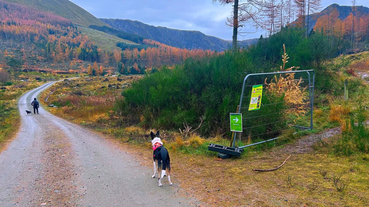
Take the path up past the car park toilets and stay to the left.
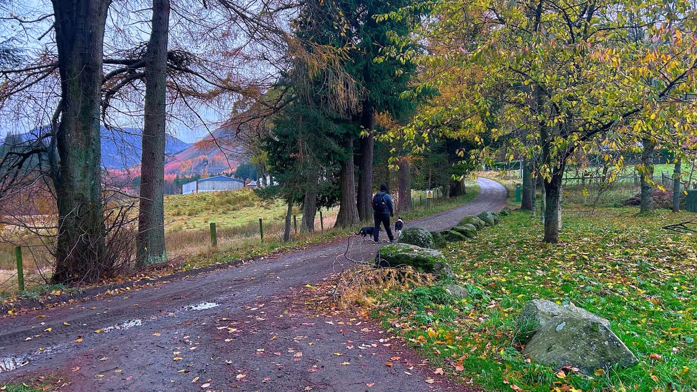
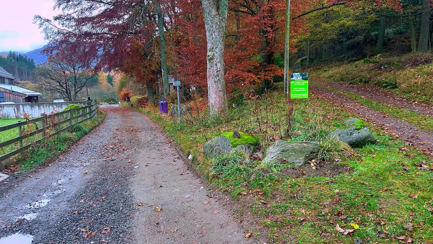
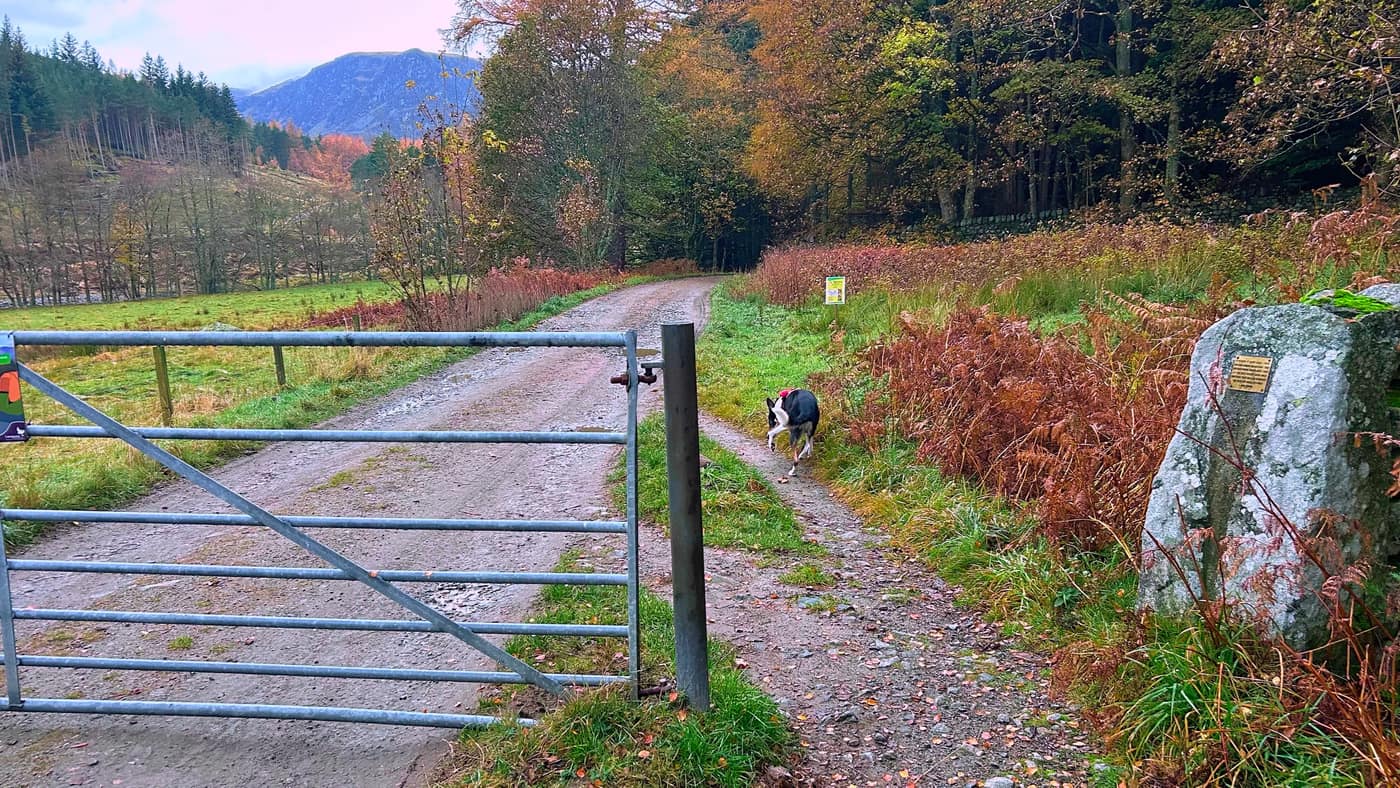
Carry on past a small lodge on your left. Don’t take the right path, that leads to the main lodge. Go through the gate and keep to the track.
To the bridge
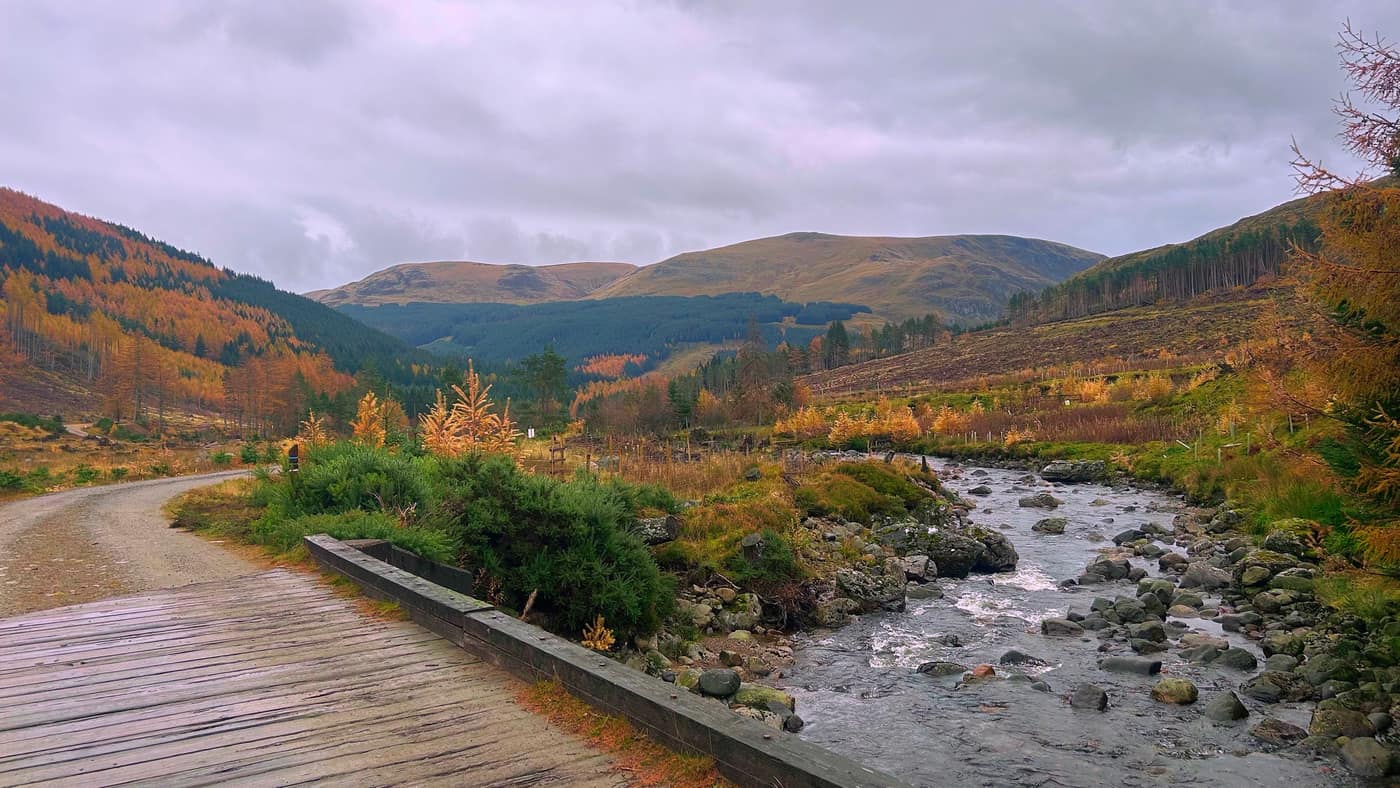
Stick to the path. Make sure not to take the paths that veer away from the main track, like Jock’s Road. You’ll see a bridge, and then you know you’re on the right track.
Into the woods
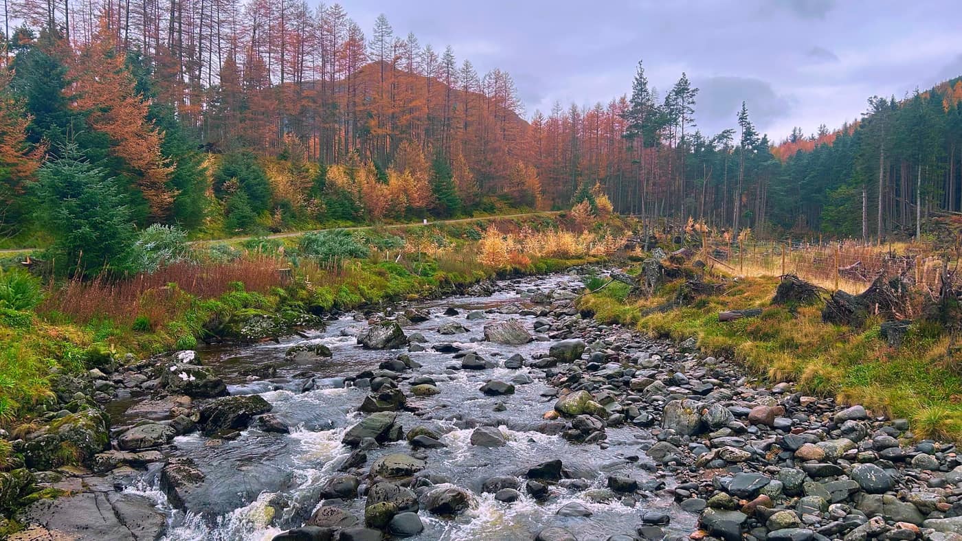
Keep walking a good 20 minutes and you’ll come to a diversion to Jock’s Road. Don’t turn here. Stick to the left and keep walking until the path narrows.
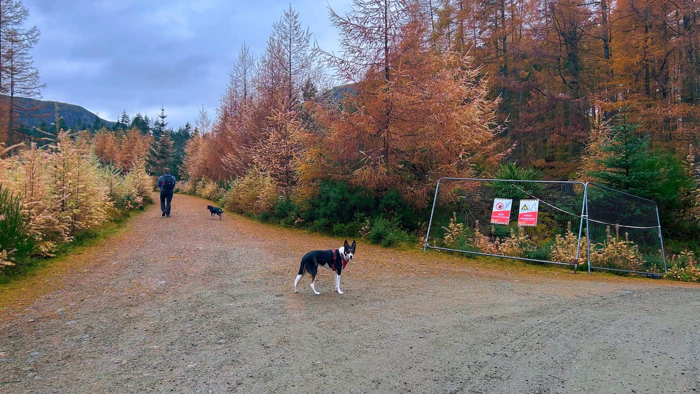
That takes you up through more woods for a good 10 minutes until the sign for Corrie Fee. This is where the views open up, and they’re stunning. Head up the stones to the right of the Corrie Fee sign.
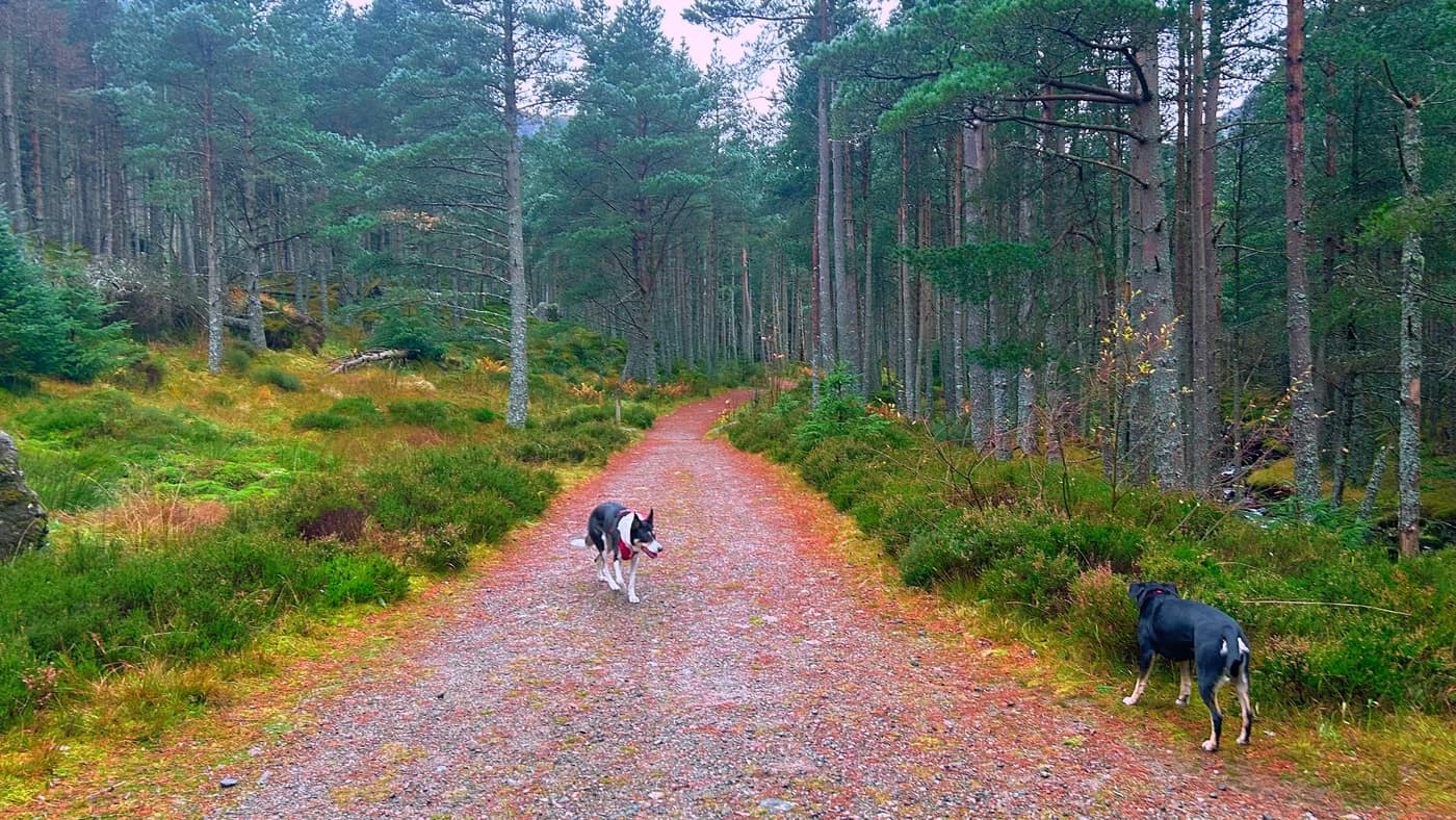
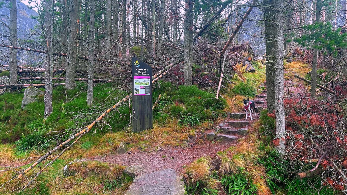
Corrie Fee
Head towards the back of Corrie Fee, towards the waterfall, and then that’s where the real climb starts.
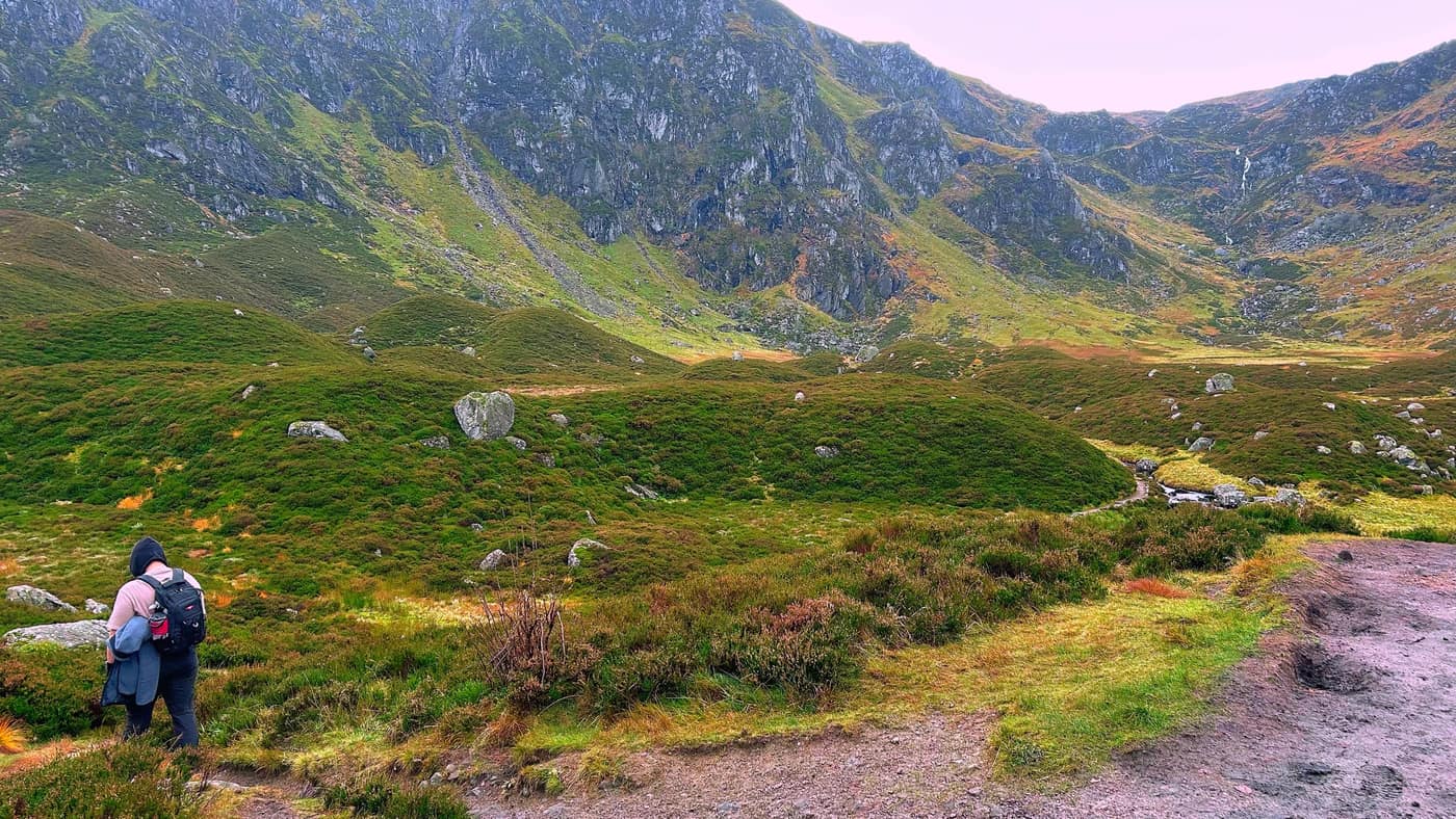
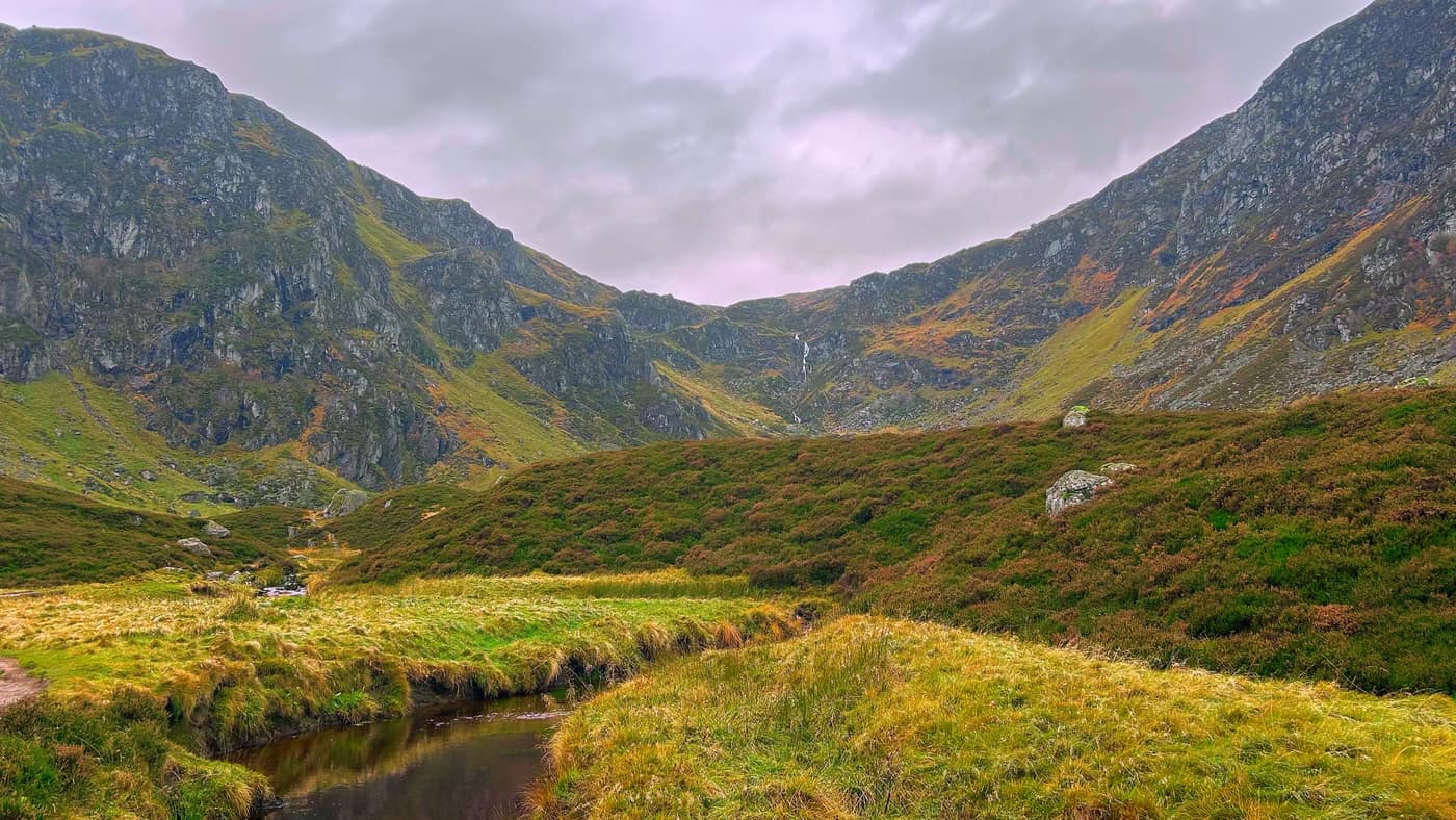
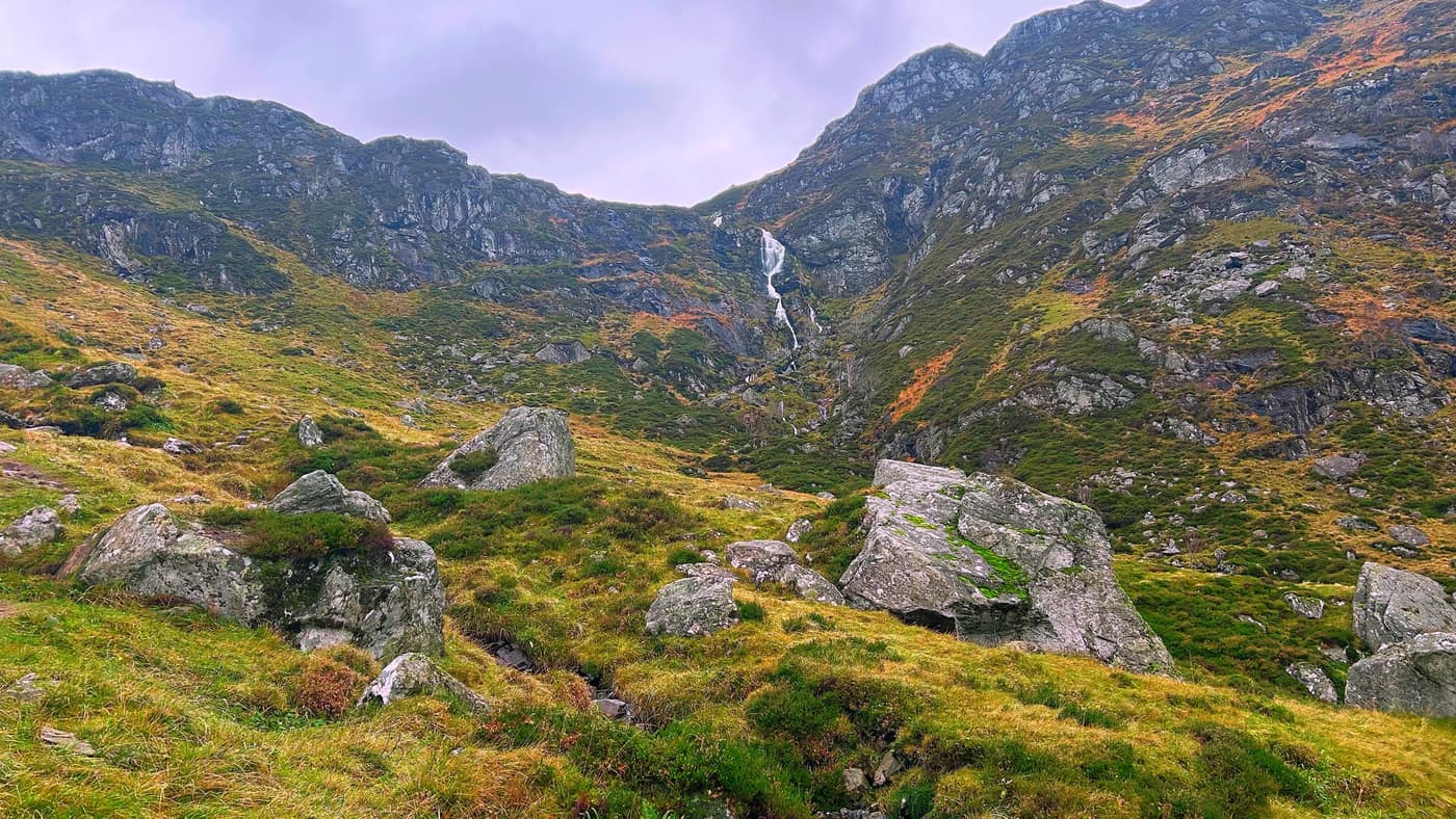
Up past the waterfall
You get a closer look at the waterfall on the way up, and there are some boulders to scramble over. Nothing serious, but mind your step.
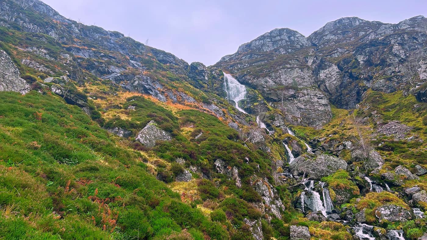
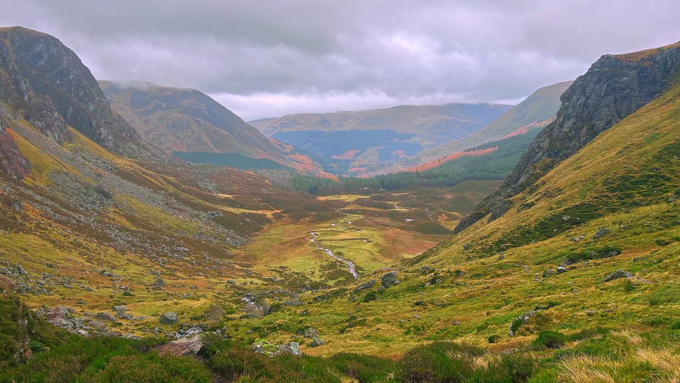
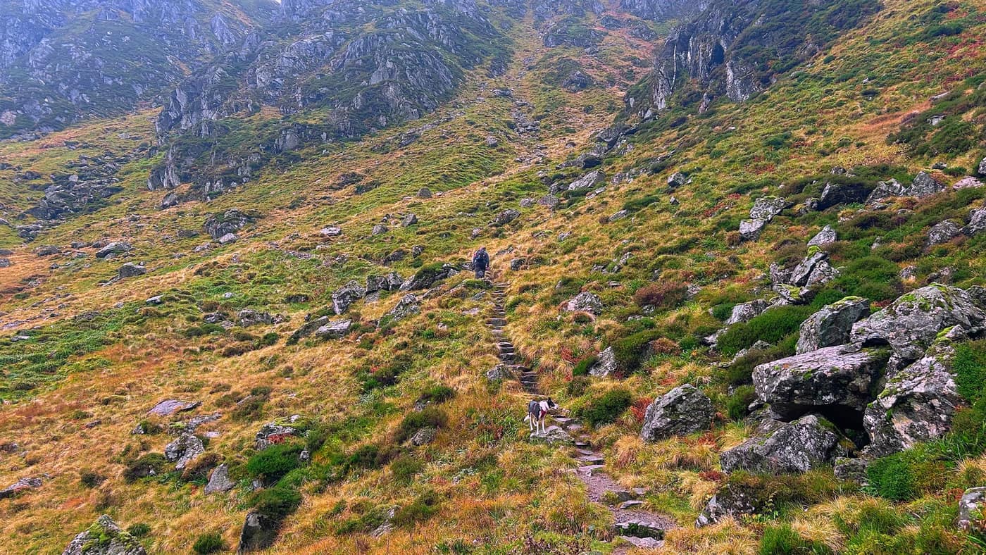
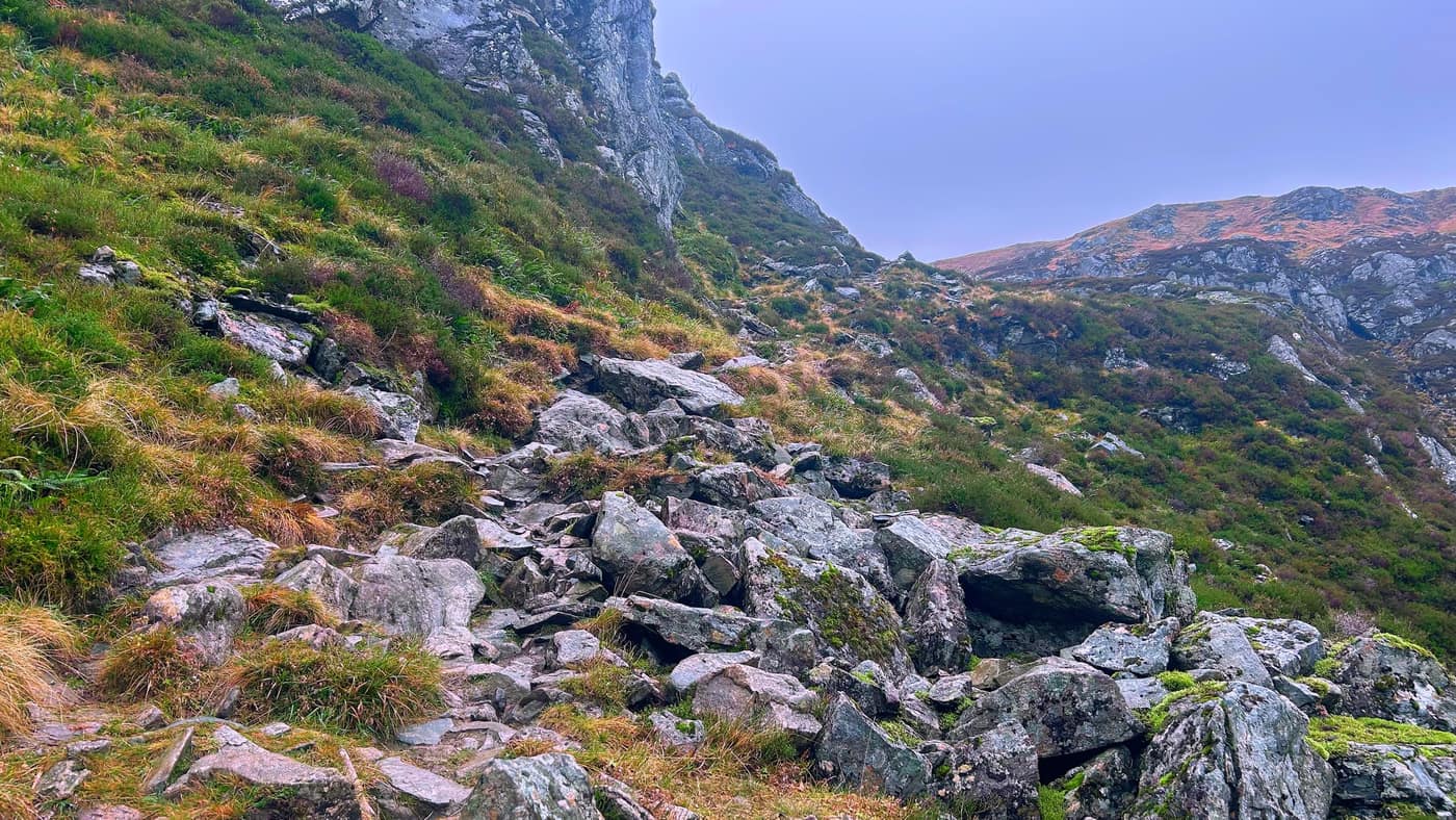
Mayar
One final push to the top.
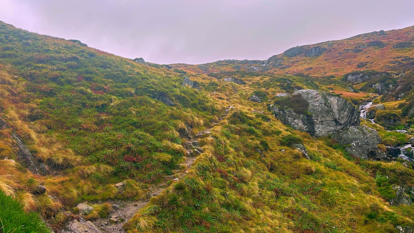
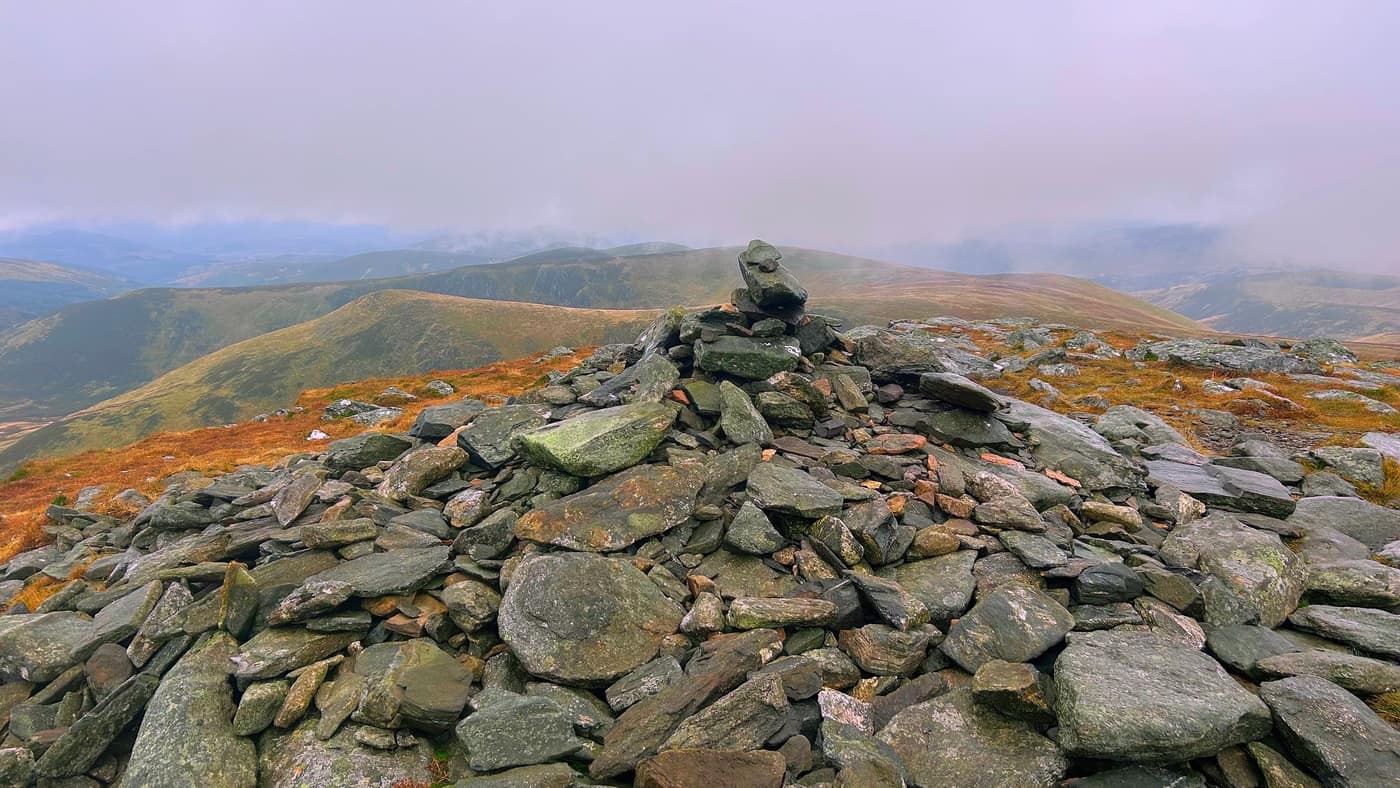
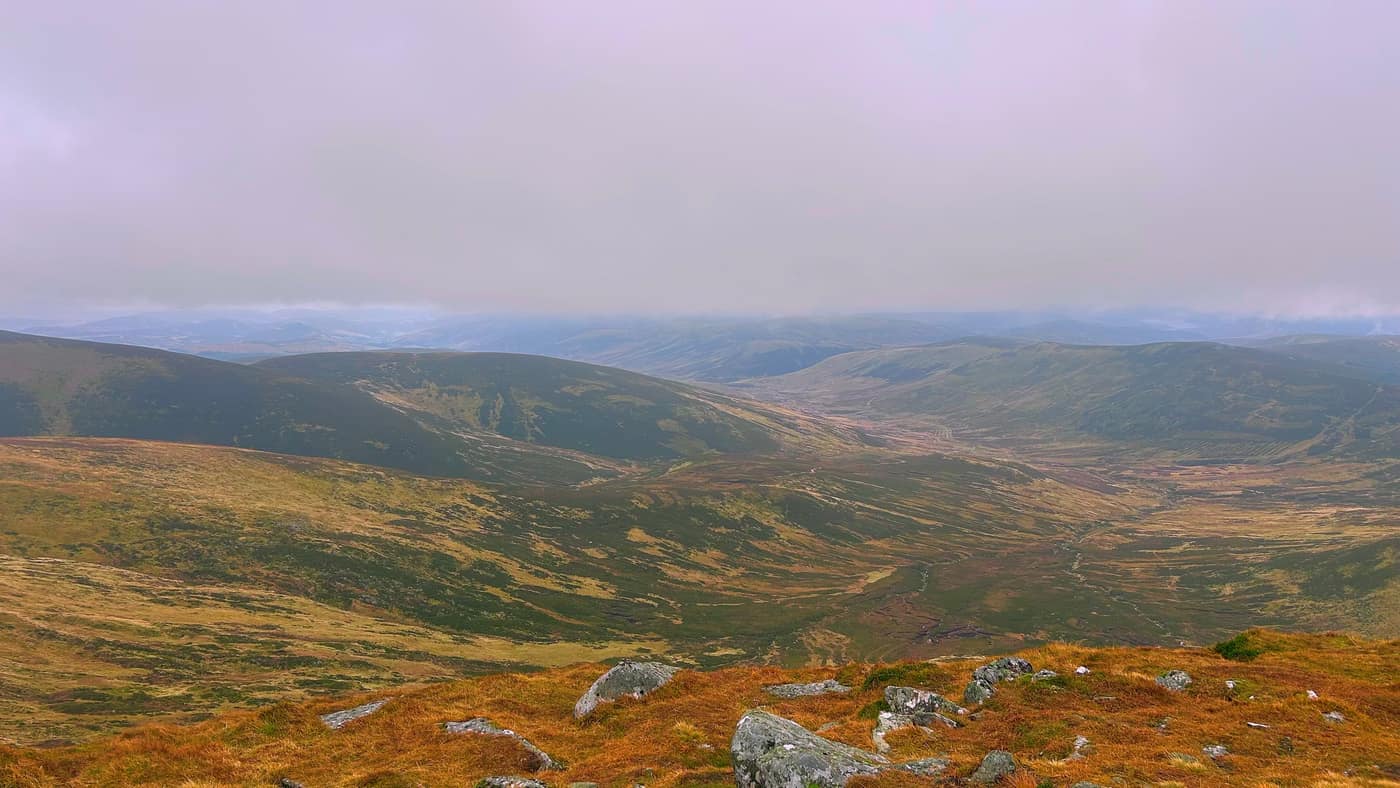
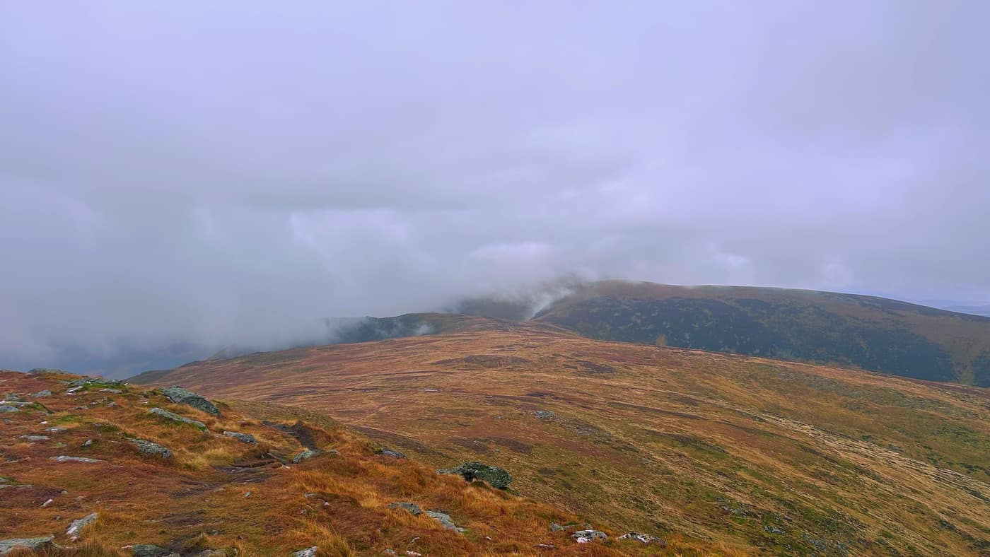
The views from the top.
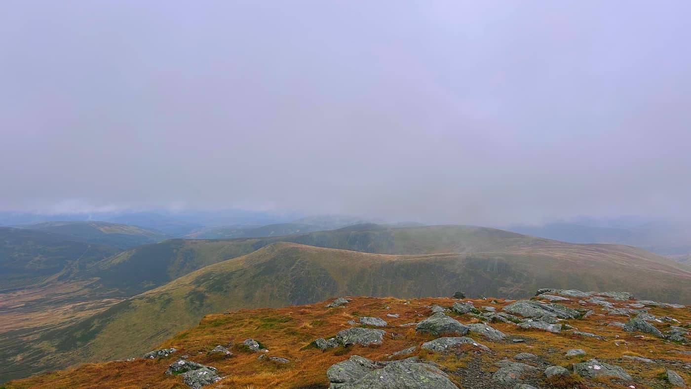
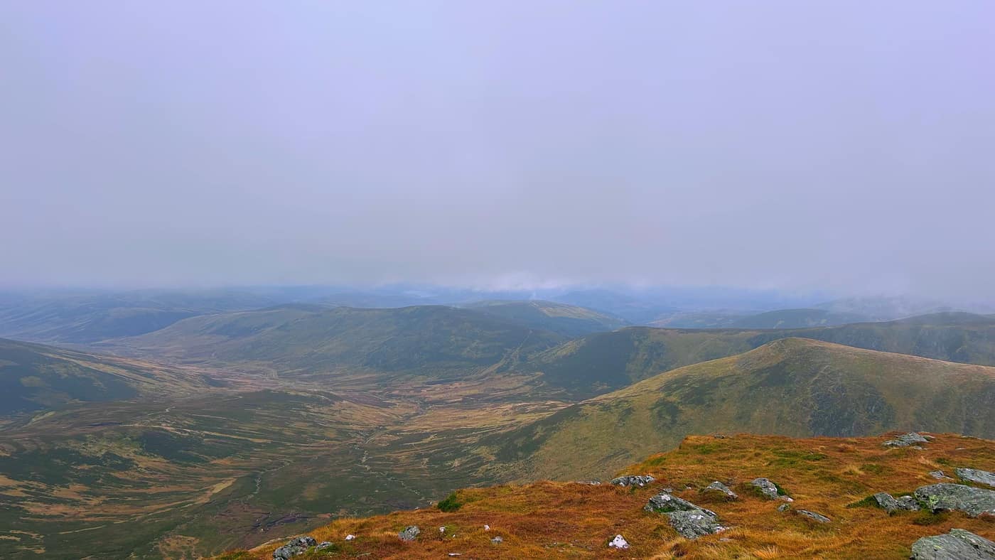
Across to Driesh
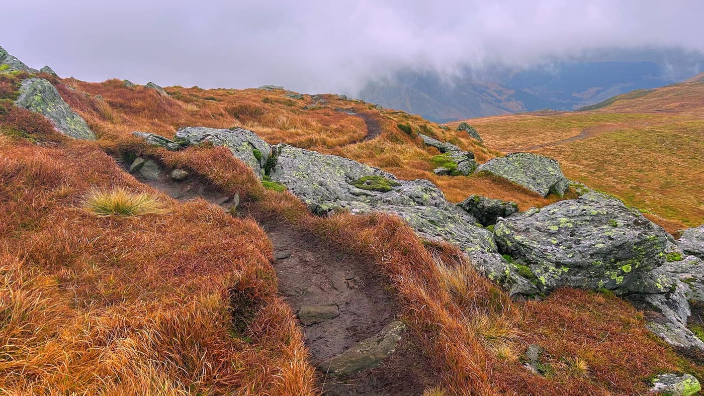
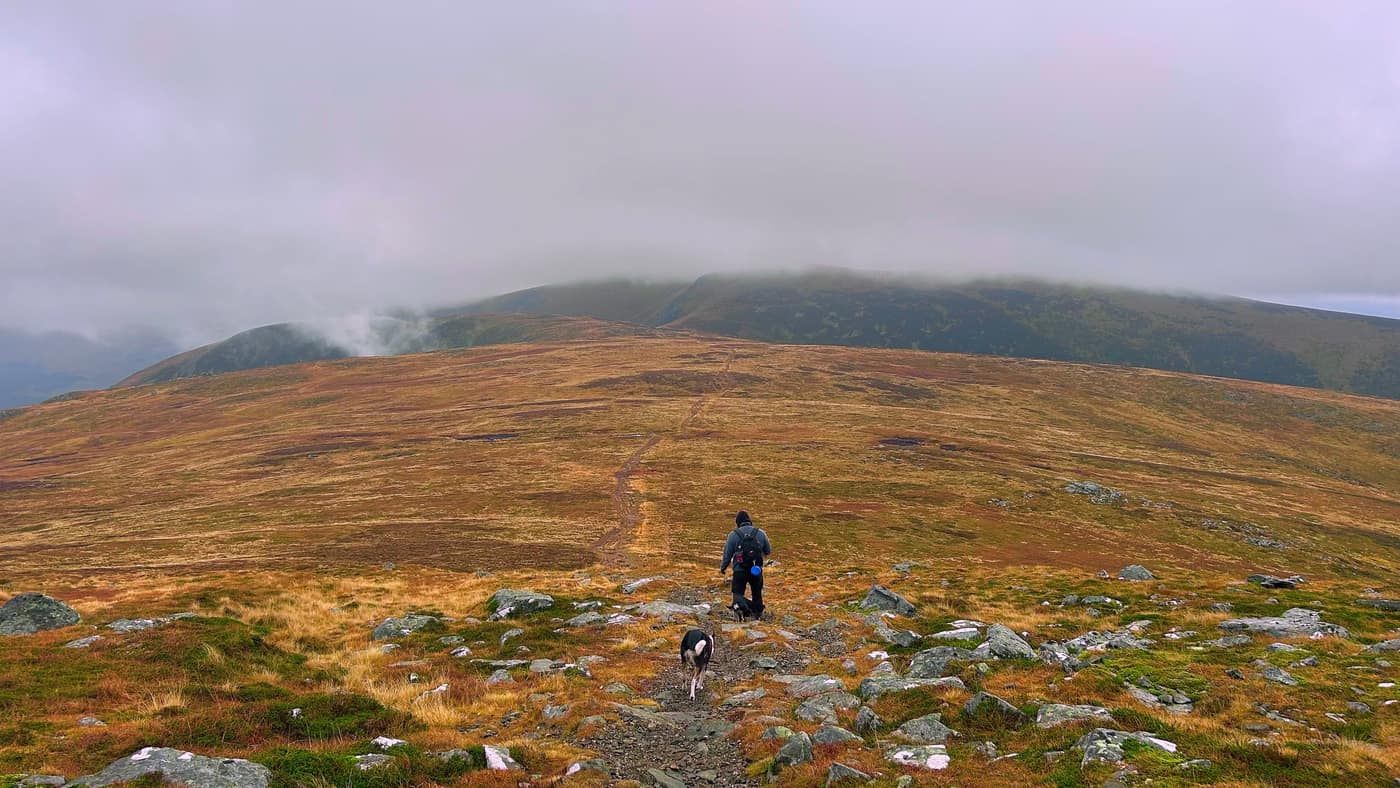
Now onto Driesh. Turn round and face the way you came. You’ll see a path veer off to the right, and a path in the distance heading towards Driesh. Head down this way for a good 20 minutes or so.
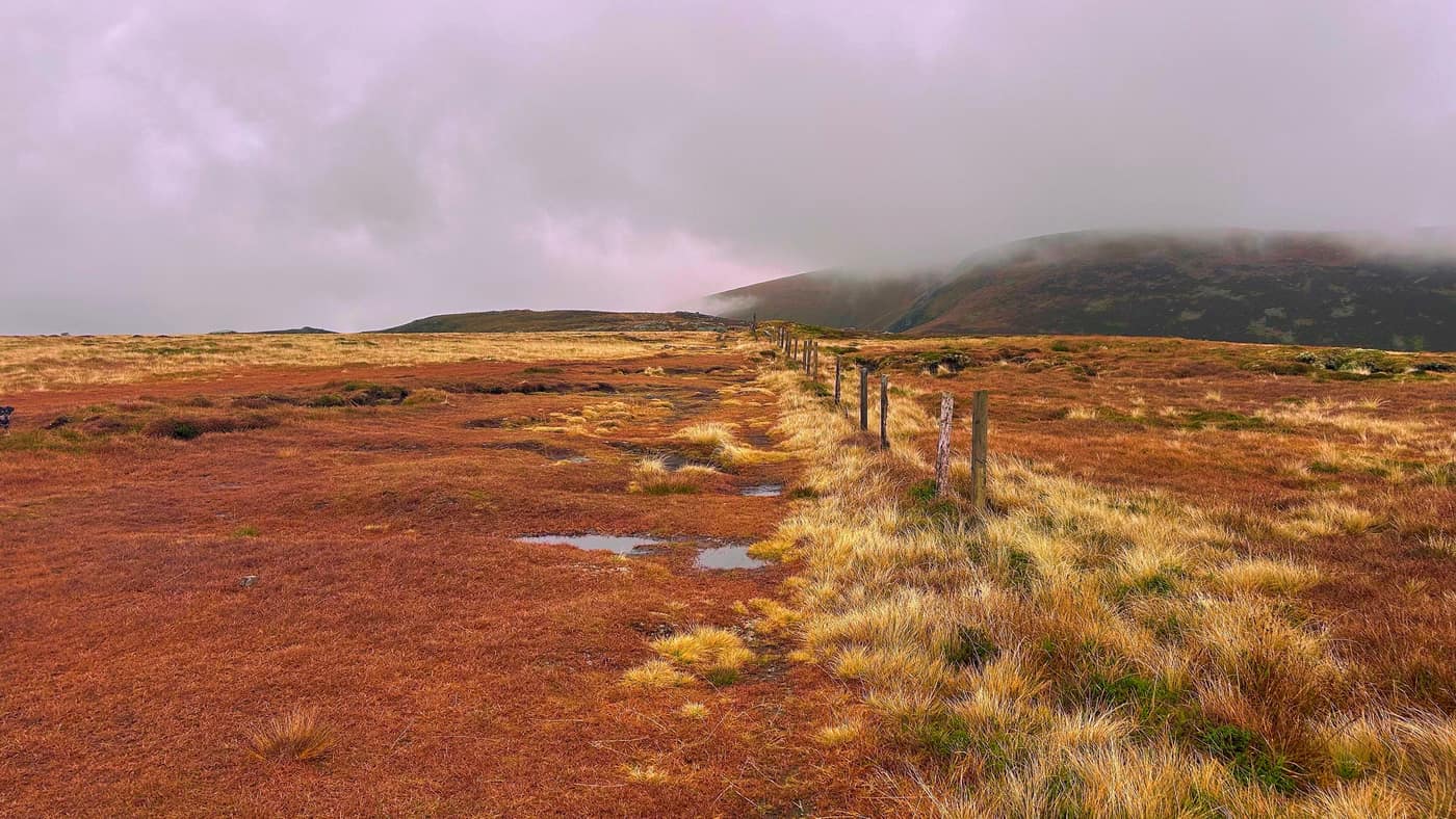
Up Driesh
You’ll come to a path that branches off to the right. Head this way for Driesh. Again, some stunning views on the way up. To be fair, this only took another 30 minutes or so, if that, to get to the top.
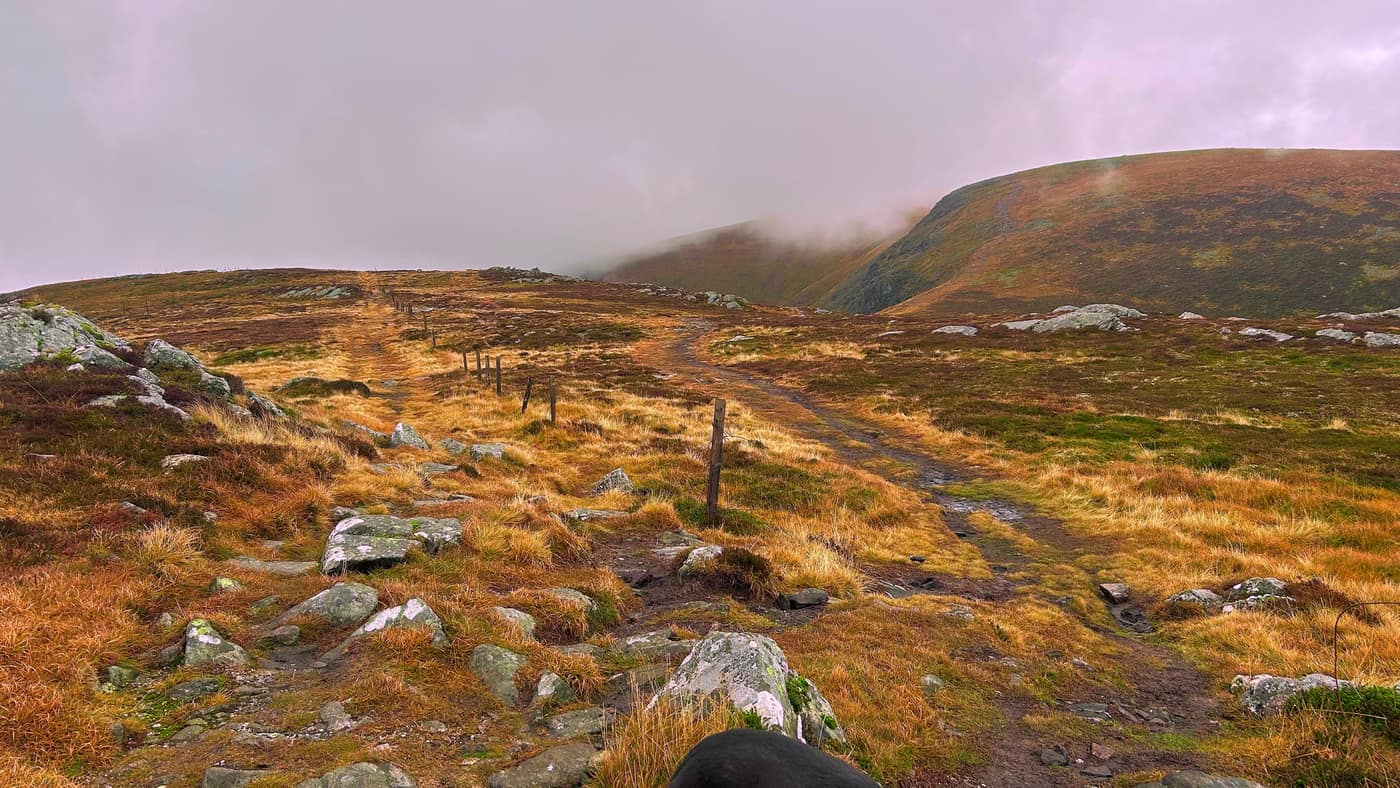
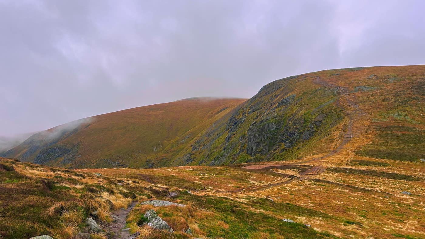
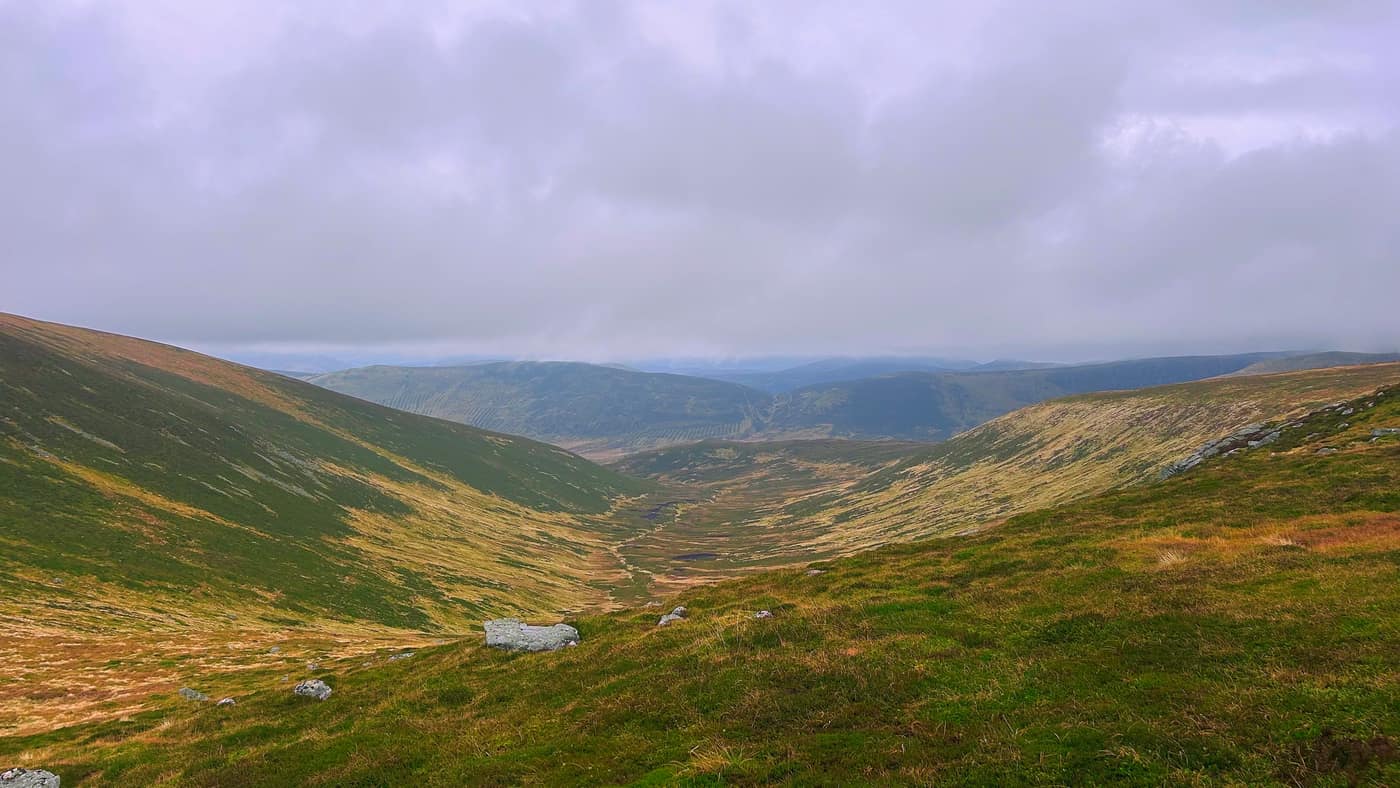
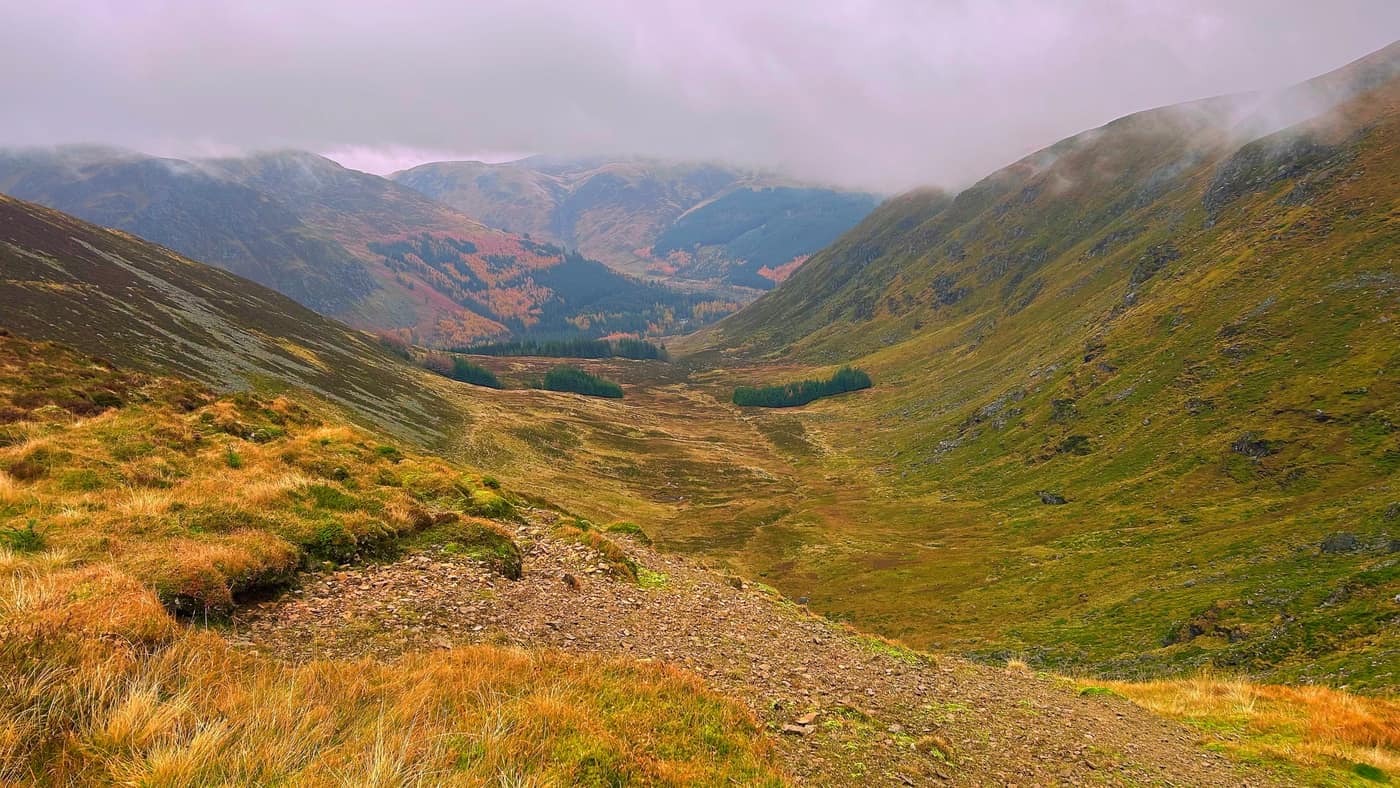
Driesh
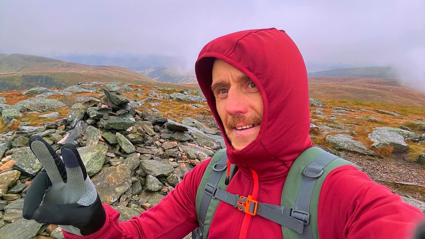
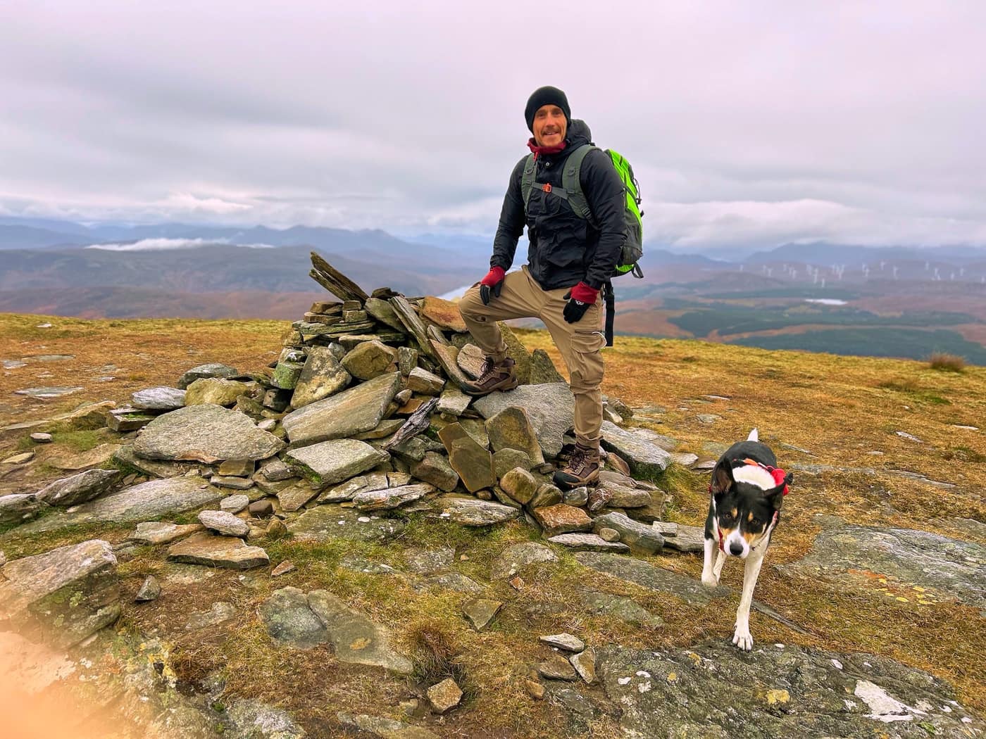
The top of Driesh. The views weren’t so good this time, pea soup, but we managed our summit pose. We stopped about 15 minutes at the top.
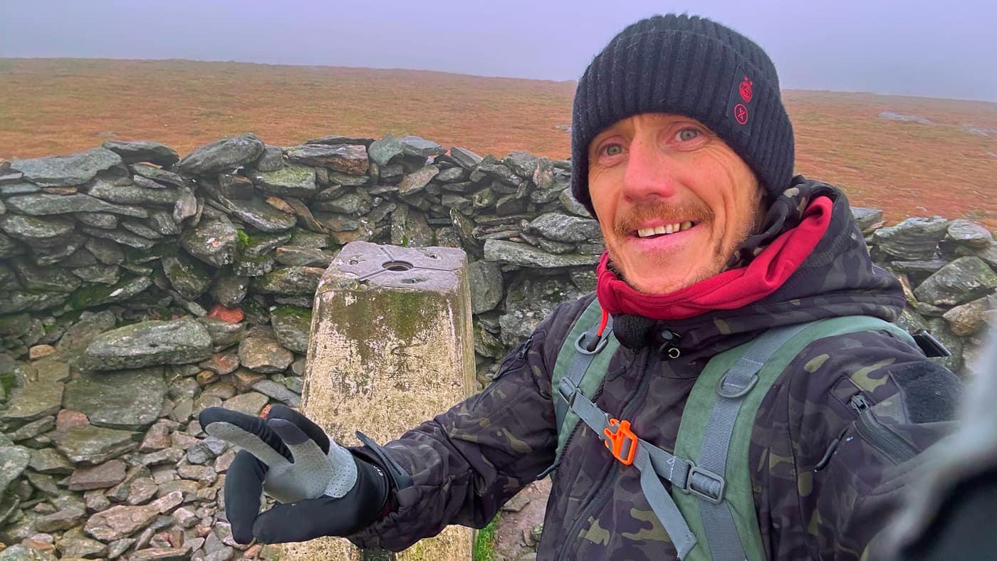
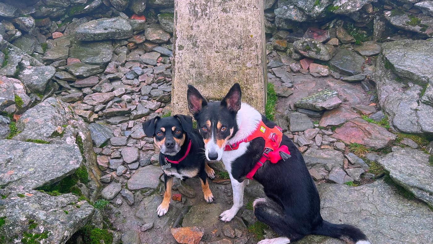
The way down
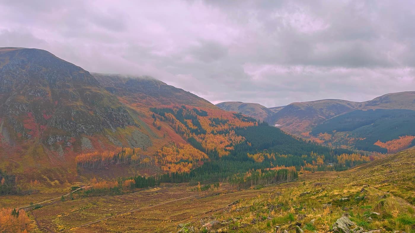
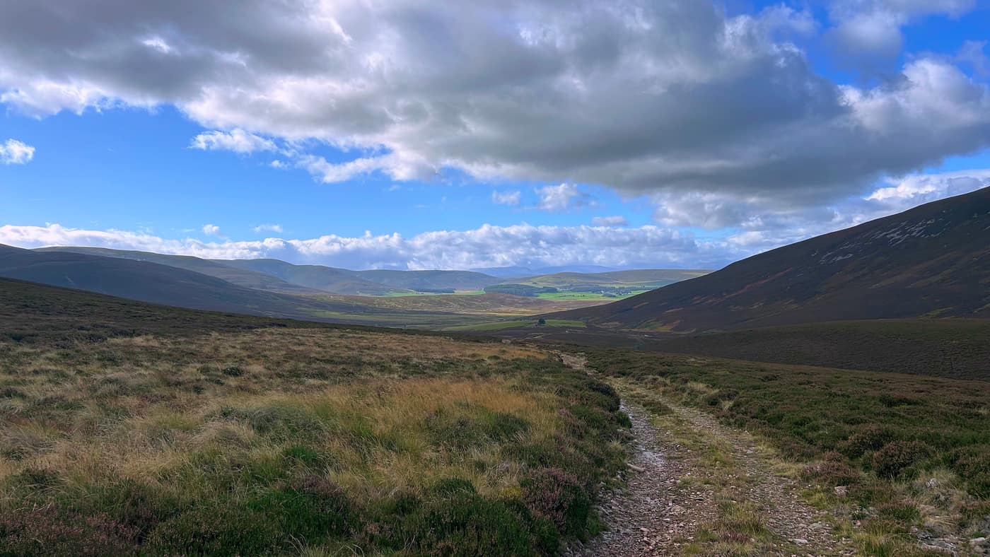
For the jaunt back, it’s easy to spot the path that takes you all the way back down to the car park. When heading back down, look across the way you came and you’ll see a branch off to the right. That leads to a thin track which takes you on a direct route to the car park.
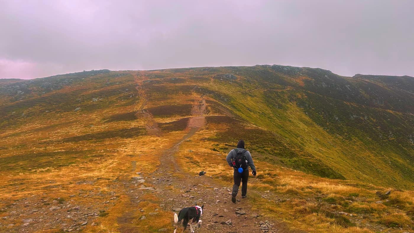
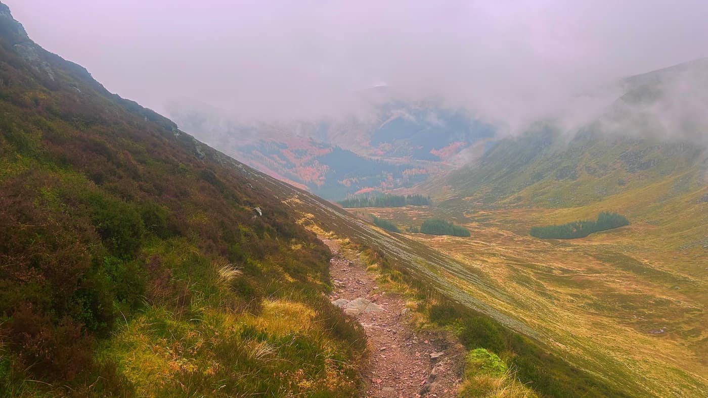
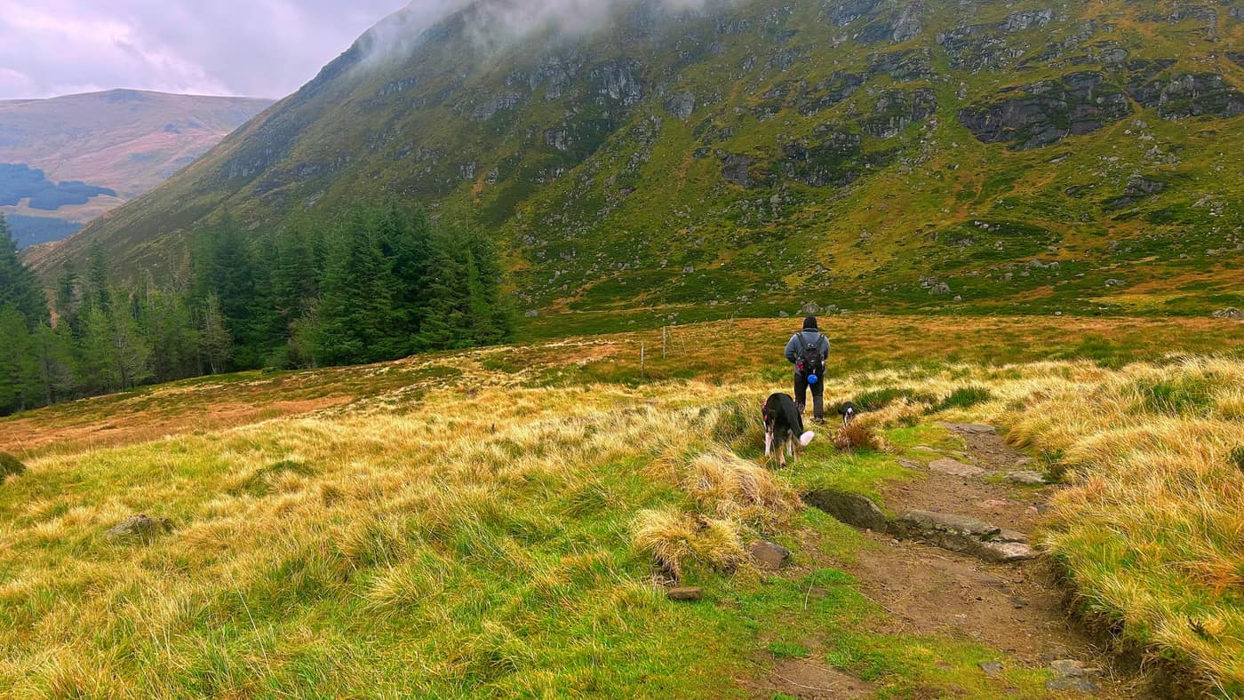
Once again, admiring the views on the way down.
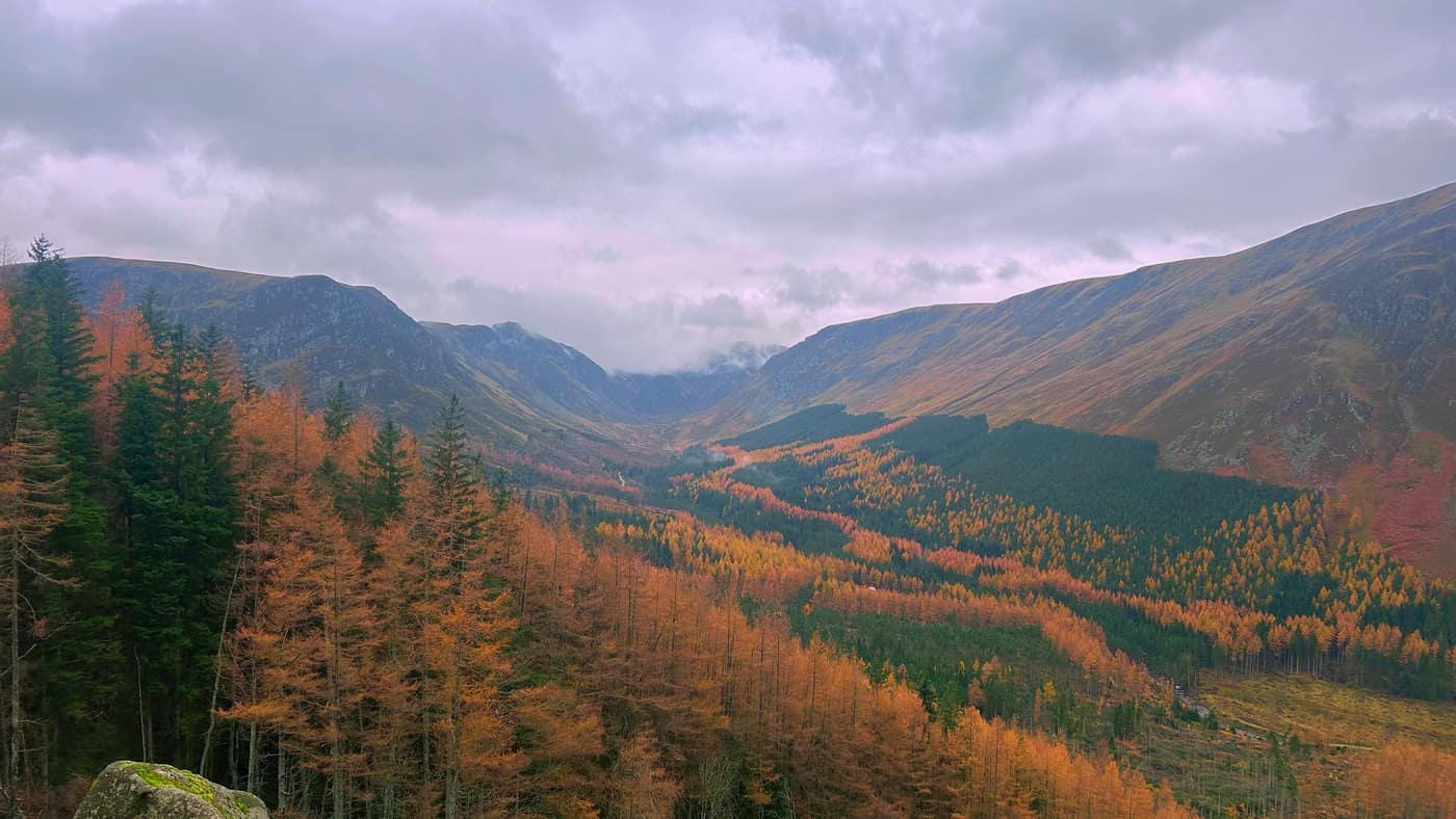
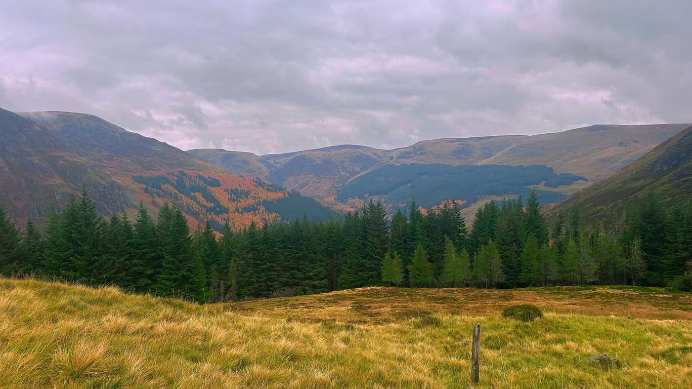
Back to the car park
The final part. When you reach the road, you’ll see a small path heading downhill. Head down here and keep moving forward until you get to the bridge, which basically is you at the car park, on the right.
Worth knowing
It’s about 14.6 kilometres with 894 metres of climbing, and the 5 hours is our pace, with Ryan, Chase and Piper. The app reckons about 5 hours too. The car park at Glen Doll is a pay one, £3 a car for the day. Check the trail signs by the visitor centre before you set off, as some of the trails were closed when we were there.
On the way in, stick to the main track and don’t take the paths that veer off towards Jock’s Road. Past the waterfall there are boulders to scramble over, nothing serious, but mind your step. The cloud came down on Driesh and we saw nothing from the top, so go prepared for it.
This one’s a loop, not back the way you came. We researched it before the day, and the photos above show how clear the path down from Driesh is. If you’re not sure of it on the day, go back down the way you came up.
The star
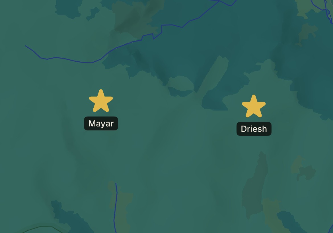
Two more stars on the map, Mayar and Driesh, side by side.
And two new badges earned, Munro bagged for both.
The hills that build up to it
Take the tick list with you.