Five hills in under three hours
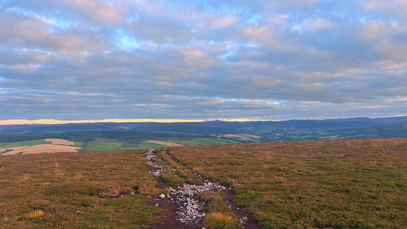
Same rule as always before anything else: always go back down the way you came up, unless it’s a loop you’ve planned beforehand. If you’re not sure of the ground, that’s the way you know.
Five hills round Moray and the Cairngorms you can be up and back down in three hours or less. I put these on Instagram a few weeks back, drawn to their real height side by side, and a lot more folk looked at it than I expected. So here they are properly.
They’re in order of height, and that’s on purpose. Start at the top of this list and work your way down it, and by the end you’re on a Corbett — and not far off being ready for a first Munro.
The distances, climbs and times below are the app’s figures for a steady pace there and back, with stops. My own times on the reports are quicker, because I walk quickly. Go by these, not mine.
Bin of Cullen
320 metres · about 5 km · 250 m of climbing · 1½ to 2 hours
Forest track all the way to a trig point, with the whole Moray Firth laid out in front of you. It’s not on any of the national lists, and it’s one of the best mornings you can have in Moray. There’s a toposcope at the top and a couple of benches somebody has put up there.
One thing to know: at the first junction the track straight on looks obvious, and it’s wrong. I walked ten minutes the wrong way. Take the left.
A first hill — short, a clear track, nothing to catch you out.
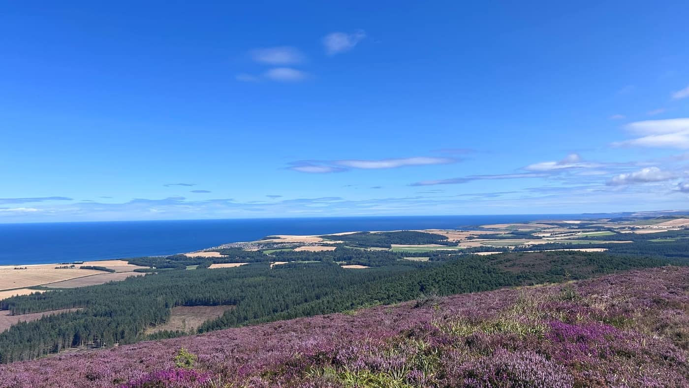
Full report: The Bin of Cullen.
Meikle Balloch Hill
366 metres · about 6 km · 260 m of climbing · about 2 hours
Just outside Keith, waymarked the whole way, and it holds up well in poor weather. A trig point at the top and the whole of Moray round it — Keith below you and farmland squared off green and gold. This was the first walk of the round and the first proper run out for the app.
There are three or four other paths leading off that summit, and every one of them looks like a fine idea when you’re stood up there. Go back down the way you came.
Another first hill.
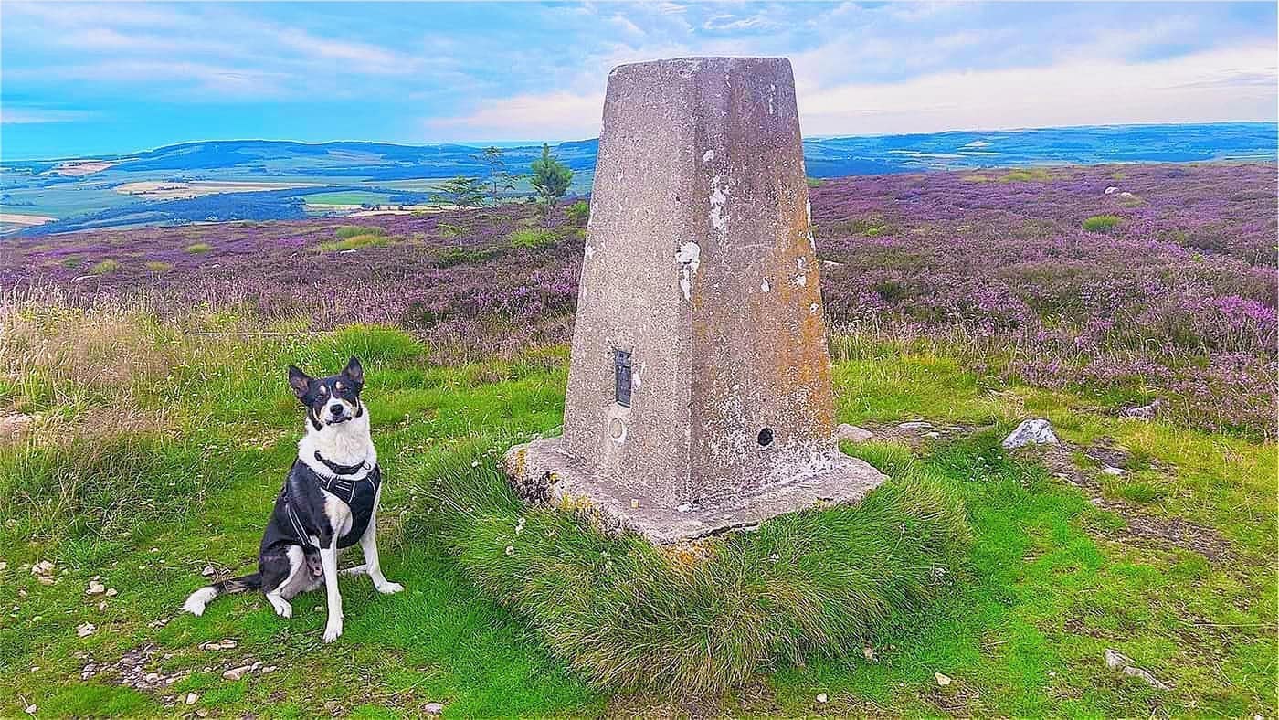
Full report: Meikle Balloch Hill.
Ben Aigan
471 metres · about 7 km · 330 m of climbing · 2 to 2½ hours
Wide tracks above the Spey near Craigellachie, shared with the mountain bikers, so keep an ear out behind you. From the top you’re looking down on Rothes and the whisky country, with the Moray Firth out along the horizon.
We did nearer 11 kilometres, with a wrong turn at the top of the quarry path in there. Go right there, not left.
A step up — longer and steeper than the first two, still a straightforward day.
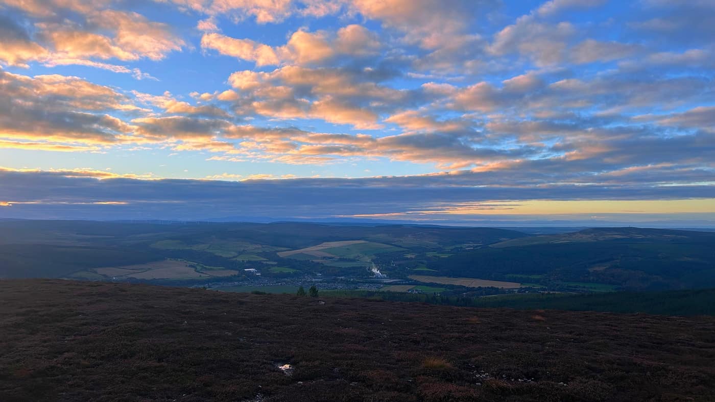
Full report: Ben Aigan.
Meall a’ Bhuachaille
810 metres · about 8 km · 500 m of climbing · about 3 hours
A Corbett above Glenmore, starting from the visitor centre, with a clear path and a steady climb. The app calls it the best introduction to the Cairngorms there is.
I haven’t walked this one yet, so there’s no report — these are the app’s figures.
Ben Rinnes
841 metres · about 7 km · 500 m of climbing · about 3 hours
A Corbett, and the big hill you can see from most of Moray. It starts from the Glack Harnes car park, and it’s a clear path the whole way. I’ve been up it twice, before the blog existed, so there’s no report for it yet.
You can see it from the top of Ben Aigan, which is a good way to look at it — once you’ve done Ben Aigan, this is the next one.
Ben Rinnes and Meall a’ Bhuachaille are both ready-for-more hills — a proper climb that tells you you’re near Munro shape.
After these
If you’ve done these, a first Munro is the next step. Mount Keen is the one I’d send you up — a good track the whole way, and nothing to catch you out.
Every one of these is in the app with the route, the grid reference and directions to the car park. Under three hours is the app’s estimate, not a promise — give yourself longer if you need it, and turn back if the weather turns.
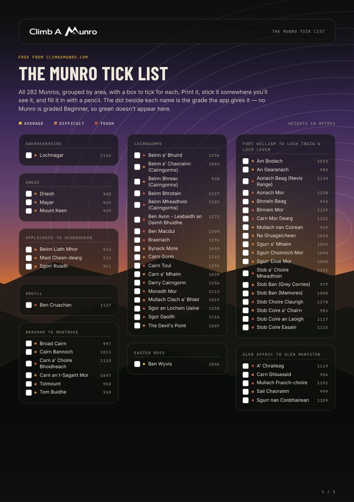
Take the tick list with you.