One month, eight hills
Same rule as always before anything else: always go back down the way you came up. If you’re not sure of the ground, that’s the way you know.
I’ve written that eight times now and it’ll be at the top of the next one as well.
I’d not been up a hill in a long while before this. Life got busy and the hills took a water break.
Then in the five weeks from the 8th of August to the 12th of September I did eight of them and wrote every one up. Three of the eight gave me nothing at the top.
Here they are in the order I walked them.
8 August — Meikle Balloch Hill and Knock Hill
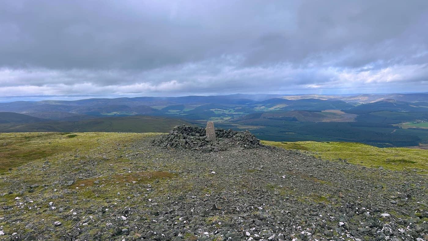
Meikle Balloch was the first walk of the round and the first proper run out for the app. I built the thing, so if it sent me up the wrong track there’d be nobody to blame. It’s 366 metres just outside Keith, thirty-five minutes up, a trig point at the top and the whole of Moray round it — Keith below you, farmland squared off green and gold, hills on the skyline whichever way you turn. There are three or four other paths leading off that summit and every one of them looks like a fine idea when you’re stood up there. I went back down the way I came.
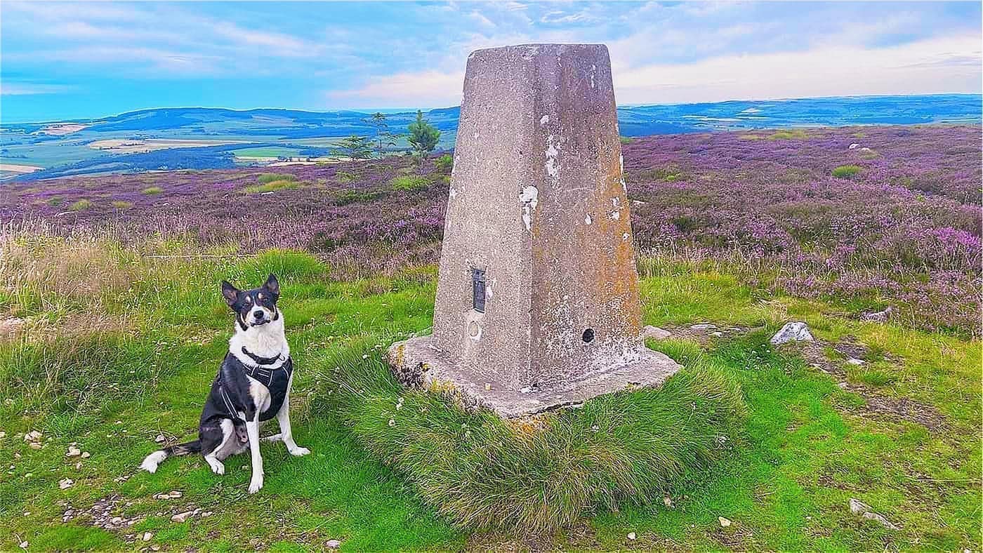
Chase had been up it with me and was showing no signs of being bothered about another, so I hit Take me there and we went to Knock Hill. 430 metres, five easy minutes through the trees and then one steep pull after the second gate. I ran that pull, because the personal trainer in me was spurring me on, and paid for it with a few thirty-second stops to get my breath back. Twenty-five minutes up is not a sensible benchmark for anybody.
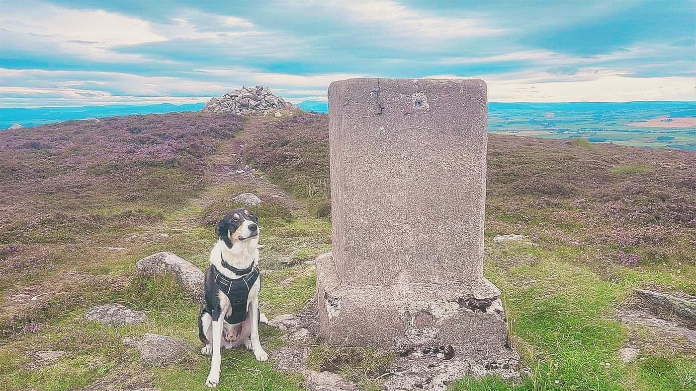
Full reports: Meikle Balloch Hill and Knock Hill.
15 August — The Bin of Cullen
320 metres behind Cullen, not on any of the national lists, and one of the best mornings you can have in Moray. I got the timing right — the heather out in full colour and one of those days the Moray coast produces about six times a year. You get the Firth one way and the whisky country the other, a toposcope on a plinth telling you Wick is 88 kilometres off, and a couple of benches somebody has put up there.
I also walked ten minutes the wrong way at the first junction, because the track straight on looks obvious and there’s nothing to tell you otherwise. Take the left.
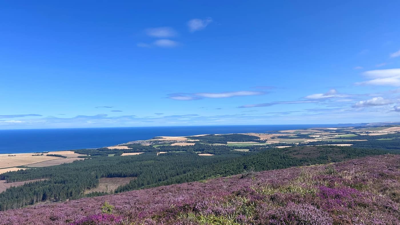
Full report: The Bin of Cullen.
23 August — Tap o’ Noth
563 metres above Rhynie, and 298 metres of climbing in a bit over two kilometres, so it doesn’t mess about. This was a family day — Katrina and the kids, Ellie, Lilly and Caiden, and Chase. It was the first hill the three of them had done. Forty-eight minutes to the top with the whole crew.
They had a moan on the gravel path near the end, which is the steepest part of it.
What is the point in all this, may I ask?
I said they’d understand when they got there. At the top they ticked the star off on the app and got the food out, and we sat about half an hour picking out what we were looking at. I asked them, do you get it now? They said yes.
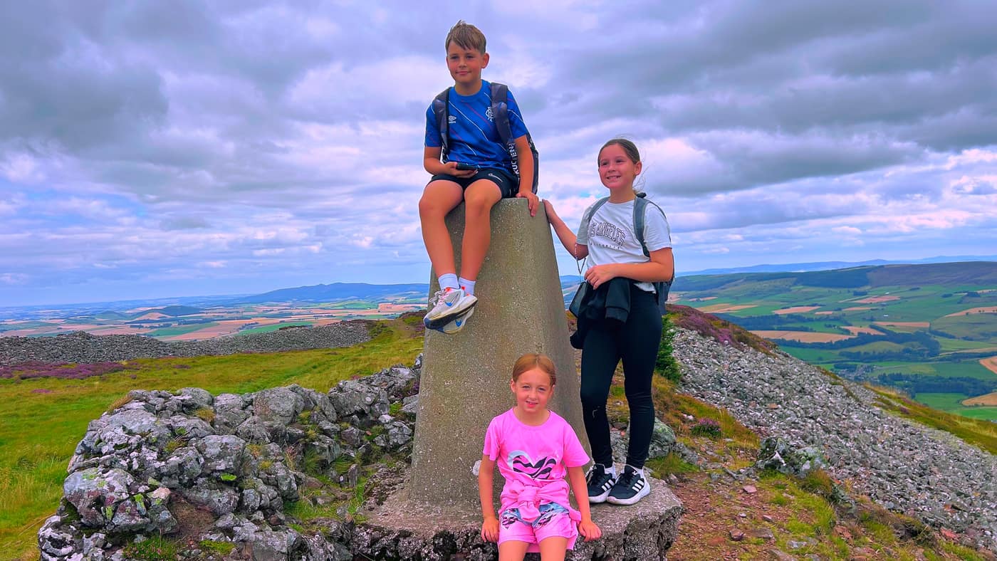
Full report: Tap o’ Noth.
29 August — Bennachie and The Buck
Two again, and the mist didn’t lift for either of them.
Mither Tap is the top of Bennachie with the old fort on it, 528 metres above the Garioch, and 428 metres of climbing to get there. It’s well signposted the whole way and there’s plenty of parking at the Bennachie Centre, £3 at a machine that takes a card. What I got out of that walk was the directions and the climb. The one landscape view of the whole day came on the stone steps near the top and it didn’t last. Chase is in nearly every photo on that page with a stick in his mouth, and then we got to the summit and he was away somewhere else entirely.
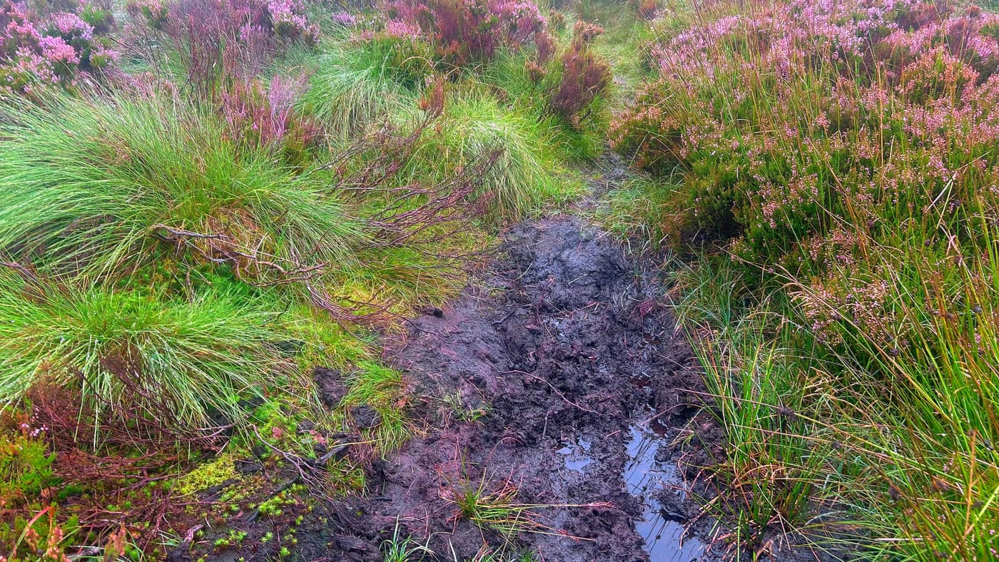
The Buck in the afternoon, a Graham of 721 metres in the hills between Tomintoul and Banff. It’s marsh for roughly three quarters of the climb, with no visible path through most of it. Wear boots you don’t mind ruining, take care crossing it and keep out of the deeper sections. I put a note in the app at nine minutes saying I hoped that was the end of the boggy patch. At ten thirty-nine: “NOPE! STILL BOGGY BOOTS ON!!” Not a hill I’d come back to in a hurry.
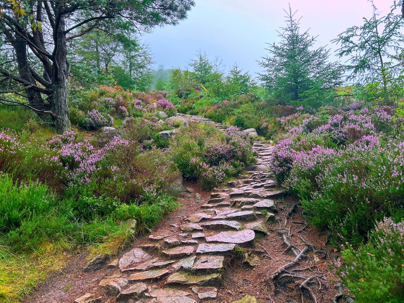
Full reports: Bennachie (Mither Tap) and The Buck.
12 September — Clachnaben and Morven
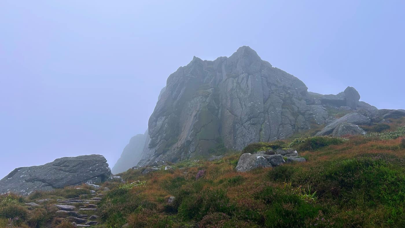
Clachnaben is a Graham of 589 metres south of Banchory, the one with the great granite tor on top that you can see from the road for miles around. I saw none of it. The mist came in about two thirds of the way up and stayed, the rock only showed itself when I was nearly under it, and it took me a good five to ten minutes of hunting about the top to find the trig point. I even checked on top of the rock in case it was up there. Above the trees there are small pieces of metal sticking out of the ground, for a couple of minutes of walking. Easy enough to avoid once you’ve spotted them, but if you’re running, or jumping sections of the path, that’s a sore foot.
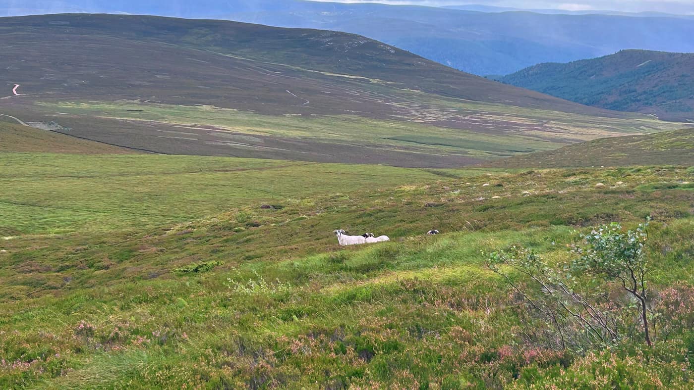
Then Morven, a Corbett of 872 metres above Logie Coldstone, and that one gave us the lot. The climb is brutal — every bump you think is the end of it has another one sitting behind. There’s a derelict house on the way up that I had a wee nose in, two rams lying out on the hillside further up, and the view goes as far as it does because the hill stands on its own.
How the hell did they get up here?
Full reports: Clachnaben and Morven.
The three that gave me nothing
Bennachie, The Buck and Clachnaben. Three summits out of eight and not a view between them.
Some days you get the view. Some days it’s rain the whole way and you see nothing. Worth saying, because the photos on a site like this are mostly the good days and that isn’t what a month actually looks like. I’ll go back to Bennachie at some point for the scenery. I’m in no rush to go back up The Buck.
Where I’d send you first
The Bin of Cullen or Meikle Balloch. Clear tracks, short enough to fit round a morning, nothing to catch you out in decent weather, and a trig point and a proper view at the end of both. Tap o’ Noth if you’ve got kids with you — it’s short, it’s signposted, and the top gives them plenty back for the size of it.
Leave The Buck. Bog for three quarters of the way up is not what you want on a first hill.
The times on every one of these reports are my own pace, with Chase, and I walk quickly. If you’re new to this, give yourself longer and don’t think twice about it.
Where that leaves me
Chase has been up all eight of them. The Buck is the only top he couldn’t get himself onto for the usual pose at the trig, and he had to settle for sitting at the foot of the rock.
Morven was badge seven of Couch to Corbett. One more and the programme is complete.
Eight hills in five weeks, and a report written for every one of them. That’s more hillwalking than I’ve done in a long time, and I’d like to keep it going.
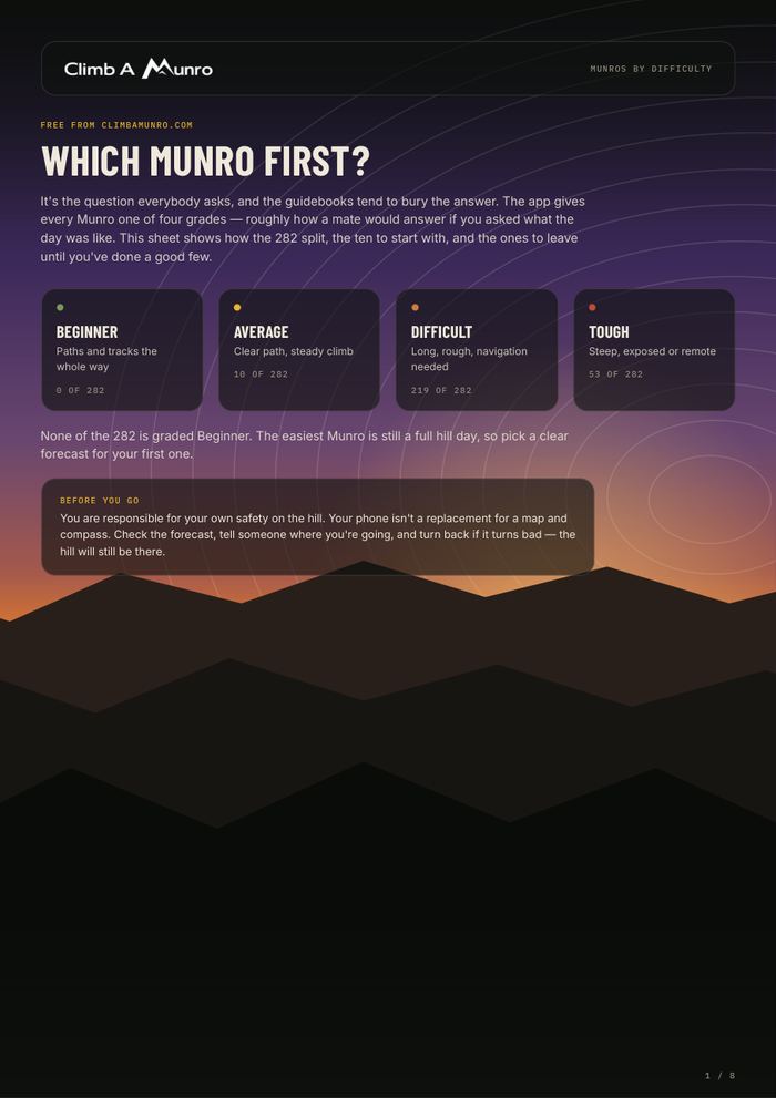
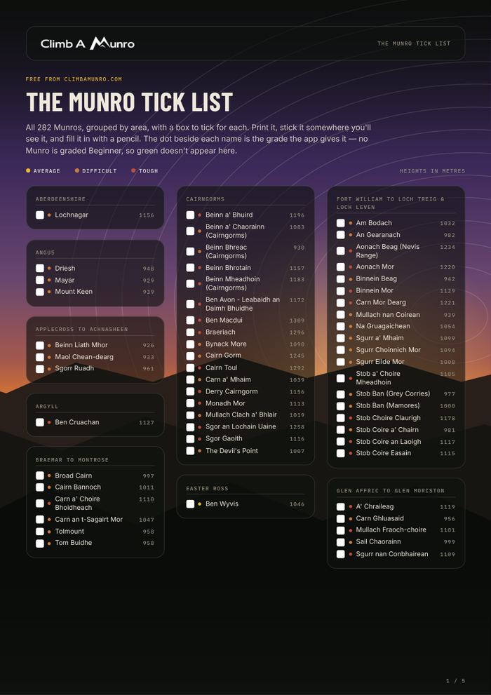
Take the tick list with you.